Capacity Building and to liaise with institutions and countries of high potential but no strong presence at ICA currently is a key strategic priority. It has to be seen in this context, that I had the opportunity for a working visit to Yaoundé, Cameroon at 4.-6.March 2024. During the visit to Cameroon, I had three official meetings with top administrative representatives in the Cameroon Government. In addition, a workshop at the ministry of Scientific Research and Innovation on Contemporary Cartography has been given.
At the visits at the National Institute of Statistics, die National Institute of Cartography and the Ministry of Scientific Research and Innovation I had the opportunity to learn to know the activities, plans and constraints of working on Geoformation and Cartography in Cameroon. Topics of discussion involved issues related to National Spatial Data Infrastructures and the role of the UN-IGIF framework, the topic of working on an Atlas or cartographic products in respect to the SDGs from a national Cameroonian perspective, the eventual benefits of a regional cartographic conference in Africa, a national membership of Cameroon to ICA and strategies on how to ensure capacity building access to programs offered from international organizations as well as the challenge of producing reliable contemporary national topographic maps.
The workshop on Cartography and Geospatial Information management was meant for high-level representatives of the domain. After introducing the International Cartographic Association I addressed the contemporary nature and relevance of Cartography, followed by Madam Takem Ebangha Agbor Delphine, talking about the Collaborative Approach to a National Spatial Database. The last speaker was Mr. Fernand Guy Isseri, the Co-Chair of United Nations High Level Group on Integrated Geospatial Information Framework (IGIF) on the opportunities and challenges of a National Spatial Data Framework for Cameroon.
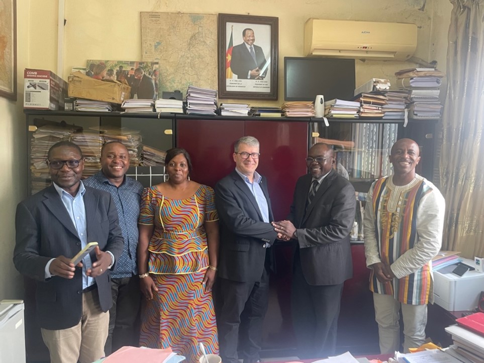
At the Ministry of Science and Innovation of Cameroon at Yaoundè with the Director for Scientific Policies and Planning Dr Jean Marcel and the Department Directors for Capacity Building, Strategy and Planning
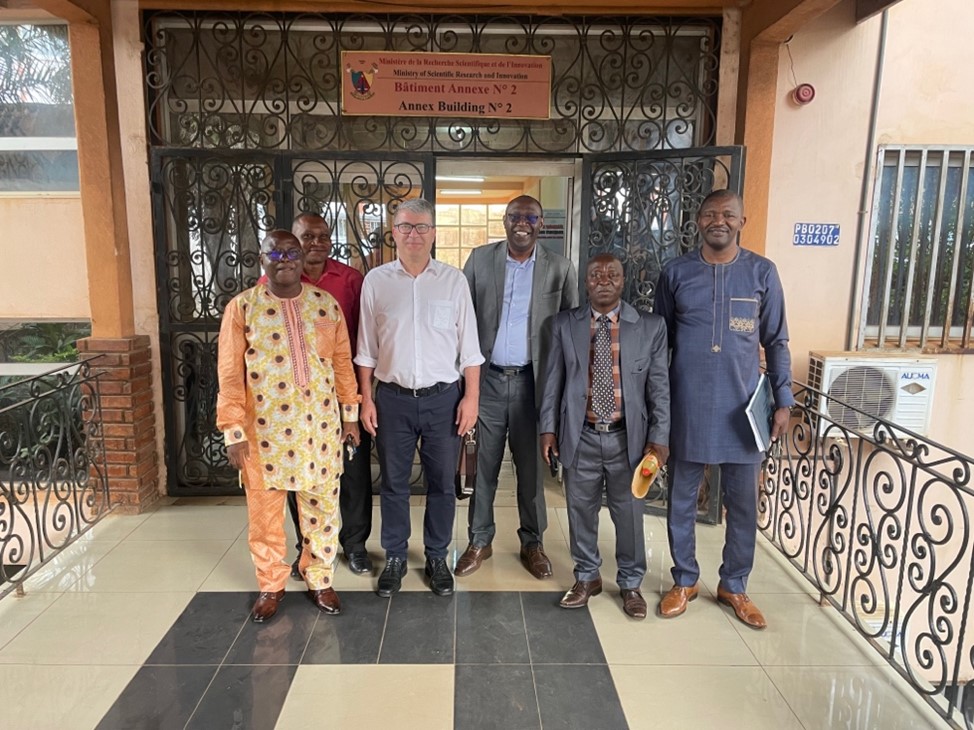
Some participants of the Workshop on Cartography and Geospatial Information Management at the Ministry of Scientific Research and Innovation of Cameroon at Yaoundè on 5.3.24, including
the UN-GGIM Africa representative Isseri Fernand Guy, governmental representatives and representatives of Cameroonian Universities
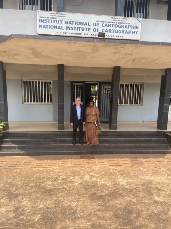
With senior Researcher Takem Agbor in front of the Cameroonian National Institute of
Cartography
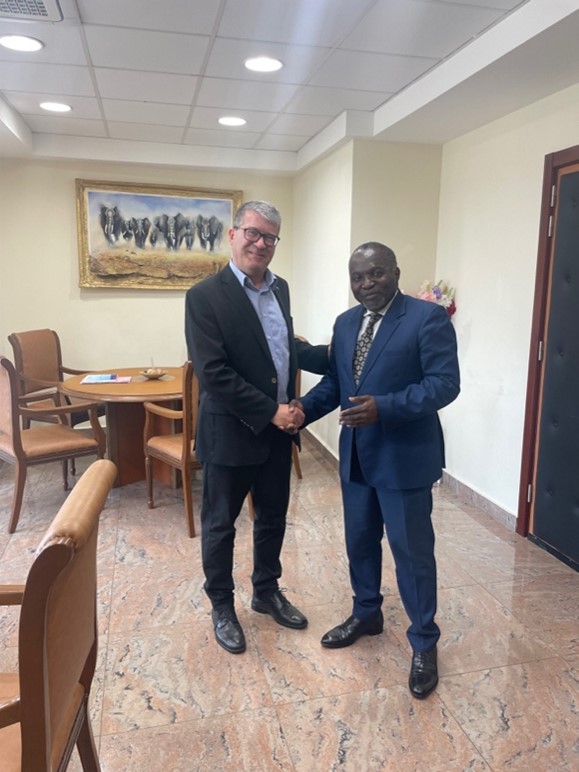
With the Assistant Director General She Etoundi Joseph Guy Benjamin of the National Institute of Statistics of Cameroon
The intention is to follow the identified areas of mutual interest up, so that the visit leads to further activities.
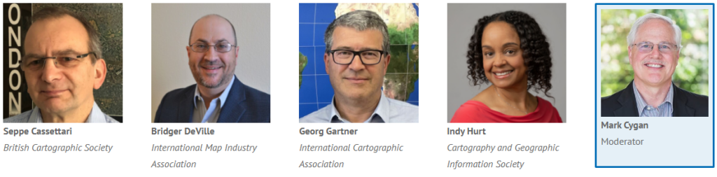
Georg Gartner