


The ICA is happy to feature the 9th Map of the Month: “Carte de Randonnée 4901 Wallis – France”
At the 24th International Cartography Conference in Santiago, Chile, the map won the 2nd jury’s prize in the category “Topographic Maps”. The jury stated:
Wonderful relief representation; beautiful in its simplicity.
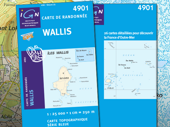


Publisher’s Description: [english] This topographic map, financed by a FED (European Development Fond), was realized in collaboration with Wallis Territory and ALOFI. Vector data are from the Large Scale Reference system completed with information from Wallis and Futuna Territory. To be noted the land use completeness and the presentation of the coral barrier.
[french] Nouvelle édition de la carte de WALLIS
Cette réfection de la carte Série Bleue (1:25000) 4901 WALLIS a vu le jour en 2008, réalisée et éditée par l’Institut Géographique national en collaboration avec le Territoire de WALLIS (Uvéa en polynésien) et ALOFI. Le financement en a été assuré par le FED (Fonds européen de développement). Cette cartographie vectorielle exploite les données du Référentiel à Grande Echelle de l’IGN, complétées et actualisées à l’aide des données géographiques du Territoire de Wallis et Futuna.
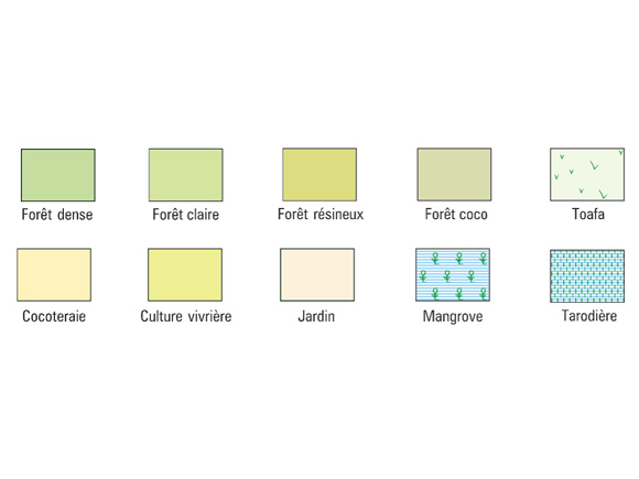
L’occupation du sol de cette carte haute en couleur est particulièrement riche puisqu’elle ne compte pas moins de dix thèmes de végétation, dont la forêt coco, le toafa, les tarodières… On remarquera par ailleurs la représentation de la ceinture corallienne dont le rendu relativement fin et expressif a été obtenu en combinant les données vectorielles du RGE au dessin du corail réalisé manuellement pour l’édition précédente, conciliant ainsi innovation et valorisation du patrimoine.
- Paper
- Scale: 1:25,000
- Size (mm): 900x1,210
- Authors: IGN France et territoire de Wallis et Futuna
- Publisher: IGN France
- Date of edition: 01/12/2007
- Language: French
More information:
www.ign.fr
