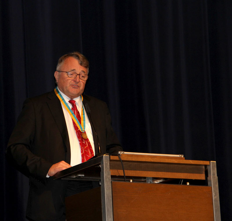
Milan Konečný during his aceptance speech
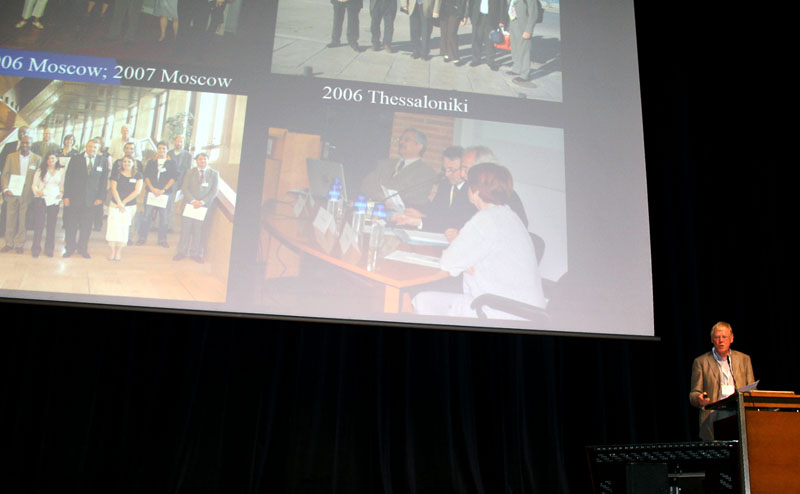
Ferjan Ormeling during the laudatio

Milan Konečný
During ICC 2013 Milan Konečný received the ICA Honorary Fellowship. Below you can read Ferjan Ormeling’s laudatio:
For me, it is both an honour and pleasure to address Milan on this occasion, as his former team mate when he was president . Milan is a self-made man, born in a small town in Eastern Moravia. He was able to study in Brno, and distinguished himself there in such a way that he was asked to participate in polar expeditions to Spitsbergen. He opted for a scientific career and focused on digital cartography.
After his obligatory military service he got a job at the university and there he steadily advanced, also because he set up a lab on geoinformatics and cartography, and this is most important as I guess it enabled him to participate in national and international conferences, and also to participate as officer or board member in national and international scientific associations, where he has a most impressive record. It enabled him to travel widely, I guess he must have spent more than a year of his life in airplanes, and as far as the ICA is concerned, it culminated in his presidency from 2003-2007: Amongst the many things he initiated and achieved there, the most important for ICA were the policy towards the international organizations in the surveying and mapping field that were springing up at the time, such as digital Earth and Global Map (through memoranda of understanding, Milan linked ICA to UN bodies or other scientific organisations like PAIGH) , the increased cooperation with national mapping agencies, which he aimed for, together with Ramon Lorenzo, and the support he gave to cartographers in South and Eastern Europe. Apart from that, all his life he has been strengthening ties and links with cartographers in Siberia, China and Japan.
Just to show his international orientation, I have listed some of the institutions or associations Milan has been involved with – IEAS, Digital Earth, Global Map, GSDI, European initiatives like Inspire, and UN initiatives. As I said, Milan’s specialty has been building bridges to Eastern Europe and Asia, which started already at a time when it was difficult to travel outside the socialist bloc, but later Japan and India were added to his list of preferred destinations.
For all his contributions to the profession Milan was awarded prizes and honorary: from the Brazilian and Spanish cartographic societies, from the Novosibirsk and Sofia universities, he was asked as president of the European Joint Research Centre of the International Eurasian Academy of Sciences, and it is only fitting that he is now awarded a honorary fellowship of the ICA – it has been long due, but we have the rule that this honorary fellowship can only be awarded to people that do not hold office in the board, and this is the first occasion after 16 years of Milan’s membership of the ICA executive committee that he can receive this distinction. There is one more item I want to mention, and that is that we first evaluated the venue where we now have the conference back when Milan was president in 2007, in order to select this venue, and the success of this conference alone justifies this decision to award Milan the honorary fellowhip. Milan, many congratulations!