Welcome to the International Cartographic Association
Welcome to the website of the International Cartographic AssociationGet to know the new ICA Executive Committee for the term 2023-2027
Welcome to the website of the International Cartographic Association
Get to know the new ICA Executive Committee for the term 2023-2027

(Re)watch the first ICA Webinar: Mapping for a Sustainable World

Wednesday July 14, the International Cartographic Association, together with the United Nations, organized its first ever webinar Mapping for a Sustainable World based on the book with the same title just published by the United Nations. The authors, both from the International Cartographic Association and United Nation’s Geospatial Information Section took the 80 participants on a journey along the timeline of the creation of the book and shared their experiences.

The webinar can be (re)watched here:

The webinar aimed at those who want to create and use “SDG maps” to achieve a Sustainable World in the classroom and beyond and are interested in Open Education. It offers guidelines for mapping geographic datasets related to the SDGs at both regional and global scales. Applied examples and open data that can be used in Geography coursework as well as best practices for cartographic design are presented throughout the book and were highlighted during the webinar.

Category: General News

Mapping for a Sustainable World

Dear colleagues,

It is with great pleasure we present you the book “Mapping for a Sustainable World”, a co-publication by the United Nations and the International Cartographic Association. This co-insides with today’s International Day of Education (24 January 2021).

In 2015, the United Nations identified 17 Sustainable Development Goals (henceforth SDGs) in an effort to address, collectively, the most pressing problems facing our world. The SDGs relate to broad social, economic, and environmental challenges, and provide a framework for shared action. Each of the seventeen SDGs has a set of targets and indicators to assist countries towards meeting the goal. To achieve the SDGs, governments and people need to understand each challenge and monitor progress towards alleviating it.

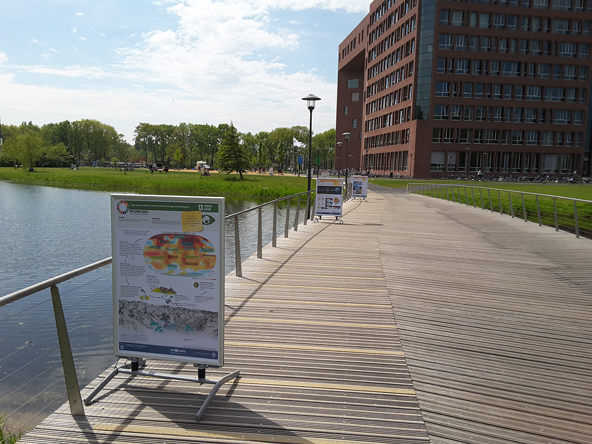
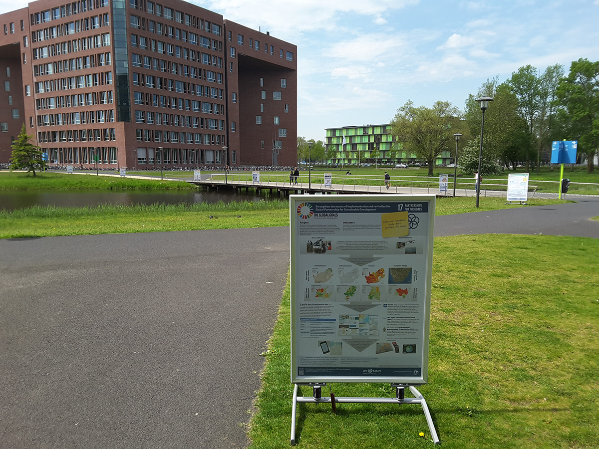
Inspired by this initiative and eager to contribute ICA started a map poster project in 2015. It cumulated in a map exhibition at the United Nations Headquarters in 2016. This book project, executed in together with the Geospatial Information Section of the United Nations, can be considered the follow-up of the map poster project.

Drawing from cartography, the book offers guidelines for mapping geographic datasets related to the SDGs by introducing basic principles of map design and use, discussing established best practices and conventions, and explaining how different mapping techniques support understanding of the SDGs.

The book comprises four sections. Section 1 introduces the SDGs and their relation to geospatial data, describing SDG indicators and data transformations for mapping. Section 2 describes foundational design decisions in the cartographic workflow, including projections, scale, generalization, symbolization, typography, and visual hierarchy, among others. Section 3 introduces the common map types (e.g., choropleths, proportional symbols, dasymetric maps, bivariate maps, cartograms) and diagrams (e.g., bar graphs, scatterplots, timelines) for representing the SDG indicators. Finally, Section 4 discusses considerations for map use environments, such as audiences, user interfaces and interaction operators, mobile and web media, storytelling versus exploration, and open access.

The book has an editorial team comprising writers from the International Cartographic Association (ICA) and the Geospatial Information Section of the United Nations (UN). The book is published as an open access document according to the CC-BY-NC license. When drawing from or reusing text or figures from this book, attribute/cite as follows Kraak MJ, RE Roth, B Ricker, A Kagawa, and G Le Sourd. 2020. Mapping for a Sustainable World. The United Nations: New York, NY (USA). The institutes of the editors (University of Twente / ITC, University of Wisconsin-Madison), and the UW Cartography Laboratory (design and layout), and the United Nations Geospatial Information Section have made the necessary resources available to realize the book.

The pdf-version of the book can be downloaded from the page accessible via the following link https://www.un-ilibrary.org/content/books/9789216040468. A direct DOI link will follow. A printed version is in preparation. At a later stage we plan to also release all data used to create the maps in the book.

Menno-Jan Kraak (ICA)
Robert E. Roth (ICA)
Britta Ricker (ICA)
Ayako Kagawa (UN)
Guillaume Le Sourd (UN)

Category: General News

President’s Blog: Nominations for the upcoming General Assembly

Dear all,

February 15 was the deadline for nominations for EC members, commissions, commission chairs, honorary auditors, and the bid for organising ICC2023. I’m happy to announce that we did receive many nominations and that at our General Assembly during the Tokyo ICC in July our national members will vote on the candidates.

Curious? Follow this link to the nominations.

– Menno-Jan Kraak
President of the International Cartographic Association

Invitation to the Barbara Petchenik Competition 2019

Dear Colleagues,

On behalf of the International Cartographic Association and the Commission on Cartography and Children, it is our pleasure to invite you to participate in the next Barbara Petchenik Map Competition 2019, an event created with the aim of promoting the creative representation of the world in graphic form by children.

The theme for the 2019 competition remains the same one that in 2017: “We love maps”. Entries can be nominated in four age groups: under 6 years, 6–8 years, 9–12 years and 13–15 years. The deadline for the participation in the contest is 1 May 2019. [All details can be found in the rules document.]


We Love Maps by Ioana Larisa Guriţǎ (13)

1st place >12 years, 2017: We Love Maps by Ioana Larisa Guriţǎ (13)


Winner drawings selected at national level will be displayed in the International Exhibition to be held during the 29th International Cartographic Conference in Tokyo, Japan, from 15–20 July 2019. An international jury will select the best entries by each age group. Additionally, there will be a prize issued based on a public vote by the conference participants, as well as a Creativity Award issued by the ICA Commission on Art and Cartography.

For more detailed information about the competition, please visit the Petchenik section on the ICA website, the website of the Commission on Cartography and Children or their Facebook page.


Maps – Our Path for Exploration by Champ Turner (15)

Winner of the public vote 2017: “Maps – Our Path for Exploration” by Champ Turner (15)


If you are interested in using children maps in your context, e.g. with publications, we would like to encourage you to contact us. The map drawings made by children in the previous competitions can be found in the Archive of the Barbara Petchenik Children’s Map Competition, maintained by the Carleton University Library.

ICA assumes we can count on the participation of your country in the competition 2019.

– Menno-Jan Kraak
President of the International Cartographic Association

President’s Blog: New Working group – Cartographic Body of Knowledge (CartoBoK)

Education and Research go hand in hand. Research is necessary to make sure our discipline remains relevant. Education disseminates this new knowledge and trains future generations. Each domain has common or basic knowledge, sometimes typified as a domain’s Body of Knowledge. Wikipedia says: “A body of knowledge (BOK or BoK) is the complete set of concepts, terms and activities that make up a professional domain, as defined by the relevant learned society or professional association”.

In this context ICA sees it as its duty to help educators by defining such BoK for cartography. To do so the Executive Committee has decided to establish a new working group Cartographic Body of Knowledge (CartoBoK), to be chaired by vice-president Lynn Usery, supported by past President Georg Gartner. Both are in the process to add a few more members. The working group will report in Tokyo.

Based on the terms of reference the working group will start with an inventory of existing Bodies of Knowledge (BoKs) from UCGIS, AGILE, NGA/USGS, ACM, and others that have cartographic elements and extract those parts relevant to CartoBoK. The next step will include top down / bottom up process to define an initial set of topics to capture cartographic knowledge and concepts for the CartoBoK. This will be followed by a process to solicit, review, and publish individual contributions to the CartoBoK and to develop a procedure for update and refinement of CartoBoK, beyond the initial delivery so that it becomes a dynamic, living document changing as the discipline of cartography changes. A close link with the ICA research agenda will be maintained. On our website a dedicated page for the working group will be created to keep all of us informed.

– Menno-Jan Kraak
President of the International Cartographic Association

President’s Blog: Season’s Greetings

Dear colleagues and ICA friends,

2017 has been again a successful year for cartography. We had a wonderful 28th International Cartographic Conference in Washington DC (USA). Most Commissions and Working Groups organized many smaller events in conjunction with our main conference. During the conference, we also formally closed the International Map Year, which initiated local events on a global scale. It is obvious that cartography is very much alive!

This is also the moment to thank all of you who have been active for ICA in 2017. All your activities are very much appreciated, especially if we realize that we all do this as volunteers.

2018 promises to be yet another interesting year for ICA. Many (joint) commission activities have already been planned. 2018 will also be the year of our collaborative effort to realize the follow up of our 2016 cartographic poster exhibition on the Sustainable Development Goals (SDG) at the UN headquarter in New York. This will be our book ‘Mapping for sustainability’ which will offer guidelines and best practices for mapping the UN SDG indicators. The book will allow ICA to transfer knowledge and expertise, and organize various training related activities.

With all these plans ahead of us, I would like to wish you all a prosperous and ‘mapable’ 2018.

– Menno-Jan Kraak
President of the International Cartographic Association


The ICA Executive Committee wishes Happy Holidays and a prosperous New Year!

President’s blog: International Map Year presented as highlight at UN-GGIM meeting

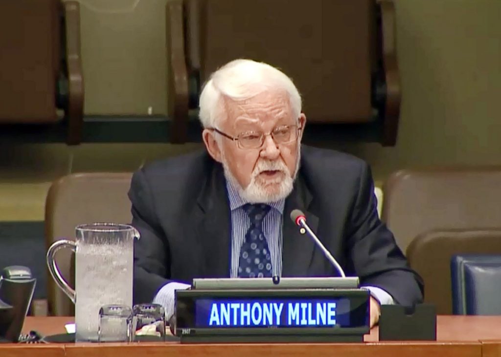
The International Map Year has been mentioned during the 7th UN-GGIM meeting in New York, 2-5 August. Anthony K. Milne, current chair of the UN-GGIM Geospatial Societies (formerly JBGIS), presented highlights of activities and stated the following:

In the year since the Committee of Experts last met, UN-GGIM Geospatial Societies have been very active. I’m pleased to report the following selective highlights: […] The International Cartographic Association ran a very successful campaign on the International Map Year, which was endorsed by the UN-GGIM Geospatial Societies and the UN-GGIM Committee of Experts. This program aimed to make maps more visible to and understood by decision-makers, citizens and school children in the global context.
– Anthony Milne

Anthony K. Milne (IEEE GRSS) talking about the Map Year at the 7th UN-GGIM meeting

– Menno-Jan Kraak
President of the International Cartographic Association

President’s blog: ICA’s external relations

Some of you might be aware that ICA is a member of the Joint Board of Geospatial Information Societies (JBGIS).

It is a coalition of the Presidents, Secretary-Generals or equivalent office bearers or their nominees that lead recognized international organizations involved in the coordination, development, management, standardization or regulation of geospatial information and related matters. Currently there are nine members. The chair is rotating among the societies.

The Joint board has always been our voice toward the UN. The UN-GGIM has now formally recognized us as one of their thematic groups.

The other groups are an academic network and a private sector network. Because of this recognition we have changed our name from JBGIS to UN-GGIM: Geospatial Societies (UN-GGIM GS).

– Menno-Jan Kraak
President of the International Cartographic Association

President’s Blog: Introducing Regional Cartographic Conferences (RCC)

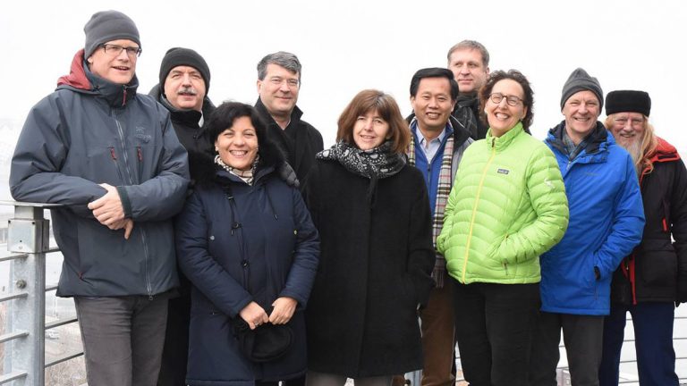
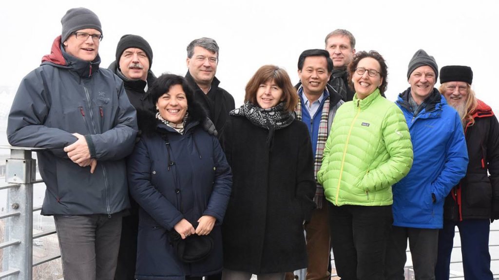
The ICA Executive Committee at its latest meeting in Budapest, Hungary

The ICA Executive Committee at its latest meeting in Budapest, Hungary

Twice a year ICA’s Executive Committee meets to discuss current affairs and strategic issues. Last February we were hosted by the Secretary-General’s university in Budapest.

Current affairs are related to the day-to-day running of ICA. These can include membership, the activities of the commissions and working groups, our website, relations with sister organization, our financial situation, our next ICC, prepare the (Extraordinary) General Assembly, etc.

The strategic issues we discussed are related to more long term issues. These are managed by the vice-presidents and include our organization (is our structure future proof?), our publication policy (can we improve/upgrade/unify the publication created during conferences and commission and working groups activities?), conference policy (how do we organize our meetings?), capacity building (how do we involve industry?), membership (do we need individual membership?), research (how to update and further develop of our research agenda?), our specific relation to other organizations (what can we do for the UN-GGIM?).

In future blogs we will report in more detail about these strategic issues. However, as a result of our deliberation on our conference policy we have decided to start a series of Regional Cartographic Conferences (RCC). The first call for these conferences can be found here.

Our aim is that RCCs will complement ICCs by providing a regional forum for presentation and exchange of new ideas and approaches to cartography and geographic information science through a mixture of keynote, plenary, technical and poster sessions, as well as workshops and map exhibitions.

– Menno-Jan Kraak
President of the International Cartographic Association

rawboned-refined