Welcome to the International Cartographic Association
Welcome to the website of the International Cartographic AssociationGet to know the new ICA Executive Committee for the term 2023-2027
Welcome to the website of the International Cartographic Association
Get to know the new ICA Executive Committee for the term 2023-2027

ICA President’s Blog #1 by Tim Trainor

Dear ICA Colleagues,

I hope that everyone is well and that you are in a safe situation as we experience the reality of the Coronavirus Pandemic. With each day, we see changes in our local circumstances that require us to adjust our daily lives accordingly. For some, they have weathered a difficult time and are seeing some relief from periods of self-quarantining. For others on the other end of the virus spectrum, they may be seeing the first signs of exposure. This could take longer than we prefer as there is much to learn about the effects of the virus, how it can be best treated, and how it can be prevented in the future.

The ICA, like other organizations, has been impacted. Planned events for regional cartographic conferences and ICA Commission workshops and meetings have had to postpone or cancel plans in order to reduce physical contact. While unfortunate, this is a needed response as we observe the situation worsening in some areas.

Like you, I look to maps to help in understanding the impact of the virus on our communities. This is a time for each of us to reflect, as cartographers, what else we could do to have a positive impact on knowledge, understanding, prevention, and resolution of the virus. As scientists explore the cause, effect, and resolution, we stand ready to help communicate their findings through maps and mapping. Let’s share our expertise.

Take care and be safe!

– Tim Trainor
President of the International Cartographic Association

President’s Blog: Nominations for the upcoming General Assembly

Dear all,

February 15 was the deadline for nominations for EC members, commissions, commission chairs, honorary auditors, and the bid for organising ICC2023. I’m happy to announce that we did receive many nominations and that at our General Assembly during the Tokyo ICC in July our national members will vote on the candidates.

Curious? Follow this link to the nominations.

– Menno-Jan Kraak
President of the International Cartographic Association

Invitation to the Barbara Petchenik Competition 2019

Dear Colleagues,

On behalf of the International Cartographic Association and the Commission on Cartography and Children, it is our pleasure to invite you to participate in the next Barbara Petchenik Map Competition 2019, an event created with the aim of promoting the creative representation of the world in graphic form by children.

The theme for the 2019 competition remains the same one that in 2017: “We love maps”. Entries can be nominated in four age groups: under 6 years, 6–8 years, 9–12 years and 13–15 years. The deadline for the participation in the contest is 1 May 2019. [All details can be found in the rules document.]


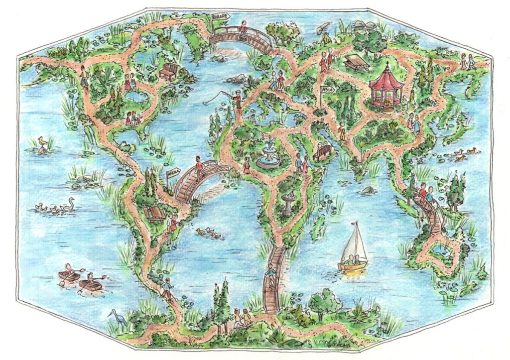
We Love Maps by Ioana Larisa Guriţǎ (13)

1st place >12 years, 2017: We Love Maps by Ioana Larisa Guriţǎ (13)


Winner drawings selected at national level will be displayed in the International Exhibition to be held during the 29th International Cartographic Conference in Tokyo, Japan, from 15–20 July 2019. An international jury will select the best entries by each age group. Additionally, there will be a prize issued based on a public vote by the conference participants, as well as a Creativity Award issued by the ICA Commission on Art and Cartography.

For more detailed information about the competition, please visit the Petchenik section on the ICA website, the website of the Commission on Cartography and Children or their Facebook page.


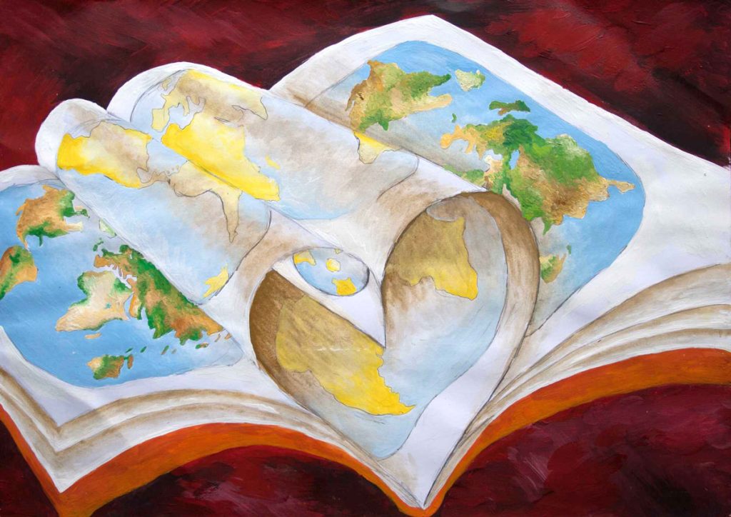
Maps – Our Path for Exploration by Champ Turner (15)

Winner of the public vote 2017: “Maps – Our Path for Exploration” by Champ Turner (15)


If you are interested in using children maps in your context, e.g. with publications, we would like to encourage you to contact us. The map drawings made by children in the previous competitions can be found in the Archive of the Barbara Petchenik Children’s Map Competition, maintained by the Carleton University Library.

ICA assumes we can count on the participation of your country in the competition 2019.

– Menno-Jan Kraak
President of the International Cartographic Association
President’s Blog: New Working group – Cartographic Body of Knowledge (CartoBoK)

Education and Research go hand in hand. Research is necessary to make sure our discipline remains relevant. Education disseminates this new knowledge and trains future generations. Each domain has common or basic knowledge, sometimes typified as a domain’s Body of Knowledge. Wikipedia says: “A body of knowledge (BOK or BoK) is the complete set of concepts, terms and activities that make up a professional domain, as defined by the relevant learned society or professional association”.

In this context ICA sees it as its duty to help educators by defining such BoK for cartography. To do so the Executive Committee has decided to establish a new working group Cartographic Body of Knowledge (CartoBoK), to be chaired by vice-president Lynn Usery, supported by past President Georg Gartner. Both are in the process to add a few more members. The working group will report in Tokyo.

Based on the terms of reference the working group will start with an inventory of existing Bodies of Knowledge (BoKs) from UCGIS, AGILE, NGA/USGS, ACM, and others that have cartographic elements and extract those parts relevant to CartoBoK. The next step will include top down / bottom up process to define an initial set of topics to capture cartographic knowledge and concepts for the CartoBoK. This will be followed by a process to solicit, review, and publish individual contributions to the CartoBoK and to develop a procedure for update and refinement of CartoBoK, beyond the initial delivery so that it becomes a dynamic, living document changing as the discipline of cartography changes. A close link with the ICA research agenda will be maintained. On our website a dedicated page for the working group will be created to keep all of us informed.

– Menno-Jan Kraak
President of the International Cartographic Association
President’s Blog: Season’s Greetings

Dear colleagues and ICA friends,

2017 has been again a successful year for cartography. We had a wonderful 28th International Cartographic Conference in Washington DC (USA). Most Commissions and Working Groups organized many smaller events in conjunction with our main conference. During the conference, we also formally closed the International Map Year, which initiated local events on a global scale. It is obvious that cartography is very much alive!

This is also the moment to thank all of you who have been active for ICA in 2017. All your activities are very much appreciated, especially if we realize that we all do this as volunteers.

2018 promises to be yet another interesting year for ICA. Many (joint) commission activities have already been planned. 2018 will also be the year of our collaborative effort to realize the follow up of our 2016 cartographic poster exhibition on the Sustainable Development Goals (SDG) at the UN headquarter in New York. This will be our book ‘Mapping for sustainability’ which will offer guidelines and best practices for mapping the UN SDG indicators. The book will allow ICA to transfer knowledge and expertise, and organize various training related activities.

With all these plans ahead of us, I would like to wish you all a prosperous and ‘mapable’ 2018.

– Menno-Jan Kraak
President of the International Cartographic Association
 

The ICA Executive Committee wishes Happy Holidays and a prosperous New Year!

President’s blog: International Map Year presented as highlight at UN-GGIM meeting

The International Map Year has been mentioned during the 7th UN-GGIM meeting in New York, 2-5 August. Anthony K. Milne, current chair of the UN-GGIM Geospatial Societies (formerly JBGIS), presented highlights of activities and stated the following:

In the year since the Committee of Experts last met, UN-GGIM Geospatial Societies have been very active. I’m pleased to report the following selective highlights: […] The International Cartographic Association ran a very successful campaign on the International Map Year, which was endorsed by the UN-GGIM Geospatial Societies and the UN-GGIM Committee of Experts. This program aimed to make maps more visible to and understood by decision-makers, citizens and school children in the global context.
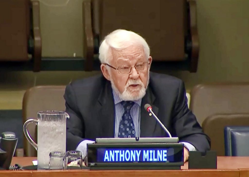
– Anthony Milne

Anthony K. Milne (IEEE GRSS) talking about the Map Year at the 7th UN-GGIM meeting

– Menno-Jan Kraak
President of the International Cartographic Association
President’s blog: ICA’s external relations

Some of you might be aware that ICA is a member of the Joint Board of Geospatial Information Societies (JBGIS).

It is a coalition of the Presidents, Secretary-Generals or equivalent office bearers or their nominees that lead recognized international organizations involved in the coordination, development, management, standardization or regulation of geospatial information and related matters. Currently there are nine members. The chair is rotating among the societies.

The Joint board has always been our voice toward the UN. The UN-GGIM has now formally recognized us as one of their thematic groups.

The other groups are an academic network and a private sector network. Because of this recognition we have changed our name from JBGIS to UN-GGIM: Geospatial Societies (UN-GGIM GS).

– Menno-Jan Kraak
President of the International Cartographic Association
President’s blog: Revised ICA posters on “Maps and Sustainable Development Goals”

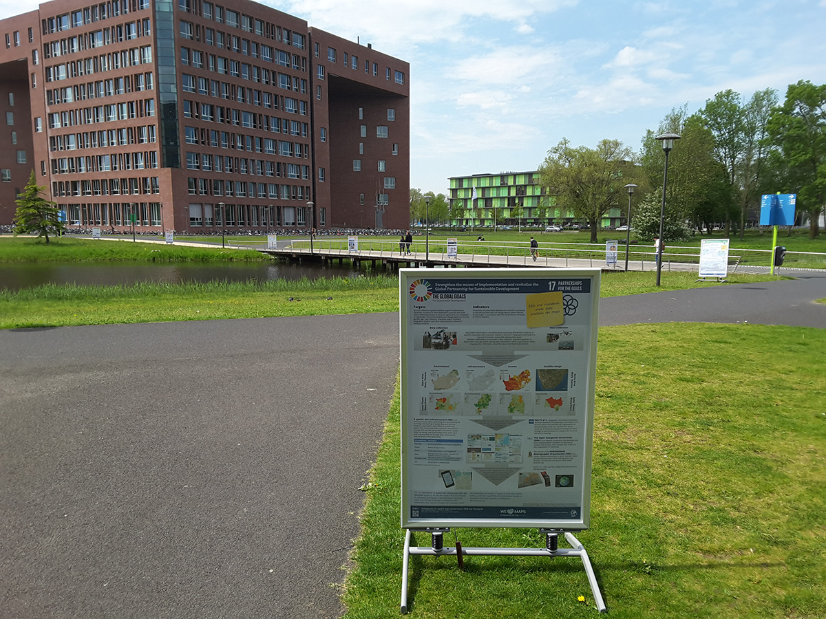
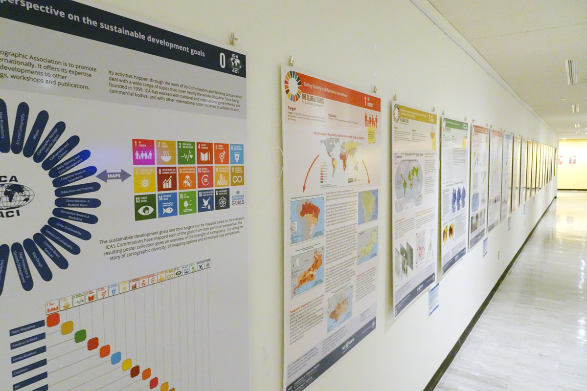
Last August the posters created by ICA’s Commissions on the Sustainable Development Goals were on exhibit in the conferences area in United Nations Headquarters in New York. During the exhibition, we did get many comments. Most were positive, but also critical remarks were made. This prompted an additional internal peer review by our Commission chairs and the Executive Committee members, resulting in a long list of potential improvements. They were related to language, the base map (boundaries), content, cartographic representations and graphic quality. These have now all been processed.

The ICA posters as presented in the conferences area in United Nations Headquarters in New York

The ICA posters as presented in the conferences area in United Nations Headquarters in New York


As one can imagine, the boundary problem was most sensitive at the UN. It proved difficult to follow the UN guidelines, and therefore we have included the following disclaimer on all posters: Boundaries on maps may seem definitive, but there are often different perspectives on their status and position. This poster series is compiled from many sources by cartographers from different countries. The ICA tries to be neutral in such matters and boundaries shown reflect those found on the ground, in existing maps, or recognized by the United Nations. The ICA acknowledges that there may be different opinions and interpretations.

The revised posters as well as the newly design catalog for the poster exhibition can be found on icaci.org/maps-and-sustainable-development-goals.

Let’s make the world a better place with maps!

– Menno-Jan Kraak
President of the International Cartographic Association
President’s Blog: Introducing Regional Cartographic Conferences (RCC)

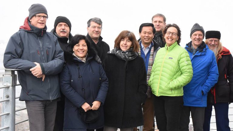
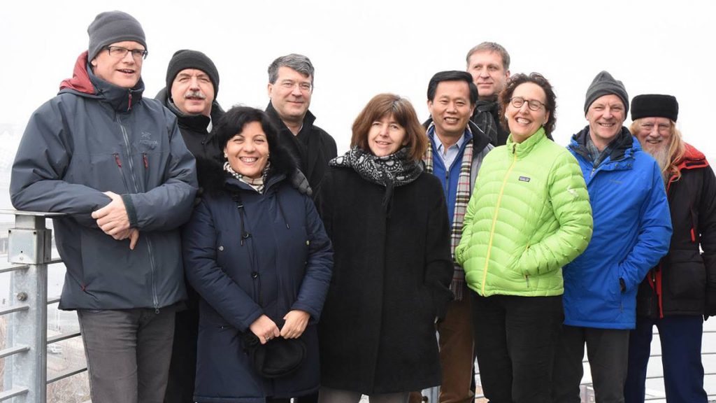
The ICA Executive Committee at its latest meeting in Budapest, Hungary

The ICA Executive Committee at its latest meeting in Budapest, Hungary

Twice a year ICA’s Executive Committee meets to discuss current affairs and strategic issues. Last February we were hosted by the Secretary-General’s university in Budapest.

Current affairs are related to the day-to-day running of ICA. These can include membership, the activities of the commissions and working groups, our website, relations with sister organization, our financial situation, our next ICC, prepare the (Extraordinary) General Assembly, etc.

The strategic issues we discussed are related to more long term issues. These are managed by the vice-presidents and include our organization (is our structure future proof?), our publication policy (can we improve/upgrade/unify the publication created during conferences and commission and working groups activities?), conference policy (how do we organize our meetings?), capacity building (how do we involve industry?), membership (do we need individual membership?), research (how to update and further develop of our research agenda?), our specific relation to other organizations (what can we do for the UN-GGIM?).

In future blogs we will report in more detail about these strategic issues. However, as a result of our deliberation on our conference policy we have decided to start a series of Regional Cartographic Conferences (RCC). The first call for these conferences can be found here.

Our aim is that RCCs will complement ICCs by providing a regional forum for presentation and exchange of new ideas and approaches to cartography and geographic information science through a mixture of keynote, plenary, technical and poster sessions, as well as workshops and map exhibitions.

– Menno-Jan Kraak
President of the International Cartographic Association
rawboned-refined