


At the 25th International Cartography Conference in Paris, France, the map “Bhutan” won the first jury’s prize in the category Maps based on Satellite Images and Remote Sensing. The jury stated:
Production based on free satellite data, combined with GPS tracks.


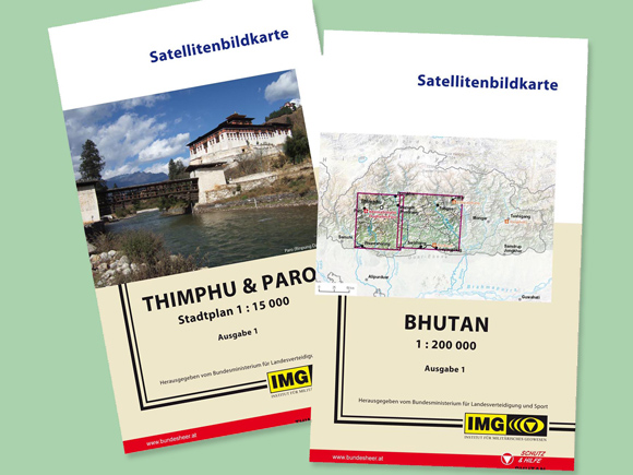
Publisher’s Description: This double-sided map on the basis of free satellite images shows the central region of Bhutan. Specifically captured GPS-tracks verify main routes and selected infrastructure facilities. The map was created as a supplement for the “Military Regional Fact Sheet: Bhutan” which intends to help planning Civil-Military Co-Operation (CIMIC) projects. This publication is not available commercially.
- Paper
- Dimensions (mm): 490x490
- Scale: 1:200,000
- Authors: Institute of Military Geography
- Published by Ministry of Defence
- Date published: 04/2011
- Languages: German, English
- Bundesheer (German only)
