At the
25th International Cartography Conference in Paris, France, the wall map “South America” won the first jury’s prize in the category
Educational Cartographic Resources. The jury stated:
Effectively designed wall map.
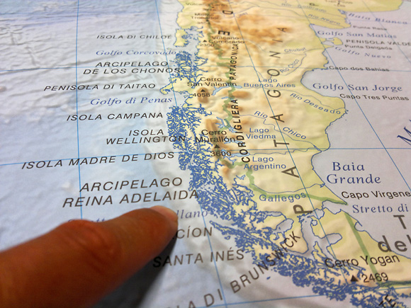
Publisher’s Description: The map of South America is a classic wall map for school classrooms. It has been planned, designed and printed by the LAC (Litografia Artistica Cartografica) staff, with exclusively digital tools.The map is two-faced, political on one side and physical on the other. The details presented on the map have been carefully selected in order to supply the right quantity of information, compromising neither visual clarity nor completeness of data. The design of the map has naturally implied a certain degree of generalization. Particular attention has been paid to the hillshading of the physical map as well as to the colouring of heights, so as to produce vivid idea of geomorphology of both land and seafloor.The map of South America belongs to the educational cartographic section of the LAC catalogue, which currently appears as one of the most exhaustive catalogues among the national cartographic productions.
- Scale: 1:8,000,000
- Dimensions (mm): 900 x 135
- Authors: Litografia Artistica Cartografica, Firenze
- Published by Litografia Artistica Cartografica, Firenze
- Date published: 01/2010
- Category: Educational cartographic resources on paper medium - secondary school
- Languages: original language of the represented nations
More information: