


At the 25th International Cartography Conference in Paris, France, the map “452 Oslo Havn” won the first jury’s prize in the category Hydrographic or Maritime Navigation Charts. The jury stated:
Innovative design of the land, without overshadowing the main topic.

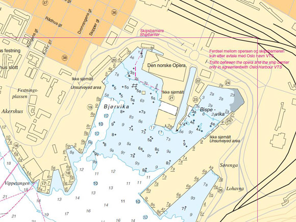
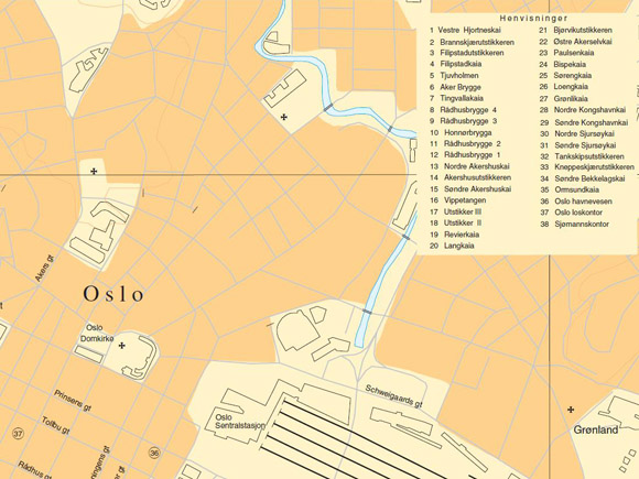
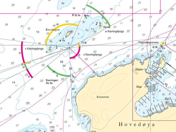
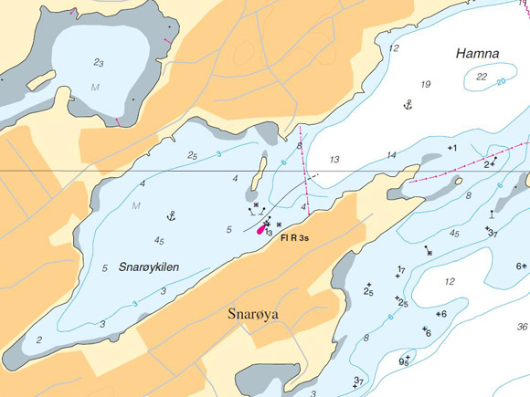
Publisher’s Description: The “452 Oslo Havn” is one of 45 harbour charts presented in the Harbour Chart Series of the Norwegian Hydrographic Service (NHS). The chart represents the harbour of the Norwegian capital Oslo. In order to give the user a good picture of the harbor and its surroundings, important land information such as selected buildings, roads and railroads are added. For optimal use of this chart, pilot sketches in a larger scale are extracted from this chart and presented in “Den Norske Los 2A”. The pilot sketch areas are highlighted in red.
- Size (cm): 945 x 742
- Scale: 1:10 000
- Publisher: The Norwegian Hydrographic Service
- Editor: The Norwegian Hydrographic Service
- Date of publication: 02/2011
- Language: Norwegian

2 Responses