Welcome to the International Cartographic Association
Welcome to the website of the International Cartographic AssociationGet to know the new ICA Executive Committee for the term 2023-2027
Welcome to the website of the International Cartographic Association
Get to know the new ICA Executive Committee for the term 2023-2027

Congress of Cartographic Science successfully held as virtual congress

The 10th Congress of Cartographic Science “The challenge of cartography as an element of territorial management” planned to take place in Resistencia, Argentina, was held as the 1st Virtual International Congress on 4–6 November 2020.

This event, which is biannual in nature, was organized by the Argentine Center of Cartography and the Faculty of Humanities of the National University of the Northeast of the Argentine Republic and its main objective was to contribute to the dissemination of activities, projects and research related to knowledge and cartographic work based on geographic information of a different nature due to its objectives, capture scale and recipients.

Throughout its three long days, the work has been very intense due to the amount and diversity of activities: conferences, scientific papers, technical exhibitions, virtual cafes, posters, awards, etc.
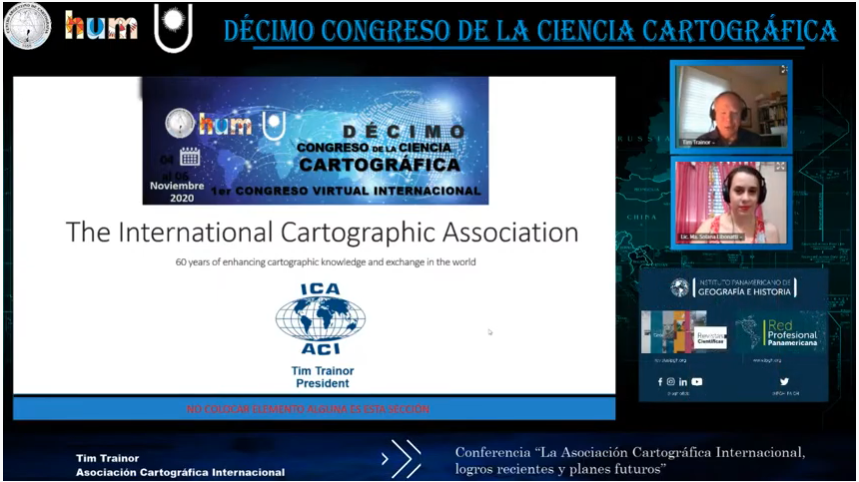
The congress summoned a total of 622 attendees, of which 261 were students and 183 guests. They were connected to the virtual transmission through the YouTube channel, with an average of 200 participants per day, from the 23 Argentine provinces and 14 countries: Brazil, Bolivia, Chile, Colombia, Costa Rica, Ecuador, Guatemala, Paraguay, Peru, Uruguay, Mexico, Spain, Hungary and the United States.

The transmissions were made live from the city of Resistencia in the province of Chaco, and were broadcast on the YouTube channel of the Congress of Cartographic Science, where they were recorded for public viewing. This meant a total of 33 hours of live transmission, and more than 5,900 reproductions of the 3 days on the YouTube channel so far.

Simultaneously, 6 Virtual Cafes were held with topics such as: Teacher Education and Training, Collaborative Cartography, Fires, Land Cover and Use, Geographical Names, and Climate Change. An average of 20 participants accessed them, and a total of about 100 people got in touch by this means.

For more information visit https://centrodecartografia.wixsite.com/10ccc/resultadofinal

Category: Member News

President’s Blog: New members

I am happy to announce two new members of ICA.

Trinidad & Tobago has decided to join ICA as national member. The Ministry of Land and Marine Resources Division on Survey and Mapping based in El Soccoro, Trinidad and Tobago has the mission on “contributing to the development and economic success of Trinidad and Tobago by adopting new technologies and by providing up-to-date and authoritative maps, charts, land and sea information, in conventional paper and progressively in digital form to meet the needs of the government, the general public and the private sector” and felt that a full national membership with ICA will be a benefit for being able to follow this mission up.

My specific thank goes to Mrs. Paula Drakes from the Land Settlement Agency of the Ministry of Land and Marine Resources of Trinidad and Tobago. She has participated in the successful ICA Workshop on OpenSource Technologies and WebMapping early in the year 2014 at Sint-Maarten and has since then followed the idea of full cooperation up.

A heartly welcome to Trindidad & Tobago!

HERE Europe B.V. has decided to join ICA as affiliate member! HERE belonged to Nokia and was recently sold to a consortium of Audi, BMW, and Daimler. HERE considers itself a global leader in the mapping and location intelligence business. Rooted in almost three decades of experience in cartography, their vision is to offer the world’s best maps and location experiences across multiple screens and operating systems. HERE is working on the idea, that giving people a better and deeper sense of location will be essential to live a modern urbanized life. Map products of HERE can be found in the majority of current navigation systems as well as in mobile, web and enterprise solutions of companies like BMW, Garmin, Toyota, Yahoo and many more.

It is for sure a win-win situation, if such a big and strong mapping company, aiming for producing the “world’s best maps”, and the international network of the International Cartographic Association meet and work together.

My specific thanks goes to Mrs. Astrid Dawson from HERE. She has participated at the ICC 2009 in Santiago de Chile and since then stayed in close contact with ICA, although she was promoted with Nokia and later HERE to responsible positions.

President’s Blog: Affiliate Members

ICA is proud of having a number of affiliate members. Affiliate membership can be granted to organizations, institutions or companies wishing to support the mission and activities of the International Cartographic Association.

Affiliate members are contributing to the work of ICA in many ways. They participate in commission and working group activities, they participate and exhibit in International Cartographic Conferences, they sponsor and contribute to conferences, workshops, symposia and publications, and they are, first of all,
partners in disseminating information about the importance and progress in cartography.

Given the fact that I have personally found discussions and contributions of the ICA affiliate members often very rewarding I feel obliged to use this first blog entry of 2013 to highlight the importance and role of the ICA affiliate members by thanking them for their ongoing commitment and name all of them here:

ESRI
Intergraph
Ordnance Survey
East View
Ekograf
PPWK
SuperMap
UN Cartographic Section
Wuda Geoinformatics
Bundesamt für Kartographie & Geodäsie
Dubai Municipality
Geospatial Information Authority of Japan
Instituto Geográfico Nacional España
Institut Géographique National
Institut Cartografic de Catalunya
National Hydrographic Office
National Land Survey of Finland
Union of Chambers of Turkish Engineers and Architects, Chamber of Surveying and Cadastre Engineers
United States Geological Survey
Association of Polish Cartographers
Centro Argentino de Cartografía
Chinese Cartographic Association (Chinese Taipei)
Indian National Cartographic Association
Land Information New Zealand
Faculty of Geo-Information Science and Earth Observation (ITC)
Faculty of Information Engineering, Wuhan
Moscow State University of Geodesy and Cartography
Regional Centre for Mapping of Resources for Development
Rectas
University of Architecture, Civil Engineering and Geodesy, Bulgaria
University of Balamand

Chief Cartographer vacancy with the Ordnance Survey

This is a vacancy by our affiliate member Ordnance Survey:

Ordnance Survey logoChief Cartographer
£43–£51k, Southampton

This is your chance to lead a specialist team in maintaining and developing the world-class standard of cartography for which Ordnance Survey is internationally recognised and to champion the importance of cartography on behalf of Ordnance Survey globally. As part of this high profile and prestigious role you will be responsible for all of the cartographic style that creates Ordnance Survey’s world renowned mapping data, which is relied on by government, businesses and individuals across Great Britain. Continue reading

Category: Member News
rawboned-refined