Welcome to the International Cartographic Association
Welcome to the website of the International Cartographic AssociationGet to know the new ICA Executive Committee for the term 2023-2027
Welcome to the website of the International Cartographic Association
Get to know the new ICA Executive Committee for the term 2023-2027

President’s Blog: A year full of opportunities

The year 2024 is full of opportunities for Cartography and ICA.

In the advent of artificial intelligence and more and more digitalization in all parts of our lives and societies the functions of maps as instruments which bring some kind of order to complex phenomena, which help us to gain spatial awareness, to understand and attract attention, to provide illustrative information intuitively and to provide trustworthy information is eventually more important than ever.

The International Cartographic Association (ICA) is therefore seeking on pro-actively fostering research, education and exchange in the domain of Cartography and GIScience through all its channels, such as the commissions, publication instruments or conferences.

For the later, 2024 brings a number of excellent opportunities to meet, exchange ideas, pre-sent new insights and maps and learn from scholars. You can check out the ICA commissions to participate in one of the commission activities in person.

ICA has taken patronage or expressed endorsement for the following events:


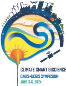
CAGIS + UCGIS Symposium 2024

Jun 3–Jun 6 2024, Columbus (USA)
cartogis.org/conferences/cagis2024/

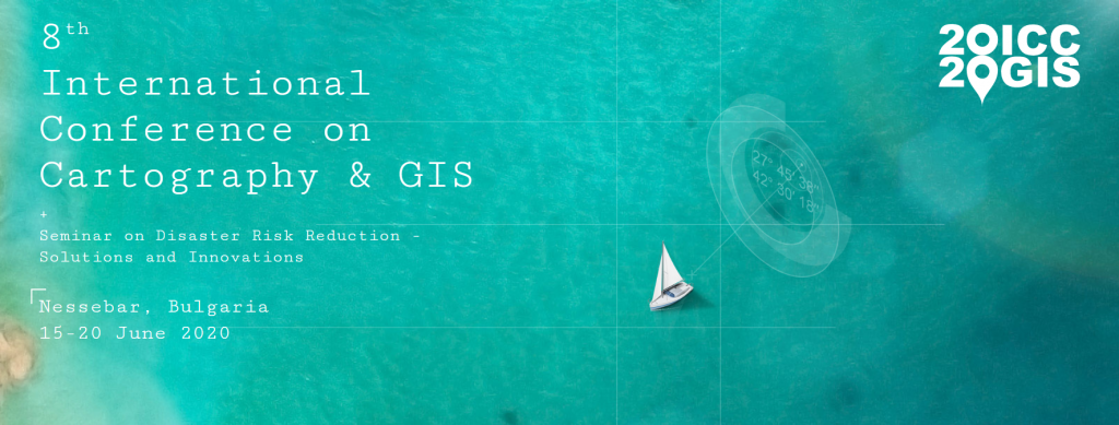
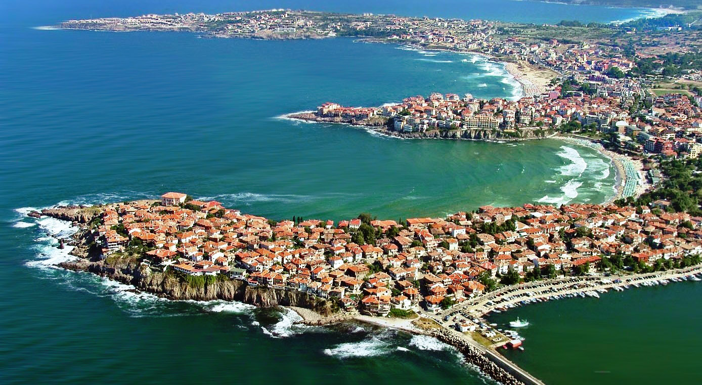
9th International Conference on
Cartography and GIS
Jun 16–Jun 21 2024, Nessebar (Bulgaria)
iccgis2024.cartography-gis.com

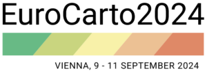
Regional Cartographic Conference EuroCarto 2024
Sep 9–Sep 11, Vienna (Austria)
eurocarto2024.org


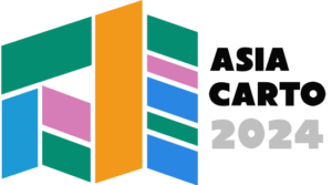
Regional Cartographic Conference AsiaCarto 2024
Dec 8–Dec 10, HongKong (China)
asiacarto.org/2024/

All of those conferences have their Call for Submission currently open and allow excellent opportunities to network, learn, exchange and simply advance our discipline further.

I am looking forward to meeting you there!
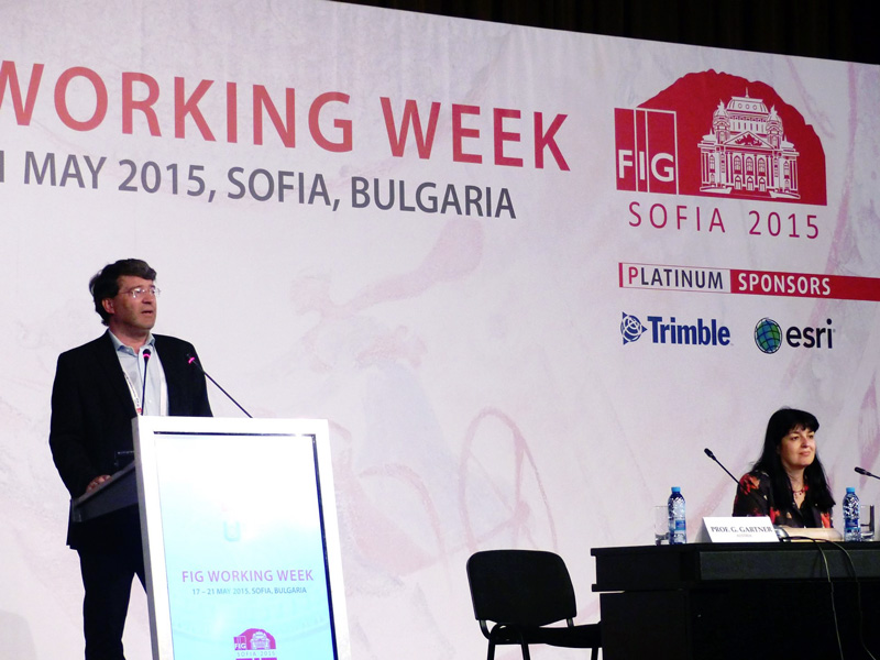
Georg Gartner

News of the ICA Commission on Cartography for Early Warning and Crisis Management

In the 8th International Conference on Cartography and GIS, June 20-25th June 2022, in Nessebar, Bulgaria, commission members of the ICA Commission on Cartography for Early Warning and Crisis Management participated in four activities.

In the first keynote of the conference, Prof. Milan Konecny replaced president Timothy Trainor by his keynote speech titled: The United Nations Challenges for SDGs and Sendai Framework: The Role of Cartographers, where U.N. efforts, including Sendai Framework and GGIM and DBAR activities have been strongly highlighted (June 21).

Seminar on Disaster Risk Reduction – Solutions and Innovations organized in cooperation with ICA Commission on Cartgraphy in Early Warning and Crisis Management and Department of Geography, Masaryk University, Brno, Czech Republic was based on physical and video presentations (June 21). The seminar began with a keynote by commission vice-chai Milan Konecny (with co-authors Temenoujka Bandrova (Bulgaria), Petr Kubíček, Zdeněk Stachoň, Radim Štampach (Czech Republic). Jie Shen (China), Irina Rotanova (Russian Federation), Jan Brodský and Pavel Špulák (both Czech Republic), titled: Strategies of Disaster Risk Reduction on the Background of U.N. GGIM and Digital Belt And Road Efforts. Keynote was followed by other papers: Krzysztof Pokonieczny (Poland): Methodology of Developing The Dynamic Maps of Passability, Milaim Sylka (Kosovo (video presentation), Pavel Špulák, Bohuslav Ježek and Zdeněk Červenka (Czech Republic): GIS, Big Data and Mapping in Disaster Management Charts and Maps for Statistical Yearbooks of Fire and Rescue Service of the Czech Republic, Ekaterina Podolskaia, Anastasia Nekrasova, Tatiana Prokhorova, Aleksey Trubenkov and Olga Selyutskaya (Russian Federation): Web-Gis Projects at the Institute of Earthquake Prediction Theory and Mathematical Geophysics, Russian Academy of Sciences (video presentation).

Topics of the seminar were:

  • DRR U.N. Sendai Agenda: Challenges for Cartography and Geoinformatics
  • Cartographic Support for Emergency Evacuation
  • Virtual Reality and Disaster Preparedness
  • VGI Possibilities in DRR
  • Threats Caused by Agricultural Operations

Around 20-25 people particiated in the meeting of the Commission On Cartography on Early Warning and Crisis Management on June 22. They were explained the areas that the commission deals with, especially with regard to the initiatives of the Sendai Framework, but with an emphasis on the scientific and applied development of cartography. The meeting was also attended by ICA vice-president Prof. T. Bandrova, ISDE president Dr. A. Annoni, chairmen of other ICA commissions associate professors O. Čerba, or Jesus Reyes, ESRI representative Dr. N. Land and many others. The discussion results in a recommendation to create a publication on the role of cartography in DRR supplemented by representative outputs promoting cartography itself, unifying terminology or analyzing the potential of cartography in solving a selected disaster.

Tag:

Invitation to the 8th International Conference on Cartography & GIS

Update: Due to the developments regarding Covid-19 pandemic and the continued uncertainty around it the organizers of the 8th International Conference on Cartography and GIS have made the decision to further postpone the event to 20-25 June 2022. Details can be found on iccgis2020.cartography-gis.com.

The ICCGIS is a biannual conference that started in 2006 and since then it welcomes scientists from all over the world to its very successful and fruitful events in 2006, 2008, 2010, 2012, 2014, 2016 and 2018. For those 12 years of experience, the conference had attendees from more than 60 countries and has published more than 600 scientific papers in its proceedings.

The ICC & GIS conference is organized by the International Cartographic Association, the Bulgarian Cartographic Association and the University of Architecture, Civil Engineering and Geodesy.

The Call for Papers and further information can be found on iccgis2020.cartography-gis.com.

Category: Member News
Tag: ,

Invitation to the 7th International Conference on Cartography & GIS

7th International Conference on Cartography & GIS

7th International Conference on Cartography & GIS and the Seminar with EU cooperation on Early Warning and Disaster Management will be held during 18–23 June 2018 in Sozopol, Bulgaria. A special session “Digital Earth for Smart Solutions” supported by the International Society for Digital Earth will be part of the conference.

The event will be held during the Bulgarian Presidency of the Council of the EU, 2018.

Please find all details and important dates on the conference website: iccgis2018.cartography-gis.com

 
Welcome to Sozopol, Bulgaria

Tag:

Invitation to the 6th International Conference on Cartography & GIS

iccgis2016_Banner_620x350px_RGB

6th International Conference on Cartography & GIS
& Seminar with EU cooperation on Early Warning and Disaster/Crisis Management

Albena, Bulgaria, 13–17 June 2016

After very successful events in 2006, 2008, 2010, 2012 and 2014, the 6th edition of the International Conference on Cartography and GIS (ICC & GIS) is organized in Bulgaria.

The aim of the conference is to collect knowledge and share experience about the latest achievements in the field of cartography and GIS. Particular attention is paid to the important European region – the Balkan Peninsula. Last conferences were very influential for public administrations and we would like to enhance this trend also in 2016, when the situation in Europe and especially in Balkan countries is very complicated, e.g. facing the immigrant crises could be improved with support of our technologies.

The ICC & GIS conference is organized by the International Cartographic Association (ICA), the Bulgarian Cartographic Association and the University of Architecture, Civil Engineering and Geodesy, Sofia, Bulgaria.

As a part of the conference several other events will be held during 13–17 June:

Deadlines

  • Deadline for abstract submission: 10 January 2016
  • Payment of early registration fee: 29 January 2016
  • Final full paper submission and payment of regular registration fee: 1 May 2016

Proceedings will be registered in SCOPUS and Web of Science.

Conference website

The Call for Papers can be found on iccgis2016.cartography-gis.com, including information on registration, programme and accommodation.

Proceed to the conference website

Tag: ,

Review of ICA activities in the FIG Working Week, Bulgaria

FIG Working Week 2015 was held with 1.000 participants from 68 countries from 17–21 May 2015 in Sofia. ICA was very visible at the event. President Prof. Georg Garter gave a keynote speech in the plenary session entitled “Modern Cartography”. The conference also included an ICA session and a Cartographic Exhibition of Wall Maps – held in celebration of International Map Year.

Georg Gartner (ICA president), Temenoujka Bandrova (president of the Bulgarian Cartographic Association)

Georg Gartner and Temenoujka Bandrova

In the ICA session, ICA President Prof. Georg Gartner, Past-President and Commission Chair Prof. Milan Konecny, Commission Chair Prof. Philippe de Mayer, Prof. Bashkim Irdisi and members of the Bulgarian Cartographic Association (BCA) presented their last cartographic achievements. All papers and presentations can be found on fig.net.

The Cartographic Exhibition of Wall Maps at FIG Working Week

The Cartographic Exhibition of Wall Maps at FIG Working Week

One of the most popular places in the National Palace of Culture during FIG Week was the Cartographic Exhibition of Wall Maps. Many participants were delighted to see such an exhibition and congratulated ICA and the Bulgarian Cartographic Association for the organization.

IMY-bulgaria_exhibition2
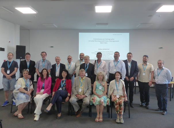
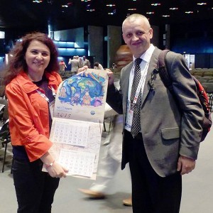
Four countries (Croatia, Macedonia, Kosovo and Bulgaria) participated and were represented by the following companies and organizations:

The exhibitors received certificates for the participation and a special IMY calendar produced by the Bulgarian Cartographic Association and the Military Geographic Service.

More photos and information are available on the Facebook page of the Bulgarian Cartographic Association.

– Prof. Temenoujka Bandrova
President, Bulgarian Cartographic Association

Category: Member News

President’s Blog: Disaster management and cartography

Evacuation of Participants of the 5th Jubilee International Conference on Cartography and GIS with helicopters throught to flash floods in the region of Varna in June 2014

Evacuation of Participants of the 5th Jubilee International Conference on Cartography and GIS with helicopters throught to flash floods in the region of Varna in June 2014

The 5th Jubilee International Conference on Cartography and GIS (ICCGIS) together with EU Seminar on Early Warning and Crises management was held on June 15–20, 2014 in Riviera, Varna, Bulgaria. The successful conference was attended by 170 specialists from 42 countries around the world and was professionally organised by Prof Temenoujka Bandrova and her team once again.

The ICA Commission on Cartography in Early Warning and Disaster Management, chaired by Prof Milan Konecny, has contributed in the past to publications such as the UN-OOSA and JBGIS publication on “Geoinformation for Disaster and Risk Management”, demonstrating the strong need and demand for profound expertise in such contexts.

It happens to be, that the Conference demonstrated this connection unexpectedly. During the Gala dinner, which was organised in a typical Bulgarian restaurant, strong flash floods struck the region. The floods blocked several cities (in Varna city 12 people lost their lives). The only access to the road back to Riviera was closed due to rise in rivers’ water levels. Unexpectedly, participants had to spend the night in the manor without their personal belongings and medicines and with limited food reserves. Emergency services in Bulgaria and various embassies and medical centres were immediately contacted. Finally, with the help of the Military Geographic Service of Bulgaria all participants were evacuated via helicopters and returned safely back to their hotels.

This real life experience demonstrated, that the topic of “Disaster Management and Cartography” can’t be underestimated in its relevance to all of us.

Tag:
rawboned-refined