Welcome to the International Cartographic Association
Welcome to the website of the International Cartographic AssociationGet to know the new ICA Executive Committee for the term 2023-2027
Welcome to the website of the International Cartographic Association
Get to know the new ICA Executive Committee for the term 2023-2027

Invitation to the 18th International Conference on Geoinformation and Cartography

The Croatian Cartographic Society and the Faculty of Geodesy of the University of Zagreb are inviting you to the 18th International Conference on Geoinformation and Cartography on September 14-15, 2022, in Selce, Croatia. Due to the uncertainty of the pandemic, the organizers made it possible to also participate in the conference online. The conference is endorsed by ICA.

The organizers wish to contribute to the development of geoinformatics, cartography, geodesy, geography and associated fields with special emphasis on new achievements. A wide range of themes will be offered, and renowned invited lecturers guarantee interesting lectures and a contemporary approach.

Please, consider the possibility to participate.

Detailled information and registration can be found on www.kartografija.hr

Category: Member News

Honorary Fellowship for Miljenko Lapaine

During ICC 2019, Miljenko Lapaine received the ICA Honorary Fellowship. Below you can read Lynn Usery‘s laudation:

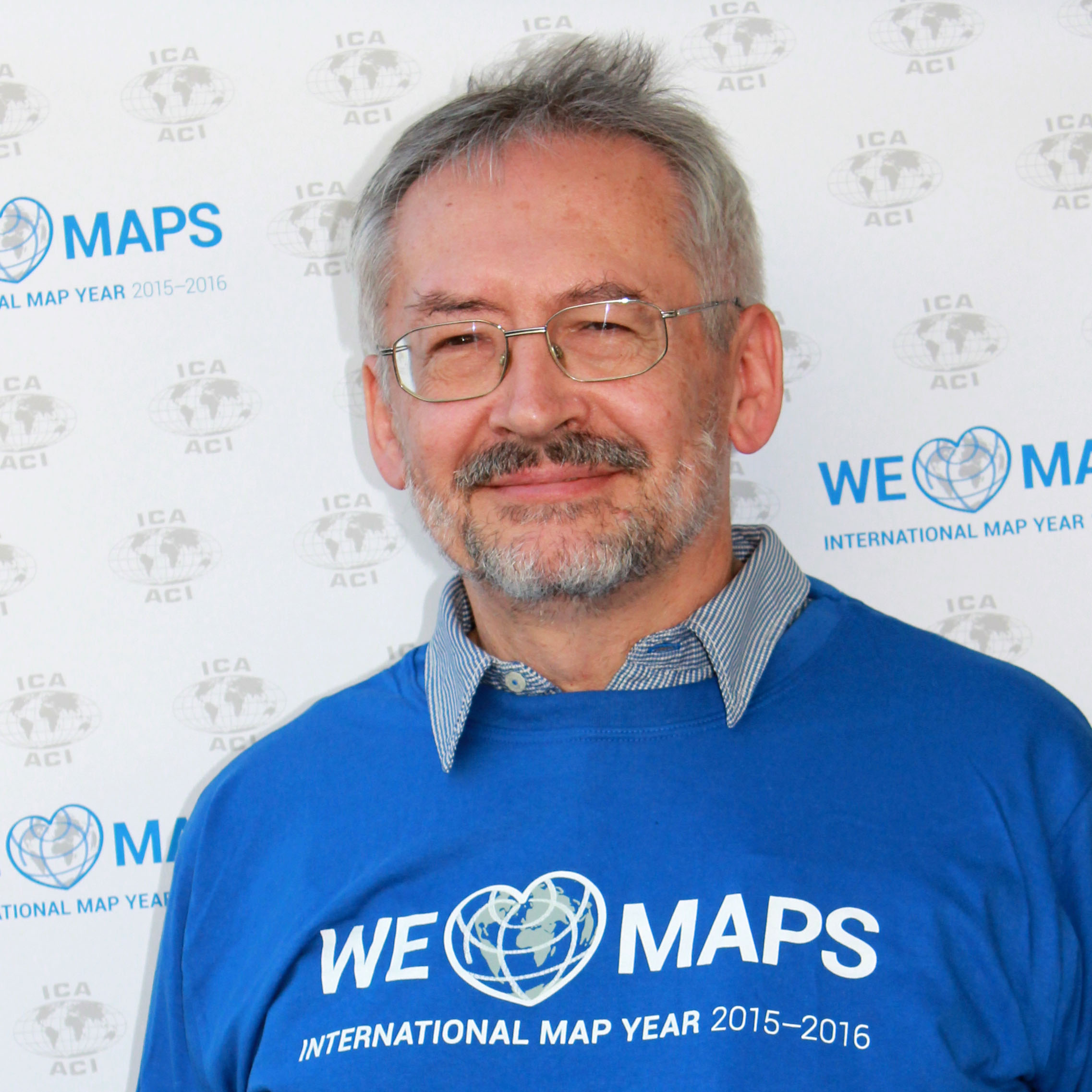
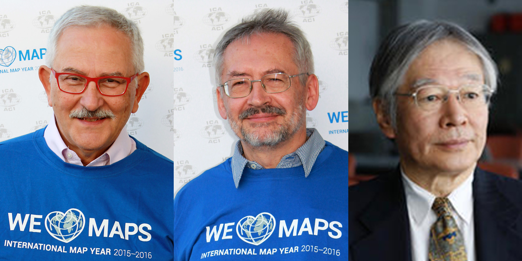
It is an honor and pleasure to address Prof Dr Sc Miljenko Lapaine on the occasion of awarding the Honorary Fellowship of the International Cartographic Association. This award is given to a cartographer of international reputation who has made special contributions to ICA.

Professor Lapaine is internationally recognized for his work in geodesy and map projections and he has made special and significant contributions to the ICA. He is a cartographer who understands the fundamental basis of mathematics and computer science for geodesy, map projections and cartography in general. His international reputation is among the best in the world and he has made numerous special contributions to ICA through his work at International Cartographic Conferences, his support of ICA commissions and activities and his chairmanship of the Map Projection Commission.

He was born in 1952 in Zagreb. In his college education, he studied mathematics graduating in 1976 from the University of Zagreb, Department of Theoretical Mathematics. He received a master’s degree in 1991, with a thesis entitled Contemporary Approach to Cartographic Projections and a Ph.D. in 1996 with a dissertation under the direction of Prof Dr Sc Nedjeljko Frančula, on Mappings in Cartographic Projection Theory also from the University of Zagreb. While still studying mathematics, he started working, first as a teacher at a primary school then high school in Zagreb. At the Faculty of Geodesy, University of Zagreb, he was assistant professor, associate professor and awarded full professor status in 2003. He teaches courses in Cartography and GIS, Multimedia Cartography, Transformations in Cartography and History of Geodesy. At the postgraduate study of the Faculty of Geodesy University of Zagreb he taught Approximation Theory, Computer Graphics in Surveying, Surveying Cartography and Cartographic Heritage; at the postgraduate study of Geography at the University of Zadar he taught the application of digital cartography in the geography of littoral; and in graduate studies at the Faculty of Civil Engineering, University of Sarajevo Geodetic Cartography.

His scientific work is primarily in the application of mathematics and computer science in geodesy and cartography. He collaborated with surveyors where he worked on a variety of practical and engineering tasks in geodesy, equalization calculus, mechanics, hydrography, photogrammetry and cartography. One highlight is his computer system Kartomatika for removing deformities from drawings, plans or maps. He has published more than 450 articles in proceedings of scientific conferences and journals.

In working with students, he is particularly committed to introducing them to scientific research, so he is expert in assisting in the preparation of diploma and seminar papers successfully leading some twenty students who received The Rector’s Award.

He is the Project Manager of the State Border of the Republic of Croatia at Sea, Drawing in Science, Official Proposal cartographic projections of the Republic of Croatia, Cartography and new technologies. He is the head of the Department of Cartography of the Faculty of Geodesy 1999/2000; Vice Dean for Geodetic Studies Faculties 2003/05. For ten years he was the library manager at the Faculty of Geodesy. He is an associate of the Lexicographic Institute “Miroslav Krleža” since 1999. He has been an Associate of the Croatian Academy of Engineering since 1998 and major secretary since 2003; a member of the Croatian Chamber of Architects and Civil Engineers since 2002. He is founder and first President of the Croatian Cartographic Society and editor-in-chief of the journal Kartografija i geoinformacije (Cartography and Geoinformation) published in Croatian and English. He is a member of the Croatian Mathematical Society, the Croatian Society for Structural Geometry and Computer Graphics, Croatian Geodetic Society Croatian Geographical Society and associate member of the International Association of Geodesy.

Prof Dr Sc Lapaine has been a corresponding member of the ICA Spatial Data Standards Commission since 1995. He has participated in all International Cartographic Conferences since 1987. He was elected chair of the Map Projections Commission of the ICA in 2011 and successfully led that commission until 2019 with numerous workshops around the world; developing and publishing the book, Choosing a Map Projection. He graciously agreed to continue with the Map Projections Commission as vice-chair from 2019-2023.

Prof Lapaine has labored to address misconceptions about map projections and distortion properties. He maintains a clear perspective that all map projections are mathematically based and understanding map projection concepts requires understanding the mathematics. He is truly a leader in the theory and development of map projections and continues to mentor students and others in the field with his knowledge.

Prof. Dr. Sc Miljenko Lapaine is an outstanding scientist, teacher, mathematician, cartographer, and friend and a true contributor to cartography and the ICA.

My sincere congratulations on a well-deserved award for an outstanding scholar and person!

ICA Awards Ceremony at ICC2019

In the ICA Awards Ceremony at ICC2019, the following awards were presented in recognition of contributions to the ICA.

Evangelos Livieratos, Miljenko Lapaine, Takashi Morita

From left to right: Evangelos Livieratos, Miljenko Lapaine, Takashi Morita

ICA Honorary Fellowship

The ICA Honorary Fellowship is for cartographers of international reputation who have made special contribution to the ICA. It includes a bronze medal.

  • Evangelos Livieratos, Greece
    • Active participant and discussant in several ICA activities, such as ICCs
    • Chair of the WG Digital Technologies in Cartographic Heritage (2005–2007)
    • Chair of the ICA Commission on Digital Technologies in Cartographic Heritage (2007–2015) and ICA Commission on Cartographic Heritage into the Digital (2015–2019)
    • Founder of e-Perimetron
    • Active supporter of the International Map Year
    • Greek National Delegate to ICA
  • Miljenko Lapaine, Croatia
    • Participation in all International Cartographic Conferences since 1989
    • Chair of the ICA Map Projections Commission (2011–2019)
    • Vice-Chair of the ICA Map Projections Commission (2019–2023)
    • Led the development and editing of the 2017 book Choosing a Map Projection for the ICA
    • Active supporter of the International Map Year
    • Croatian National Delegate to ICA

Diplomas for outstanding services to ICA

The Diplomas for outstanding services to ICA are for colleagues who have made special contribution to the ICA as commission officers or conference organizers.

  • Takashi Morita, Japan
    • Member of the ICA Commission on Theoretical Cartography
    • Vice-President of ICA (1999–2003)
    • Chair of the ICA Commission on Ubiquitous Mapping (2003–2011)
    • Chair of Local Organizing Committee for ICC2019
    • President of Japan Cartographers Association (JCA)
    • Chair of the National Committee for Cartography, Science Council of Japan


Congratulations to all awardees!

Invitation to the ICA Maps and the Internet Commission Meeting in Zadar, Croatia

The ICA Commission on Maps and the Internet is holding a working meeting regarding the next book to be published by the commission and the future of the commission following the ICC2019 in Tokyo, Japan. The meeting will be held from December 10–11, 2018 in Zadar, Croatia.

Zadar, Croatia. Photo by Böhringer Friedrich via Wikimedia, CC BY-SA 2.5.

Zadar, Croatia. Photo by Böhringer Friedrich via Wikimedia, CC BY-SA 2.5.

Short 100–200 words research abstracts for the meeting can be sent to Dr. Rex Cammack. Abstracts will be accepted up to November 30, 2019. Authors of accepted abstracts will be encouraged to submit a completed research paper for publication in the Maps and Internet book. Individuals not submitting abstracts are encouraged to attend the meeting and be involved in the discussions regarding the future of the commission. As always the Maps and Internet Commission welcomes anyone interested in cartography to participate and learn about the ICA and the Commission on Maps and the Internet in this meeting.

More information can be found on the website of the commission.

Tag:

Save the Date & Call for Papers: 6th International Symposium on the History of Cartography

dubrovnik_History-of-Cartography1

The Dissemination of Cartographic Knowledge:
Production – Trade – Consumption – Preservation

Dubrovnik (Croatia), October 13–14, 2016

The ICA Commissions on the History of Cartography, Map Production & Geoinformation Management, Use, User & Usability Issues and the Institute of Social Sciences Ivo Pilar (Zagreb, Croatia) invite the submission of abstracts for papers and posters for a joint conference in Dubrovnik (Croatia), the medieval port city on the coast of the Adriatic and UNESCO World Heritage Site. The symposium and planned optional excursions are open to cartographers, geographers, historians, map collectors, academics and everyone with an interest in the diverse aspects of the history of cartography.

The Call for Papers can be found at the conference website histacartodubrovnik2016.com, including information on registration, programme, transportation and accommodation.

Questions regarding the conference and call for papers can be send to: Dr. Mirela Altic

dubrovnik

Tag: ,
rawboned-refined