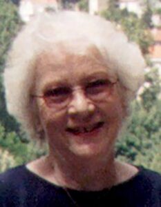
Monique Pelletier (1934-2020)
Monique Pelletier nous a quittés le 21 janvier 2020, à l’âge de 85 ans.
Monique Pelletier est née à Issy-les-Moulineaux le 9 septembre 1934. Archiviste-paléographe, elle a consacré sa thèse de l’École des Chartes au Grand Conseil, de Charles VII à François 1er. Toute sa carrière de conservateur s’est déroulée à la Bibliothèque nationale de France, où elle a exercé deux postes différents : de 1960 à 1977, elle a assuré la direction de la publication du « nouveau catalogue général » pour les publications arrivées à la BnF entre 1960 et 1970. À ce titre, elle a participé à la définition des normes internationales de description bibliographique. Puis en 1977, elle est nommée directeur du département des Cartes et plans, poste où elle resta 22 ans, jusqu’en 1999.
Monique Pelletier savait aussi encourager les travaux des chercheurs. Elle a accueilli dans le Département plusieurs « pensionnaires » détachés à l’issue de leurs études à l’École normale Supérieure et elle a su leur proposer des travaux intéressants, inscrits dans des problématiques contemporaines. Elle a également toujours été disponible pour aider les amateurs qui se lançaient dans des recherches.
Elle s’est engagée très vite dans les travaux du Comité français de cartographie dont elle fut présidente de 1988 à 1995. Elle a pris la direction de sa revue, Le monde des cartes, en 1992 et cela jusqu’à ces toutes dernières années.
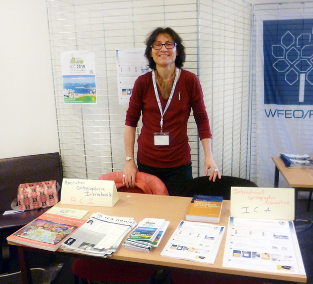
Elle a su s’engager dans les organisations ou les associations professionnelles françaises ou internationales liées à l’histoire de la cartographie et y avoir une place éminente : elle a été membre de la section de géographie du CTHS dès 1977, avant d’en assurer la présidence vingt ans plus tard ; elle a présidé la commission histoire de la cartographie de l’Association cartographique internationale (1987-1995) ; elle a participé également aux travaux du « groupe des cartothécaires » de LIBER, aux travaux d’Imago Mundi, de Cartographica Helvetica, etc.
Ainsi l’activité de Monique Pelletier était à l’image de sa personnalité combattive et généreuse, toujours prête à se lancer dans de nouveaux projets, mais en sachant les mener à bien et à encourager ceux qui souhaitaient se lancer dans la même voie qu’elle. Les témoignages qui accompagnent l’ouvrage Tours et contours de la Terre sont à ce titre très émouvants et montrent la richesse de cette personnalité hors du commun.
Hélène Richard
 During