Dear ICA Colleagues,
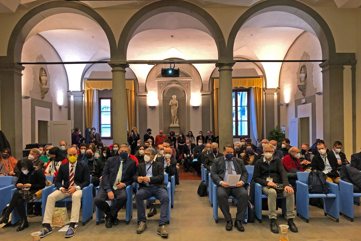
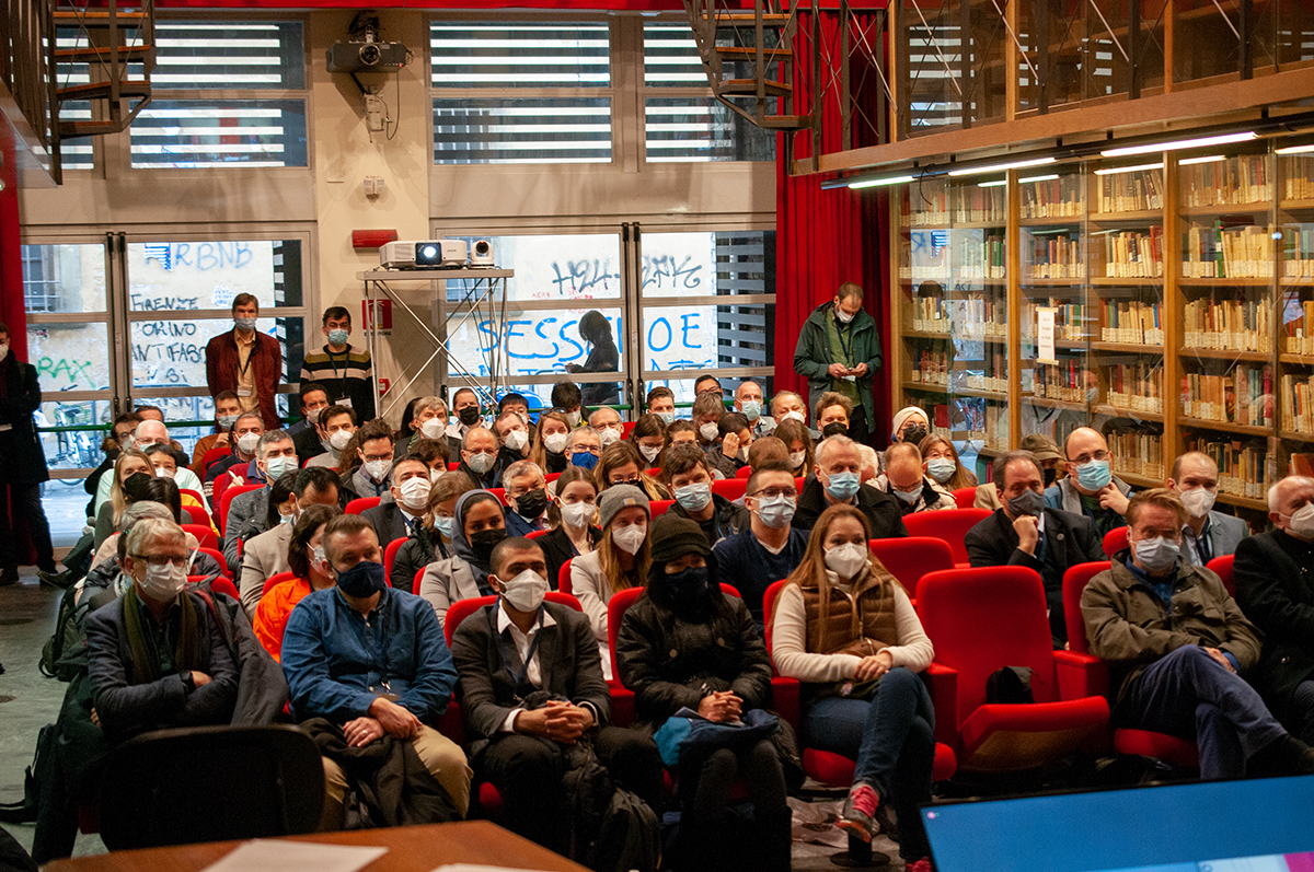
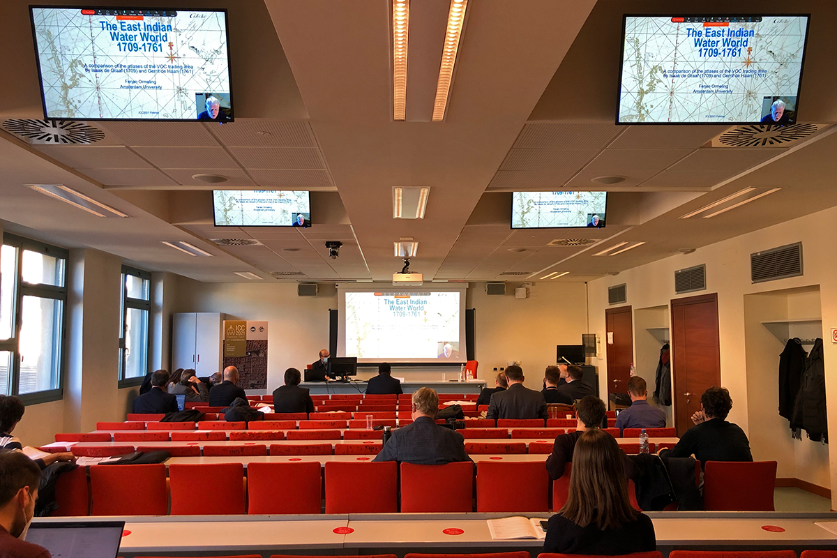
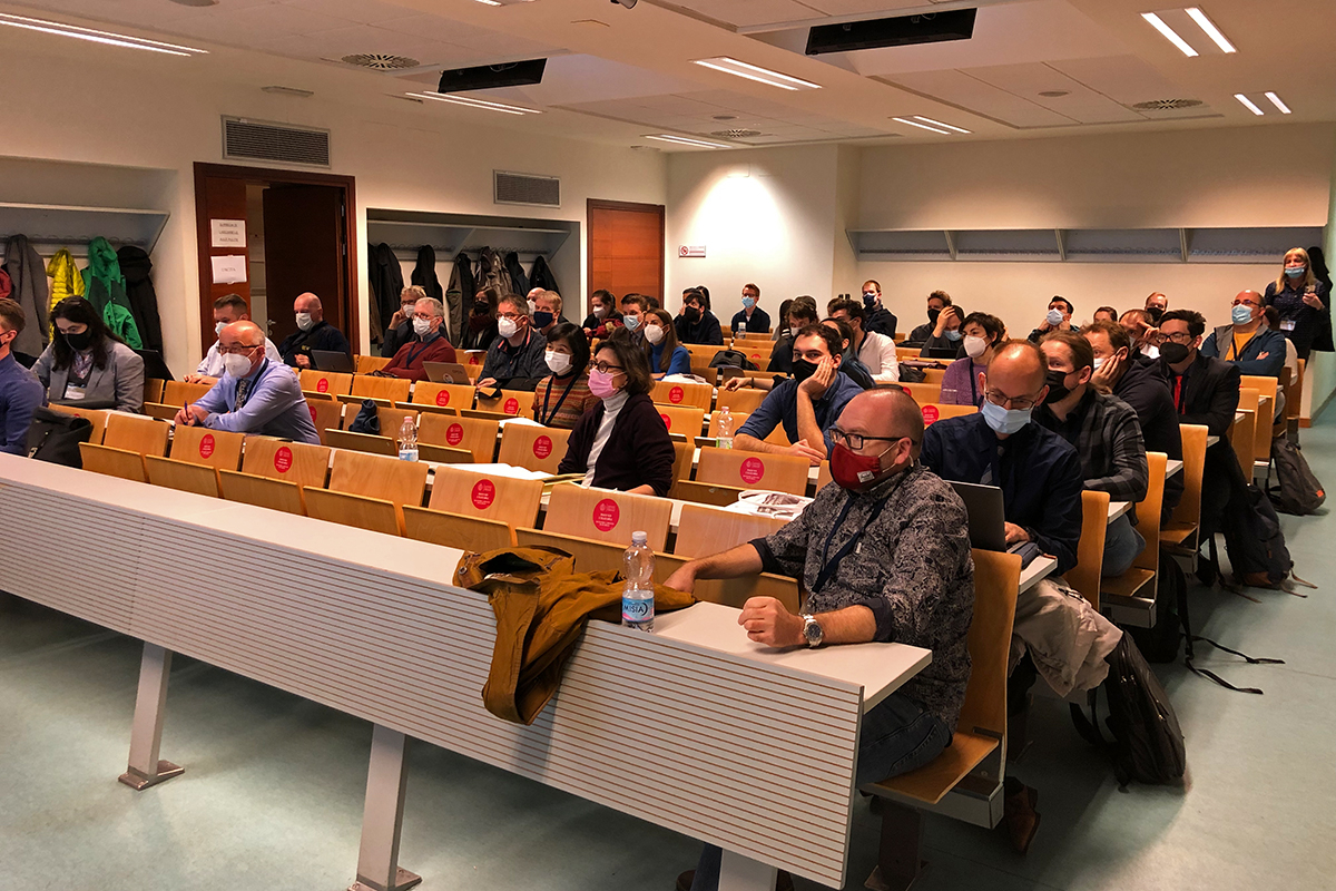
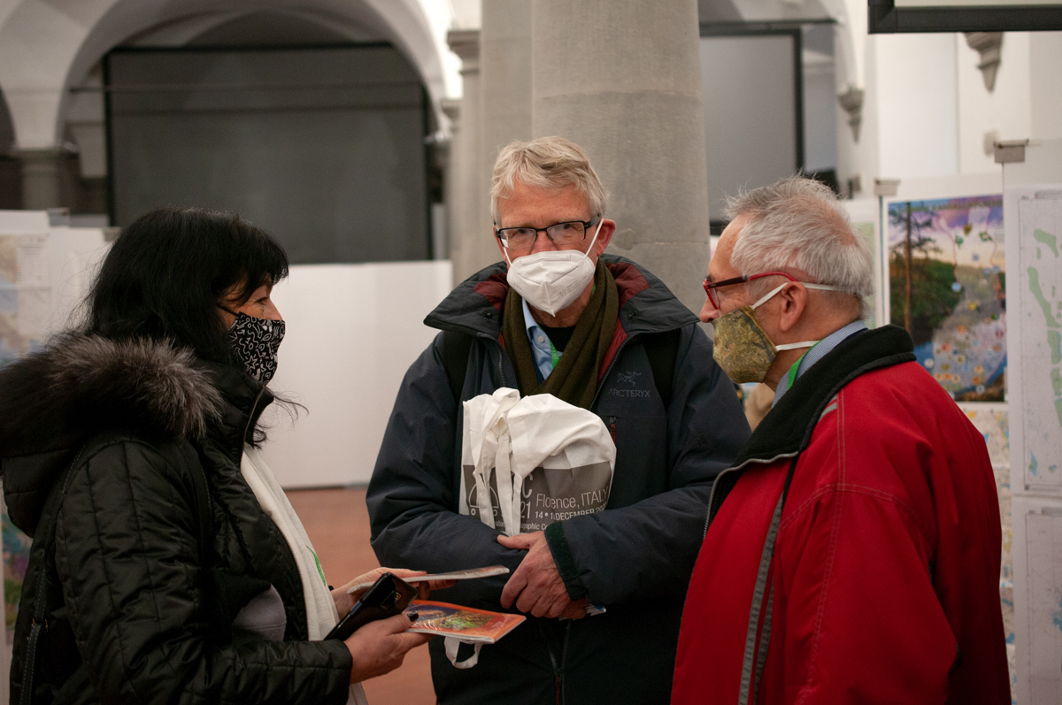
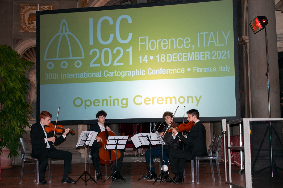
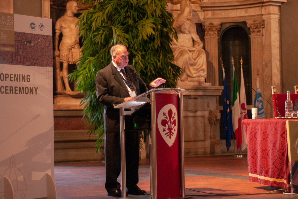
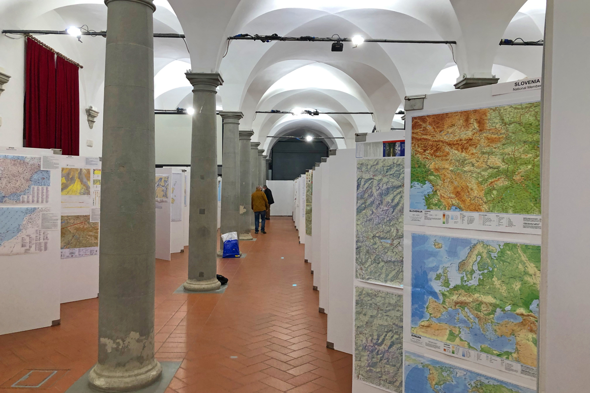
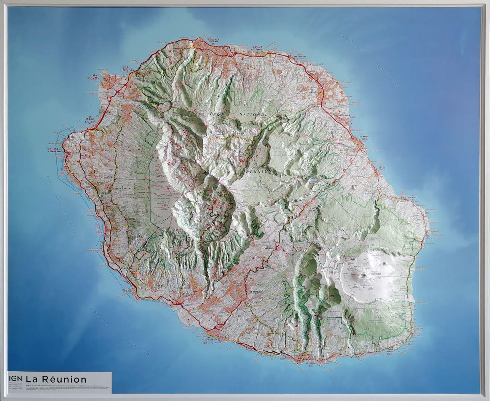
 The 30th International Cartographic Conference was a resounding success! The courage of the Florence Local Organizing Committee (LOC) resulted in 630 participants who were able to benefit from a rich program in cartography and GIScience, with 309 colleagues in person. The program evidence included 563 submitted abstracts and papers, 16 of which are published in the ICA’s International Journal of Cartography. Other submissions are available in the conference proceedings. During the ICC, there were 4 special panel sessions and 80 technical sessions from which to choose.
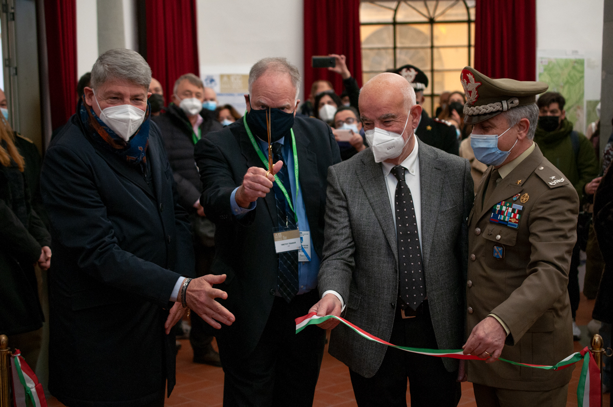
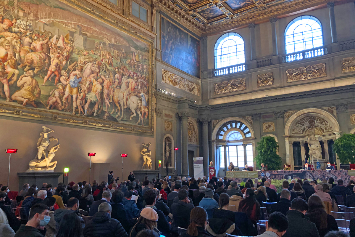
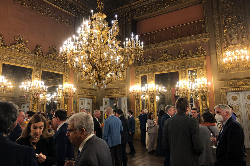
The university venue made it possible for everyone to experience the scientific program while those in person had the added benefit of events that highlighted the beautiful art, history, and architecture of the Renaissance City. Most in person colleagues came from Europe. Other regions were represented by Chile, the United Arab Emirates, and the United States.
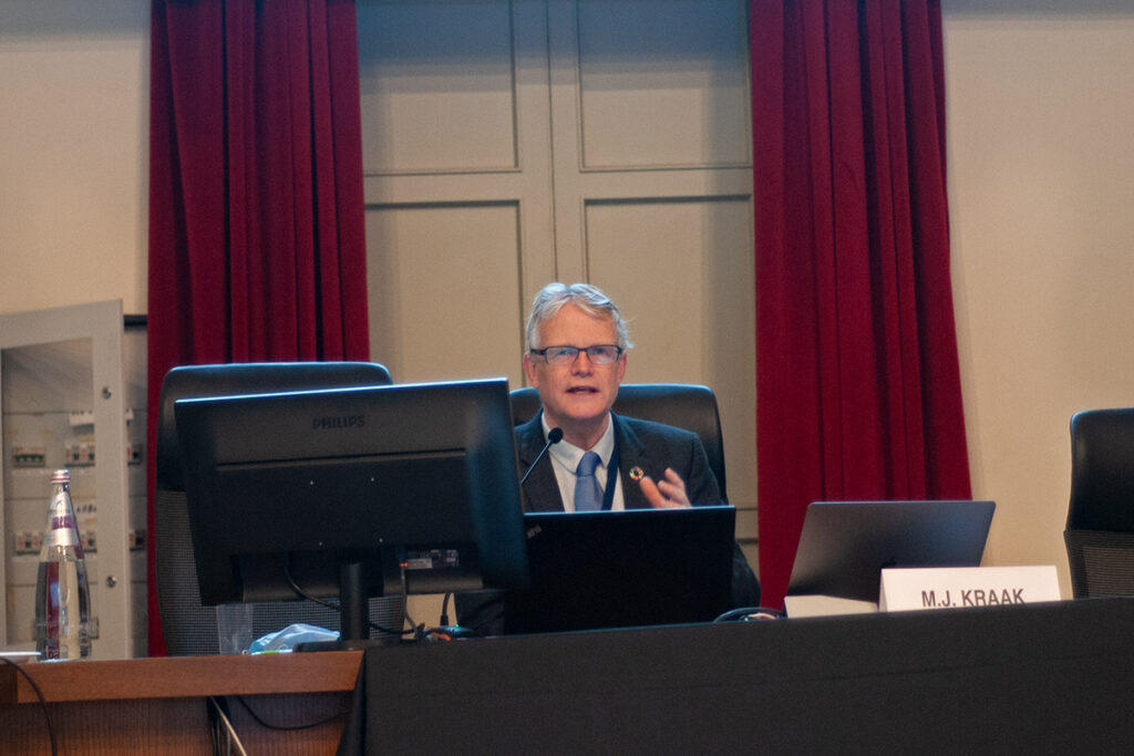
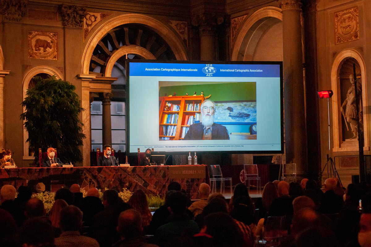
Two in-person keynotes were offered as, on the last full day, Professor Menno-Jan Kraak highlighted the successful collaboration between the United Nations and the ICA in the joint publication “Mapping for a Sustainable World.”
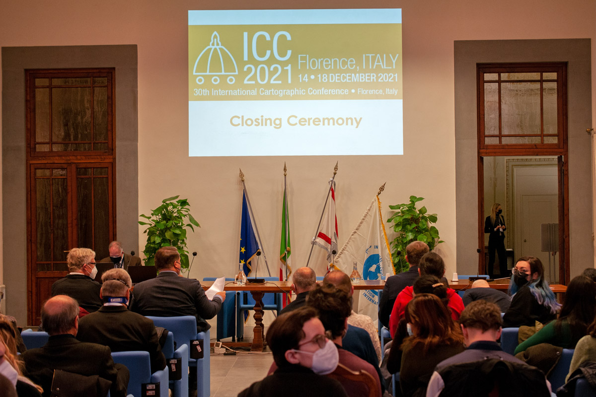
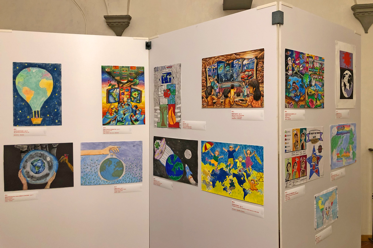
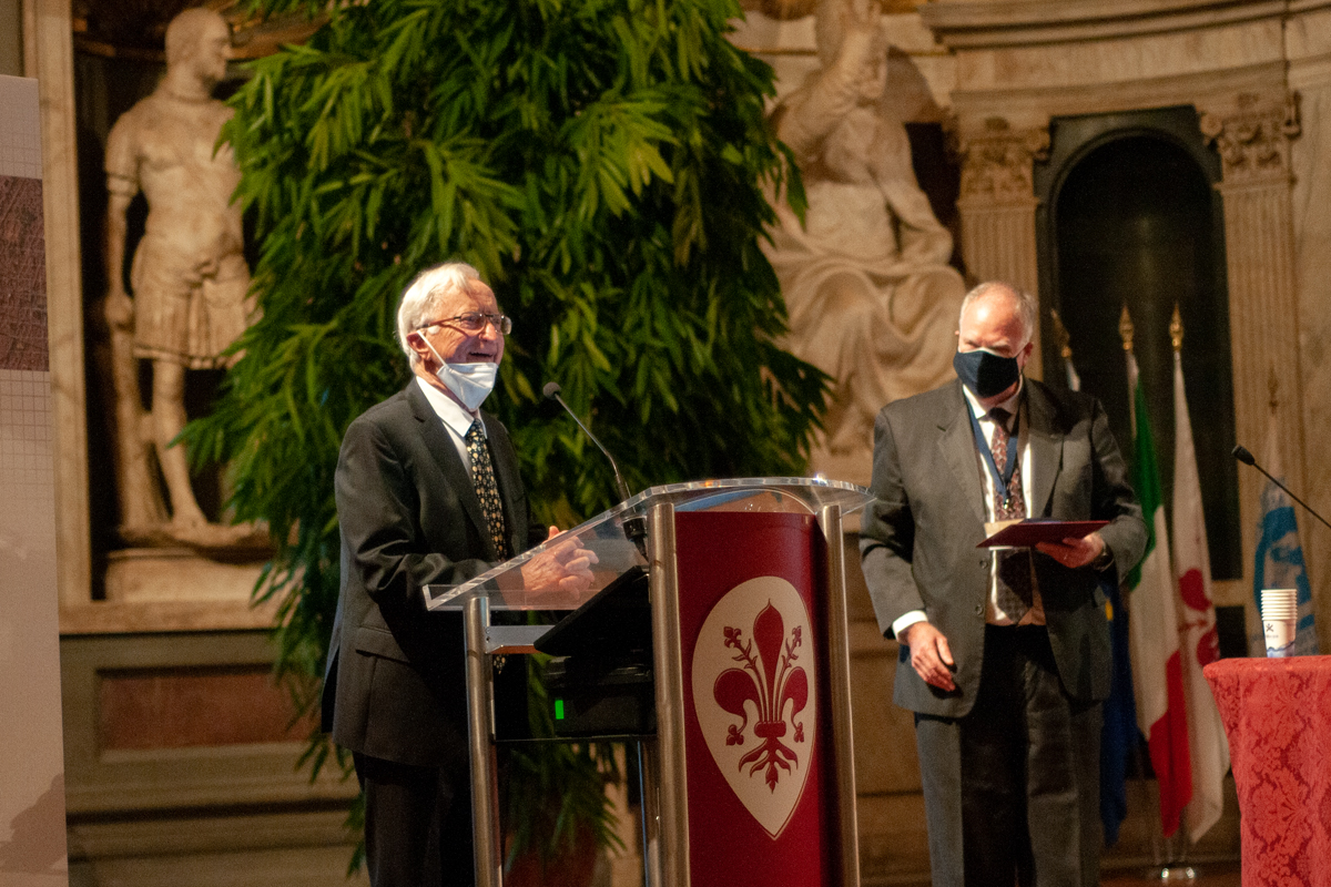
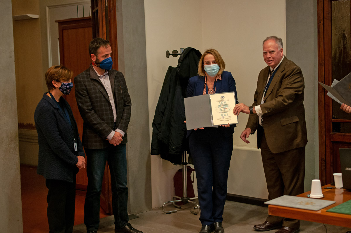
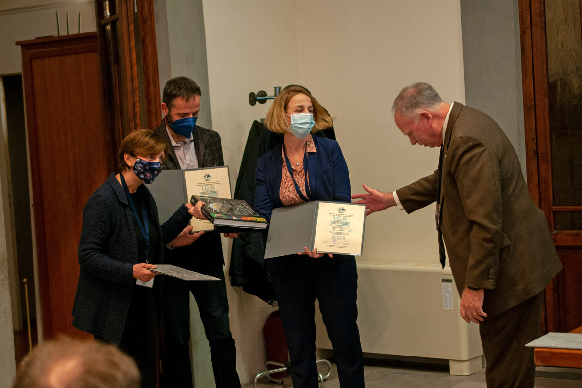
During the Closing Ceremony, Paola Zamperlin and Margherita Azzari offered summary details of the conference. This was followed by a series of ICA awards, the results of the International Cartographic Exhibition and recognition of ICA scholarship awardees, all of which will be shared in a subsequent blog. Professor Giuseppe Scanu, President of the Italian Cartographic Society, offered a vote of thanks to the Local Organizing Committee and supporters of the ICC.


 It was not possible for colleagues from South Africa to travel to Italy but that did not dampen their excitement for inviting all of us to Cape Town in 2023 for the 31st International Cartographic Conference and 19th General Assembly. The South Africa Committee offered a video enticing us to come along to Cape Town which was supplemented with a detailed presentation on what to expect and key dates to note which are now live on the ICC2023 website.
The Closing Ceremony concluded with a few remarks by your president on the successful implementation of this notable event due to the endurance of the LOC, the interest and dedication of the participants, and the appreciated support by the University of Florence, the host city, Florence, and region of Tuscany. We then bid farewell until the next time we meet.
– Tim Trainor
President of the International Cartographic Association
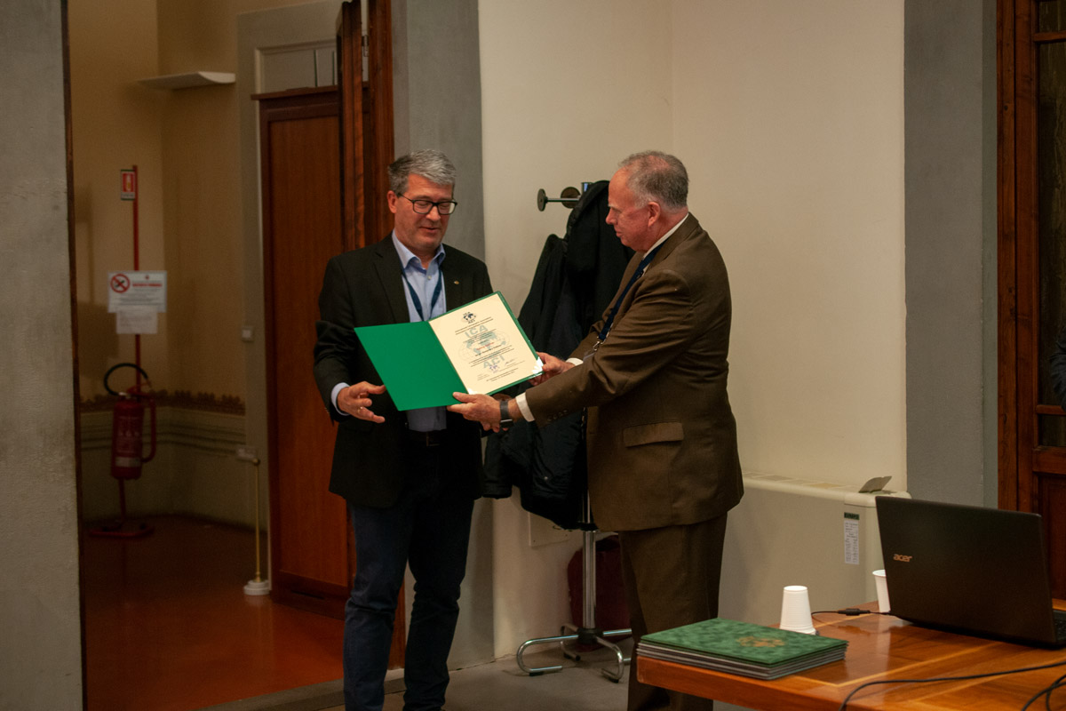
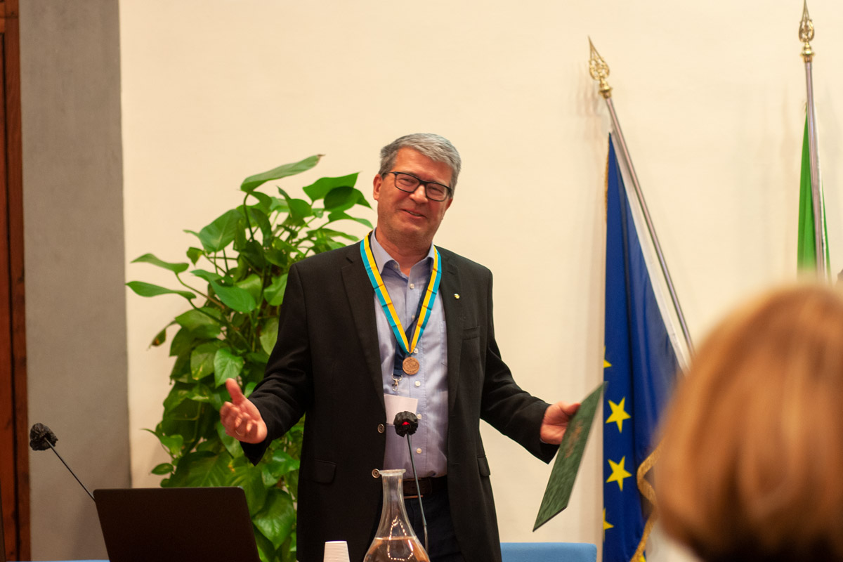
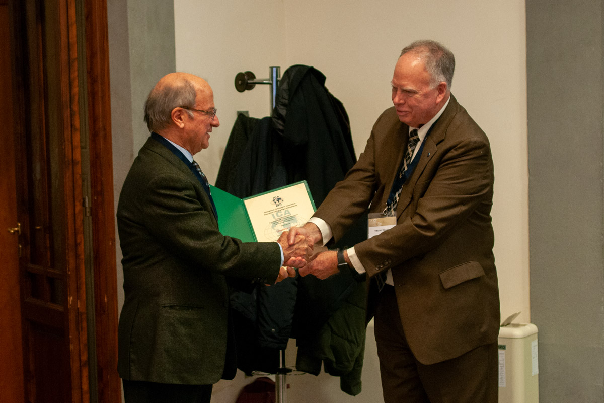
Photos by Stephan Wondrak – thanks!


, Head of the Federal Service for State Registration, Cadastre and Cartography, and his team.")

 and Tim Trainor (President ICA) during a keynote speech on «Cartography In An Age Of Digital Transformation»")