Welcome to the International Cartographic Association
Welcome to the website of the International Cartographic AssociationGet to know the new ICA Executive Committee for the term 2023-2027
Welcome to the website of the International Cartographic Association
Get to know the new ICA Executive Committee for the term 2023-2027

Call for Papers, AAG Session on Mapping Difficult Stories

The ICA Commission on Art and Cartography invites papers to be included in the session Mapping Difficult Stories at the 2019 Association of American Geographers Annual Meeting in Washington, D.C., from April 3–7 April, 2019. 

In this session we are interested in exploring new forms of spatial expression designed to visualize stories that are difficult to tell: stories of individual and mass violence, stories of containment and forced displacements, stories of painful memories and tragedies. Mapping such stories can serve different purposes. It can contribute to a better understanding of personal and collective experiences, of the socio-political forces that have shaped them and of the relationships that individuals and communities have developed with places throughout these difficult moments. Mapping difficult stories can also make these experiences more tangible and accessible to a broader audience.

Mapping difficult stories requires us to revisit and expand our cartographic language. Stories in general do not land particularly well on maps. While stories are spatial, they are also fluid; their geographies fluctuate, change shape and scale, as can their context and the individual who bears them. Whether expressed in interviews, memoirs, diaries, or letters, the elusive geographies of stories don’t easily mesh with the rigid Euclidean structure of the conventional map, and the transformation of difficult memories into abstract cartographic symbols generates ethical and methodological issues that mapmakers must engage. Building on the growing interest in mapping experience among scholars, artists and cartographers in across the arts and humanities, this session aims to bring together a broad range of individuals interested in sharing their efforts to find spatial forms of expression for difficult stories.

If you are interested in joining this session please send an abstract (no more than 250 words) to Anne Knowles (anne.knowles@maine.edu), and Sébastien Caquard (sebastien.caquard@concordia.ca) by October 25, 2018.

Tag: , ,

Recipients of the ICA Map Awards 2017

At the biennial International Cartographic Conferences, ICA organizes an International Map Exhibition, where map products originating from ICA member countries are exhibited. An international jury selects the best entries in six categories; in addition, there is also a public vote.
The international jury this year at ICC2017 was chaired by Kenneth Field (UK), who is also the Chair of the ICA Commission on Map Design. Further jury members were: 

  • Antoni Moore, New Zealand
  • David Fairbairn, United Kingdom
  • Paulo Menezes, Brazil
  • William Cartwright, Australia
  • Lorenz Hurni, Switzerland
  • Dirk Burghardt, Germany
  • Dušan Petrovič, Slovenia
  • Serena Coetzee, South Africa
  • Rosemary Wardley, USA (LOC)

Please find the winners of the ICA Map Awards 2017 below.

Atlases

3rd place: Grand Topographic Atlas of Catalonia 1:25,000 (Institut Cartogràfic i Geològic de Catalunya)

3rd: Grand Topographic Atlas of Catalonia 1:25,000 (Institut Cartografic i Geologic de Catalunya)

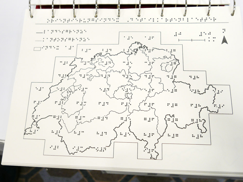
2nd place: Tactile Atlas of Switzerland (Switzerland)

2nd place: Tactile Atlas of Switzerland (Switzerland)

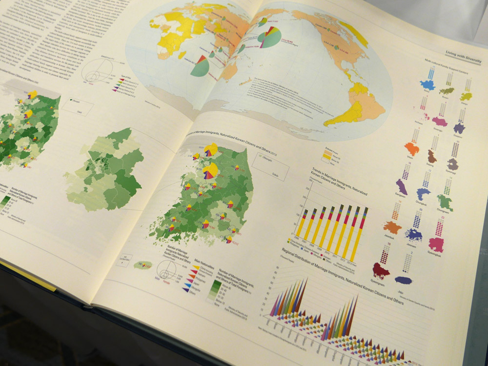
1st place: The National Atlas of Korea I (Republic of Korea)

A comprehensive, large format and very detailed atlas. The maps are well proportioned, clear and discernible. The highest quality throughout, accompanied by considerable graphs, accompanying text and infographics.

1st place: The National Atlas of Korea I (Republic of Korea)

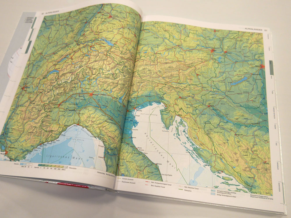
Public Vote: Swiss World Atlas 2017 Ed. (Switzerland)

Public Vote: Swiss World Atlas 2017 Ed. (Switzerland)

Digital products

3rd place & Public Vote: Atlas of Switzerland online (Switzerland)

3rd place & Public Vote: Atlas of Switzerland online (Switzerland)

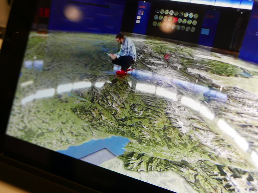
2nd place: Augmented Reality App Swissarena (Switzerland)

2nd place: Augmented Reality App Swissarena (Switzerland)

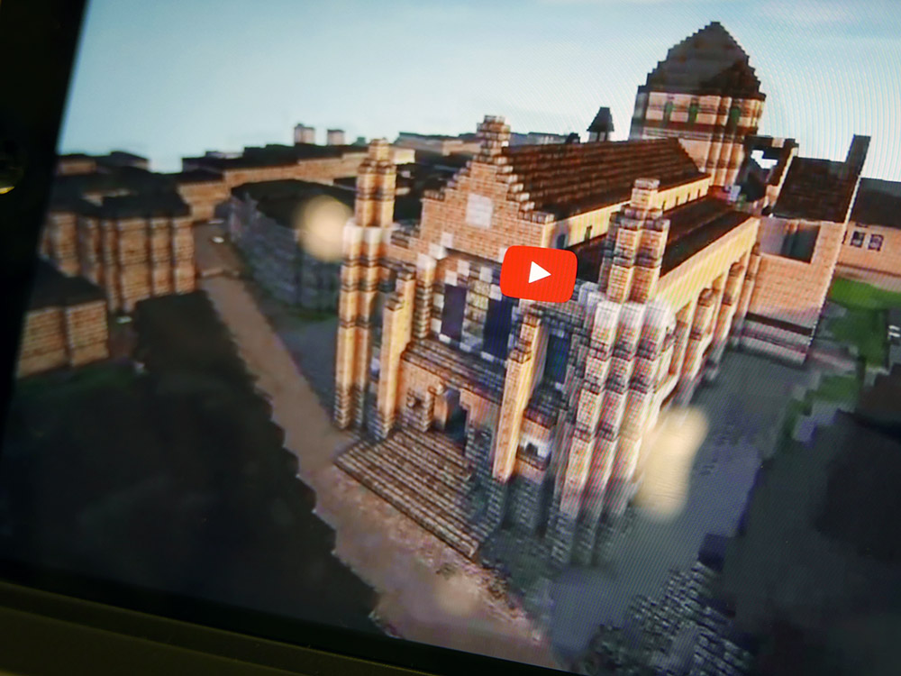
1st place: Minecraft® on Demand (France)

A wonderful mix of the real world and the popular world of Minecraft. An innovative idea that is superbly executed. Intuitive and playable cartography!

1st place: Minecraft® on Demand (France)
 

Educational cartographic products

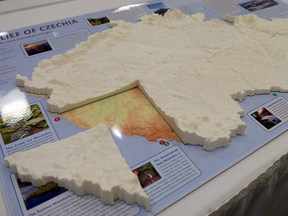
3rd place & Public Vote: 3D Relief of Czechia (Czechia)

3rd place and public vote: 3D Relief of Czechia (Czechia)

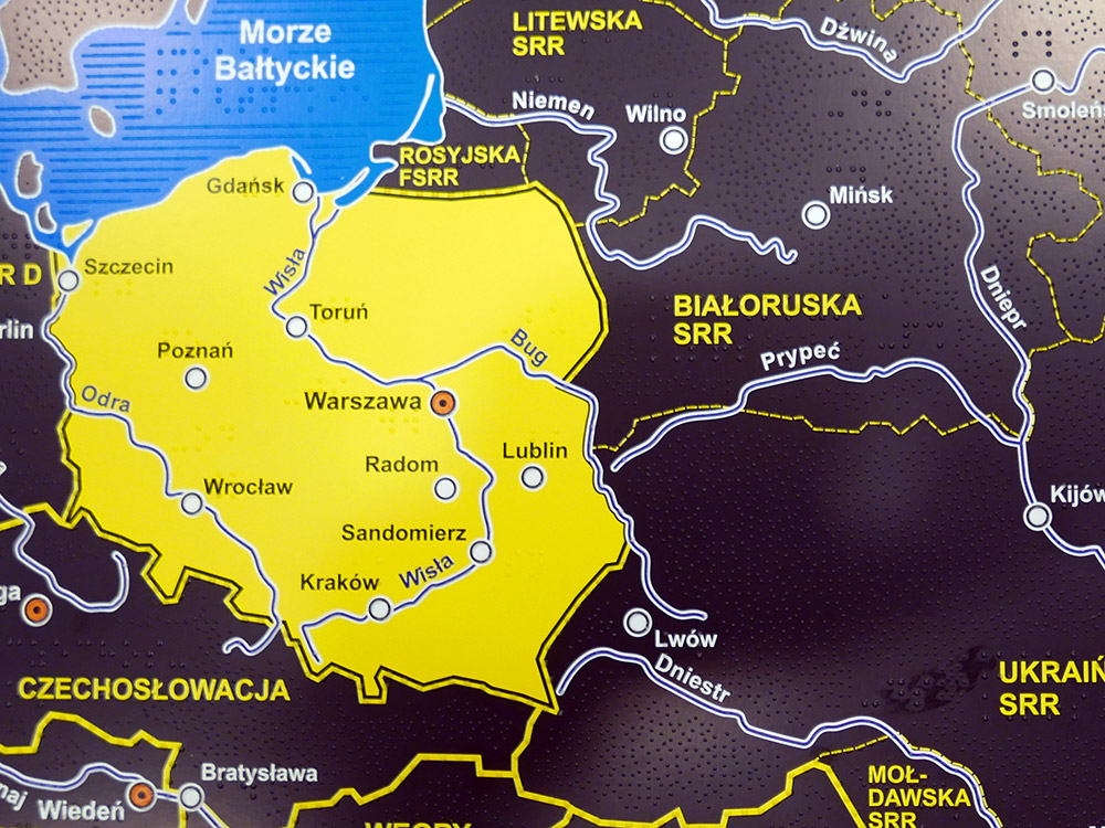
2nd place: Historical Atlas of Poland for blind and visually impaired (Poland)

2nd place: Historical Atlas of Poland for blind and visually impaired (Poland)

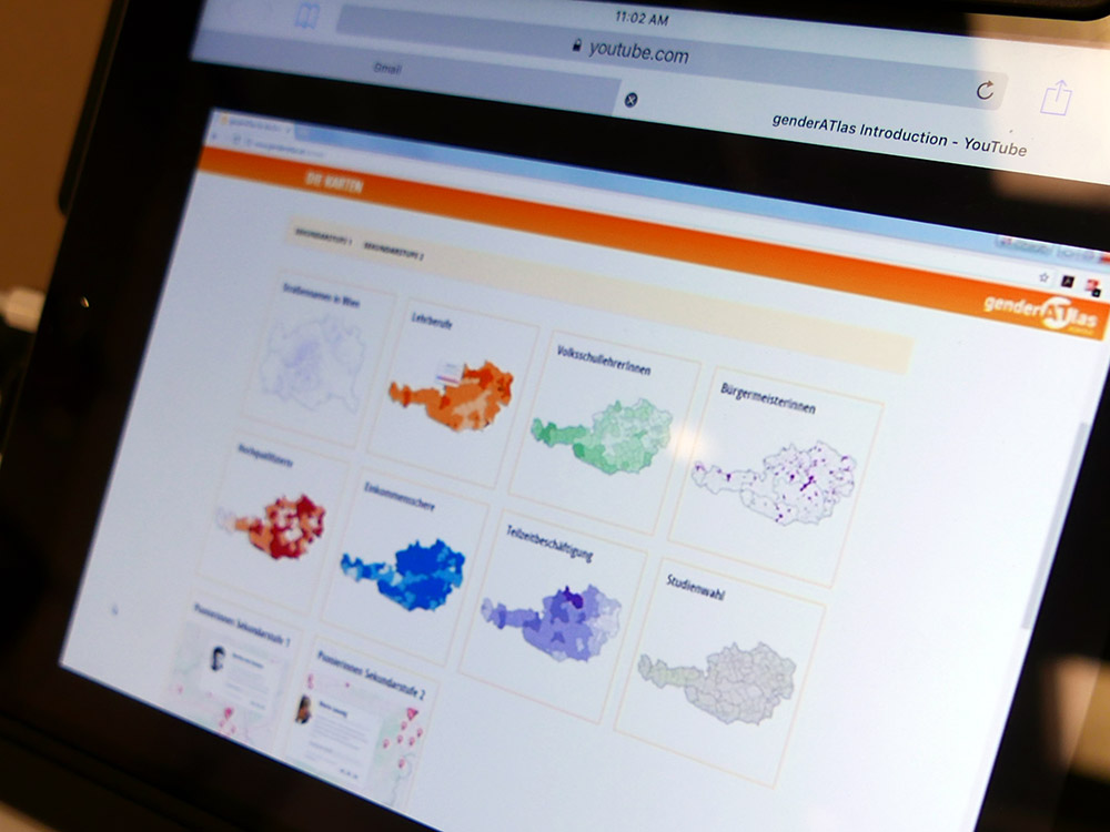
1st place: genderATlas goes school (Austria)

A very well thought through mini-atlas that explores gender issues for women and men. This version specifically aimed at school children to promote understanding of equality and support research initiatives.

1st place: genderATlas goes school (Austria)
 

Other cartographic products

3rd place: Canton Berne – 3D printed Terrain Model, 1:25,000 (Switzerland)

3rd place: Canton Berne – 3D printed Terrain Model, 1:25,000 (Switzerland)

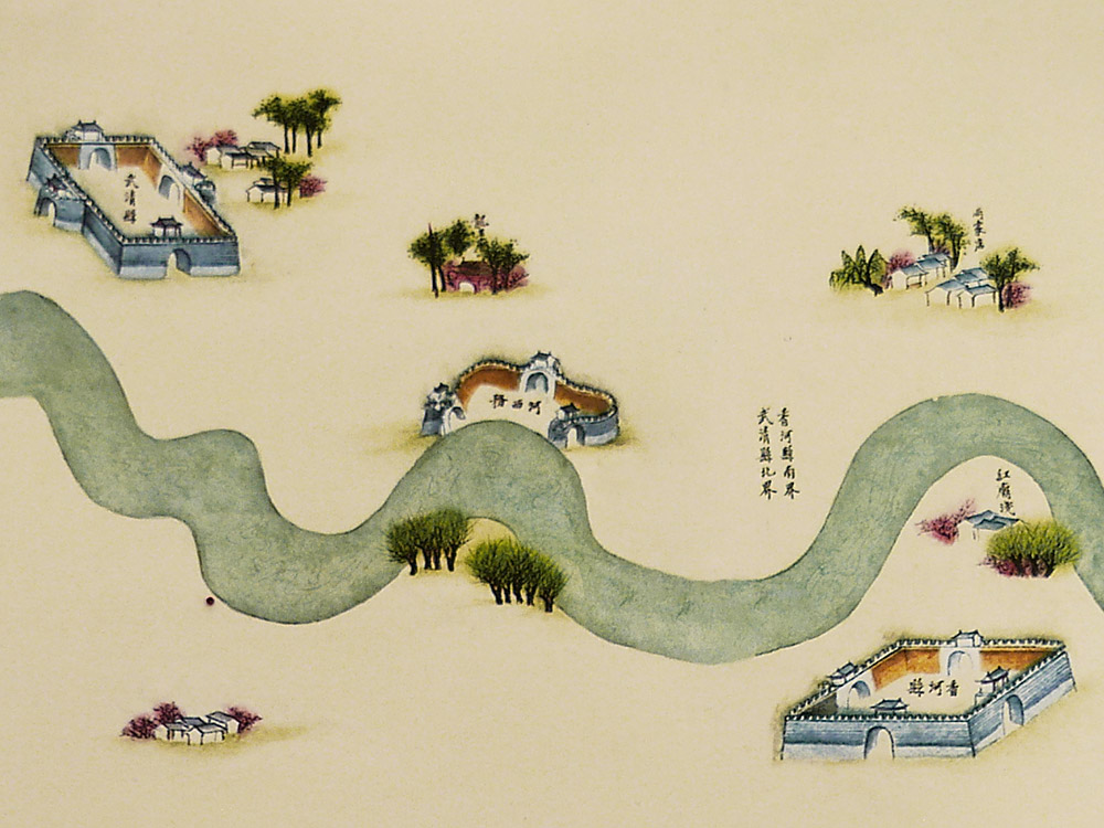
2nd place & Public Vote: Canal Full Map Long Scroll (China)

2nd place & public vote: 2nd place Canal Full Map Long Scroll (China)

2nd place & public vote: 2nd place Canal Full Map Long Scroll (China)

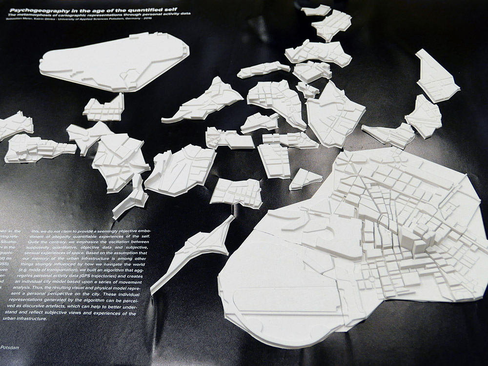
1st place: Psychogeography in the age of the quantified self (Germany)

Personal cartographies modelled from mental maps and movement data. A stylish form that builds art from the digital capture of our everyday activities.

1st place: Psychogeography in the age of the quantified self (Germany)
 

Charts on panels

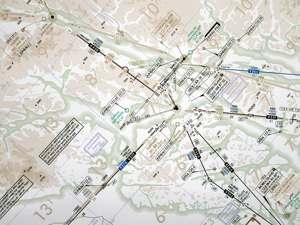
3rd place: IFR Enroute Low Altitude – Alaska L-1 (Esri)

3rd place: IFR Enroute Low Altitude - Alaska L-1 (Esri)

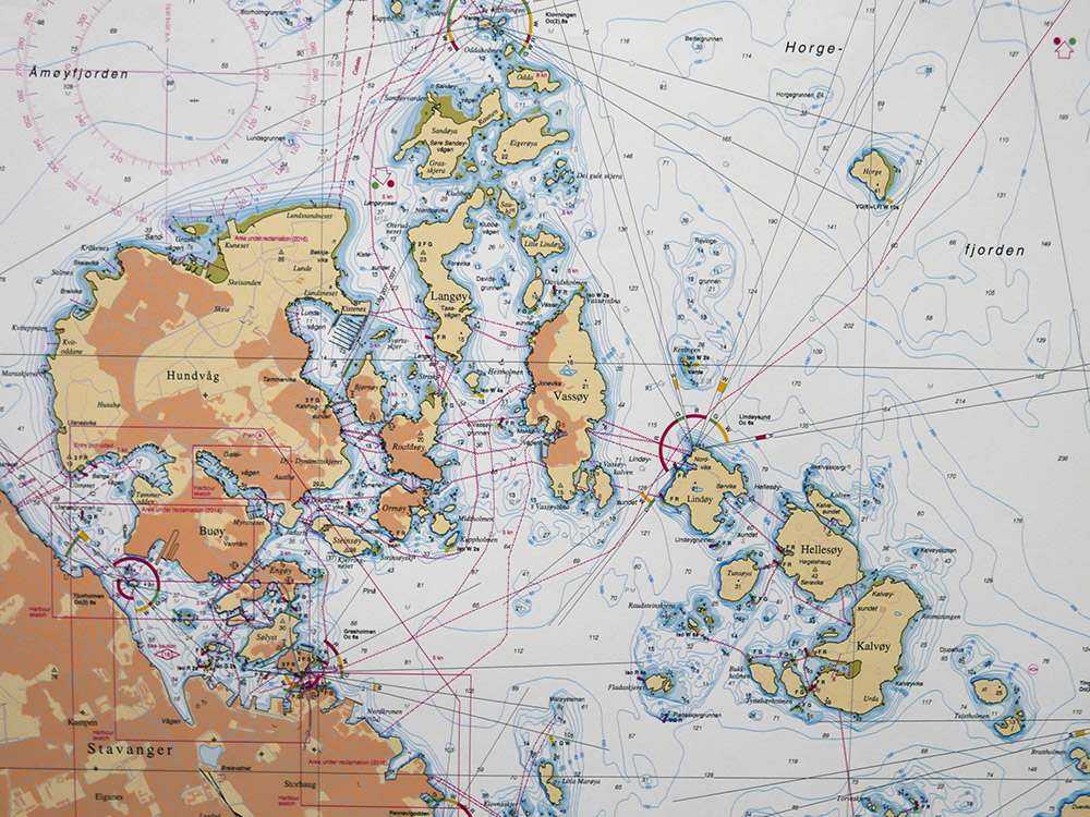
2nd place: Stavanger Harbor with Seaward approaches (chart no. 455) (Norway)

2nd place: Stavanger Harbor with Seaward approaches (chart no. 455) (Norway)

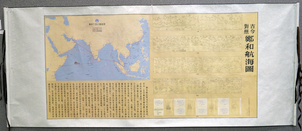
1st place: Zhenghe Navigational Chart with an Ancient vs. Modern Comparison (China)

Innovative representation displaying two contrasting but exquisite cartographic styles, complemented by the rich, high quality materials.

1st place: Zhenghe Navigational Chart with an Ancient vs. Modern Comparison (China)

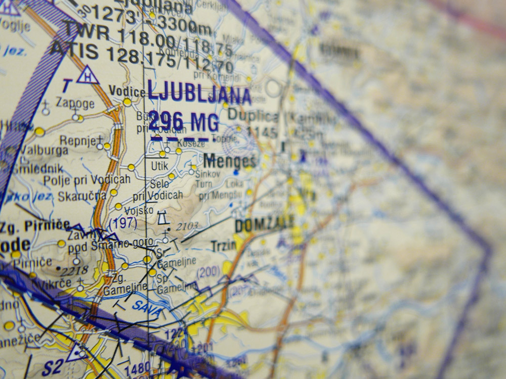
Public Vote: VFR Aeronautical Chart of the Republic of Slovenia (Slovenia)

Public vote: VFR Aeronautical Chart of the Republic of Slovenia (Slovenia)
 

Maps on panels

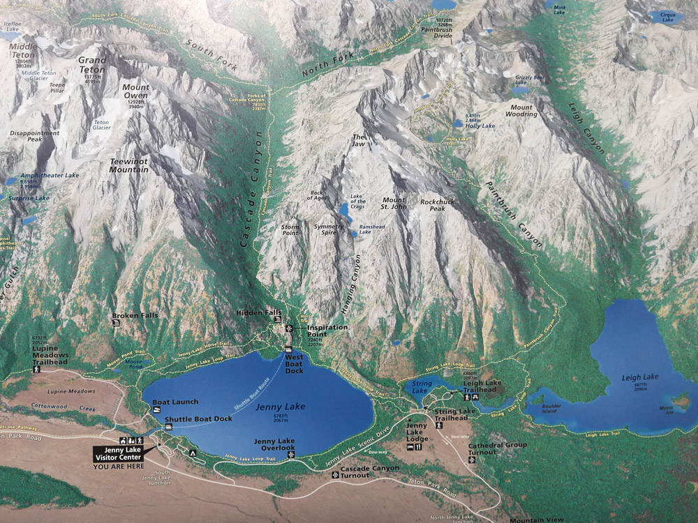
3rd place: Jenny Lake Hiking Map (USA)

3rd place: Jenny Lake Hiking Map (USA)

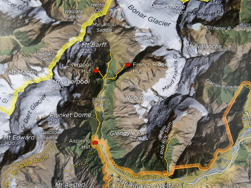
2nd place: The Olivine Wilderness (New Zealand)

2nd place: The Olivine Wilderness (New Zealand)

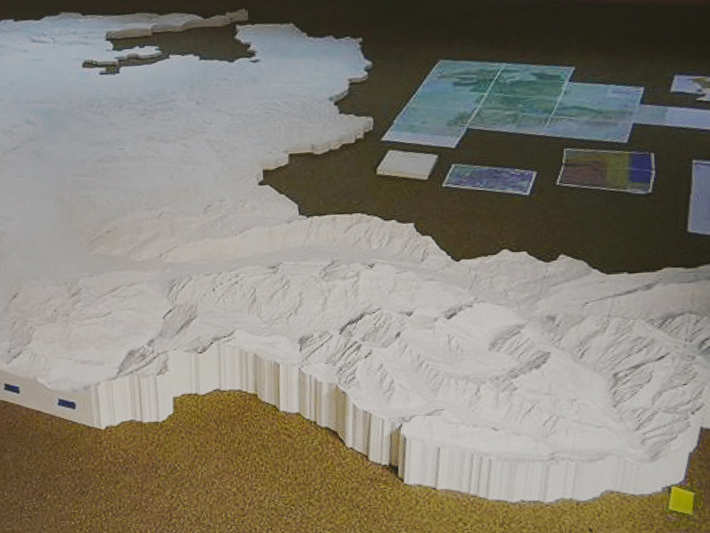
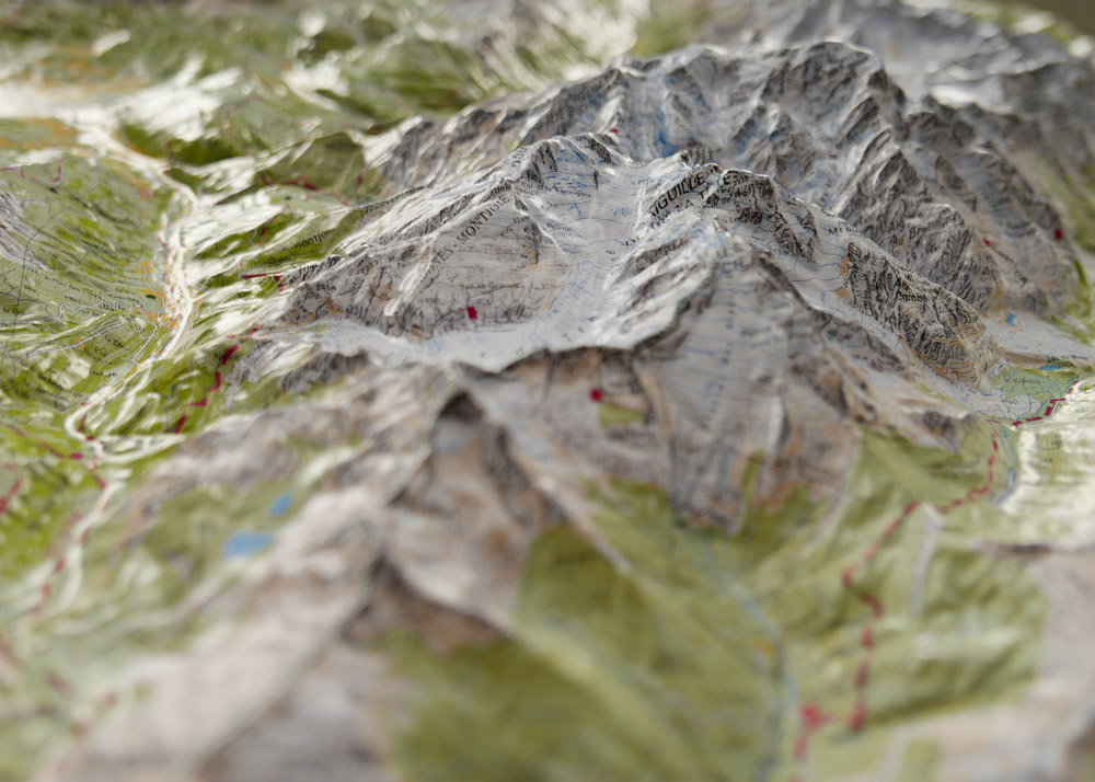
1st place: Relief MASSIF DU MONT BLANC (France)

A beautiful moulded model of Mont Blanc. The map content is well printed, avoiding significant stretching, yielding an evocative 3D, detailed product.

1st place: Relief MASSIF DU MONT BLANC (France)

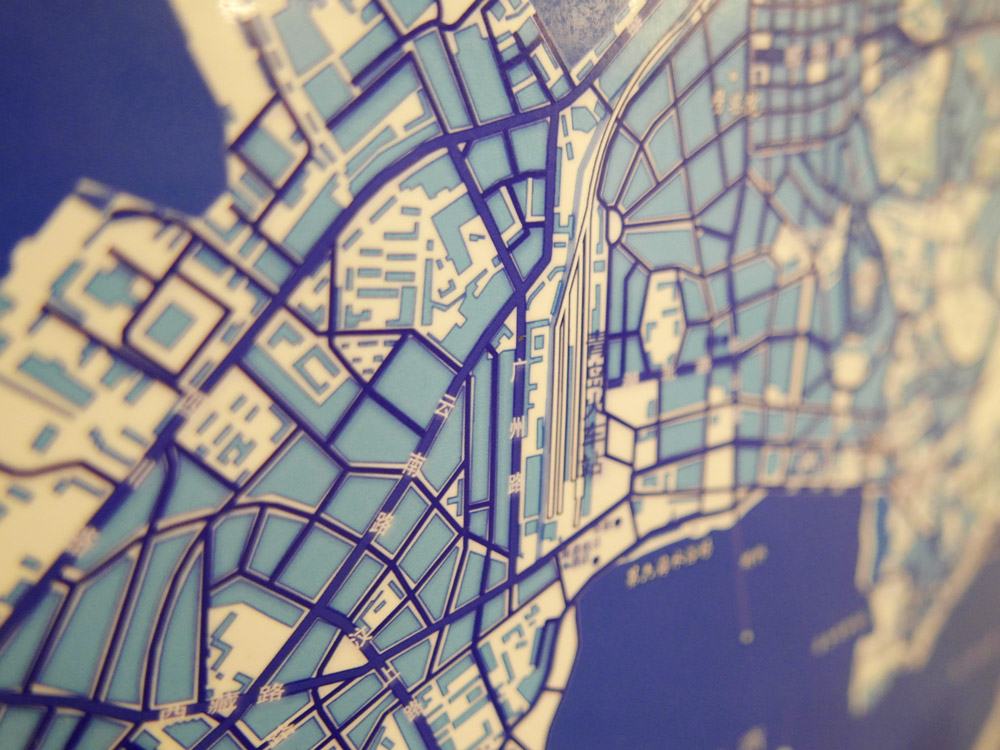
Public Vote: Blue and White Dream (China)

Public vote: Blue and White Dream (China)
 

Congratulations to all winners!

All winners will be contacted to be featured in our Map of the Month section over the course of the next two years. For a full list of map products exhibited during ICC 2015, please check the PDF catalogue.

Photos and jury statements provided by Ken Field.

Winners of the Barbara Petchenik Competition 2017

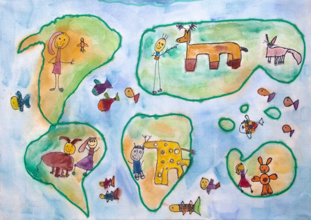
The Barbara Petchenik Competition is a biennial map drawing competition for children. The competition is first organized on a national level. The national winners can then compete in the international round, which takes place during the International Cartographic Conferences. This year at ICC2017, 193 drawings from 34 countries were exhibited. An international jury selected 12 winners in 4 categories. There was also a public vote and two creativity awards. Please find the wonderful results below.

Winners <6 years

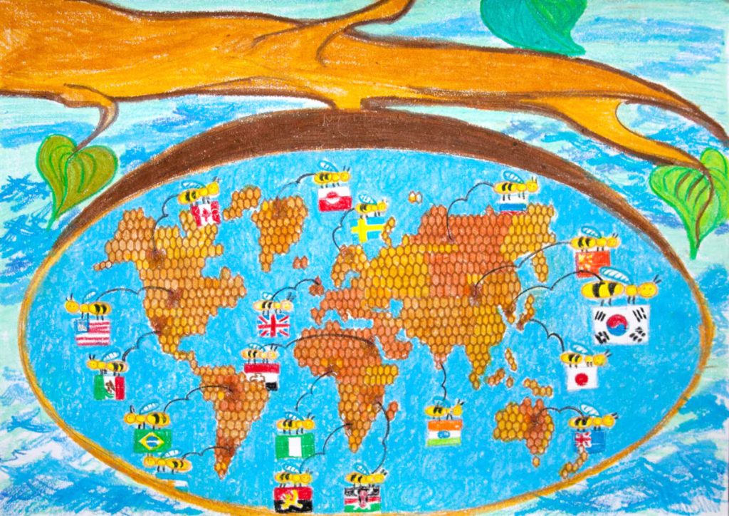
Crafting Our Dreams on the Land of Indonesia by Kenya Kesuma Dewi (5)

1st: Crafting Our Dreams on the Land of Indonesia by Kenya Kesuma Dewi (5)

Map of Life by Taja Koša (5)

2nd: Map of Life by Taja Koša (5)

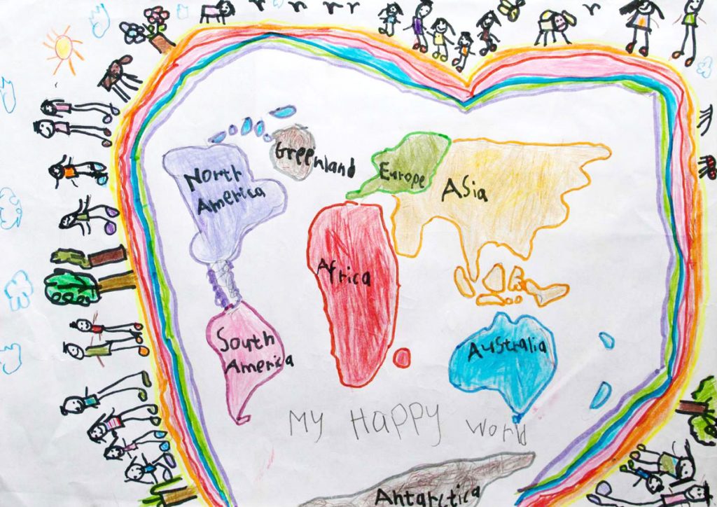
My Happy World by Alicia Fleming (5)

3rd: My Happy World by Alicia Fleming (5)


Winners 6–8 years

Map, Communicate with the world by Oh Eun Ju (8)

1st: Map, Communicate with the world by Oh Eun Ju (8)

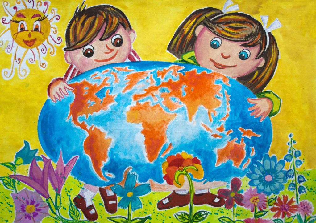
The World is in our hands by Preslava Ivanova (8)

2nd: The World is in our hands by Preslava Ivanova (8)

Drawing Maps by Beatrice Leoutsakou (8)

3rd: Drawing Maps by Beatrice Leoutsakou (8)


Winners 9–12 years

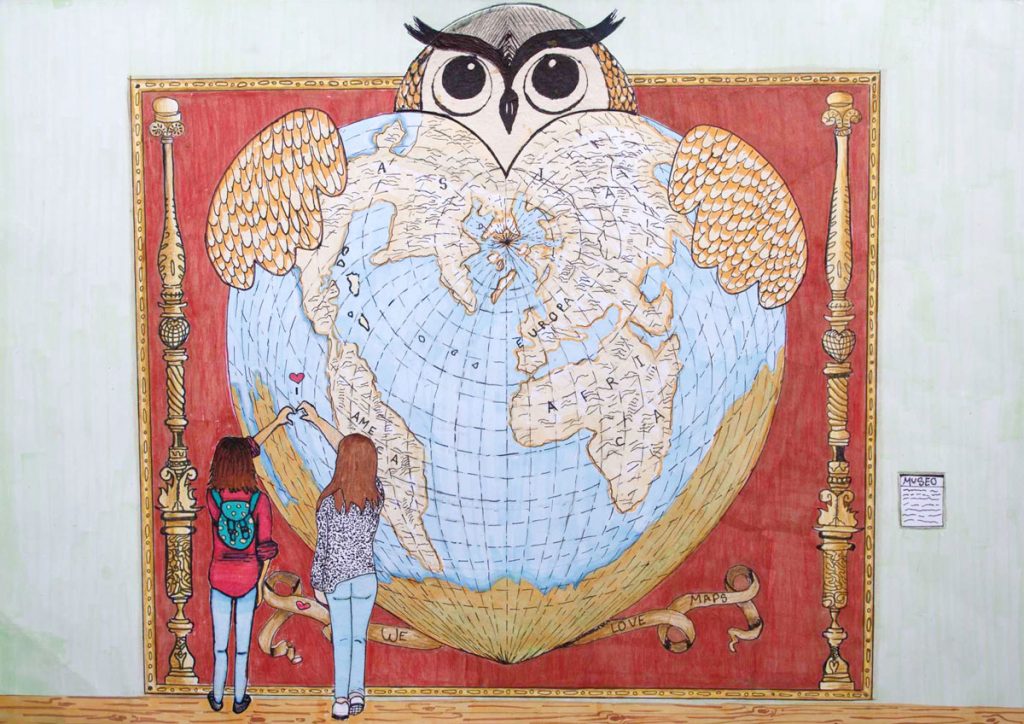
Oronce Fine through our eyes by Noemi Sanchez Avramova & Alba Serrano Suarez (12)

1st: Oronce Fine through our eyes by Noemi Sanchez Avramova & Alba Serrano Suarez (12)

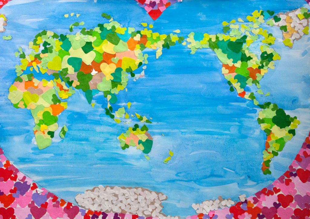
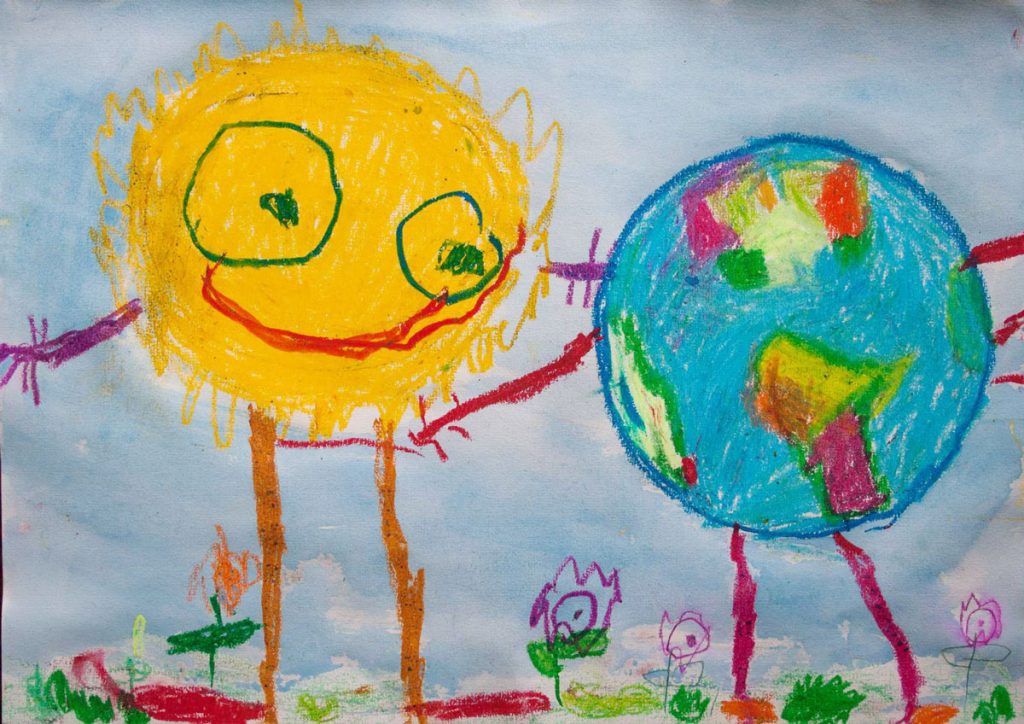
Happy Earth by Okubo Kasumi (9)

2nd: Happy Earth by Okubo Kasumi (9)

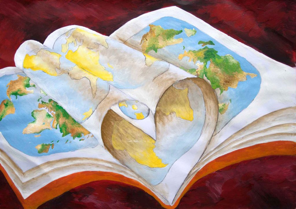
We love maps by Klara Zagórska (11)

3rd: We love maps by Klara Zagórska (11)


Winners >12 years

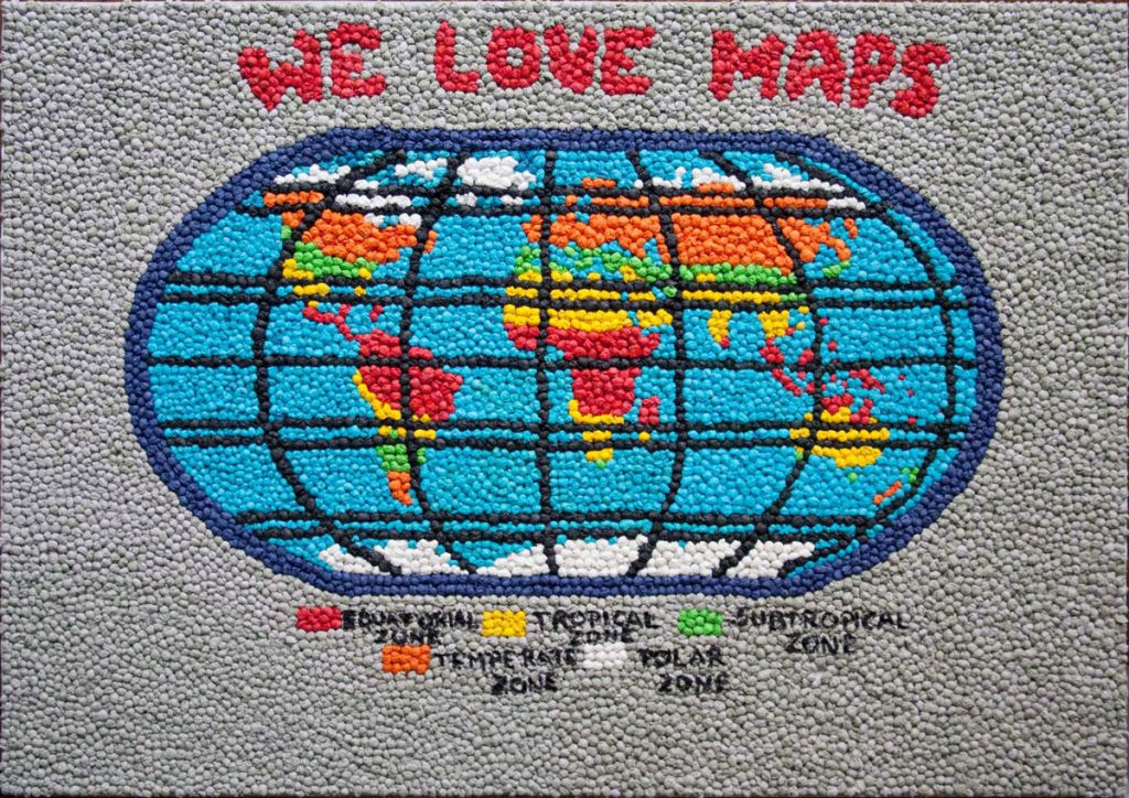
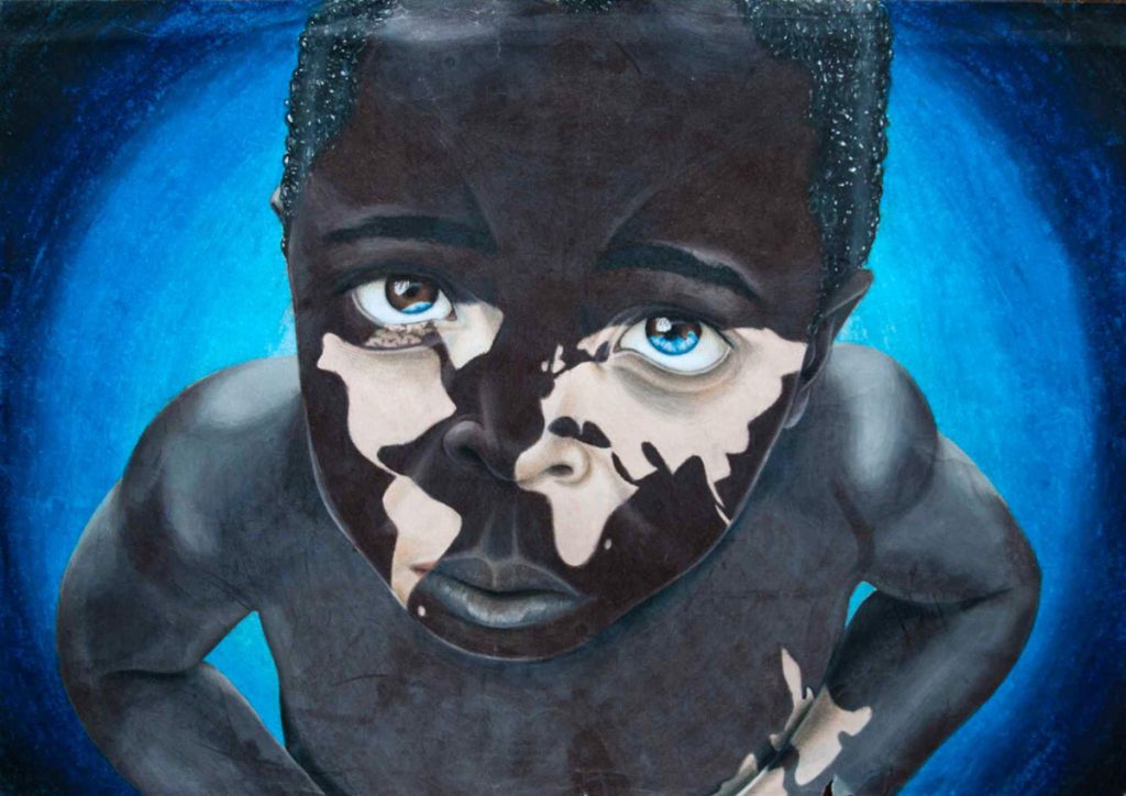
We Love Maps by Ioana Larisa Guriţǎ (13)

1st: We Love Maps by Ioana Larisa Guriţǎ (13)

Through a Child's Eyes by Rebecca Kneale & Akira McTavish-Huriwai (15)

2nd: Through a Child’s Eyes by Rebecca Kneale & Akira McTavish-Huriwai (15)

World Map by Micaela Mendoz (15)

3rd: World Map by Micaela Mendoz (15)


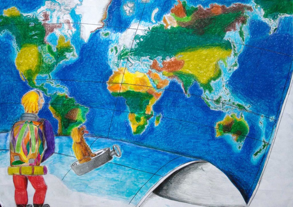
Winner of the public vote

Maps – Our Path for Exploration by Champ Turner (15)

Public vote: Maps – Our Path for Exploration by Champ Turner (15)


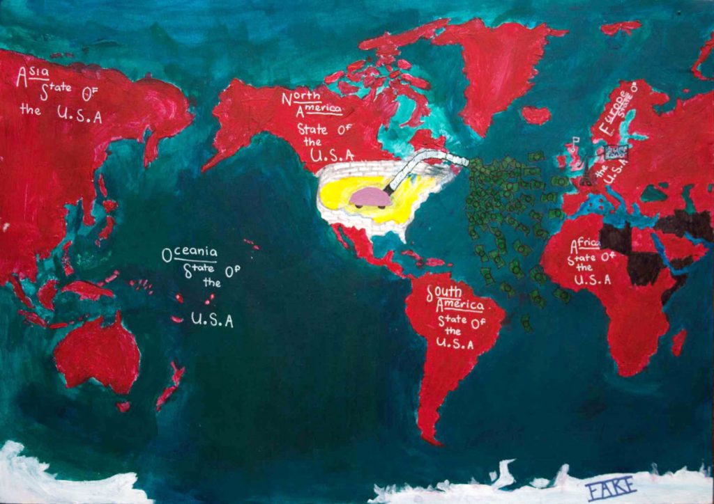
Creativity Award

The Creativity Award was presented for the first time this year by the ICA Commission on Art and Cartography.

Trumps World by Phoebe McClean

Creativity Award: Trumps World by Phoebe McClean

Friends by Urtėja Kardašiūtė

Creativity Award: Friends by Urtėja Kardašiūtė

Jury

The jury members were

Members of the jury

  • Pilar Sánchez-Ortiz Rodríguez, Spain – Chair
  • Ana María Garra, Argentina
  • Paulo Menezes, Brazil
  • Temenoujka Bandrova, Bulgaria
  • Dariusz Dukaczewski, Poland
  • Necla Ulugtekin, Turkey
  • Naeema Al Hosani, United Arab Emirates
  • Rob Edsall, USA
  • Carla Sena, Brazil and Jesus Reyes, Hungary – Substitute Members
  • Peter van der Krogt, The Netherlands – International Coordinator


Congratulations to all winners! Also a huge thank you to all participating children, their parents, teachers and national organizers.

Honorary Fellowship for Timothy Trainor

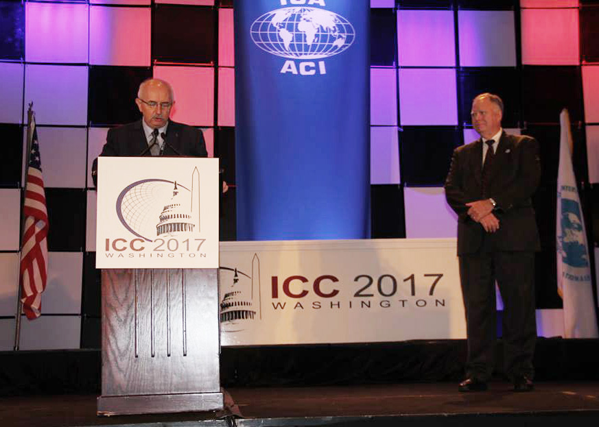
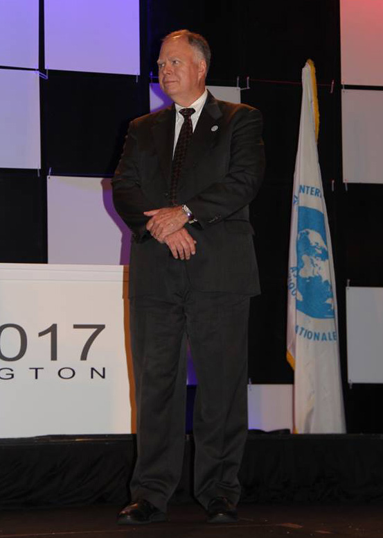
Timothy Trainor receiving the ICA Honorary FellowshipTimothy Trainor receiving the ICA Honorary FellowshipDuring ICC 2017, Timothy Trainor received the ICA Honorary Fellowship. Below you can read Laszlo Zentai‘s laudation:

Mr. Trainor began his ICA experience in 1987 as an active member of the Commission on National and Regional Atlases and has participated in the meetings, seminars, and workshops of the Commission. In 1995, he was selected as the Chair of the Commission and completed his term in 2007 in Moscow.

In 2007, Mr. Trainor proposed and became Chair of the ICA Census Cartography Working Group.

He also completed two terms as Vice President of the ICA in 2015. Since his term as Vice President ended, Mr. Trainor has continued to serve the ICA as a member of the Statutes and By-Laws Committee. In preparation for the 2015 ICC and General Assembly, Mr. Trainor encouraged the U.S. National Committee for the ICA to prepare a bid to host the conference in the United States. He has been an active participant of the Local Organizing Committee.

Timothy Trainor is the Chief of the Geography Division of the U.S. Census Bureau. As the Census Bureau’s chief geographer, he is responsible for directing all aspects of the division’s work related to development and implementation of geographic and cartographic activities for the United States and its territories.

He actively represented the ICA with the United Nations. Currently, Mr. Trainor represents the ICA by participating on the United Nations Initiative on Global Geospatial Information Management. He was elected for the co-chair of the UN GGIM Bureau in 2016.

Mr. Trainor is a member of the Geography Commission of the United States National Section of the Pan American Institute for Geography and History. He has also cultivated a close collaboration with the International Geographical Union leadership which has helped to strengthen collaboration between the two associations.

ICA Awards Ceremony at ICC2017

In the ICA Awards Ceremony at ICC2017, the following awards were presented in recognition of contributions to the ICA:

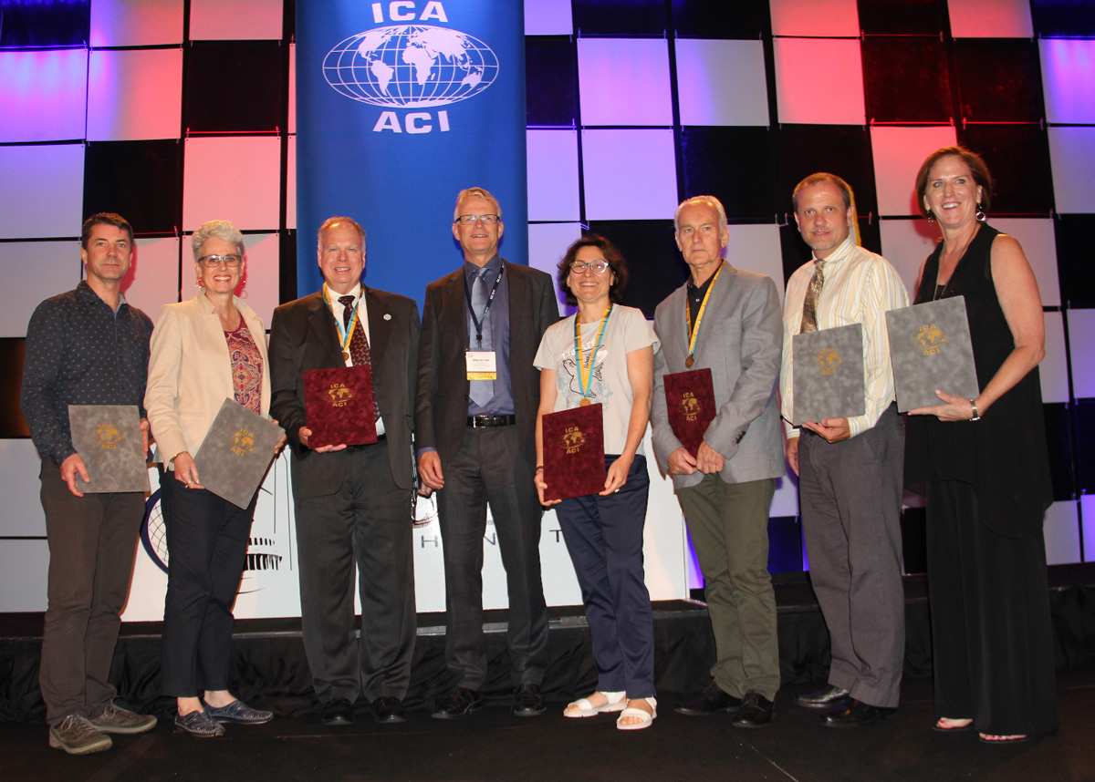
ICA Awardees 2017

From left to right: Igor Drecki, Cynthia Brewer, Timothy Trainor, Menno-Jan Kraak, Anne Ruas, William Cartwright, Matthew Rice, Aileen Buckley

ICA Honorary Fellowship

The ICA Honorary Fellowship is for cartographers of international reputation who have made special contribution to the ICA. It includes a bronze medal.

  • William Cartwright, Australia
  • Anne Ruas, France
    • Co-chair of the Commission on Generalization and Multiple Representation (2003–2007)
    • Vice-President (2007–2015)
    • President of ICC 2011, Paris
    • Editor of the International Journal of Cartography (2015–)
  • Timothy Trainor, USA
    • Chair or Co-chair of the Commission on National and Regional Atlases (1995–2007)
    • Chair of Census Cartography Working Group (2007–2011)
    • Vice-President (2007–2015)

Diplomas for outstanding services to ICA

The Diplomas for outstanding services to ICA are for colleagues who have made special contribution to the ICA as commission officers or conference organizers.

  • Igor Drecki, New Zealand
  • Aileen R. Buckley, USA
    • ICC2017 Organizing Committee member
  • Cynthia A. Brewer, USA
    • ICC2017 Organizing Committee member
  • Matthew Rice, USA
    • ICC2017 Organizing Committee member

 
Overview of ICA Awards presented at ICC2015

Congratulations to all awardees!

Welcome to ICC2017 in Washington, D.C. #icc2017dc

Today, the 28th International Cartographic Conference is opened in Washington, D.C., USA!

ICC 2017

After busy days with twelve well-attended pre-conference workshops, the main conference will be opened today with keynotes by Robert Cardillo, Tom Patterson, Dr. Lee Schwartz and Mikel Maron. More than 450 presentations in 160 sessions will follow in the next five days. You can download the conference program app by searching for “ICC2017” in the apple App store or on Google Play. The interactive online schedule is available at eventscribe.com/2017/ICC.

Later today, also the Exhibit, the International Cartographic Exhibition and the Children’s Map Exhibition will open. ICC2017 also hosted an Extraordinary General Assembly of the ICA, which took place yesterday. The results will be published on the ICA website soon.

To share your experiences and to stay up-to-date with everything happening at the conference, please use hashtag #icc2017dc.

Enjoy the conference!

Category: General News
Tag: ,

Programme of the ICC2017 Pre-Conference Symposium on Location-Based Social Media and Tracking Data is available

Symposium-header

The ICA Commission on Geospatial Analysis and Modeling and the ICA Commission on Location-Based Services are organizing a pre-ICC2017 symposium on location-based social media and tracking data.

The programme has just been published on the symposium at lbs.icaci.org. In total, we have accepted 27 oral presentations for the symposium. These presentations will be organized into 6 oral sessions, covering

  • theories and data models,
  • participation and user tasks,
  • traffic modelling,
  • analyzing human dynamics,
  • research applications using location-based big data and
  • place modelling.

After the symposium, a special issue of the International Journal of Geographical Information Science (IJGIS) is planned.

For more details regarding the symposium, please refer to http://gam.icaci.org/symposium2017/.

Looking forward to seeing you at the symposium.

– Huang Haosheng (LBS)
– Angela Yao (GAM)

An overview over the ICC2017 Pre-Conference Workshops

white-house-451544_1920-1180x450

Many ICA commissions use the days before the ICC conference for dedicated workshops on their fields of research. This year, the following workshops will take place:

Charting the Cosmos of Cartography: History – Names – Atlases

Meeting on Maps & the Internet, Ubiquitous Mapping and Education & Training

Mapping Tools for Non-Mapping Experts: Incorporating Geospatial Visualization Tools in Libraries

Different Fields – One Cartography

Supporting sustainable development with geoinformation management and modern maps: things you hardly consider

Workshop on Maps & Emotions

Workshop on Spatial Data Infrastructures, Standards, Open Source and Open Data for Geospatial (SDI-Open 2017)

Workshop on Generalisation and Multiple Representation

Symposium on Location-Based Social Media and Tracking Data

Critical Review on Using Developable Surfaces in Map Projections Theory & Standardization in Map Projections

  • Date: July 2
  • Location: Marriott Wardman Park Hotel, Washington, DC
  • Involved commission: Map Projections

Disaster Management, Big Data, Services and Cartographic Representation

Preserving Map Production Methodology Information

Final Call for Submissions ICC2017

icc2017-logoThe 28th International Cartographic Conference will take place in Washington, D.C., USA, 2–7 July 2017. Please submit abstracts and papers on mapping and geographic information science for the International Cartographic Conference by October 26, 2016.

The conference announcement PDF and list of themes can be found here.

To begin your submission, please look at the bottom of this webpage: icc2017.org/abstracts-full-papers-and-posters

white-house-451544_1920-1180x450

Category: General News
Tag: , ,
rawboned-refined