


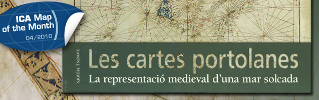
This month’s ICA Map of the Month is the map colletion Portolan Charts – The Medieval Representation of a Ploughed Sea (Les cartes portolanes. La representació medieval d’una mar solcada). It was published by the Inst. Cartogràfic de Catalunya. At the last ICC in Chile it was the “winner of the public vote”.
Get more information and have a look inside!
Category: General News