![]()
The LBS conference series started in 2002 in Vienna, Austria, initiated by Prof. Georg Gartner from TU Wien. Since 2015, it has become the annual conference of the ICA Commission on Location Based Services. In the past years, the LBS conferences travelled around the world – with venues in Hong Kong, Salzburg, Nottingham, Shanghai, Vienna, Augsburg, Zurich, Glasgow, and Munich.
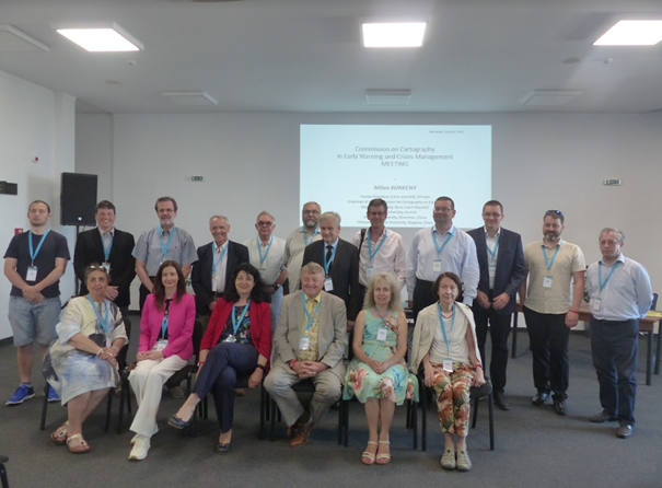
In 2023, the LBS conference was hosted by Ghent University, Belgium, on November 20-22, 2023. Around 90 participants from all over the world gathered in the historical city center of Ghent. The conference was opened by the Conference Chairs Prof. Haosheng Huang and Prof. Nico Van de Weghe.
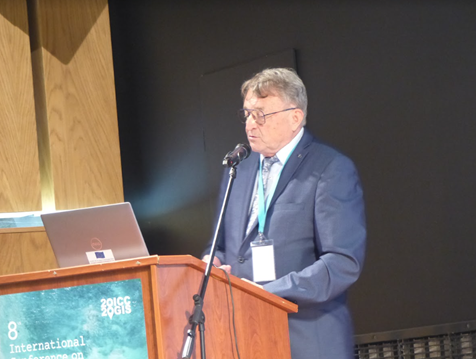
Opening session of the 18th International Conference on Location Based Services – LBS 2023 held in Ghent, Belgium
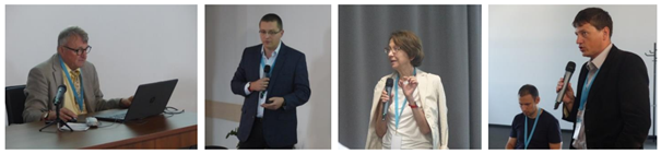
The conference featured five keynotes by Prof. Krzysztof Janowicz from University of Vienna, Bart Rosseau from Digitaal Vlaanderen, Prof. Wim Hardyns from Ghent University (UGent), Prof. Sofie Van Hoecke from UGent-imec, and Prof. Sidharta Gautama from UGent.
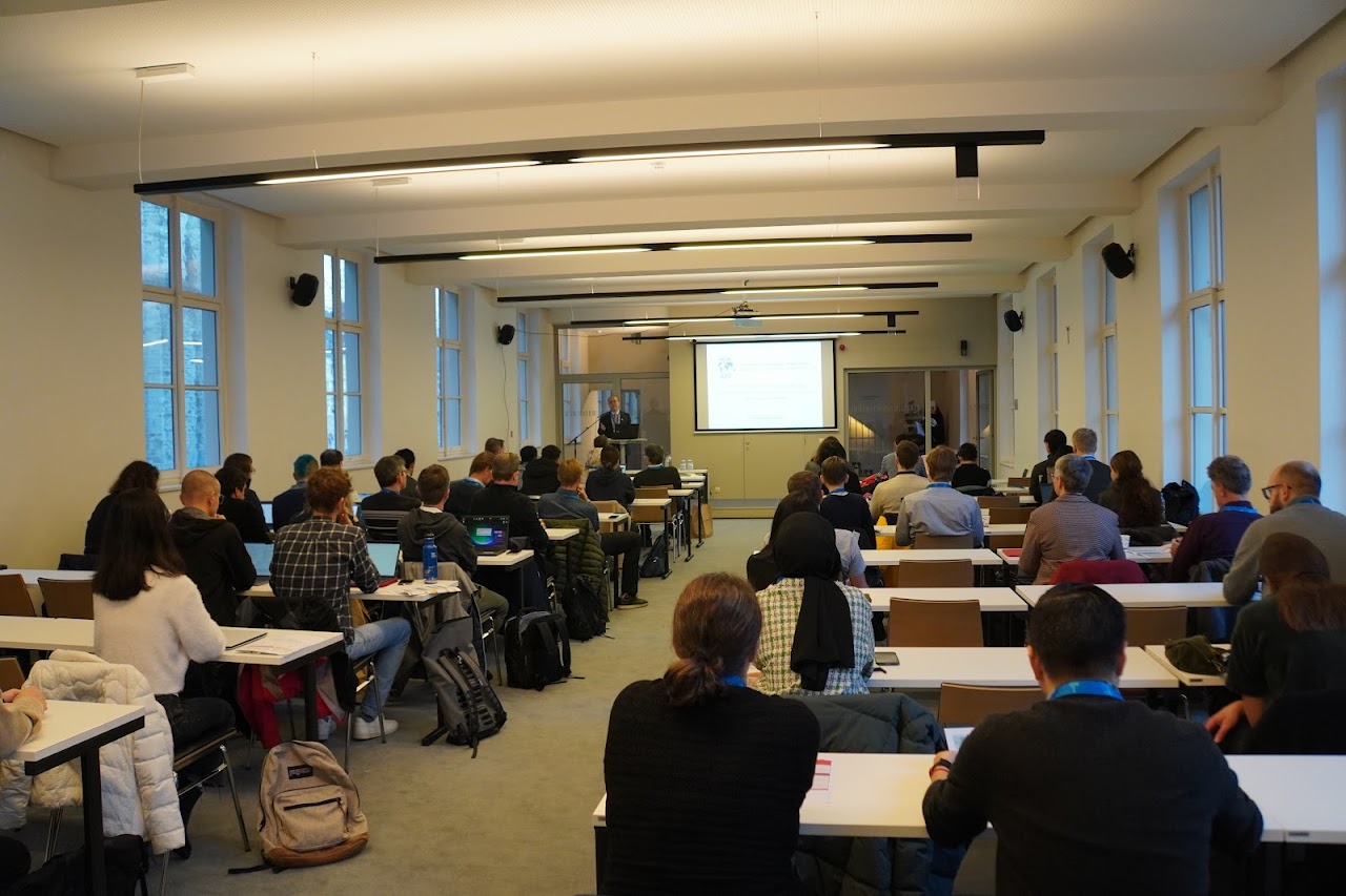
A total of 50 oral presentations have been given in 10 single-stream sessions over the two and half days. Another 4 showcases were presented all the conference. These oral presentations, showcases and posters provide a general picture of recent research activities related to the domain of LBS. Such activities emerged in the last years, especially concerning issues of GeoAI, outdoor/indoor positioning, smart environment, spatial modeling, personalization, context-awarenesss, cartographic communication, novel user interfaces, crowdsourcing, social media, big data analysis, usability and privacy.
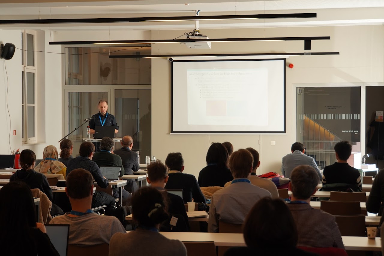
Oral sessions of LBS 2023
Opening session of the 18th International Conference on Location Based Services – LBS 2023 held in Ghent, Belgium
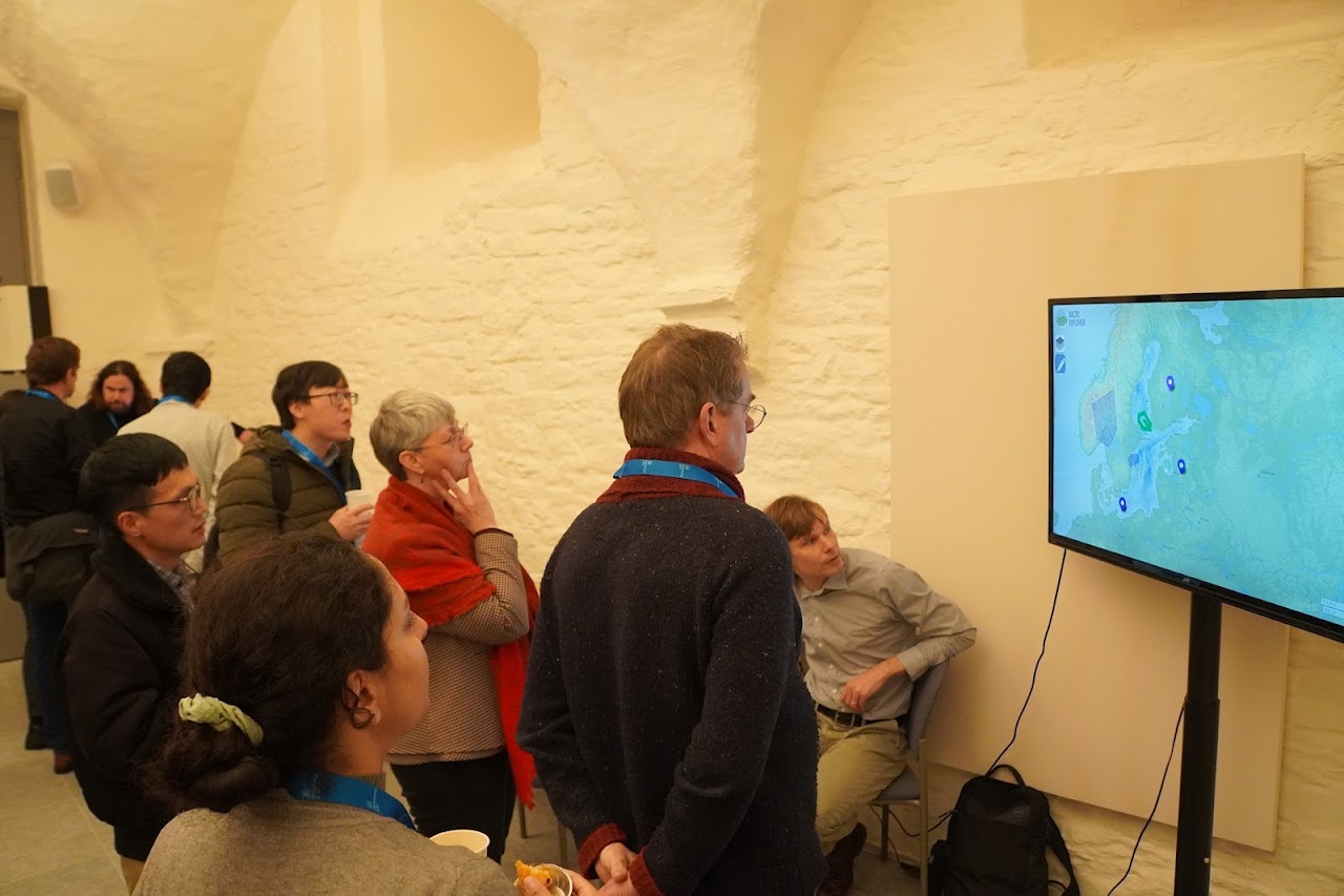
Showcases at LBS 2023
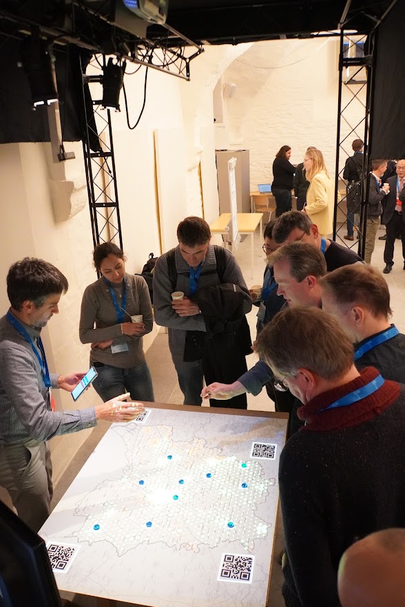
Showcases at LBS 2023
The conference also featured a “Best paper session” on the 3rd conference day.
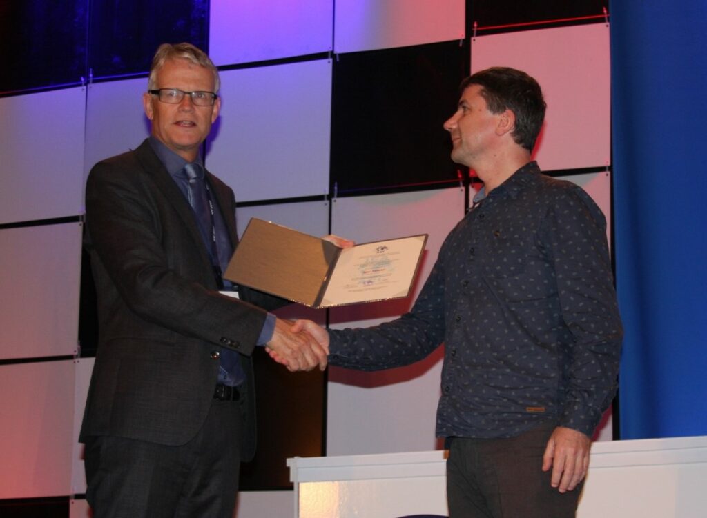
- The best full paper award at LBS2023 went to Eva Nuhn, Kai Hamburger and Sabine Timpf from University of Augsburg, Germany for their full paper on “Mapping olfactory cues for wayfinding – A theoretical approach and an empirical study”.
- The winner of the best short paper award at LBS2023 is “Towards Personalized Pedestrian Route Recommendation Based on Implicit Visual Preference”, authored by Lin Che, Martin Raubal and Peter Kiefer from ETH Zurich.
With the co-sponsoring of ESRI BeLux and ISPRS International Journal of Geo-Information, we were also happy to offer Travel Grants to support 7 young researchers to participate in the conference.
A selection of peer-reviewed full papers will be published in the Journal of Location Based Services. Accepted work in progress submissions are included in the conference online proceeding.
Besides the technical and scientific program, the conference provided several social networking opportunities, including an ice-breaker reception on the first day and a conference dinner in a traditional restaurant with famous Ghent cuisine on the 2nd day.
More details and photos regarding LBS 2023 can be found at lbs2023.lbsconference.org.