Welcome to the International Cartographic Association
Welcome to the website of the International Cartographic AssociationGet to know the new ICA Executive Committee for the term 2023-2027Get to know the ICA Commissions for the term 2023-2027
Welcome to the website of the International Cartographic Association
Get to know the new ICA Executive Committee for the term 2023-2027
Get to know the ICA Commissions for the term 2023-2027

Share your ideas on future research directions in the field of LBS

Map bulb - Your ideas on the future of LBS

The ICA Commission on Location-Based Services is currently starting an initiative to develop a cross-cutting research agenda for the field of Location-Based Services (LBS), aiming to identify key research questions and challenges that are essential for the LBS development in the next 5 or 10 years.

The details of the initiative are available at lbs.icaci.org/research-agenda

Inspired by the ICA workshop Envisioning the Future of Cartographic Research organized by several sister commissions (Cognitive Visualization, Use and User Issues, Geovisualization and Map Design), the process of producing this research agenda will be designed as a joint activity of the LBS research community:

  1. We invite all interested parties to write a one paragraph proposal to describe what they believe are the “big problems” that should be addressed to bring LBS research on a higher level.
  2. The commission chairs together with several invited experts will then examine, classify, and group these proposals, and provide a first list of “key problems”. The list will be circulated to the LBS research community, and we will then invite everyone to write a one-page position paper to further develop cross-cutting research directions and plans toward these “key problems”.

Important Dates:

  • 15 July 2016, deadline for one paragraph proposals of “big problems” in LBS. Please submit your proposal here.
  • 20 August 2016, publication of the selected “key problems” on the commission website
  • 1 October 2016, deadline for expression of interest in writing a one-page position paper
  • 1 November 2016, deadline for one-page position papers

We are exploring the possibility of having a workshop, preceding the LBS conference 2016 in Vienna, to discuss these position papers and the cross-cutting research directions.

We are looking forward to your input!

Haosheng Huang
– Chair of the Commission on Location-Based Services

Updates by the Commission on Cartography in Early Warning and Crisis Management

There are two upcoming events by the ICA Commission on Cartography in Early Warning and Crisis Management (CEW&CM):

The first one is a Seminar with EU Cooperation on Early Warning & Disaster / Crisis Management Topics as a part of the 6th International Conference on Cartography & GIS which will be held on 13–17 June 2016, Albena, Bulgaria, organized by the Bulgarian Cartographic Association and several ICA commissions.

big-data-early-warning

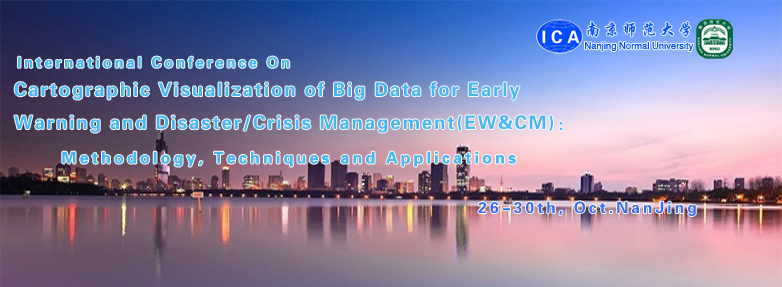
The second upcoming event is the International Conference on Cartographic Visualization of Big Data for Early Warning and Disaster / Crisis Management (EW&CM): Methodology, Techniques and Applications, organized by the Department of Geography of the Nanjing Normal University and the ICA Commission Cartography for Early Warning and Crises Management, 27–31 October 2016 in Nanjing, China.

Both events welcome cooperations with other commissions.

– Milan Konecný
Chair of the ICA Commission on Cartography in Early Warning and Crisis Management

News from ICA Commission on Visual Analytics

A quick update on the two workshops that the ICA Commission on Visual Analytics is running this year:

Visually-Supported Computational Movement Analysis

cropped-Header_Blue-1

We have just published the list of accepted papers at the Visually-Supported Computational Movement Analysis (VCMA2016) workshop in Helsinki, Finland (14 June 2016). The contributions were excellent, promising a high-quality workshop. Stay tuned for final updates at the VCMA2016 website or on twitter (#VCMA2016) and join us for the workshop (registration details are on the website, and a side note that this is a co-located workshop with the AGILE2016 conference, which has the honour to have the ICA President, Prof Menno-Jan Kraak, as the keynote speaker).

Workshop website: viz.icaci.org/vcma2016

Understanding Spatial Data (Big and Small) with Visual Analytics

GIScience_2016_WorkshopHeader

Our second workshop, Understanding Spatial Data (Big and Small) with Visual Analytics (SpatialVA2016), will take place in Montreal, Canada (27 Sept 2016) and we are delighted to have two prominent scientists as keynote speakers: Prof Sheelagh Carpendale from the University of Calgary and Prof Alan MacEachren from Penn State University.

There is still time to contribute to this workshop: the deadline has been extended to 29 April 2016. So submit a contribution and join us in Canada for a great event.

Workshop website: http://viz.icaci.org/SpatialVA2016/


See you in Helsinki and Montreal!

– Urska Demsar & Anthony Robinson

News from the ICA Commission on Cartographic Heritage into the Digital

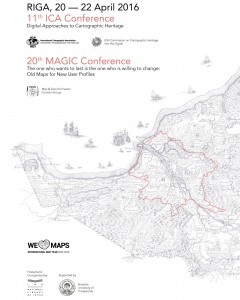
11th ICA Conference on Digital Approaches to Cartographic Heritage

Conference poster

Conference poster

The 11th ICA Conference on Digital Approaches to Cartographic Heritage to be held in Riga, 20–22 April, hosted by the National Library of Latvia, collects so far more than 80 participants representing 70 institutions from 27 countries from Europe, USA, China and Japan and 53 papers for oral presentation in 8 working sessions (see the conference programme flyer).

This conference is organised jointly with the 20th Conference “The one who wants to last is the one who is willing to change: Old Maps for New User Profiles” of the Map & Geoinformation Curators Group which is a Cartoheritage Commission strategic partner since 2014. The Conference Proceedings (ISSN 2459-3893) will be available in digital form, during the conference. The keynote speaker representing the ICA Executive Committee is Past-President Georg Gartner.

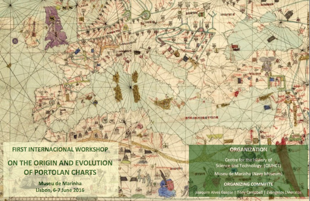
First Workshop on the Origin and Evolution of Portolan Charts

Lisbon_portolans

The ICA Cartoheritage Commission is also actively participating in the First Workshop on the Origin and Evolution of Portolan Charts to be held in Lisbon, 6–7 June 2016, organised by the ICHST – Interuniversity Centre for the History of Science and Technology and hosted by the Navy Museum of Portugal. World experts on this fascinating and still “intriguing” issue of cartography will present 20 papers in a solidly designed programme (see the workshop programme flyer).

The interesting point in this event is that the speakers come from both the sciences and the humanities fields, dealing equally with technical and historical viewpoints on portolan charts and charting. A concluding round table discussion will be based on the ICA Cartoheritage Commission’s chair Evangelos Livieratos contribution “Analyzing the geometric content of old maps: smooth operational approaches and the Digital Humanities perspective”.

Evangelos Livieratos,
Chair of the ICA Commission on Cartographic Heritage into the Digital

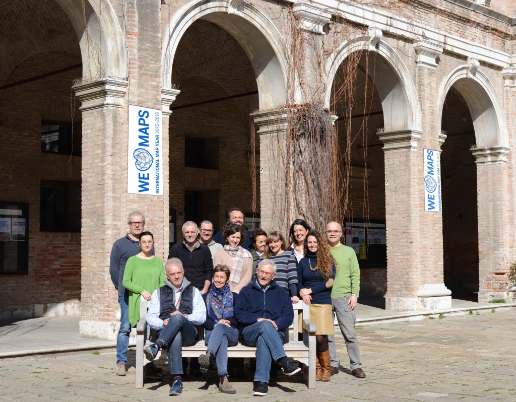
Evangelos Livieratos, currently visiting professor at the University IUAV of Venice, with colleagues from the ICA Cartoheritage Commission supporting IUAV Labs of photogrammetry and cartography & GIS.

Evangelos Livieratos, currently visiting professor at the University IUAV of Venice, with colleagues from the ICA Cartoheritage Commission supporting IUAV Labs of photogrammetry and cartography & GIS


Invitation to the 13th International Conference on Location-Based Services

lbs2016_logoThe ICA Commission on Location-Based Services and the Vienna University of Technology are pleased to invite you to the 13th International Conference on Location-Based Services (LBS 2016), which will take place in Vienna on November 14–16, 2016.

Built on the success of previous conferences in this series, LBS 2016 aims to offer a platform for scholars, researchers, and industry/market operators from various disciplines and practice to meet, interact and exchange knowledge, experience, plans and ideas on how LBS can and could be improved and on how it will influence both science and society.

lbs2016_background

The Call for Papers is currently open. Deadlines for submission are June 1 for full papers, July 1 for work in progress, and September 18 for showcases. High-quality submissions are intended to be published in the Journal of Location Based Services and in a book of the Springer series Lecture Notes on Geoinformation and Cartography. More information can be found at lbsconference.org.

We are looking forwards to your contributions and to meeting you in Vienna!

Haosheng Huang
– Chair of the Commission on Location-Based Services

Tag: ,

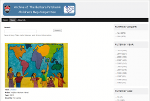
A new website for the Archive of the Barbara Petchenik Map Competition

Archive of the Barbara Petchenik Competition

Archive of the Barbara Petchenik Competition

The website for the Archive of the Barbara Petchenik Map Competition was updated with a new design and new options to search data. The Barbara Petchenik Collection is maintained by the team working at the Maps, Data & Government Information Centre of the Carleton University Library in Ottawa, Canada. Through this website, users can search and browse through all children map entries since 1993. The address of the website remained the same: https://childrensmaps.library.carleton.ca

Our most sincere congratulations for Joel Rivard, Sherri Sunstrum and Sylvie Lafortune for their very valuable work!

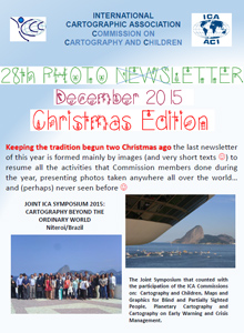
28th Newsletter of the Commission on Cartography and Children

ica_cc_27

The December 2015 issue of the newsletter of the Commission on Cartography and Children is available for download.

Keeping the tradition begun two Christmas ago, the last newsletter of this year is mainly formed by images and very shorts texts to resume all activities of the commission members during this year and presenting photos taken all over the world.

Invitation to the 6th International Conference on Cartography & GIS

iccgis2016_Banner_620x350px_RGB

6th International Conference on Cartography & GIS
& Seminar with EU cooperation on Early Warning and Disaster/Crisis Management

Albena, Bulgaria, 13–17 June 2016

After very successful events in 2006, 2008, 2010, 2012 and 2014, the 6th edition of the International Conference on Cartography and GIS (ICC & GIS) is organized in Bulgaria.

The aim of the conference is to collect knowledge and share experience about the latest achievements in the field of cartography and GIS. Particular attention is paid to the important European region – the Balkan Peninsula. Last conferences were very influential for public administrations and we would like to enhance this trend also in 2016, when the situation in Europe and especially in Balkan countries is very complicated, e.g. facing the immigrant crises could be improved with support of our technologies.

The ICC & GIS conference is organized by the International Cartographic Association (ICA), the Bulgarian Cartographic Association and the University of Architecture, Civil Engineering and Geodesy, Sofia, Bulgaria.

As a part of the conference several other events will be held during 13–17 June:

Deadlines

  • Deadline for abstract submission: 10 January 2016
  • Payment of early registration fee: 29 January 2016
  • Final full paper submission and payment of regular registration fee: 1 May 2016

Proceedings will be registered in SCOPUS and Web of Science.

Conference website

The Call for Papers can be found on iccgis2016.cartography-gis.com, including information on registration, programme and accommodation.

Proceed to the conference website

Tag: ,

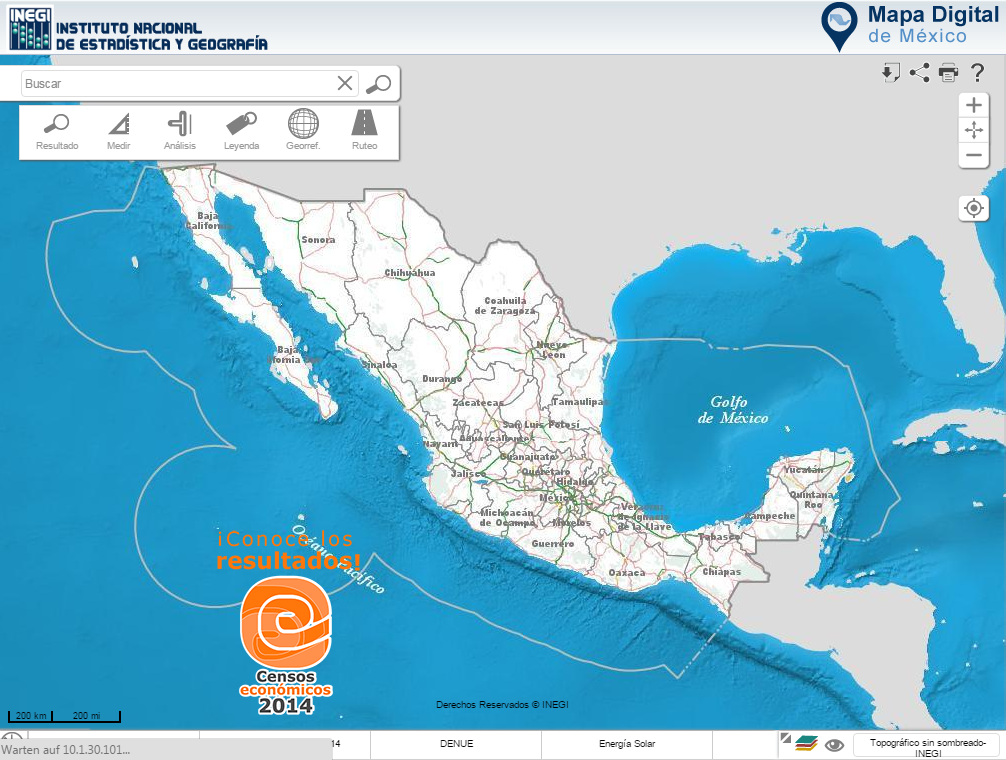
GeoSUR award to the Digital Map of Mexico

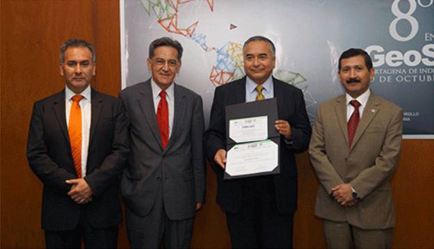
During the 8th GeoSUR Meeting, held in Cartagena de Indias, Colombia, the Digital Map of Mexico developed by INEGI (national member of ICA in Mexico), was awarded.

digitalmap-mexico

GeoSUR is a program that maintains a network of geographic information in Latin America and the Caribbean where eighty participating institutions operate map services that are currently linked to the regional portal. The award recognizes data application, service development, or geospatial information products having particular characteristics of innovation and relevance. In this edition, it was awarded the Digital Map of Mexico, given its easy access and its use of spatial data – aspects that stood out among the various proposals in the competition.

Mr. Carlos Guerrero, Director General of Geography and Environment of INEGI-Mexico, showing the 2015 GeoSUR award, given to the Digital Map of Mexico. On his right Santiago Borrero, GeoSUR Program Coordinator and on his left Rodrigo Barriga, Secretary General of the Pan-American Institute of Geography and History (PAIGH).

Mr. Carlos Guerrero, Director General of Geography and Environment of INEGI-Mexico, showing the 2015 GeoSUR award, given to the Digital Map of Mexico. On his right Santiago Borrero, GeoSUR Program Coordinator and on his left Rodrigo Barriga, Secretary General of the Pan-American Institute of Geography and History (PAIGH).

On behalf of INEGI, the award was accepted by geographer Carlos Guerrero Elemen and Director General of Geography and Environment, who also presented three papers: Progress in Caribbean Project (proposal by the National Section in Mexico); Integrating Statistical and Geographical Information, and Open Geospatial Data by INEGI.

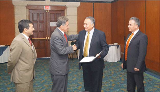
Mr. Carlos Guerrero, receiving the 2015 GeoSUR award from Mr. Santiago Borrero Mutis.

Mr. Carlos Guerrero, receiving the 2015 GeoSUR award from Mr. Santiago Borrero Mutis.

Category: Member News

Save the Date & Call for Papers: 6th International Symposium on the History of Cartography

dubrovnik_History-of-Cartography1

The Dissemination of Cartographic Knowledge:
Production – Trade – Consumption – Preservation

Dubrovnik (Croatia), October 13–14, 2016

The ICA Commissions on the History of Cartography, Map Production & Geoinformation Management, Use, User & Usability Issues and the Institute of Social Sciences Ivo Pilar (Zagreb, Croatia) invite the submission of abstracts for papers and posters for a joint conference in Dubrovnik (Croatia), the medieval port city on the coast of the Adriatic and UNESCO World Heritage Site. The symposium and planned optional excursions are open to cartographers, geographers, historians, map collectors, academics and everyone with an interest in the diverse aspects of the history of cartography.

The Call for Papers can be found at the conference website histacartodubrovnik2016.com, including information on registration, programme, transportation and accommodation.

Questions regarding the conference and call for papers can be send to: Dr. Mirela Altic

dubrovnik

Tag: ,
rawboned-refined