Welcome to the International Cartographic Association
Welcome to the website of the International Cartographic AssociationGet to know the new ICA Executive Committee for the term 2023-2027
Welcome to the website of the International Cartographic Association
Get to know the new ICA Executive Committee for the term 2023-2027

President’s Blog: Thanks for a great ICC2023

Dear ICA Colleagues,

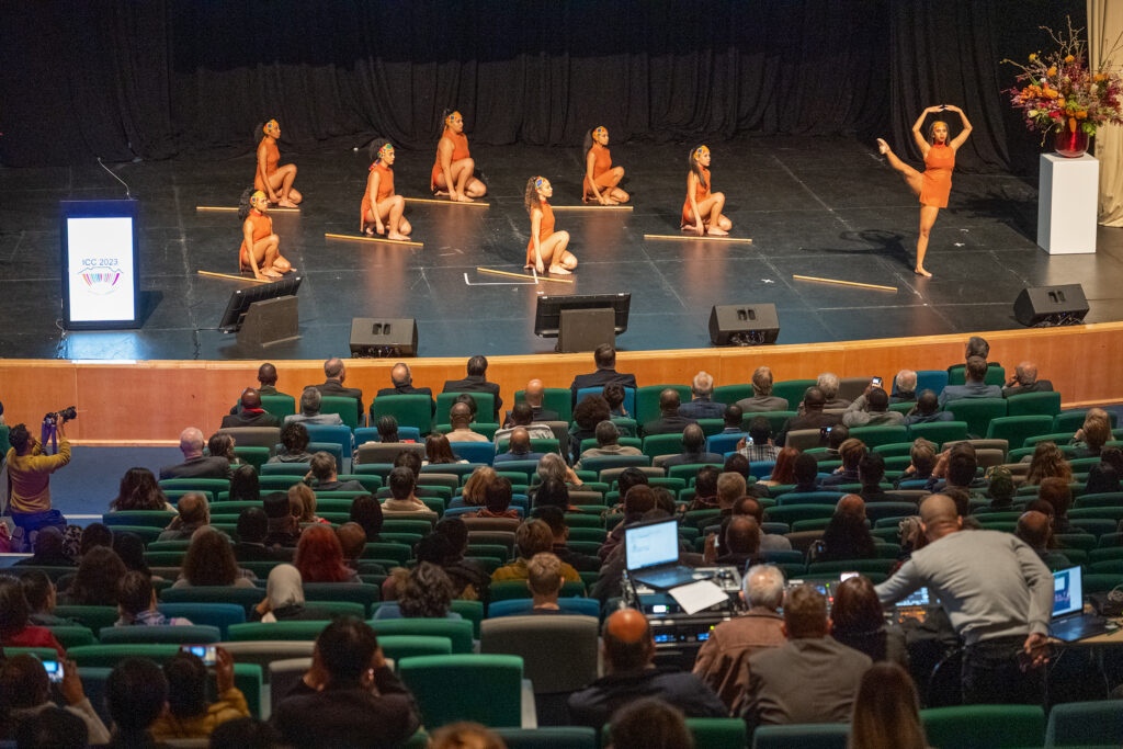
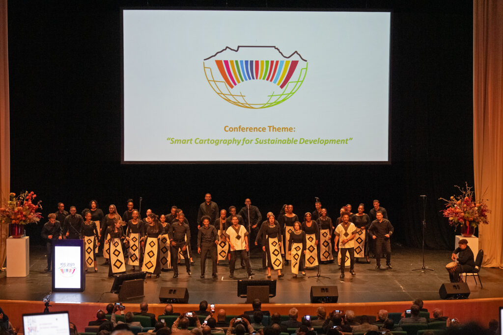
Many friends just completed their participation in the 31st International Cartographic Conference (ICC) in Cape Town South Africa. It was a highly successful conference. We will offer different highlights with accompanying photographs to share with everyone in future blog posts. The opening ceremony was full of local South African culture interspersed with messages from the Minister of Agriculture, Land Reform and Rural Development, the National Research Foundation of South Africa and Sister Society representatives including the International Hydrographic Office. There were 845 delegates to the ICC, a higher number than anticipated. This was due in part to representation by 33 African countries. The high number was made possible by a concurrent meeting of Africa Region of the United Nations Committee of Experts on Global Geospatial Information Management (UN-GGIM) and workshops offered by the SDG Data Alliance where both organizations took part in various aspects of the ICC program, including the five interesting keynote presentations. The conference was book-ended by the 19th General Assembly for the ICA. More on that in a future blog.

Tim Trainor
Immediate Past President


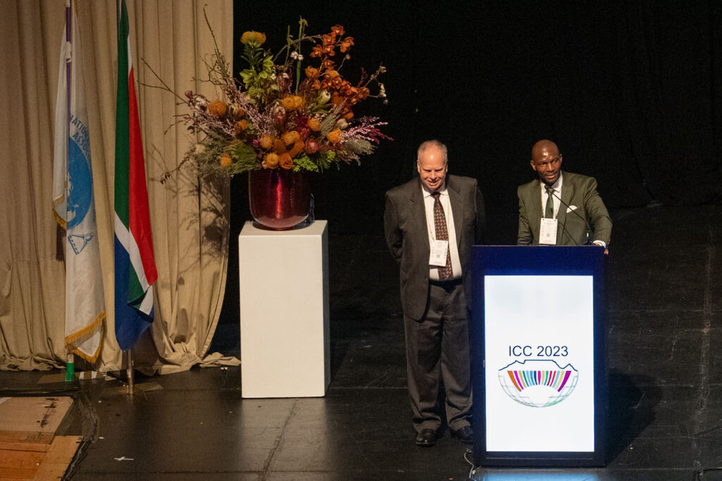
Tim Trainor, President of ICA and Morena Letsosa, President of ICC2023 at the Opening Ceremony
ICC2023 Opening Ceremony
Photos by Stephan Wondrak – thanks!

Passing of Igor Drecki, Editor, ICA News

Editor ICA News Igor DreckiIt is with a heavy heart that I inform our ICA community of the tragic passing of our dear friend and colleague, Igor Drecki from New Zealand, and his wife, Iwona. Igor served with distinction as the Editor of ICA News. Igor will be sadly missed by all. Our condolences go out to the family of Igor and Iwona. More details to follow as we learn them.

– Tim Trainor
President of the International Cartographic Association

President’s greetings: New Year’s Greetings for 2023

Despite numerous global crises including wars, which of course have affected us and some of our members greatly, this last year has also been fulfilling for the ICA. As we began to emerge from the pandemic throughout the year, more ICA activities became prominent as some of us were able to travel to meet one another once again. In future blogs, I will highlight a few of those events to bring everyone up-to-date. Currently, our colleagues in South Africa are very busy planning the next General Assembly and the 31st International Cartographic Conference in Cape Town from August 13–18, 2023. The ICA Executive Committee and the ICC2023 Local Organizing Committee are looking forward to seeing you in the beautiful city of Cape Town. And please, don’t forget to send in your abstract, if you want to present and share your scientific work in Cape Town. The deadline is 16 January 2023: https://icc2023.org

For the moment, on behalf of the ICA Executive Committee, we want to wish you and your family, colleagues, and friends peaceful holidays and all the best for 2023! We are looking forward to a very productive time with you in the coming year.

– Tim Trainor
President of the International Cartographic Association

Tag:

Obituary: Eddy Lynn Usery

On March 22, 2022, the world lost a GIS giant and cartography compadre when Dr. E. Lynn Usery, current Chair of the ICA Commission on Map Projections and former ICA Vice-President, passed from this earthly plane. Not even a week earlier, Lynn was busily planning workshops for AutoCarto 2022. He will be sorely missed by ICA and our community, not only for his many research contributions, leadership and vision, and tireless service, but also for his friendship and camaraderie.

Michael Tischler of the U.S. Geological Survey (USGS) wrote, “On paper, we knew him as the Director of the Center of Excellence for Geographic Information Science [CEGIS]. But he was far more than that title would lead one to believe. Lynn leaves a remarkable legacy given his extraordinary scientific accomplishments, presence as a leader in the geographic science community, and impact on individual geographic scientists inside USGS and around the world.”

It’s a challenge to specify the impact that Lynn has had on the field of GIScience because of the breadth and depth of his involvement and contributions. He was centrally involved in many areas of the discipline, including cartography, GIS, remote sensing, and spatial analysis. His eclectic research interests included digital cartography, map projections, scale and resolution, image classification, temporal GIS, geospatial semantics and ontology, and high-performance computing for geospatial data. It would be difficult to name a subject in our field about which Lynn could not speak knowledgably and insightfully.

Lynn was unique in that his impact came through his careers in both government and academia. Lynn started working for the USGS in 1977. He was a cartographer and geographer for the USGS from 1978 to 1988 focusing on developing automated cartographic production systems. In 1988, he took on a geography faculty position at the University of Wisconsin (UW) – Madison. In January of 1994, he moved to Georgia to serve on the geography faculty at the University of Georgia (UGA). In May of 1999, Lynn took on a Research Geographer position with the USGS in addition to his academic job at UGA. In 2005, he returned to USGS and ultimately conceived and became Director of CEGIS. In this role, he directed the science program and the visions and plans for topographic mapping research. While at USGS, Lynn also taught remote sensing at the Missouri University of Science and Technology.

In all his positions, Lynn was a ground breaker. In his early days at USGS, he began the development of digital mapping systems for the automated production of printed topographic maps. At UW, he helped found a GIS program. At UGA, he helped establish certificate programs in GIScience at both the undergraduate and graduate levels. When he returned to USGS, he started a cartography research program that led to CEGIS. For CaGIS, he chaired AutoCarto 2005 to close an eight-year gap and resurrect the symposium series. He also spearheaded the effort to bring the International Cartographic Conference back to the United States for only the second time, the first being in 1978.

Lynn was involved in multiple activities of the ICA:

  • 2004–2008 US National Committee to the ICA member
  • 2007–2011 ICA Map Projections Commission Secretary
  • 2007–2015 US National Committee to the ICA Chair
  • 2011–2012 ICA Technology Outreach Working Group Chair
  • 2011–2015 ICA Map Projections Commission Vice Chair
  • 2011 Bid for ICC 2017
  • 2012–2017 ICC 2017 Conference Organizer
  • 2015–2019 ICA Vice President
  • 2018–2019 ICA Body of Knowledge for Cartography Working Group Chair
  • 2019–2022 ICA Map Projections Commission Chair

That Lynn was so involved in the association is admirable. That he did the same with many other societies, at the same time, makes Lynn exceptional and unparalleled. There is truly no match for him in this regard, and really not even anyone in the running. No other person has been elected vice-president of the ICA, president of the Cartography and Geographic Information Society (CaGIS), president of the American Society for Photogrammetry and Remote Sensing (ASPRS), and president of the University Consortium for Geographic Information Science (UCGIS), as Lynn was in 2015, 2002, 2004, and 2015, respectively. Additionally, as with the ICA, in all these associations, he also served in other roles.

On a personal note, Lynn was born in December 1951. He had two children, a son Kelynn, born 1986, and a daughter, Lacy, born 1988. Lynn received his BS in geography from the University of Alabama and MA and Ph.D. degrees in geography from UGA. He died Tuesday, March 22, 2022, after a brief illness.


Tim Trainor, President of ICA &
Aileen Buckley, U.S. national representative to ICA
International Cartographic Association Statement on Ukraine

The International Cartographic Association expresses its shock and dismay at the incursion by Russia into the sovereign state of Ukraine. Violation of a sovereign nation is unacceptable. Without provocation, innocent victims within the borders of Ukraine suffer unbearable intrusion and danger causing loss of life, intolerable pain and suffering on children, women and men, mass migrations to neighboring countries, and unnecessary destruction of property. The violent interruption of normalcy undermines global security and stability for every part of our world watching these horrible events unfold.

The International Cartographic Association calls for an end to all actions stemming from the forceful intrusion of Ukraine’s borders and a resolution for restoring the sovereignty of Ukraine and its people. The International Cartographic Association is in solidarity with the people of Ukraine and specifically with cartographers in both Ukraine and Russia who can contribute to protecting the sovereignty of Ukraine while beginning a path back to normalcy.

Category: General News

President’s Blog #13d: Meeting with Members & Sister Societies during the 30th ICC

Dear ICA Colleagues,

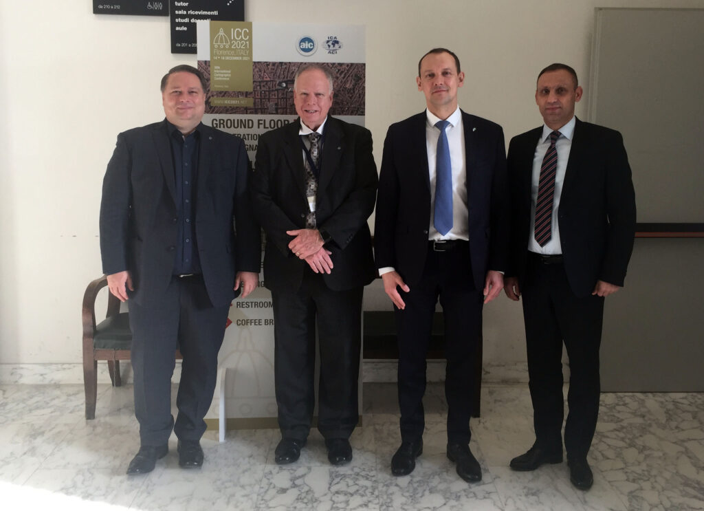
The in-person ICC2021 in Florence provided an opportunity to meet with ICA members, sister societies and others strengthening the ICA. The Secretary-General and Treasurer and I met with the top leadership from Rosreestr, Russia’s Federal Service for State Registration, Cadastre, and Cartography. Like many national mapping agencies, Rosreestr is responding to the technical, organizational, and data transformational adjustments required in our everchanging world. The information we shared enhanced the value in the all-day session at the ICC2021 that was organized for national mapping, geospatial and statistical agencies.

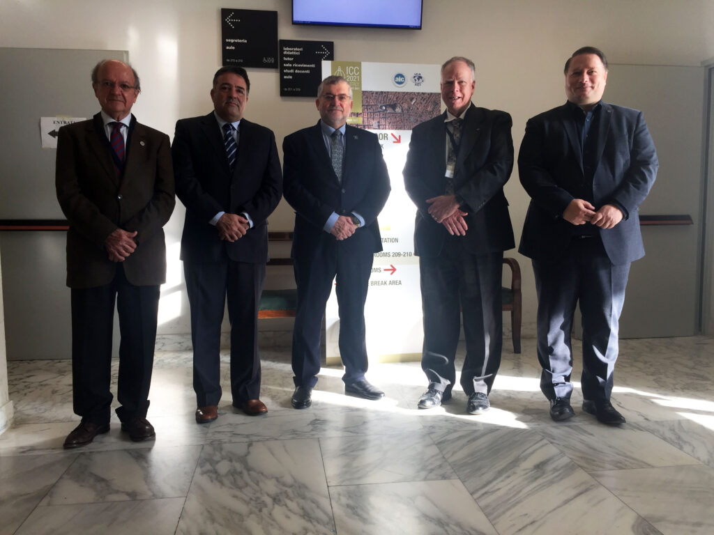
Meeting with Mr. Oleg Skufinskiy (2nd from right), Head of the Federal Service for State Registration, Cadastre and Cartography, and his team.

There is a long-standing bond between the ICA and the International Hydrographic Organization. We met with the Director and Assistant Director of the IHO where we agreed on the importance of the close collaboration between the two international organizations. Our colleagues from the IHO expressed their sincere appreciation to the ICA and the Local Organizing Committee for encouraging the in-person opportunities made possible during the ICC. Having the successful and safe in-person event serves as an example for other international organizations. We also committed to continue the immensely important responsibility to serve on the FIG/IHO/ICA International Board on Standards of Competence for Hydrographic Surveyors and Nautical Cartographers. This week also included a meeting with the International Map Industry Association where we shared common interests and opportunities for future engagement.

Lysandros Tsoulos (Vice-Chair of the ICA-IHO Commission on Marin Cartography), Leonel Manteigas (Assistant Director IHO), Abri Kampfer (Director IHO), Tim Trainor (President ICA), Thomas Schulz (Secretary-General and Treasurer ICA).

Lastly, we met with representatives from the UN in planning for the next ICC in Cape Town, South Africa in August of 2023. The conference theme “Smart Cartography for Sustainable Development” aligns very well with the geospatial priorities for the UN Committee on Global Geospatial Information Management (UN-GGIM). There are several potential collaborative possibilities between the ICA and the UN for encouraging participation during the ICC2023 from countries in Africa. As planning develops, check back on the ICA and ICC2023 websites for more details.

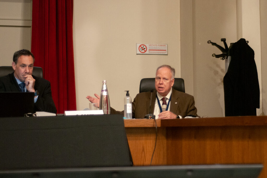
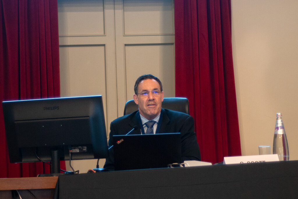
Greg Scott (United Nations) and Tim Trainor (President ICA) during a keynote speech on «Cartography In An Age Of Digital Transformation».

– Tim Trainor
President of the International Cartographic Association

Tag: ,

President’s Blog #13c: Final days and Closing from the 30th ICC

Dear ICA Colleagues,

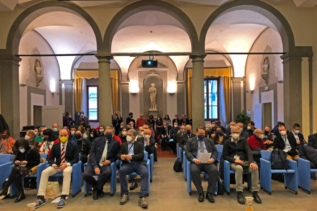
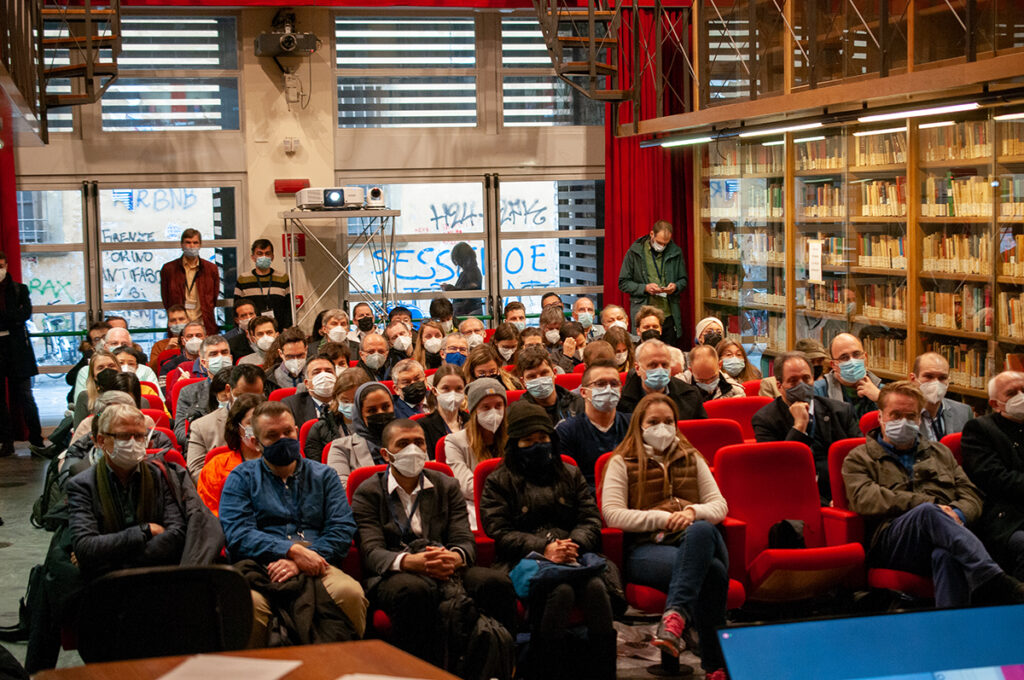
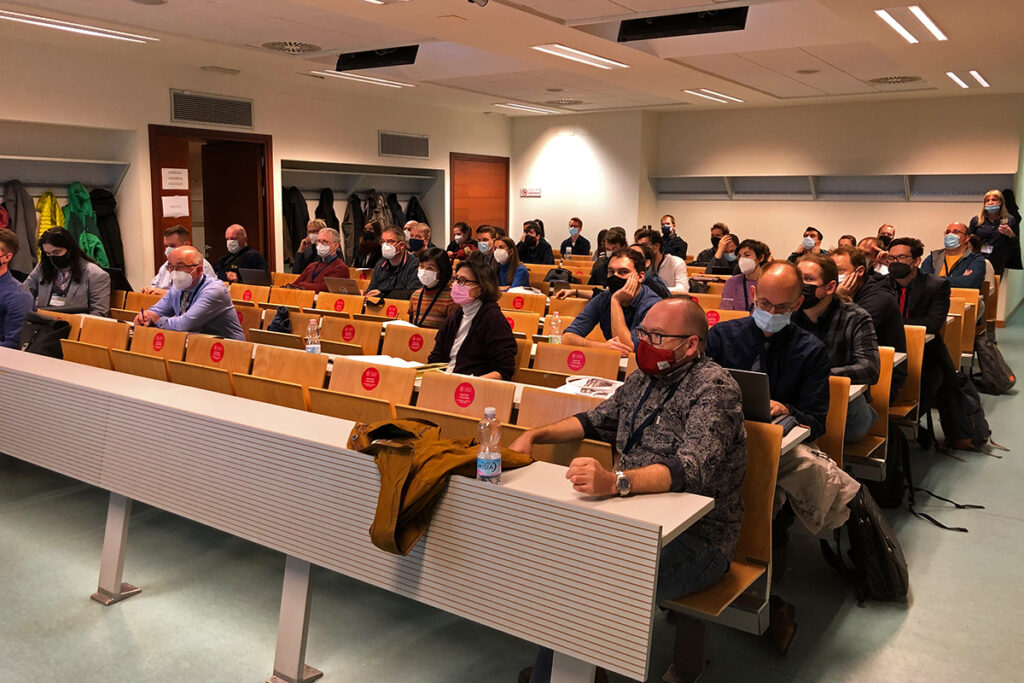
The 30th International Cartographic Conference was a resounding success! The courage of the Florence Local Organizing Committee (LOC) resulted in 630 participants who were able to benefit from a rich program in cartography and GIScience, with 309 colleagues in person. The program evidence included 563 submitted abstracts and papers, 16 of which are published in the ICA’s International Journal of Cartography. Other submissions are available in the conference proceedings. During the ICC, there were 4 special panel sessions and 80 technical sessions from which to choose.

The university venue made it possible for everyone to experience the scientific program while those in person had the added benefit of events that highlighted the beautiful art, history, and architecture of the Renaissance City. Most in person colleagues came from Europe. Other regions were represented by Chile, the United Arab Emirates, and the United States.

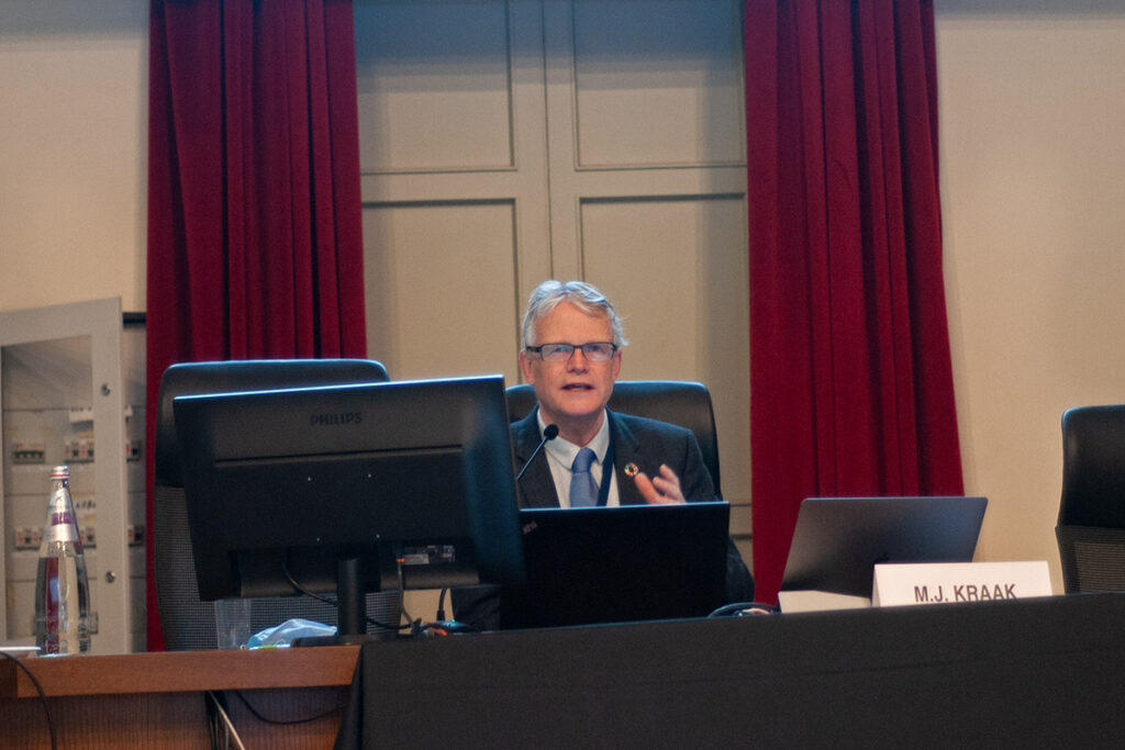
Two in-person keynotes were offered as, on the last full day, Professor Menno-Jan Kraak highlighted the successful collaboration between the United Nations and the ICA in the joint publication “Mapping for a Sustainable World.”

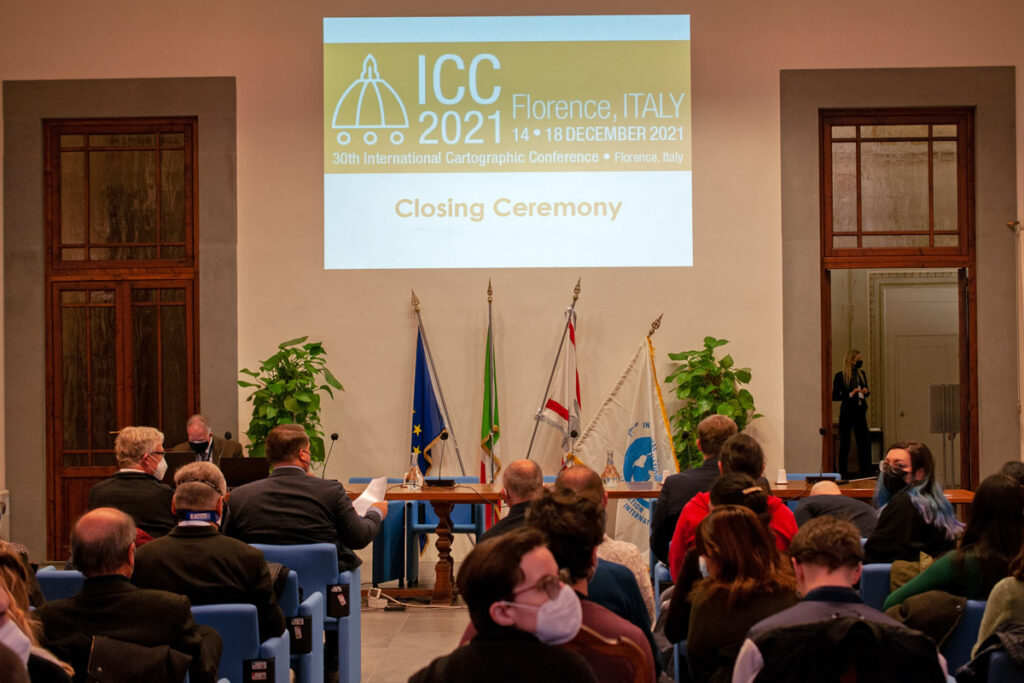
During the Closing Ceremony, Paola Zamperlin and Margherita Azzari offered summary details of the conference. This was followed by a series of ICA awards, the results of the International Cartographic Exhibition and recognition of ICA scholarship awardees, all of which will be shared in a subsequent blog. Professor Giuseppe Scanu, President of the Italian Cartographic Society, offered a vote of thanks to the Local Organizing Committee and supporters of the ICC.

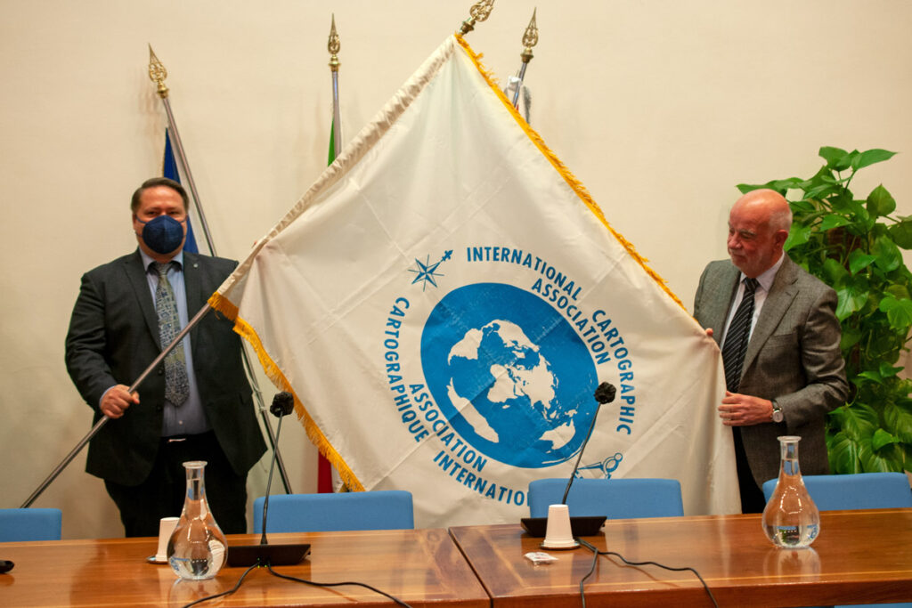
It was not possible for colleagues from South Africa to travel to Italy but that did not dampen their excitement for inviting all of us to Cape Town in 2023 for the 31st International Cartographic Conference and 19th General Assembly. The South Africa Committee offered a video enticing us to come along to Cape Town which was supplemented with a detailed presentation on what to expect and key dates to note which are now live on the ICC2023 website.

The Closing Ceremony concluded with a few remarks by your president on the successful implementation of this notable event due to the endurance of the LOC, the interest and dedication of the participants, and the appreciated support by the University of Florence, the host city, Florence, and region of Tuscany. We then bid farewell until the next time we meet.

– Tim Trainor
President of the International Cartographic Association


Photos by Stephan Wondrak – thanks!

Tag: ,

President’s Blog #13b: Thursday Update from the 30th ICC

Dear ICA Colleagues,

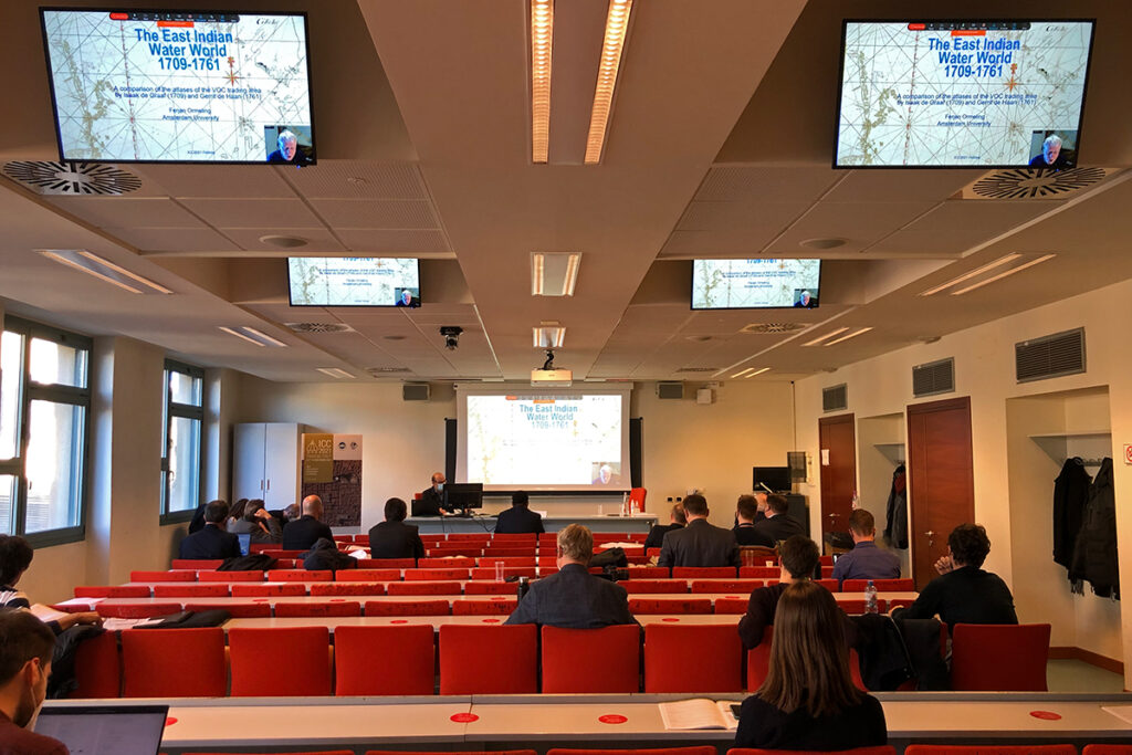
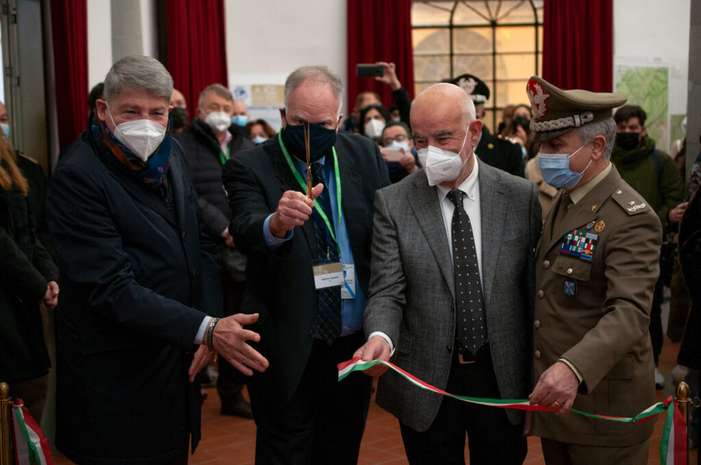
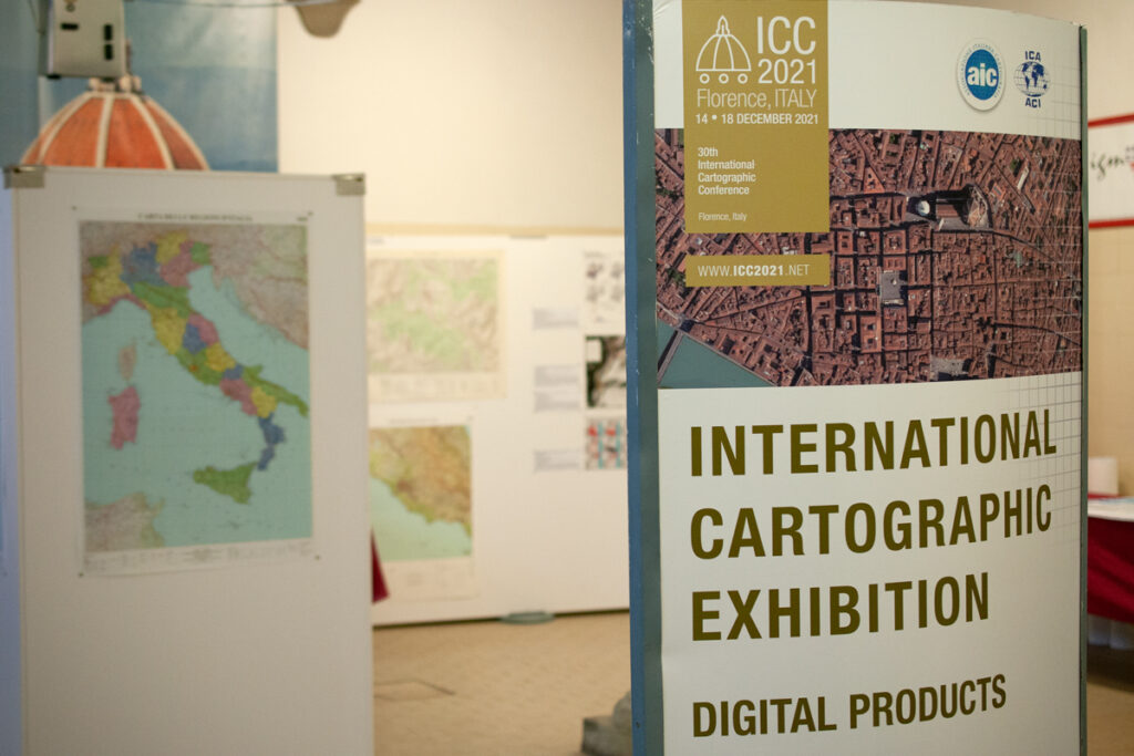
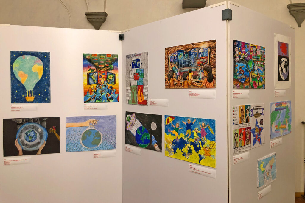
The halls of the University of Florence are lively with ICC conference goers as they move from one session to another while our colleagues on-line from distant lands present, observe, and participate in sessions of their choosing. Dependence on internet connections from near and far is not perfect in a hybrid environment, but most sessions appear to work well. The International Cartographic Exhibition opened on Monday at the Italian Military Geographic Institute as well as the Children’s Cartographic Exhibition at the Palazzo Medici Riccardi.

Two special sessions are highlighted in this blog. What was learned from the special session on “Geospatial Data, Dashboards, Analytics and Scientific Communication – Lessons Learned from the COVID-19 Pandemic”? While the achievements have had an unparalleled global impact, there are more questions than lessons learned. This is critically important work that demands for more attention. This discussion needs to continue.

A second special session convened for National Mapping, National Geospatial, and National Statistical Agencies where they experienced a day of collaboration and information sharing. The United Nations Secretariat for UN-GGIM presented details on the Integrated Geospatial Information Framework (IGIF) where resource information was shared that is available on the UN-GGIM website. Several developing countries have been testing comprehensive IGIF information and tools. The UK Ordnance Survey discussed a collaboration with Zambia that is a model for data sharing, resource enhancement, and technology transfer that offers potential further development and use. Lastly, while the recent ICA/UN publication “Mapping for a Sustainable World” focuses primarily on thematic mapping topics, NMAs, NGAs, and NSOs were challenged to use the book’s construct to expand beyond their traditional work environments and product offerings.

– Tim Trainor
President of the International Cartographic Association


Photos by Stephan Wondrak – thanks!

Tag: ,

President’s Blog #13a: Wednesday Update from the 30th ICC

Dear ICA Colleagues,

The 30th ICC is underway. On Monday, December 13, 16 Commissions had pre-conference workshops. Familiar and new faces began arriving which was such a pleasure where we engaged with our colleagues from around the world. Over 260 registrants were in person while even more registered for the on-line option where together, they represented over 60 countries.

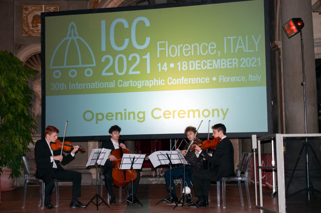
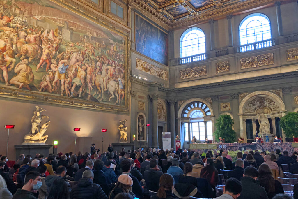
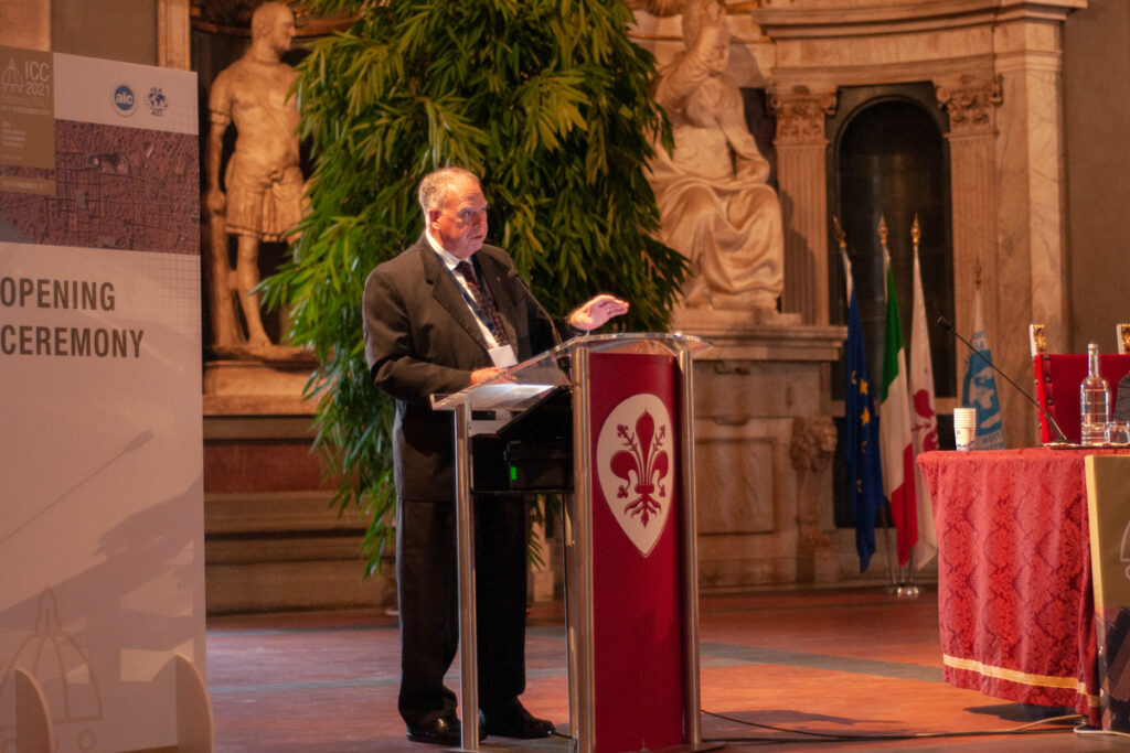
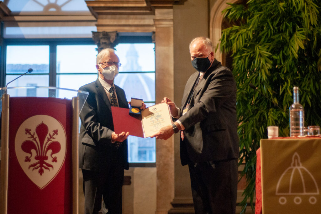
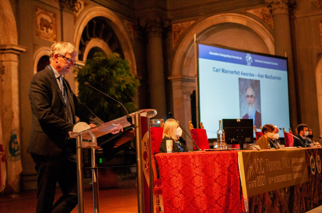
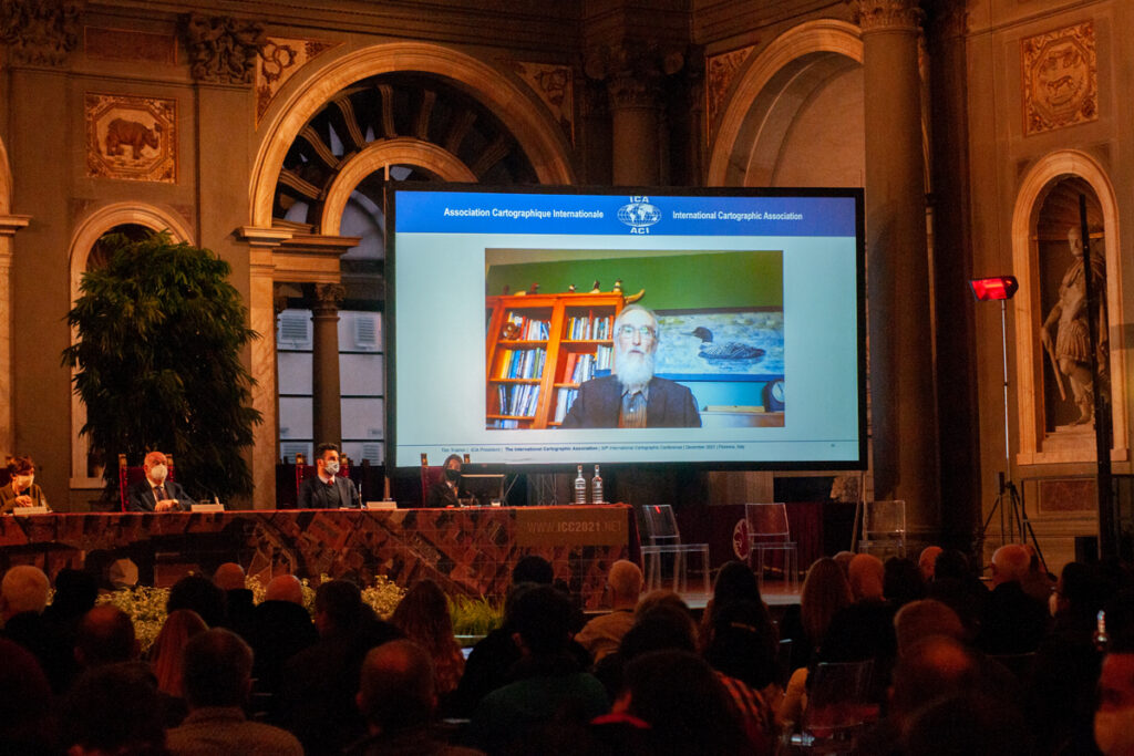
Tuesday was the Opening Ceremony in the Salone Dei Cinquecento in Palazzo Vecchio, which was so ornate with works by Leonardo da Vinci and Michelangelo. There were informative talks by several dignitaries from Florence while two colleagues were awarded ICA’s highest award, the Carl Mannerfelt Gold Medal: Ulrich Freitag and Alan MacEachren.

Wednesday, many people continued their introduction to the conference as they registered. Sessions began on a variety of topics as part of the scientific program where a hybrid option was made available for the first International Cartographic Conference. Dr. Greg Scott from the UN-GGIM Secretariate delivered a great keynote address on Cartography in the Age of Digital Transformation. Several engaging questions were posed, most of which came from on-line participants. During the day nine ICA Commissions and Working Groups conducted their business meetings toward advancing their terms-of-reference. It was a good beginning to the ICC.

– Tim Trainor
President of the International Cartographic Association


Photos by Stephan Wondrak – thanks!

Tag: ,

President’s Blog #12: Encouraging attendance at the 30th ICC

Dear ICA Colleagues,

The Local Organizing Committee (LOC) for the 30th International Cartographic Conference in Florence, Italy, are ready for us to arrive and participate, whether it is in-person or remotely. The LOC has worked tirelessly to ensure a complete scientific program, a special experience in maximizing the Florence experience in art, history, cuisine and hospitality. Each of us has been faced with difficult circumstances in determining if we participate in person. For some, government travel restrictions have made the decision for you. For others, what we hoped was a calming of the pandemic storm was complicated with the recent Omicron variant. Each of us is having to make choices that require seeking information beyond the normal challenges of traveling to a different country. From my experience, having been to Europe three different times beginning in September, Italy had the most organized and stringent requirements for personal health safety. Those procedures have not been relaxed since that time. In fact, in our most recent meeting with the LOC on Monday, they have been in continual discussion with government and the university to ensure that the ICC is compliant. I am departing soon to be in Florence with our hosts. I am looking forward to see the beauty of Florence, the International Cartographic Exhibition at the Italian Geographic Military Institute, the School of Humanities at the University of Florence, the gala dinner at the Palazzo Borghese, and the other settings we will experience during our stay. There is so much to see.

See you in Florence!

– Tim Trainor
President of the International Cartographic Association

Tag: ,
rawboned-refined