At the ICC 2021 in Florence, the Carl Mannerfelt gold medal was awarded to Alan M. MacEachren.
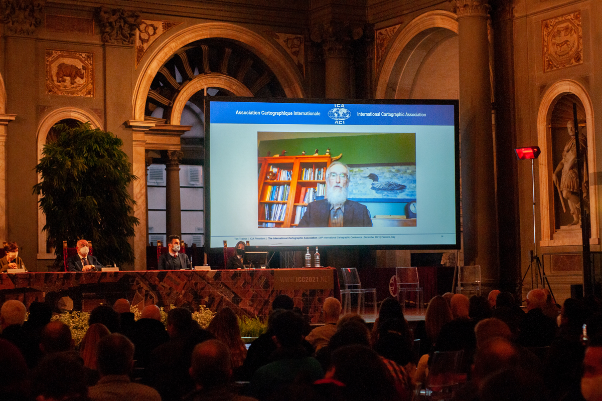
You can listen to Alan’s acceptance speech here:
Read the laudation by Menno-Jan Kraak, Past-President of ICA, below:
Dr. Alan M. MacEachren is a Professor of Geography and Affiliate Professor of Information Science & Technology at the Pennsylvania State University. Dr. MacEachren is the founding director of the Penn State GeoVISTA Center, one of the premier research and design laboratories in cartography, geovisualization, and GIScience in the United States. Alan is an internationally recognized leader in these areas, pioneering methods to interact and collaborate in real-time exploratory analyses and visualizations of geographic data sets.
His early research in geographic representation and geovisualization coincided with the rise of visualization in the scientific community. Since the 1980s, he has helped guide the national and international development of geographic visualization within cartography and GIScience to its current form as geovisual analytics, defined as the science of analytical reasoning facilitated by interactive geovisual interfaces. MacEachren’s book How Maps Work, published in 1995, established a new cognitive-semiotic basis for geographic visualization in cartography, providing a guiding theoretical foundation for cartography, at the same time the discipline and profession were transitioning to interactive, online, and mobile media. His theoretical contributions to cartography remain central to contemporary scholarship in our discipline, and How Maps Works ranks among the most cited cartographic research texts to-date. Alan was elected as a Fellow of the American Association for Advancement of Science (AAAS) in 2013, among the highest distinctions for a research scientist from any discipline made in the United States.
Alan’s contributions to the ICA span more than a quarter century. In 1993, under his leadership, a visualization subgroup within the ICA Commission on Map and Spatial Data Use was formed. In 1995, a proposal for forming the ICA Commission on Visualization was ratified, and Alan became its chair. In 1999, the commission was renamed the Commission on Visualization & Virtual Environments, which he co-chaired with Menno-Jan Kraak from 1995 to 2005. He has participated in nearly every ICC since 1989, and he has funded his students also to participate in these events and more broadly in other ICA activities as well, for example, as members and chairs of ICA Commissions.
The intellectual output from Alan MacEachren’s participation in ICA commissions is immense. Alan was able to bring together a range of international scholars and students to set the agenda for geovisualization and geovisual analytics. In the edited volume Visualization in Modern Cartography the Cartography Cube was introduced as an organizing framework of newly possible map uses in a digital environment. In 2001 in a special CAGIS issue on the Research Agenda in Geovisualization, possibilities for cartographic research in the 21st century were set out. Finally, Alan MacEachren co-edited the volume Exploring Geovisualization in 2005, organizing 78 international scholars to address for the first time many of the research gaps identified in the 2001 CaGIS special issue. The impact of MacEachren’s team building efforts through these collaborative projects on the ICA community and cartography broadly cannot be overstated.
Dr. MacEachren was named an Honorary Fellow of the ICA in 2005, but the scope, and impact of his scientific contributions bring the ICA to award him the Mannerfelt Medal.