Kindly note that this workshop has been CANCELLED.
Apologies for any inconvenience caused.
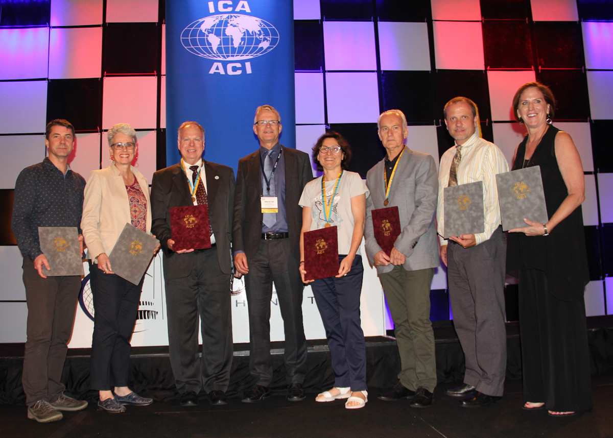
The ICA Commission on Atlases is happy to invite you to another interesting Atlas Workshop: „The Future of Atlases“. We want to discuss with you the possibilities and challenges of atlases, perhaps resulting in an innovative, new atlas concept.
Background
In an era dominated by digital technologies and real-time information, the future of traditional atlases has become increasingly uncertain. These once-revered compilations of maps, charts, and geographic knowledge are now facing a myriad of challenges that question their relevance and longevity in the modern world.
One of the primary issues confronting atlases is their rather static nature. Geographic features such as coastlines, borders, and urban development are in a constant state of flux, while political shifts and territorial disputes further complicate the accuracy of conventional maps. As a result, atlases often fail to capture the most up-to-date and accurate information, undermining their utility in today’s dynamic global environment.
Moreover, the climate crisis has introduced an unprecedented level of environmental instability. Rising sea levels, shifting climate zones, and extreme weather events are redefining the very geography we once took for granted. The impact of these changes is significant and demands agile cartographic solutions that can quickly adapt to the new realities.
In addition, the rise of digital mapping platforms and GPS technology has further compounded the predicament of atlases. Online maps like Google Maps and interactive navigation tools on smartphones have revolutionized the way we access and interact with geographic information. With these tools offering real-time updates and personalized directions, the traditional atlas appears cumbersome and outdated in comparison. The ease and convenience of these digital services are gradually overshadowing the once-prestigious allure of physical and digital atlases.
The future of atlases lies in their ability to adapt and evolve. Hybrid approaches, combining physical maps with digital interfaces, might offer a compromise that respects tradition while harnessing the advantages of modern technology. Collaborative efforts between cartographers, geographers, and local communities can help ensure greater accuracy and inclusivity in geographic representation.
The workshop will address these and additional issues publisher of atlases are facing today. Keywords, such as narration and storytelling, openness, participation and transparency that seem to challenge atlas productions will discussed and evaluated.
Details
- Workshop date: SAT 12. August
- Workshop time: 09h00-13h00
- Venue: Stellenbosch University, Chamber of Mines Building
- Directions from CTICC: https://goo.gl/maps/ikHB9aw6oWdmaNfV8
- Registration and Contact: Eric Losang (E_Losang [a] leibniz-ifl.de)
In the afternoon, we will participate in a trip to a winery and taste fine wine. The costs for the wine trip and the return trip to Capetown will be 750 Rand (40 Euro), with 15 participants at least.
Please register as soon as possible!
– Eric Losang & René Sieber
 During