Welcome to the International Cartographic Association
Welcome to the website of the International Cartographic AssociationGet to know the new ICA Executive Committee for the term 2023-2027Get to know the ICA Commissions for the term 2023-2027
Welcome to the website of the International Cartographic Association
Get to know the new ICA Executive Committee for the term 2023-2027
Get to know the ICA Commissions for the term 2023-2027

President’s Blog: A gathering of the ICA people – the ICA Retreat in Vienna

Many persons are involved in our organization. They have different roles, different background and different ideas. In order to learn to know each other better, to synchronize our understanding of “our” ICA and to allow for taking on board all those rich ideas, perspectives and thoughts all Executive Committee Members, Commission Chairs and Co-Chairs, Working Group Chairs and further ICA officers met at the Technische Universität Wien in Vienna, Austria from 22.3.2024 to 24.3.2024 for an intense working meeting.

The agenda included several information presentations on issues of mutual concern, several group-works and workshops and simply time to meet, discuss and be part of ICA.

In the unique venue of the “Kuppelsaal” of the Technical University of Vienna we found enough space and inspiration to gather and work together.

At the ICA retreat at TU Wien Kuppelsaal, Vienna, Austria 2024

At the ICA retreat at TU Wien Kuppelsaal, Vienna, Austria 2024

The meeting started with an introduction from President Georg Gartner on the nature, aims and scope and mission of the International Cartographic Association. It is really the global voice for Cartography and GIScience and the motto “We love maps” is a common nominator for all of us.

In order to learn to know each other better we performed a group work, where we paired in two to be able to introduce always the other person accordingly.

We then collected ideas about the questions:

  • What would you like to give to the ICA community?
  • What would you like to get from ICA?

which resulted in a long and rich list of relevant items.

Dusan Petrovic, Pyry Kettunen and Francis Harvey working hard and having fun at the retreat at TU Wien Kuppelsaal, Vienna, Austria 2024

Dusan Petrovic, Pyry Kettunen and Francis Harvey working hard and having fun at the retreat at TU Wien Kuppelsaal, Vienna, Austria 2024

Having set the tone for the meeting with this we then dived into several existing structures, instruments and elements of ICA, such as the ICA Webservices (presented by Webmaster Manuela Schmidt), the International Journal of Cartography (presented online from the Editors Anne Ruas and William Cartwright), the ICA Publication Regime (presented online from Publication Committee Chair Menno-Jan Kraak), the ICA Executive Committee (presented by President Georg Gartner and Secretary-General Thomas Schulz), the ICA Commissions and their Administration (presented by Secretary-General Thomas Schulz), the ICA Conferences (presented by Vice-President Serena Coetzee), the ICA memberships, MoUs and relations to other organisations (presented by Past-President Tim Trainor), the ICA Research Agenda (presented by Vice-President Haosheng Huang), the ICA Body of Knowledge (presented by Working Group Chair Terje Mitbo).

Inbetween further group interventions took place, refering to the idea of synchronizing our understanding of the core concept of our organization (What is a map?), identifying and presenting commission and working group plans and synergies (led by Vice-President Dusan Petrovic), a SWOT (Strengths-Weaknesses-Opportunities-Threads) – Analysis of ICA (led by Vice-President Alex Kent), a open mic session on ideas and visions (led by Vice-Presidents Amy Griffin, Jiping Liu and Dariusz Dukaczewski).

The ICA “people” in front of the Karlskirche during the ICA retreat, Vienna 2024

The ICA “people” in front of the Karlskirche during the ICA retreat, Vienna 2024

Socializing opportunities despite the amical, fruitful and constructive working atmosphere have been taken on a joined short “CartoWalk” around Karlsplatz and joined meals.

Participants of the ICA retreat in front of the Technische Universität Wien, Vienna 2024

Participants of the ICA retreat in front of the Technische Universität Wien, Vienna 2024

The event proofs my feeling right again, that ICA is really more like a family – it is such a privilege to be able to cooperate with so many bright, motivated, enthusiastic, fantastic scholars and persons!

List of Participants

Executive Committee

  • President: Georg Gartner
  • Past President: Timothy Trainor
  • Secretary-General and Treasurer: Thomas Schulz
  • Vice President: Serena Coetzee
  • Vice President: Dariusz Dukaczewski
  • Vice President: Amy Griffin
  • Vice President: Dusan Petrovic
  • Vice President: Haosheng Huang
  • Vice President: Alexander Kent
  • Vice President: Jiping Liu

Commission Chairs and Co-Chairs

  • Art and Cartography: Taien Ng-Chan
  • Atlases: Vitek Vozenilek, Eric Losang
  • Cartographic Heritage into the Digital: Matyas Gede
  • Cartography and Children: Silvia Marinova
  • Cartography and Sustainable Development: Britta Ricker
  • Cartography in Early Warning and Crisis Mgmt: Christophe Lienert, Jie Shen
  • Cognitive Issues: Tumasch Reichenbacher, Pyry Kettunen, Petr Kubicek
  • Digital Transformation of Mapping Agencies: Bin Jiang
  • Education and Training: Tao Wang
  • Ethics in Cartography: Aileen Buckley
  • GeoAI: Samantha Arundel
  • Geospatial Analysis and Modelling: Xintao Liu
  • Geospatial Semantics and Ontology: Francis Harvey
  • Geovisualization: Florian Ledermann, Arzu Cöltekin
  • High-Definition Maps: Qingyun Du
  • Integrated Geospatial Information: Anja Hopfstock, Kathryn Arnold
  • Location Based Services: Jukka Krisp
  • Map Design: Ian Muehlenhaus
  • Map Projections: Krisztian Kerkovits
  • Maps and the Internet: Otakar Cerba
  • Marine Cartography: Ron Furness, Lysandros Tsoulos
  • Mountain Cartography: Patrick Kennelly
  • Multi-scale Cartography: Guillaume Touya, Izabela Karsznia
  • Topographic Mapping: David Forrest, Lukas Halik
  • Toponomy: Matjaz Gersic
  • Ubiquitious Mapping: Toru Ishikawa, Angela Schwering, Armand Kapaj
  • User Experiences: Robert Roth

Working Group Chairs and Co-Chairs

  • Next Generation Cartographers: Katarzyna Slomska-Przech, Chelsea Nestel
  • Inclusive Cartography: Jakub Wabinski, Vincent van Altena
  • Body of Knowledge: Terje Mitbo

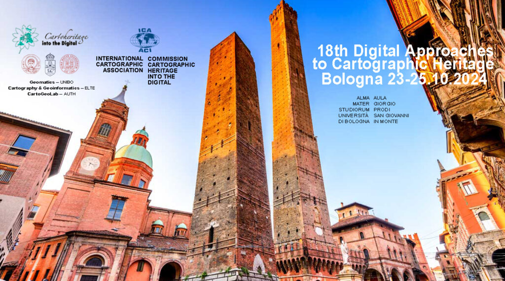
Invitation to the 18th ICA Conference on Digital Approaches to Cartographic Heritage

The ICA Commission on Cartographic Heritage into the Digital, continuing the tradition of its annual Cartoheritage Conferences since 2006, is pleased to invite you at the 18th ICA Conference on Digital Approaches to Cartographic Heritage in Bologna, 23-25 October 2024 – in partnership with the the University of Bologna, Department of Civil, Chemical, Environmental and Materials Engineering (DICAM), supported by the MAGIC – Map & Geoinformation Curators Group.

Call for Papers

The Programme will be organised in thematic sessions dedicated to issues relevant to the subjects usually treated in the Conferences of the ICA Cartoheritage Commission, according to its Terms of Reference (2023-2027).

Possible topics include but are not limited to:

  • Digitisation – Georeference.
  • Content analysis in terms of geometry and thematics of cartodiversity.
  • Landscape change studies based on map-archival sources.
  • Visualisation of Cartoheritage, including thematic portals.
  • Interconnection of cartographic archival sources, especially map and textual data.
  • Historical terrestrial and aerial photography, including photo-related post-cards and relevant material – cartographic parametrisation.
  • Cartoheritage web providing issues.
  • Interaction of cartoheritage with map and geoinformation curatorship of cartodiversity.
  • Development of cartoheritage as a cultural issue, within the context of GLAM, addressed to education and to the general public.
  • Geographic affinities with Cartoheritage.
  • Cartoheritage and Digital Humanities.
  • Other relevant issues of the Cartoheritage ecosystem.

The presented papers are published in the Conference Proceedings (ISSN-2459-3893) available in digital form during the Conference.

For your participation in the conference, please fill and submit online your participation form.

For abstract submission, please fill and submit online the paper title & abstract form (Deadline: 30 April 2024)

For more information about the conference please visit cartography.web.auth.gr/ICA-Heritage/Bologna2024.

Tag: ,

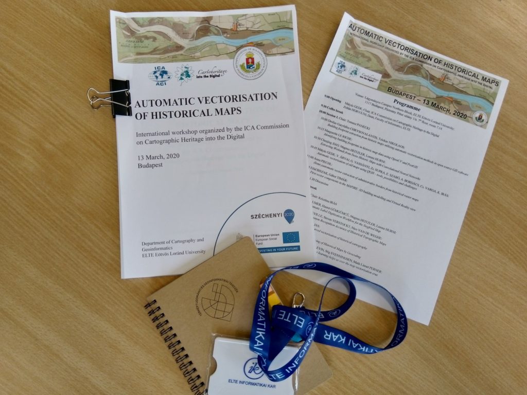
Workshop on Automatic Vectorisation of Historical Maps held as virtual conference

On 13th March, the Commission on Cartographic Heritage into the Digital had its workshop on the Automatic Vectorisation of Historical Maps. Due to the coronavirus situation the workshop had to be held online only. Despite the short time (the meeting ban at the hosting institution was announced only 3 days before the event) most authors managed to join the meeting. The workshop was streamed online, the discussion was realized in a chat group.

Workshop on Automatic Vectorisation of Historical Maps

The Commission on Cartographic Heritage into the Digital in partnership with the Department of Cartography and Geoinformatics, ELTE Eötvös Loránd University invites researchers and scholars to discuss the state of the art of automatic vectorisation of historical maps, with a high emphasis on the use of free, open source solutions.

Contributions will be organised into thematic sessions of 10-15 min. oral presentations ending with open discussion.

Submit abstracts in topics including but not restricted to:

  • Vectorisation
  • Automatic text recognition
  • Symbol recognition
  • Pattern recognition (pattern fill, dashed lines, etc.)

All presented papers will be published on-line in the workshop proceedings. Selected papers will be published in a special issue of e-Perimetron.

Important dates

  • 20 December, 2019 – Send abstracts (500 words max.) to avhm.workshop@gmail.com
  • 10 January, 2020 – Notification of acceptance
  • 10 February, 2020 – Full paper deadline
  • 25 February, 2020 – Free registration deadline


For more information about the workshop please visit lazarus.elte.hu/avhm

Tag:

Honorary Fellowship for Evangelos Livieratos

During ICC 2019, Evangelos Livieratos received the ICA Honorary Fellowship. Below you can read Georg Gartner‘s laudation:

For me it is a real honor and pleasure to address Prof Evangelos Livieratos on the occasion on awarding the Honorary fellowship of the International Cartographic Association. Such an award should be given to a cartographer of international reputation who has made special contributions to ICA.

All of those criteria are more than appropriately applicable to Prof Evangelos Livieratos.

He is a cartographer in its core sense, understanding maps and cartography as a fundamental instrument of human mankind, bridging knowledge, skills, methods and knowledge from engineering to humanities.

He has undoubted international reputation. He has shaped our understanding and knowledge of “how we can see the maps of the past with the eyes of today” on an international stage.

And he has made numerous special contributions to ICA, allowing the organization to gain profile, benefit from his enthusiasm and capacities and establishing topics through a commission, publications and networks.

Born 1948 in Greece, he demonstrated his visionary interest beyond close domain borders. He graduated from surveying engineering at the National Technical University Athens, received a doctoral degree there as well as a Dr. phil. from Uppsala University in Sweden. He also did a docent dissertation at NTUA and moved his interests from geodesy to cartography to combine engineering and humanities oriented scientific thinking. Several fellowships followed, including such to the Smithsonian Institute, the Humboldt Foundation or from NSF.

In his professional endeavours he contributed heavily to put the Aristotle University on the “international map of leading cartographic institutions”. He helped to found the Hellenic cartographic society, introducing national cartographic conferences in Greece and to found the national center for maps and cartographic heritage. As a career achievement with reference to the history of Greek cartography and of the Modern Greek Enlightenment he refers to the discovery of the existence of two versions of Rigas Velestinlis monumental Charta of Greece, which was highly recognized. This was very much in line with his core activities in geospatial sciences and engineering, particularly in mapping, as his long- lasting interest for arts and humanities offered the grounds for developing a line of thought converging to cartographic heritage, a field coupling the historic and cultural heritage of maps and mapping with the so far integration into the dominant digital mainstream. The foundation of the open access journal e-perimetron is an important element of these activities as well as his numerous efforts as teacher, mentor, scientist and organisator. He serves not only the domain of cartography and cartographic academic institutions but also in entities on organizing higher education in general as well as serving the society as minister of environment, energy and climate change of the Greek government.

In respect to activities in relation to ICA he was active participant and discussant in several ICA activities, such as ICCs. He was chair of the WG Digital Technologies in Cartographic Heritage (2005–2007), Chair of the ICA Commission on Digital Technologies in Cartographic Heritage (2007–2015) and ICA Commission on Cartographic Heritage into the Digital (2015–2019). He was an active supporter of the UN-endorsed International Map Year and a long- standing Greek National Delegate to ICA.

In referring to his vision I am pleased to cite him as follows:

His strong vision for 21st century is a creative rapprochement of engineering with humanities, and vice-versa, designed the rapprochement to be open-minded, tolerant, pluralist, extrovert, fresh and attractive in order to develop composite common areas of thinking, study, research and scientific growth for the benefit of both, humanities and engineering, in a world embedded more and more into the digital manifold.“

To me, this is both, a guideline for many of our activities in cartography as well as a template for scientists in general, that we need to look beyond discipline borders and that we should embed what we do in a bigger picture.

I have found Prof. Evangelos Livieratos as an outstanding scientist, teacher, cartographer, friend.

My sincere congratulations to what I find a more than deserved award for an outstanding person!

ICA Awards Ceremony at ICC2019

In the ICA Awards Ceremony at ICC2019, the following awards were presented in recognition of contributions to the ICA.

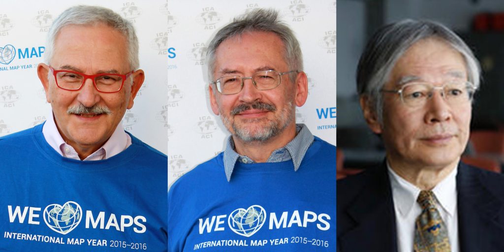
Evangelos Livieratos, Miljenko Lapaine, Takashi Morita

From left to right: Evangelos Livieratos, Miljenko Lapaine, Takashi Morita

ICA Honorary Fellowship

The ICA Honorary Fellowship is for cartographers of international reputation who have made special contribution to the ICA. It includes a bronze medal.

  • Evangelos Livieratos, Greece
    • Active participant and discussant in several ICA activities, such as ICCs
    • Chair of the WG Digital Technologies in Cartographic Heritage (2005–2007)
    • Chair of the ICA Commission on Digital Technologies in Cartographic Heritage (2007–2015) and ICA Commission on Cartographic Heritage into the Digital (2015–2019)
    • Founder of e-Perimetron
    • Active supporter of the International Map Year
    • Greek National Delegate to ICA
  • Miljenko Lapaine, Croatia
    • Participation in all International Cartographic Conferences since 1989
    • Chair of the ICA Map Projections Commission (2011–2019)
    • Vice-Chair of the ICA Map Projections Commission (2019–2023)
    • Led the development and editing of the 2017 book Choosing a Map Projection for the ICA
    • Active supporter of the International Map Year
    • Croatian National Delegate to ICA

Diplomas for outstanding services to ICA

The Diplomas for outstanding services to ICA are for colleagues who have made special contribution to the ICA as commission officers or conference organizers.

  • Takashi Morita, Japan
    • Member of the ICA Commission on Theoretical Cartography
    • Vice-President of ICA (1999–2003)
    • Chair of the ICA Commission on Ubiquitous Mapping (2003–2011)
    • Chair of Local Organizing Committee for ICC2019
    • President of Japan Cartographers Association (JCA)
    • Chair of the National Committee for Cartography, Science Council of Japan


Congratulations to all awardees!

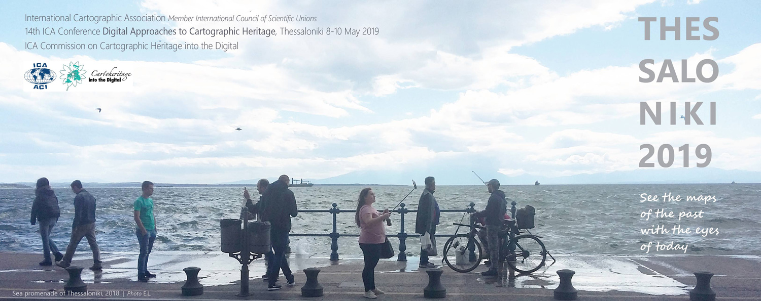
Invitation to the 14th ICA Conference on Digital Approaches to Cartographic Heritage

The Commission on Cartographic Heritage into the Digital, continuing the tradition of its annual Cartoheritage Conferences, since 2006, is organising the 14th Conference Digital Approaches to Cartographic Heritage (ICA DACH) in Thessaloniki, Greece, 8‒10 May 2019, in partnership with the AUTH ‒ Aristotle University of Thessaloniki, supported by the MAGIC ‒ Map & Geoinformation Curators Group.

The programme is organised in thematic sessions dedicated to issues relevant to the subjects usually treated in the Conferences of the ICA Cartoheritage Commission, according to its Terms of Reference (2015‒2019) and the topics treated by its working units. This is the second ICA DACH Conference with a special interest reserved to the contribution of Cartoheritage to Digital Humanities:

  • Digitisation ‒ Georeference
  • Content analysis in terms of geometry and thematics of cartodiversity
  • Landscape change studies based on map-archival sources
  • Visualisation of Cartoheritage, including thematic portals
  • Interconnection of cartographic archival sources, especially map and textual data
  • Historical terrestrial and aerial photography, including photo-related post-cards and relevant material ‒ cartographic parametrisation
  • Cartoheritage web providing issues
  • Interaction of cartoheritage with map and geoinformation curatorship of cartodiversity
  • Development of cartoheritage as a cultural issue, within the context of GLAM, addressed to education and to the general public
  • Geographic affinities with Cartoheritage
  • Cartoheritage and Digital Humanities
  • Other relevant issues of the Cartoheritage ecosystem

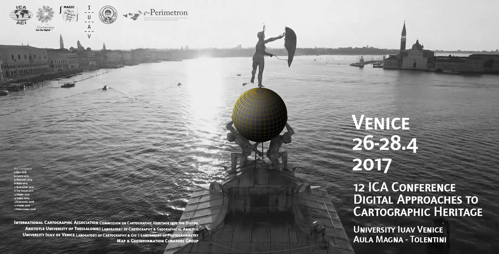
The presented papers will be published in the conference proceedings (ISSN-2459-3893) available in digital form during the conference (see the Madrid 2018, Venice 2017 and Riga 2016 proceedings).

The conference is kindly hosted by the AUTH Library & Information Centre and by the Museum of Byzantine Culture of Thessaloniki (see venues). The conference board is advising and implementing the overall organisation.

For more information about the conference please visit cartography.web.auth.gr/ICA-Heritage/Thessaloniki2019.

Tag:

Invitation to the 13th ICA Conference on Digital Approaches to Cartographic Heritage

The Commission on Cartographic Heritage into the Digital, continuing the tradition of its annual Cartoheritage Conferences, since 2006, is organising the 13th Conference Digital Approaches to Cartographic Heritage (ICA DACH) in Madrid, Spain, 18-20 April 2018, in partnership with the IGN – Instituto Geográfico Nacional, supported by the SECFT – Sociedad Española de Cartografía, Fotogrametría y Teledetección, by the AUTH CartoGeoLab – Laboratory of Cartography & Geographical Analysis, and the MAGIC – Map & Geoinformation Curators Group.

The Conference programme is organised in thematic sessions dedicated to issues relevant to the subjects usually treated in the Conferences of the ICA Cartoheritage Commission, according to its Terms of Reference (2015-2019) and the topics treated by its Working Units. In this conference a special interest is reserved to the contribution of Cartoheritage to Digital Humanities:

  • Digitisation – Georeference.
  • Content analysis in terms of geometry and thematics of cartodiversity.
  • Landscape change studies based on map-archival sources.
  • Visualisation of Cartoheritage, including thematic portals.
  • Interconnection of cartographic archival sources, especially map and textual data.
  • Historical terrestrial and aerial photography, including photo-related post-cards and relevant material – cartographic parametrisation.
  • Cartoheritage web providing issues.
  • Interaction of cartoheritage with map and geoinformation curatorship of cartodiversity.
  • Development of catoheritage as a cultural issue, within the context of GLAM, addressed to education and to the general public.
  • Geographic affinities with Cartoheritage.
  • Cartoheritage and Digital Humanities.
  • Other relevant issues of Cartoheritage ecosystem.

The Conference is kindly hosted by the Instituto Geográfico Nacional of Spain (see venue), in cooperation with the Spanish Society of Cartography, Photogrammetry and Remote Sensing (SECFT).

For more information about the conference please visit cartography.web.auth.gr/ICA-Heritage/Madrid2018.

Tag:

Updates by the Commission on Cartographic Heritage into the Digital

First announcement of the 13th Conference on Digital Approaches to Cartographic Heritage

The 2018 edition of the Conference on Digital Approaches to Cartographic Heritage – an event annually organized by the ICA Commission on Cartographic Heritage into the Digital – will be held in Madrid, 18–20 April 2018 and kindly hosted by the National Geographical Institute of Spain. Details will follow.

e-Perimetron

The new issue of e-Perimetron is now available at e-perimetron.org. It contains the following papers:

  • T. Čelkis, V. Karpova-Čelkienė (Vilnius) Reading signs: manuscript cartography sources of the 16th-19th century from the Vilnius University Library
  • G. Mihalakopoulos (Corfu) Alexandros Massavetas’s “Going back to Constantinople-Istanbul: A City of Absences”: mapping the past and the present through literature
  • Ch. J. J. Thiry (Golden CO) GIS-based discovery interface to paper map sets
  • K. Kozica (Warsaw) Different states of the sea chart of the Gulf of Riga by Lucas Janszoon Waghenaer (1534-1606) from his first sea atlas Spiegel der Zeevaert (1583 / 1585) in the Niewodniczański Collection Imago Poloniae at the Royal Castle in Warsaw
  • N. B. Piekielek (State College, PA) Best practices for georeferencing large scale historical fire insurance maps of the USA

 
More news can be found on the commission website.

An overview over the ICC2017 Pre-Conference Workshops

white-house-451544_1920-1180x450

Many ICA commissions use the days before the ICC conference for dedicated workshops on their fields of research. This year, the following workshops will take place:

Charting the Cosmos of Cartography: History – Names – Atlases

Meeting on Maps & the Internet, Ubiquitous Mapping and Education & Training

Mapping Tools for Non-Mapping Experts: Incorporating Geospatial Visualization Tools in Libraries

Different Fields – One Cartography

Supporting sustainable development with geoinformation management and modern maps: things you hardly consider

Workshop on Maps & Emotions

Workshop on Spatial Data Infrastructures, Standards, Open Source and Open Data for Geospatial (SDI-Open 2017)

Workshop on Generalisation and Multiple Representation

Symposium on Location-Based Social Media and Tracking Data

Critical Review on Using Developable Surfaces in Map Projections Theory & Standardization in Map Projections

  • Date: July 2
  • Location: Marriott Wardman Park Hotel, Washington, DC
  • Involved commission: Map Projections

Disaster Management, Big Data, Services and Cartographic Representation

Preserving Map Production Methodology Information

rawboned-refined