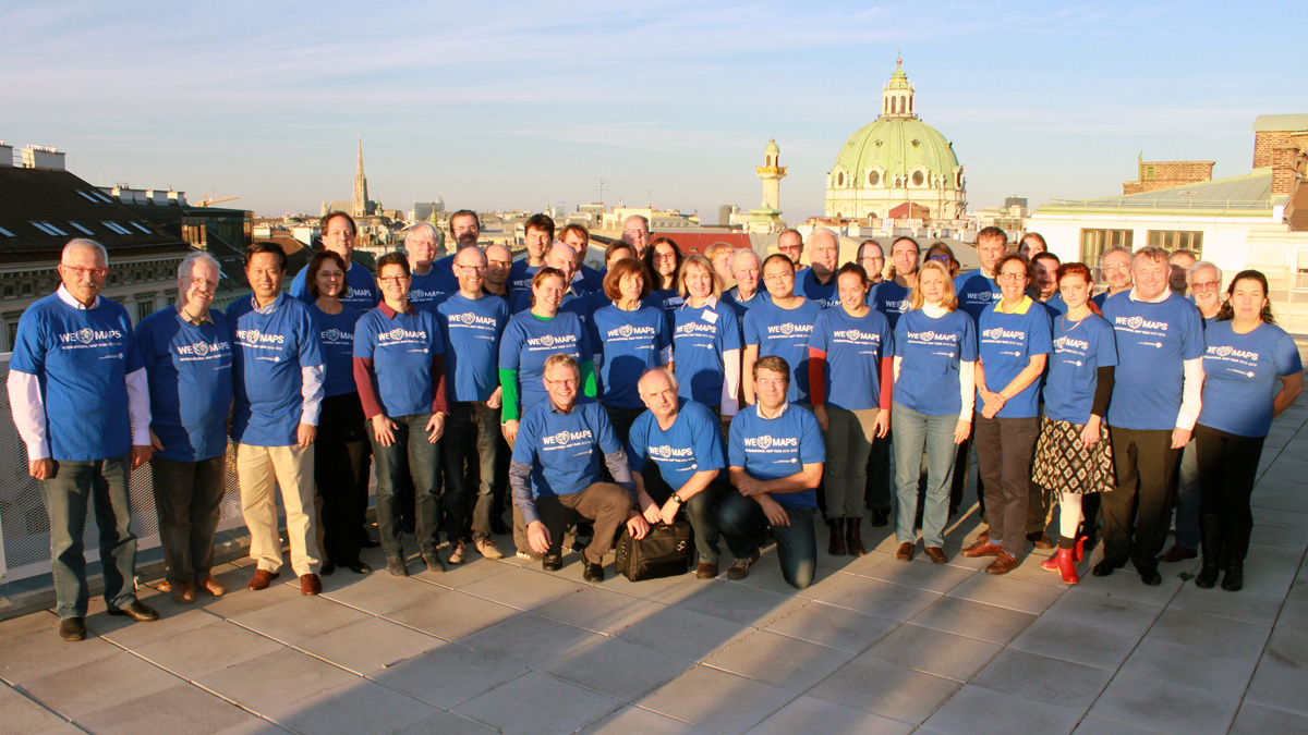
At the biennial International Cartographic Conferences, ICA organizes an International Map Exhibition, where map products originating from ICA member countries are exhibited. An international jury selects the best entries in five categories.
The international jury this year at ICC2015 was chaired by Kenneth Field (UK), who is also the Chair of the ICA Commission on Map Design. Further jury members were: Derek Clarke, South Africa | Amy Griffin, Australia | Anja Hopfstock, Germany | Lorenz Hurni, Switzerland | Alexander Kent, United Kingdom | Takashi Morita, Japan | Anthony Robinson, USA | Vit Vozenilek, Czeck Republic | João Bosco, Brazil (LOC) | Luiz Henrique Castiglione, Brazil (LOC)
Please find the winners of the ICA Map Awards 2015 below:
Atlases
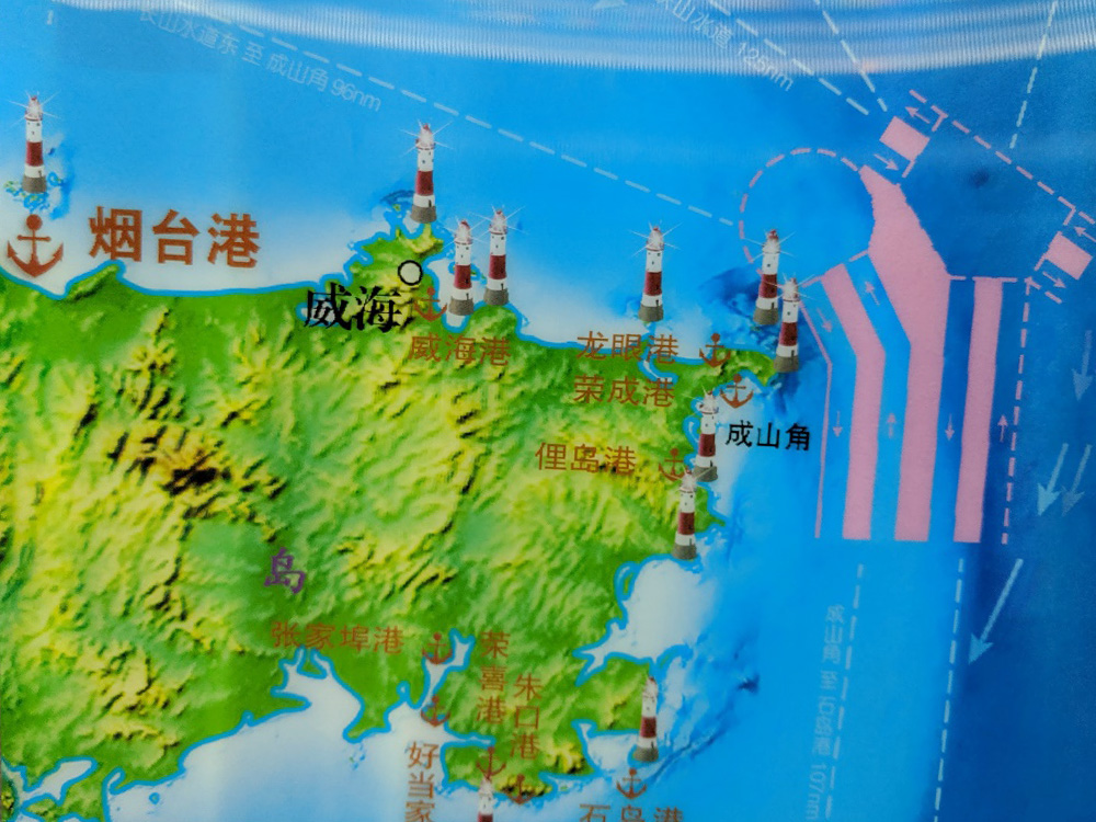
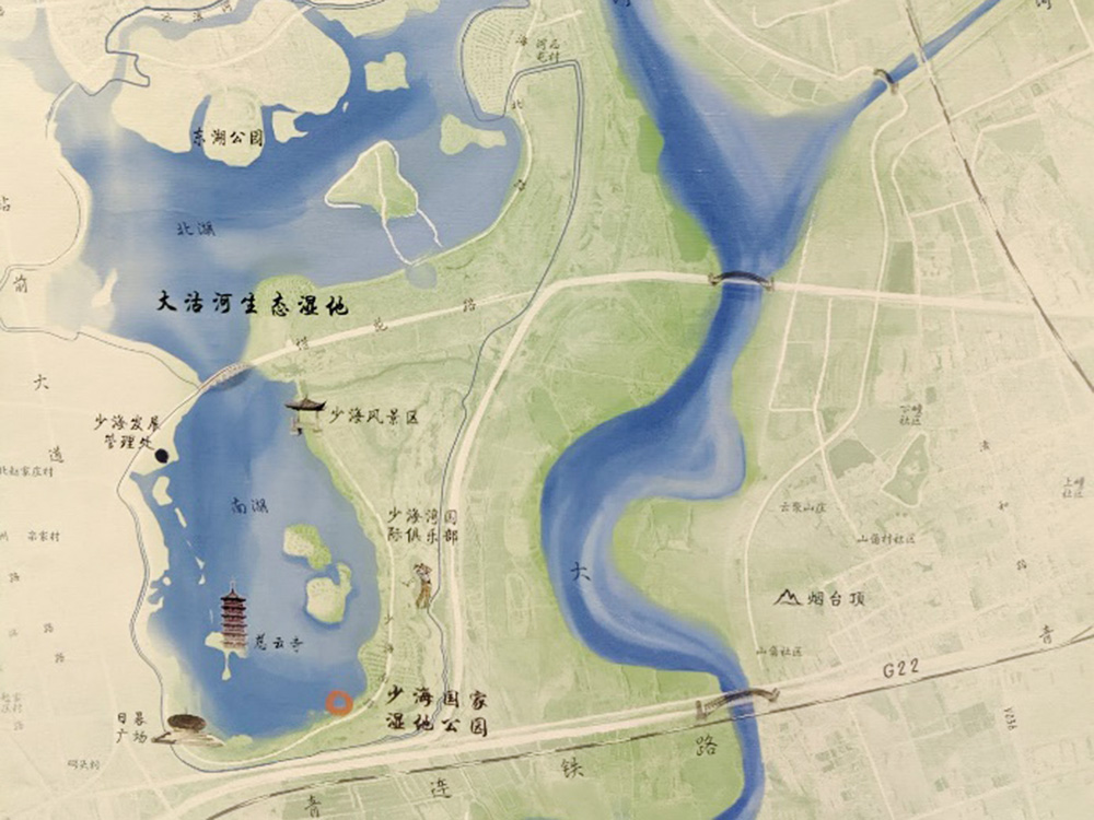
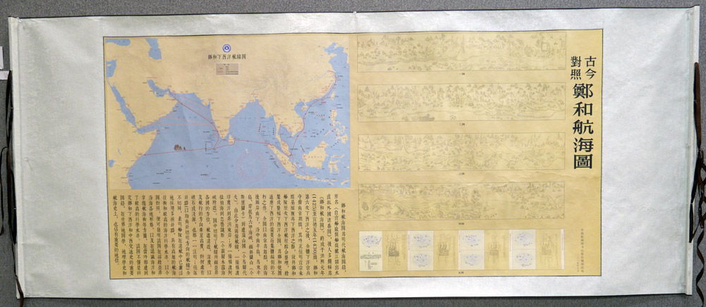
3rd place: Atlas of Typical Landform in Western China (China)
")
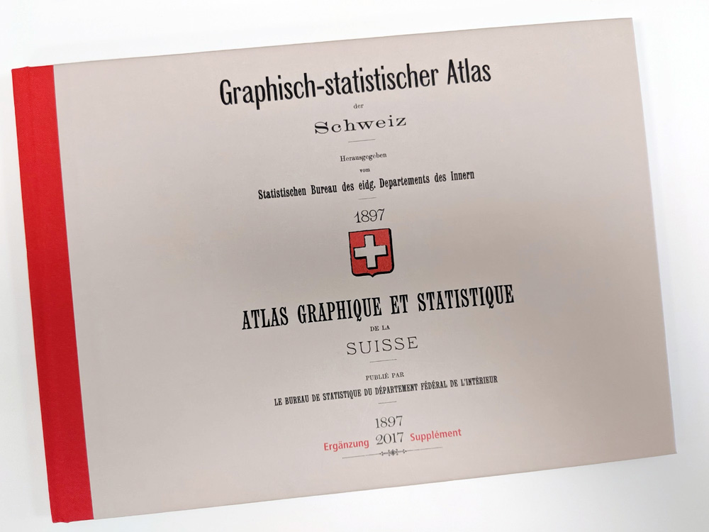
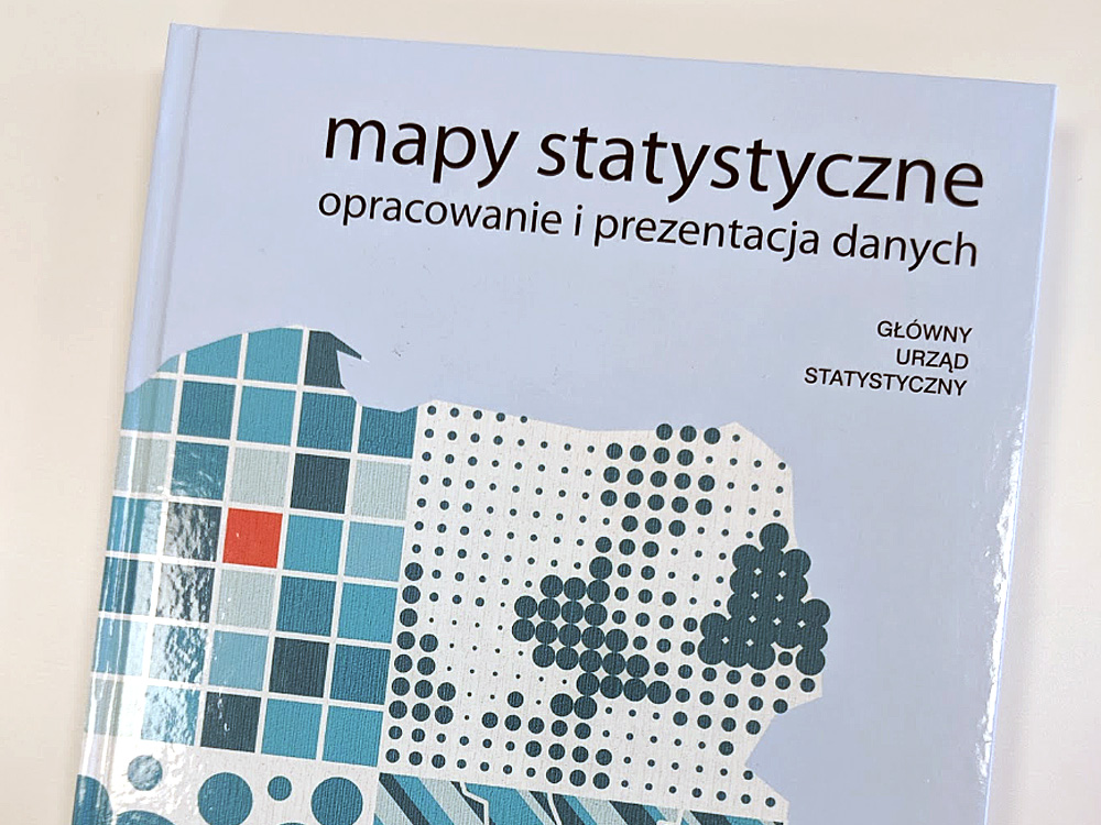
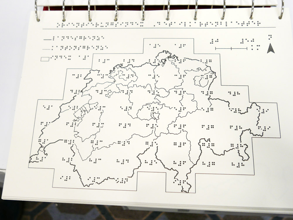
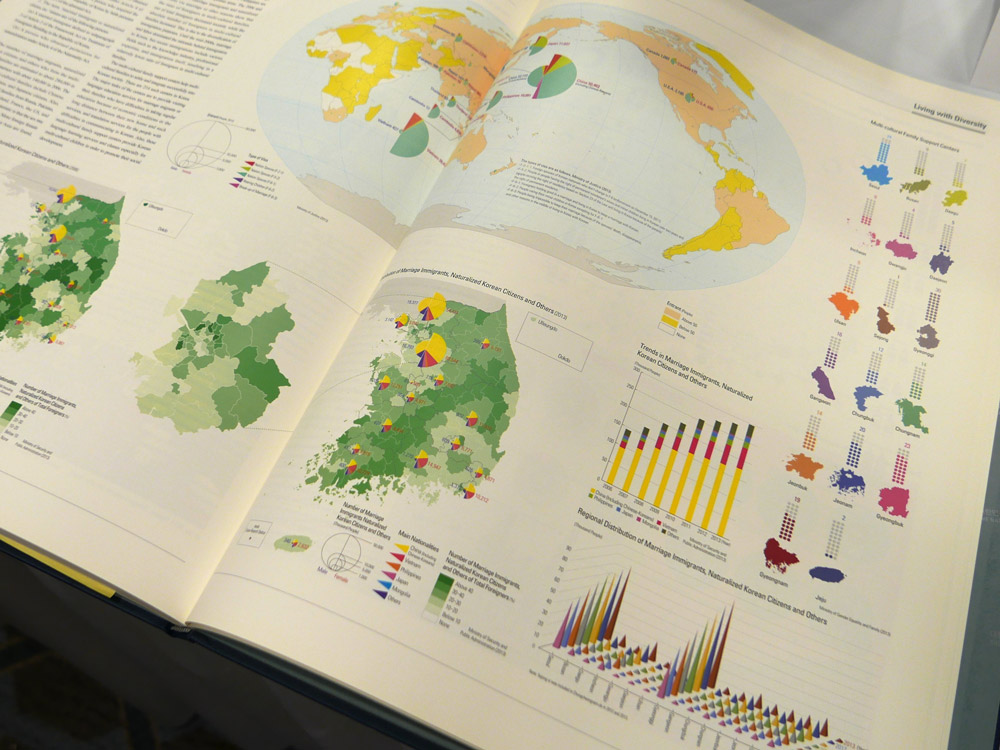
2nd place: Graphical and Statistical Atlas of Switzerland 1914–2014 (Switzerland)
")
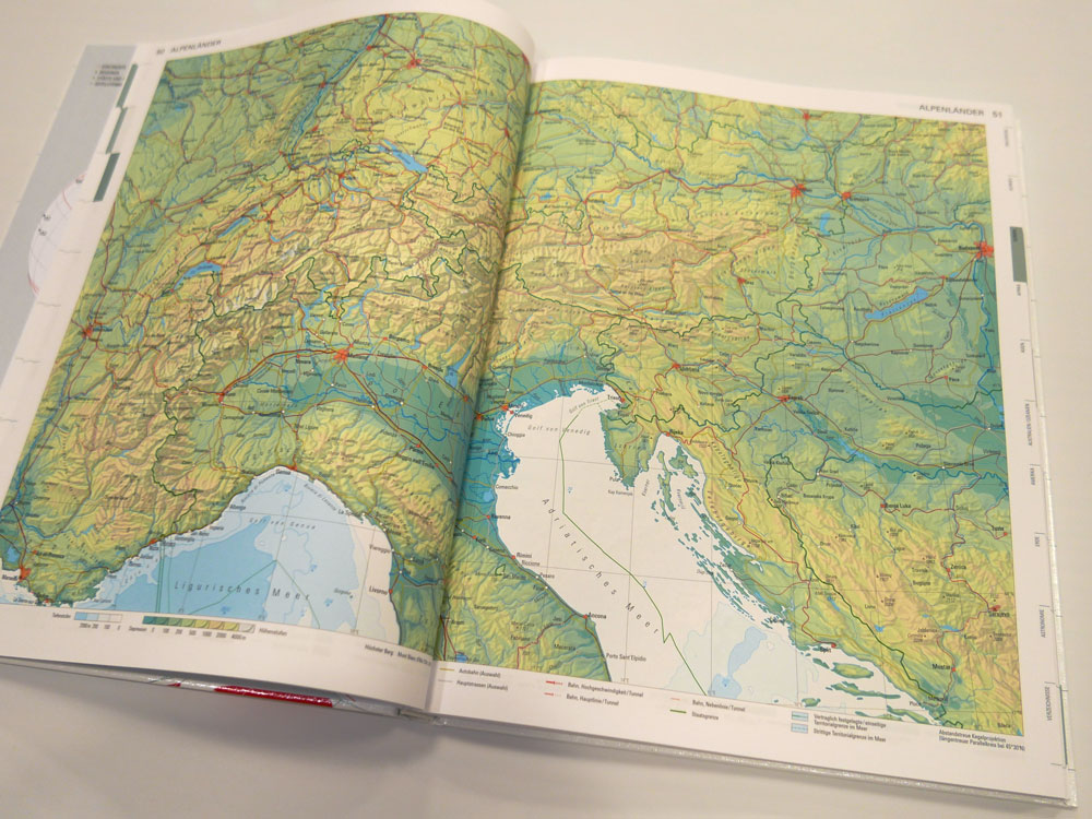
1st place: The Atlas of Cultural Heritage in the Netherlands (Netherlands)
A comprehensive, detailed and high quality publication exploring all aspects of the Netherlands. The maps are clear, clean and well produced.
")
")
Digital products
3rd place: BeCarto 14–18 (Belgium)
")
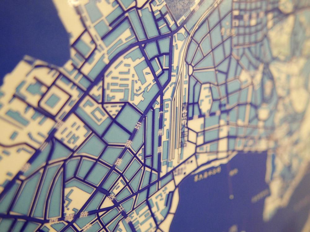
2nd place: OV-Map (Netherlands)
")
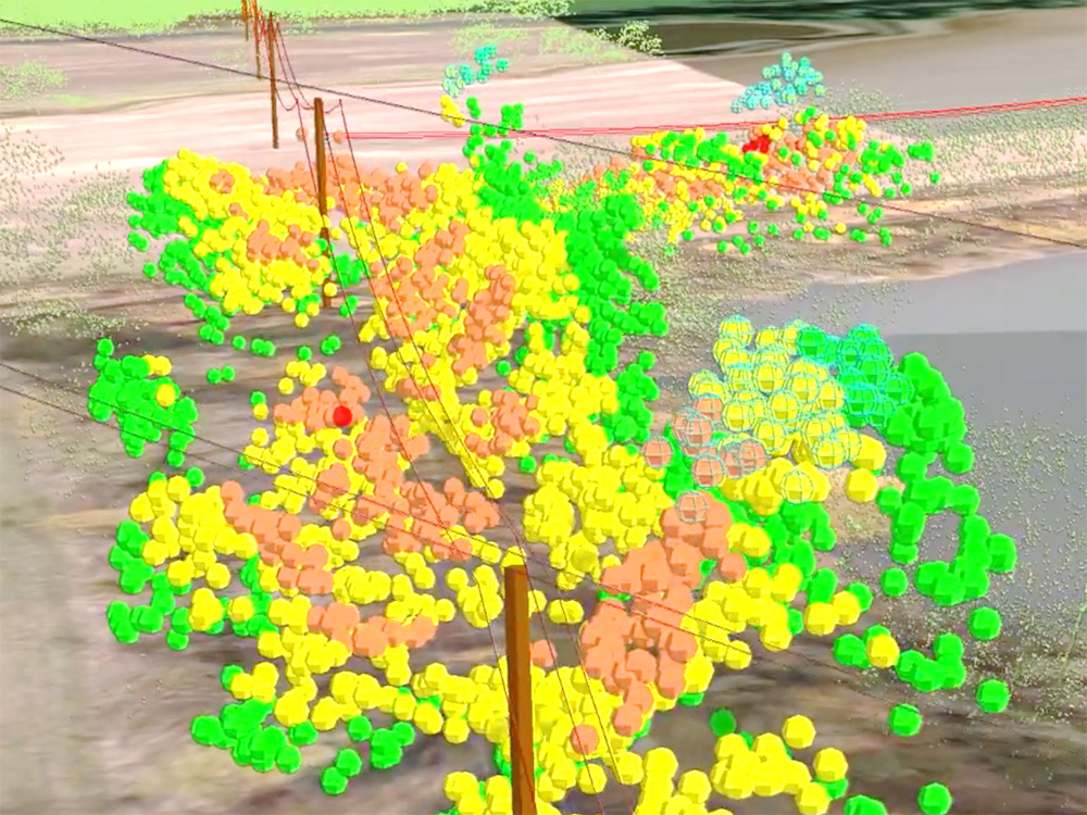
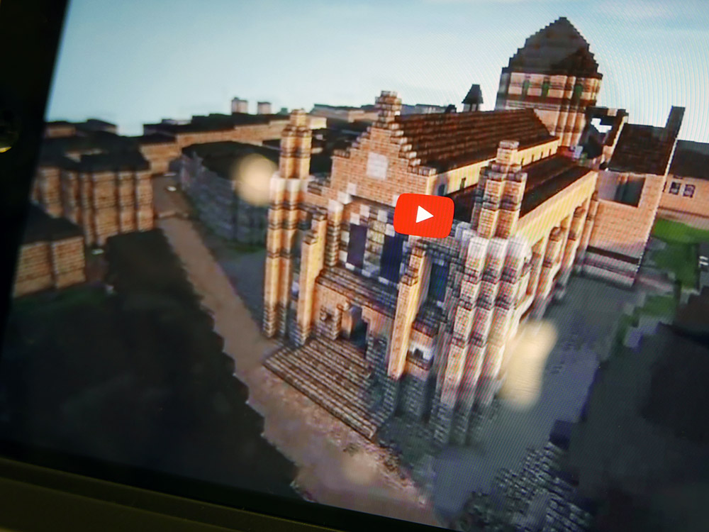
1st place: Project Supra: Real-time Heatmaps from Sports Workouts (Finland)
An intuitive, digital multiscale map that presents detailed information in a legible and accessible fashion. Interaction is key and design is stylish.
")
Educational Products
3rd place: Collins First Atlas (UK)
")
2nd place: The Kakamega-Nandi Forests Puzzli (Germany)
")
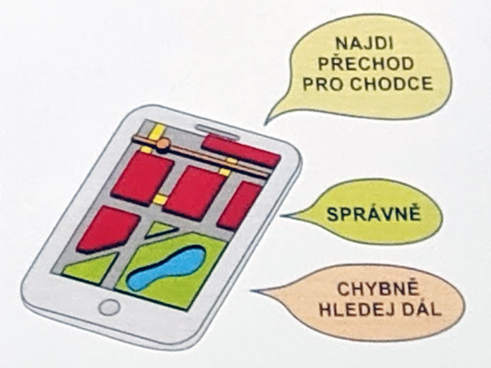
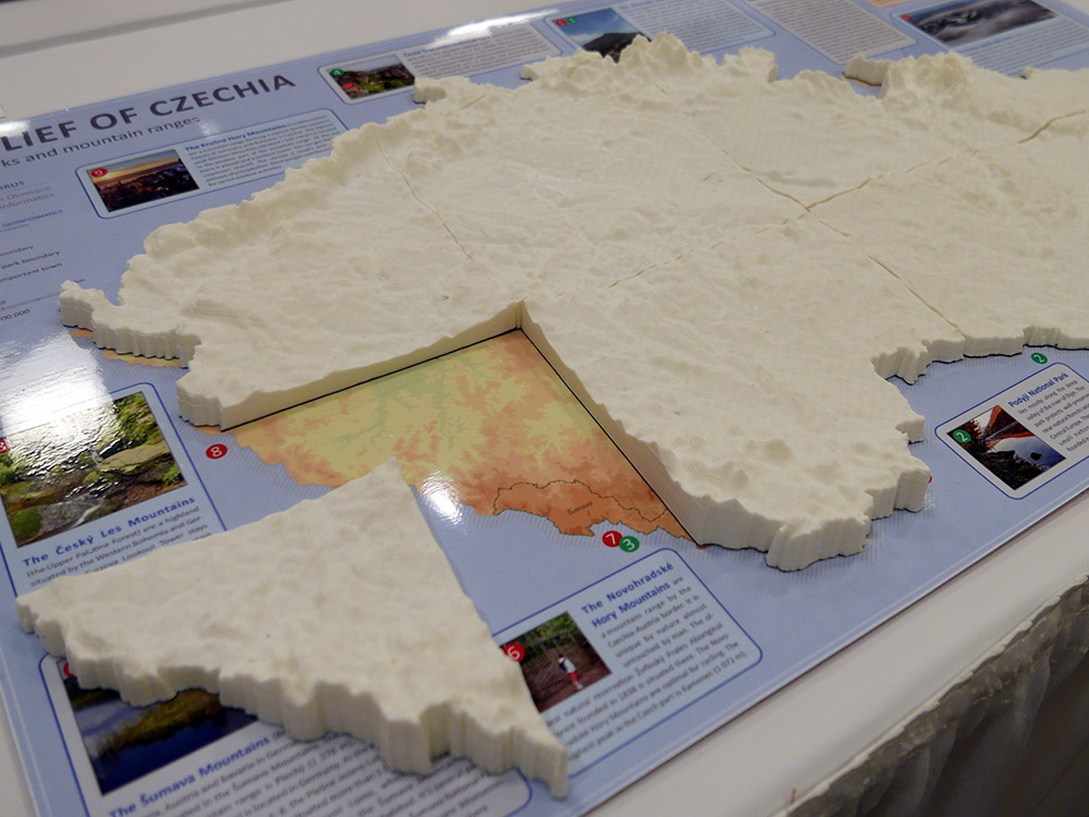
1st place: Enjoy the map – Krkonoše Mountains (Czech Republic)
An educational aid to understanding map symbology. A simple approach to teaching map reading techniques and alternative representations.
")
")
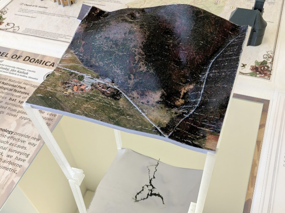
Other products
3rd place: Geological Textile (Japan)
")
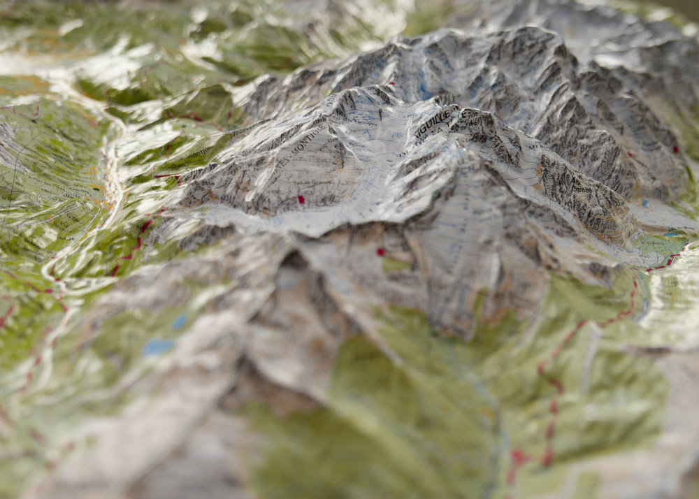
2nd place: Belle-Ile: Relief map on demand (France / IGN)
")
1st place and public vote: 3D View of the Beautiful Earth (China)
A combination of spectacular lenticular maps in a beautiful loose-leaf style presentation case. A lavish product with high quality design and production.
")
")
Paper maps
3rd place: Occupying São Paulo – An Augmented City Map (Belgium)
")
2nd place: Panorama Map of Kanto Mountains & Mt. Fuji (Japan)
")
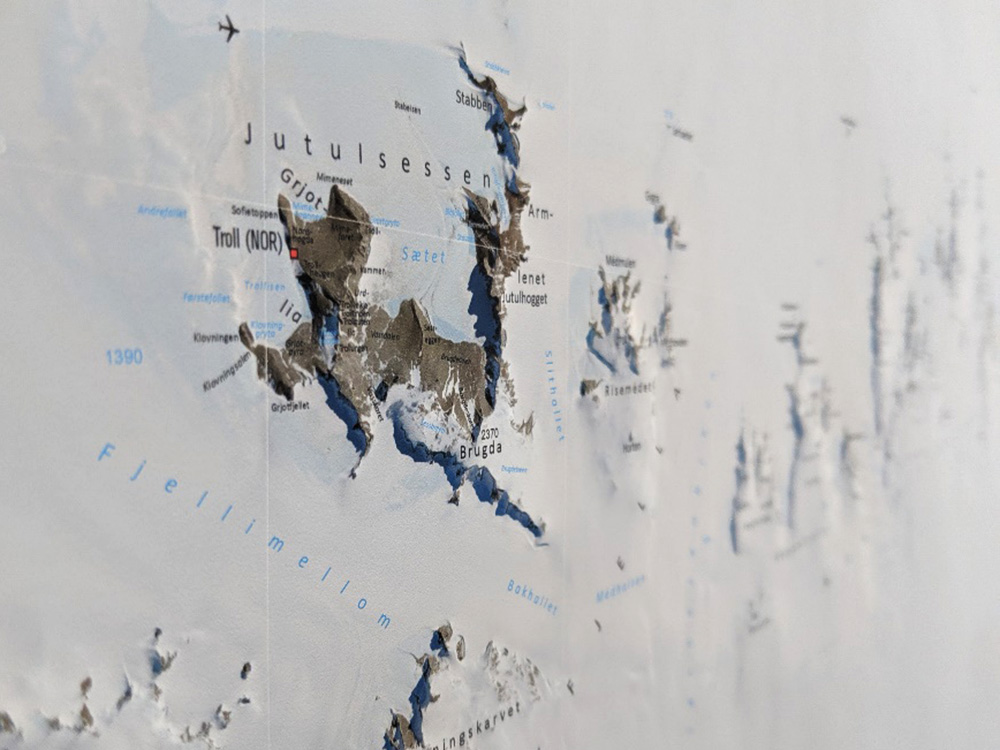
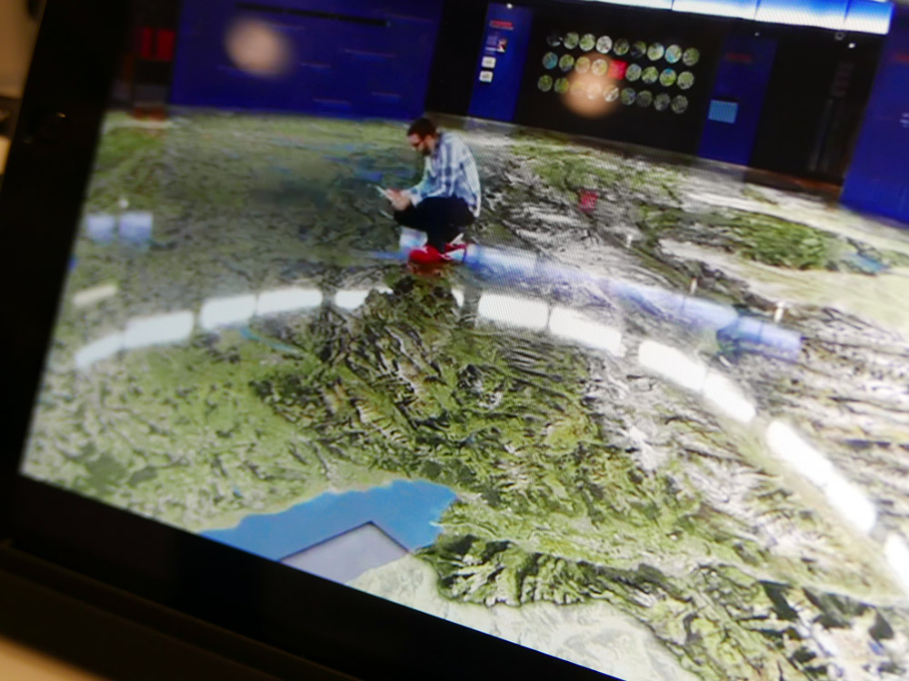
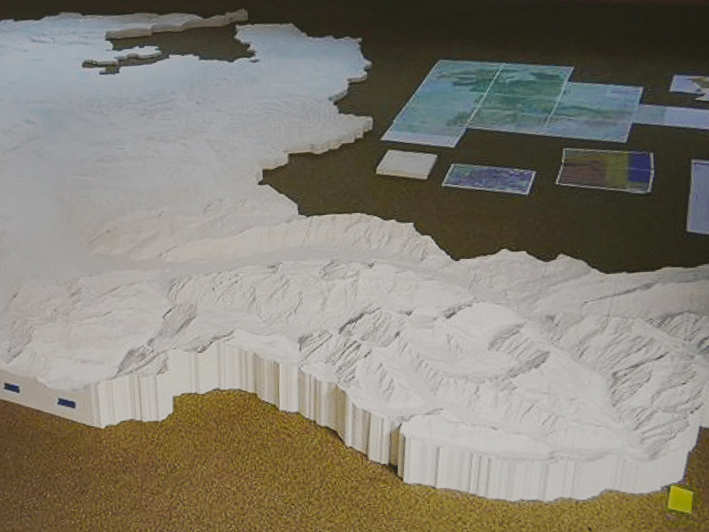
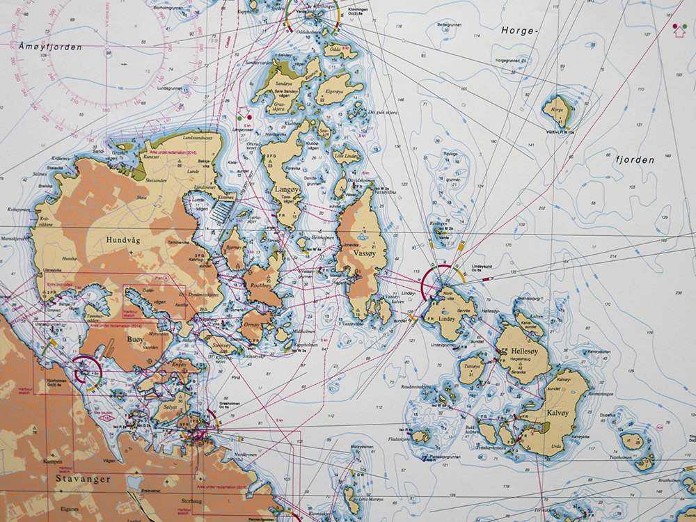
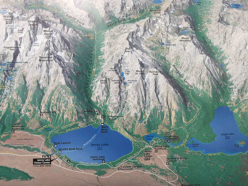
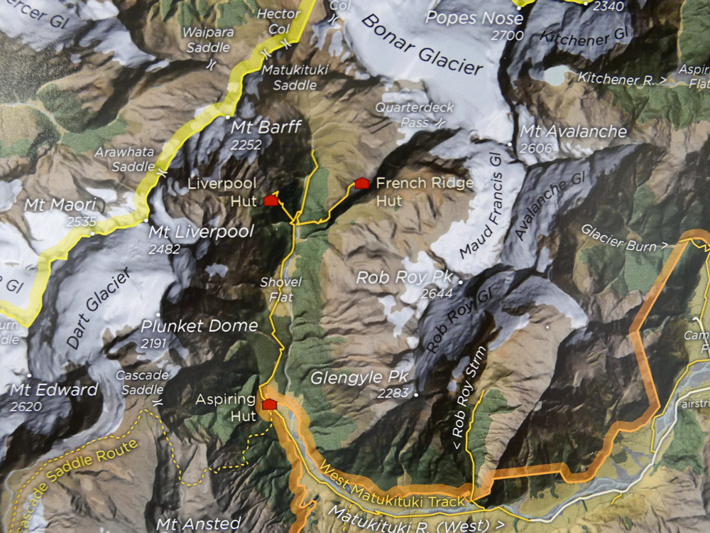
1st place: 3D Map Longyearbyen and environs (Norway)
A large format oblique view which represents the terrain in an attractive style. The detail invites you to explore. Artistic cartography at its best.
")
Congratulations to all winners!
All winners will be contacted to be featured in our Map of the Month section over the course of the next two years. For a full list of map products exhibited during ICC 2015, please check the PDF catalogue.
Photos and jury statements provided by Ken Field.