We invite you to participate in the 12th Mountain Cartography Workshop at Snow Mountain Ranch, Colorado, April 11—15, 2023.
Registration is already open!
For more information about the workshop visit www.shadedrelief.com/workshop/

We invite you to participate in the 12th Mountain Cartography Workshop at Snow Mountain Ranch, Colorado, April 11—15, 2023.
Registration is already open!
For more information about the workshop visit www.shadedrelief.com/workshop/
Update, March 2020: Sorry, this workshop had to be cancelled due to the coronavirus situation.
We invite you to participate at the 12th Mountain Cartography Workshop in the Colorado Rockies, April 14—18, 2020.
The workshop theme is People, Maps, and Mountains. All topics broadly relating to maps and mountains are welcome as are a variety of presentation formats: from full papers to technical demos.
Call for Presentations is already open!
For more information about the workshop and to submit your abstract, visit www.shadedrelief.com/workshop/
In partnership with the University of Zagreb, Faculty of Geodesy, the ICA Commission on Mountain Cartography is organizing its 11th ICA Mountain Cartography Workshop on the island of Hvar, Croatia. From May 21–25, 2018, we invite you to this beautiful venue in the Adriatic Sea and welcome you for numerous interesting excursions. The workshop will be hosted in hotels Pharos and Amfora in one of the most popular tourist destinations in Croatia – the city of Hvar.
The ICA Mountain Cartography Workshop brings together cartographers, geographers and others who want to discuss the current developments in mountain cartography and spatial data analysis and representations related to mountain environments. Main conference topics are (but not limited to):
Different presentation types are possible, from classic research papers to live software demonstrations and map discussions. With visits to the Hvar Observatory, St. Nikola and Pakleni Islands, the workshop includes outdoor thematic excursions, too.
Along with traditionally interesting scientific and professional programme and exchange of experiences among mountain cartographers from the whole world, there are many options for those interested for hiking and kayaking, local cuisine, charming beaches, historical sites or just strolling through the streets of the ancient Pharos. Our diversified programme with complementary activities will meet everyone’s interests.
Submit your abstract and take advantage of discounted early registration until February 28, 2018.
Find more information on the workshop web-site: science.geof.unizg.hr/cmc2018.
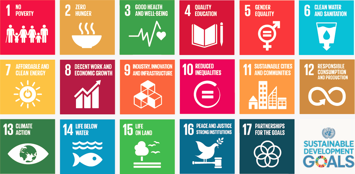
In the light of the International Map Year (IMY), the ICA and its commissions are highlighting the value of cartography by “mapping” the UN sustainable development goals.
In the past months, a set of posters has been created, one for each sustainable development goal. They do not map the goals and their target based on indicators as such. The poster series tells the story of cartographic diversity, of mapping options, and of multiple map perspectives. Each of the goals has been mapped from a particular perspective by different ICA Commissions. All posters have a short take-home-message that should make one aware of particular strengths of the map.
The posters as well as the catalog for the poster exhibition can be found on icaci.org/maps-and-sustainable-development-goals
A huge thank you to all commissions involved and to Wim Feringa from ITC for the poster design and production. Let’s make the world a better place with maps!
Menno-Jan Kraak
– President of the International Cartographic Association
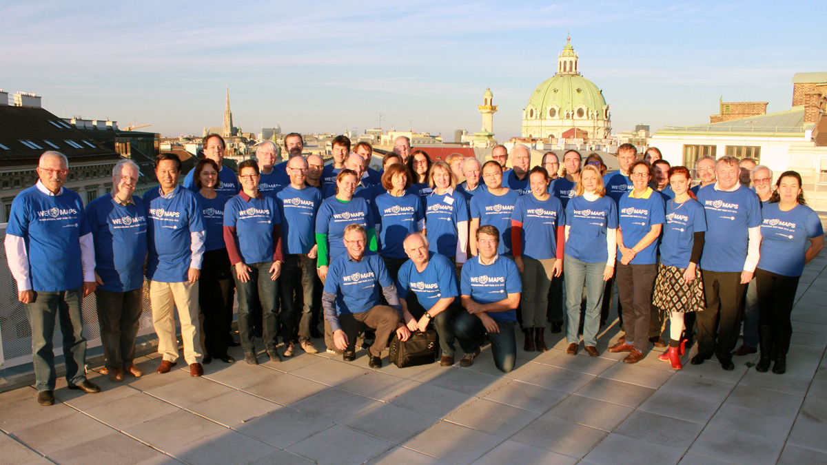
All chairs and vice-chairs of the ICA commissions and working groups were invited to join an ICA meeting in Vienna on 8–9 November 2015 to plan and discuss their activities for the term 2015–2019. 46 chairs, vice-chairs and members of the executive committee followed the invitation and spent two intensive workshop days at Technische Universität Wien.
 Julia Mia Stirnemann Commission on Art and Cartography
 René Sieber Commission on Atlases
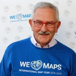 Evangelos Livieratos Commission on Cartographic Heritage into the Digital
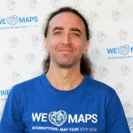 Mátyás Gede Commission on Cartographic Heritage into the Digital
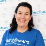 Carla Sena Commission on Cartography and Children
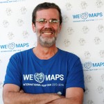 Jesus Reyes Commission on Cartography and Children
 Milan Konecný Commission on Cartography in Early Warning and Crisis Management
 Amy Griffin Commission on Cognitive Issues in Geographic Information Visualization
 Sidonie Christophe Commission on Cognitive Issues in Geographic Information Visualization
 David Fairbairn Commission on Education and Training
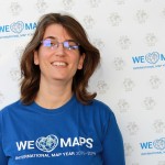 Cecile Duchene Commission on Generalisation and Multiple Representation
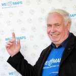 Horst Kremers Commission on GI for Sustainability
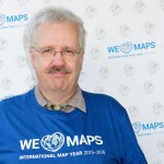 Imre Josef Demhardt Commission on History of Cartography
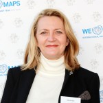 Mirela Altic Commission on History of Cartography
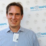 Jukka M. Krisp Commission on Location Based Services
 Haosheng Huang Commission on Location Based Services
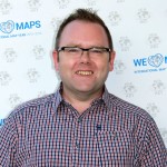 Kenneth Field Commission on Map Design
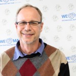 Peter Schmitz Commission on Map Production and Geoinformation Management
 Markus Jobst Commission on Map Production and Geoinformation Management
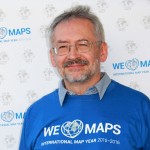 Miljenko Lapaine Commission on Map Projections
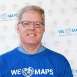 Rex Cammack Commission on Maps and the Internet
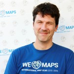 Dušan Petrovič Commission on Mountain Cartography
 Silvana Comboim Commission on Open Source Geospatial Technologies
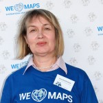 Irina Petrovna Karachevtseva Commission on Planetary Cartography
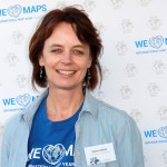 Serena Coetzee Commission on SDI and Standards
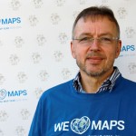 Franz-Josef Behr Commission on SDI and Standards
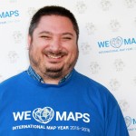 Alexander Kent Commission on Topographic Mapping
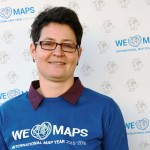 Anja Hopfstock Commission on Topographic Mapping
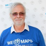 Paulo Menezes Commission on Toponymy
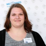 Alena Vondráková Commission on Use, User and Usability Issues
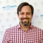 Anthony C. Robinson Commission on Visual Analytics
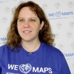 Urška Demšar Commission on Visual Analytics
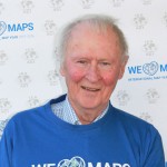 Bengt Rystedt IMY Working Group
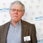 Ferjan Ormeling IMY Working Group
 Serena Coetzee IMY Working Group
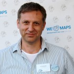 Vít Voženílek IMY Working Group
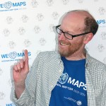 David Fairbairn IMY Working Group
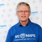 Menno-Jan Kraak ICA President
 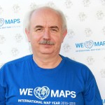 Laszlo Zentai ICA Secretary General and Treasurer
  Yaolin Liu ICA Vice President
  Vít Voženílek ICA Vice President
 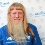 Lynn Usery ICA Vice President
 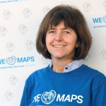 Monika Sester ICA Vice President
 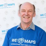 David Forrest ICA Vice President
 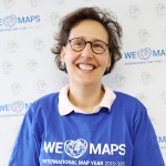 Sara Fabrikant ICA Vice President
 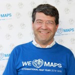 Georg Gartner ICA Past President
 More photos of the workshop can be found on the ICA Facebook page.
27 commissions and 3 working groups were elected for the term 2015–2019 by the ICA General Assembly 2015. We are currently in the process of updating the website to reflect these changes. Also some of the commissions are still preparing or updating their websites. In the meantime, we invite you to have a look at the short “Commissions at a glance” presentations, which the new commissions chairs gave during ICC 2015:
During ICC 2013 all commission chairs presented their commissions in a speed presentation. You can check out the presentation slides below (or via our ICC 2013 sub-page).
To depict elements of the topography of a landscape in a symbolic, abstract, geometrically sound but also eventually easily understandable way is a core discipline of cartography. Beneath all topographic elements of a landscape mountains are for sure amongst the most challenging ones to model and depict. Not only the derived geometry needs to fulfill the constraints of allowing a meaningful combination with other map elements but also the applied cartographic design should support the visual impression from the terrain features and especially the most dramatic ones, including the mountains itself.
It is therefore not a big surprise that beyond the most famous cartographers you can find especially such which have deserved their merits by designing and producing cartographic mountain depictions of high quality.
Within the International Cartographic Association the specific importance of this particular area of cartographic challenge has led to the foundation of the Commission on Mountain Cartography at the ICC 1999 in Ottawa. Since then this Commission, chaired by Lorenz Hurni from Switzerland from 1999-200 and Karel Kriz since 2007, has managed to attract ambitious cartographers and fascinating aficionados of all kind of different backgrounds being interested in mountain cartography. The unique spirit of this group has proven to be specific just recently when the Commission meet at their International Workshop at Tongariro National Park New Zealand. ICA Commissions are platforms for enthusiasts, experts and those which want to exchange and share their ideas, solutions and developments for the sake of the issue. The mountain cartography commission is fulfilling this role exactly and thus leads to an ongoing benefit to its members.
The merits of the recent meeting in New Zealand belong to the Commission Chairs, namely Karel Kriz and in replacement of Lorenz Hurni also Dusan Petrovic and Stefan Räber, but especially also to the colleagues from the local organizing committee Geoff Aitken, Roger Smith, Igor Drecki, Antoni Moore and Christian Fremd who not only organised the whole event but also managed to make everybody feeling most welcome in New Zealand.
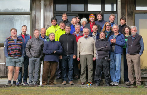
Participants of the 8th ICA Mountain Cartography Workshop
The next Mountain Cartography Workshop will be held in New Zealand near Taurewa, adjacent to the Tongariro National Park south of Auckland (North Island) between 1 and 5 September 2012.
The theme of the Workshop is Mapping Mountain Dynamics: from glaciers to volcanoes, in recognition of the unique natural environment of the host country New Zealand. The Workshop will focus on current developments in mountain cartography and present state of the art approaches to cartographic representations in large scale topographic mapping, symbolization and map design, as well as discuss technological issues, map use and links with Location-based Services (LBS).
Abstract submissions are welcome on any topic relating to mountain cartography, large scale topographic mapping, visualization of mountainous landscapes and artistic renderings and representations of terrain, and covering work of an academic and/or professional nature. Further details can be found on the invitation page.