Welcome to the International Cartographic Association
Welcome to the website of the International Cartographic AssociationGet to know the new ICA Executive Committee for the term 2023-2027
Welcome to the website of the International Cartographic Association
Get to know the new ICA Executive Committee for the term 2023-2027

Atlases in Time – Joint Commission Meeting in Madrid 2020 postponed to October

Please note: Due to the very uncertain situation caused by the emergence of the Corona virus, the local organizing committee together with the commission chairs decided to postpone the meeting in Madrid (original date: 22.–25. April).

The new date of the Joint Commission Meeting in Madrid will be 14.–17. October (Wed–Sat).

Further information is available through the Madrid2020 conference website: https://map-service.de/madrid2020/

Tag:

Invitation to the 8th International Symposium on the History of Cartography: Mapping the Ottoman Realm

Cover picture of the 8th International Symposium on the History of Cartography

In two months the 8th International Symposium of the ICA Commission on the History of Cartography will convene in Istanbul (Turkey). The online registration is now open. Detailed information is available on the conference website (https://history.icaci.org/istanbul-2020/), including:

  • list of 38 accepted presentations
  • link to register online
  • zoomable map to locate the venue in the heart of Istanbul

The Symposium is open to everyone with an interest in the cartography of the (former) Ottoman countries in Europe, Asia and Africa as well as the mapping of archaeological sites, landscapes and excavations. The Symposium is jointly hosted by the ICA Commission on the History of Cartography and the German Archaeological Institute (DAI) – Department Istanbul.

Questions can be directed to:

Tag: ,

First Call For Papers: 2020 ICA Workshop on Analytical Reasoning for Cartography, Visualization, and Design


Date: Monday 14 September 2020 (ahead of GIScience 2020)
Location: University of Warsaw | Warsaw, Poland
Workshop website: http://carto-vis-workshop.uw.edu.pl/

Purpose

It has been 15 years since visual analytics was first established as the science of analytical reasoning facilitated by interactive maps and visualizations. Since then, new models have been proposed to understand cognitive reasoning processes, new technologies have been released to support interactive, mobile, and immersive mapping, and new methods have been developed to examine and evaluate user experiences with analytical support systems. We call for research papers in cartography, visualization, and allied design fields to capture the state-of-science on visuospatial analytical reasoning.

Analytical Reasoning goes beyond simply noticing a pattern, and invokes a complex set of processes that aim to explain what has been seen, or to predict what will happen next. Creating the conditions in which users are able to reason about spatial information is a difficult task, and there are many challenges to overcome. This workshop invites short reports on ongoing and emergent work that aims to tackle one of the many dimensions in cartography that relate to supporting analytical reasoning. Broadly speaking, we are seeking work that focuses on understanding users, their cognitive processes, and/or their interactions with visual representations and computational methods via maps or geographic visualization. We welcome research that tackles these and related problem areas through computational, representational, or contextual methodological lenses. This workshop will provide a forum in which new approaches and ideas can be discussed and where new research collaborations can be formed.

Early stage work is explicitly encouraged, especially by junior scholars or those who might be new to cartography.

This workshop represents the joint efforts of the University of Warsaw Department of Geoinformatics, Cartography, and Remote Sensing in collaboration with the International Cartographic Association Commissions on Cognitive Issues in Geographic Information VisualizationVisual Analytics, and User Experience (UX).

Format

We invite two kinds of contributions. First, we seek two-page short papers on completed research. Two-page short papers should be prepared using the CHI format, with accepted papers receiving 20 minutes for presentation and discussion. Second, we seek 150-word abstracts on work in progress or early graduate proposal ideas. Short abstracts will receive 5 minutes for a lightning talk presentation with discussion following all lightning talks. Select papers may be encouraged for expansion into a special journal issue, depending on participation.

Short papers and abstracts will be reviewed by two program committee members to gauge appropriateness for the workshop.

Relevant topics include:

  • Geovisualization and visual analytics
  • Storytelling for improved comprehension of geographic processes
  • User experience design for expert systems
  • Visuospatial cognition and reasoning
  • Models of spatial cognition
  • Models of human visuospatial reasoning
  • Individual and group differences in spatial abilities
  • Wayfinding and navigation
  • Reasoning on the go with augmented and mixed realities
  • Thematic map design
  • Visual variables and visual semiotics
  • User perspectives on thematic cartography
  • Human-computer interaction
  • Immersive analytics
  • Understandable machine learning
  • Algorithms and spatial decision making
  • Spatial decision support systems

Submission Details & Important Dates

Papers and abstracts should be submitted using our EasyChair site located at: https://easychair.org/conferences/?conf=cartoviz20

  • 2-page paper deadline: 15 May 2020
  • Short abstract deadline: 1 June 2020
  • Notification of acceptance: 15 June 2020
  • Registration deadline: 31 July 2020

If you need a visa to Poland to participate, or have other questions about the workshop, please contact the local organizers at carto-vis-workshop@uw.edu.pl.

Registration

Please visit our workshop website for registration details: http://carto-vis-workshop.uw.edu.pl/

Tag: ,

First joint meeting of the ICA Executive Committee and new Commissions in Gent

On 23–24 November the entire Executive Committee met for the first joint working meeting with the newly elected Commission chairs (List of Commissions). Altogether, 22 out of 28 Commissions were present during the meeting in Gent, either through their chair or vice-chair.

On two exciting, busy working days Commission representatives and ICA officials got to know each other (better), learned about administrative guidelines and procedures for a smooth cooperation and dedicated themselves to common strategic tasks for the next four years. The President pointed out once more the important role that Commissions play in our society – it is through commissions, where the actual thematic work of ICA will be done that finally brings forward our discipline, advances cartography as a science and sets the standards for the quality and usage of our work.

During the first day, the EC members and Commission representatives actively discussed «burning issues» for all commissions and how the society and members in general could even better help commissions to achieve their goals. The second day was followed by a presentation on the new ICA publication on the UN Sustainable Development Goals which was the successful result of a joint commission effort in the past. The final topic to conclude the meeting consisted of an intense discussion and group work on the best means and ways to join forces between commissions, which lead to already very concrete steps for the near future.

The next joint meeting of the Executive Committee and the ICA Commissions will take place on 19 September 2020 in Vienna on the occasion of the EuroCarto 2020 conference. ICA President Tim Trainor and Secretary General Thomas Schulz already look forward to this meeting and seeing the first results of our work commences in Gent.

We thank everyone present for making the long way to Belgium and actively participate in this fantastic meeting!


Tag:

Invitation to the 16th International Conference on Location Based Services (LBS 2020)

The ICA Commission on Location Based Services and  University College London (UCL) are pleased to invite you to the 16th International Conference on Location Based Services (LBS 2020), which will take place in London, UK on 11–13 November 2020.

Built on the success of previous conferences in this series, LBS 2020 aims to offer a common ground to colleagues from various disciplines and practice where they can meet, interact and exchange knowledge, experience, plans and ideas on how LBS can and could be improved and on how it will influence both science and society.

Call for Papers

The Call for Papers is currently open. We call for full papers, work in progress, and showcases. High-quality full paper submissions are intended to be published in Springer Lecture Notes in Geoinformation and Cartography. The best full and work in progress papers will be invited to submit an extended version to the Journal of Location Based Services and Journal of Navigation.

Important Dates

  • Pre-conference workshop and exhibition proposal: 15 March 2020
  • Full paper submission: 15 May 2020
  • Work in progress submission: 14 June 2020
  • Notification of full paper acceptance: 10 July 2020
  • Notification of work in progress acceptance: 01 September 2020
  • Camera-ready full paper (for the Springer book): 01 September 2020
  • Showcase submission: 13 September 2020
  • Early registration ends, author registration deadline: 13 September 2020
  • Camera-ready work in progress: 01 October 2020

More information regarding LBS 2020 can be found at lbs2020.lbsconference.org. We are looking forwards to your contributions and to meeting you in London!

ICA workshops at AutoCarto 2020

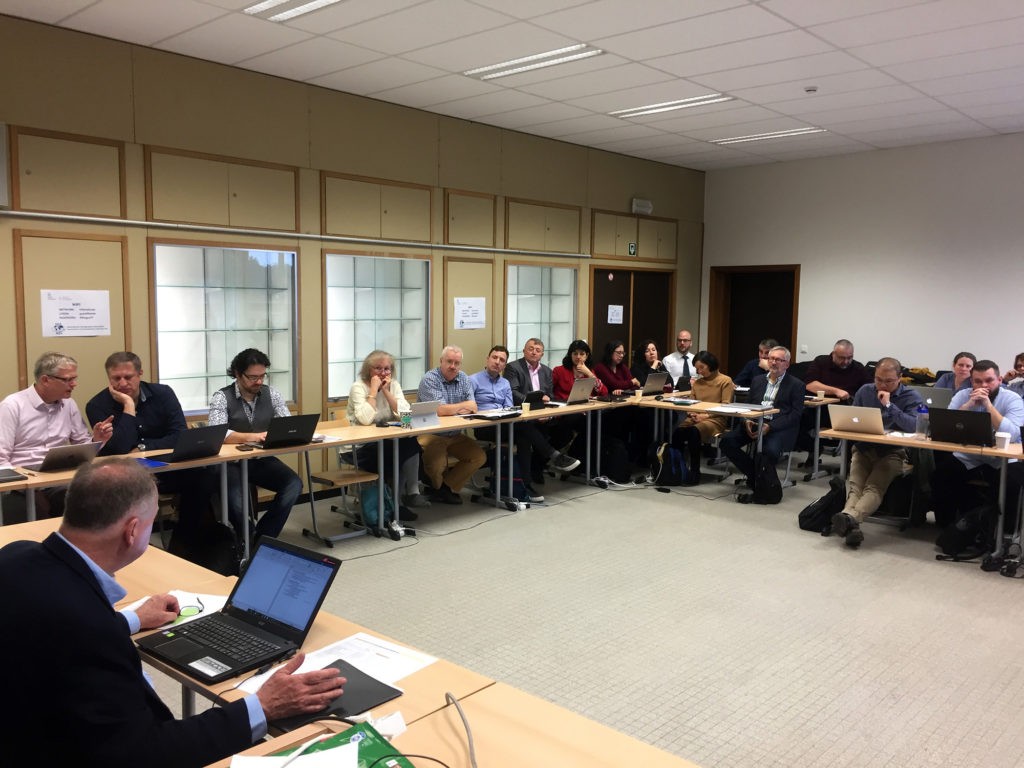
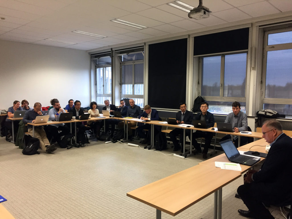
AutoCarto 2020 will take place on the Esri campus in Redlands, CA, May 20–22, 2020. In advance of the conference, workshops will be held on Tuesday, May 19th. They range from 90 minutes to full-day workshops. Three of them are associated to ICA commissions:

Geospatial Semantics Modeling and Visualization; the First Workshop of the International Cartography Association Commission on Geospatial Semantics

Geospatial ontologies formalize representations for sets of interrelated concepts based on their semantics from theoretical and applied perspectives. The representation and reasoning of geographic knowledge must be cohesive with many interrelated disciplines, including: language, logic, cartography, social theory, geospatial analysis, and programming. To advance research in geospatial knowledge representation and reasoning, the International Cartography Association (ICA) is sponsoring a Commission on Geospatial Semantics (CGS). The CGS will solicit abstracts for presentations on both theoretical and applied aspects of geospatial and cartographic ontologies for the First Workshop of the CGS. This half-day workshop will bring together expert and newly interested specialists and technologists from across geospatial informatics to network and develop an agenda to advance the broad role of semantic technologies in geographic information science.

Prior to the meeting we encourage prospective attendees/participants to examine the agenda and guidelines at the CGS web site (to be provided with the announcement). A range of potential topics will be suggested for the workshop and opportunities will be provided for those interested in the day’s agenda to register a topic or an issue to be included. We will accept and cover complex issues for discussion. Participants will have the opportunity to develop papers within this framework for publication by the ICA prior to the International Cartography Conference in Florence, Italy in 2021. A secondary activity immediately before the research workshop is to offer participants a hands-on tutorial addressing basic concepts of geospatial semantics with the aim of expanding the community of scholars interested in the field. This workshop will also offer an opportunity for semanticians to formalize concepts using a compatible technology where more widespread forms of geographic information systems (GIS) are inflexible.

Scholars interested in presenting a paper or participating in the session as a discussant will be able to submit their abstract through the standard submission procedures whose guidelines will be provided. The CGS will cooperate and correlate all activities with the AutoCarto 2020 organizers.

For a proposed agenda, download this PDF.

Please submit abstracts for this workshop through EasyChair.

  • Organizers:
  • Duration: 4 hours
  • Participants: The tutorial is open to everyone attending AutoCarto 2020.

Map Projections – Practical Selection and Use with Current Research Directions: Workshop of the International Cartography Association

Map projections are a critical part of any map design and creation. The plethora of projections that exist allow a user to select an appropriate map projection to preserve the global characteristics that are critical to the map design. Unfortunately, many users of maps and geospatial information have little understanding of map projection concepts and are not able to determine a correct map projection for the type and purpose of the map being created. This workshop will thus include a brief tutorial on map projection concepts, selection, and use. The tutorial will also include presentation of existing tools to aid in selecting the correct map projection. The workshop will conclude with several presentations of current research in map projections.

Prior to the meeting we encourage prospective attendees/participants to examine the agenda and guidelines at the Commission on Map Projections web site. Participants will have the opportunity to develop papers within this framework for publication by the ICA prior to the International Cartography Conference in Florence, Italy in 2021.

For a proposed agenda, download this PDF.

  • Organizers:
    • E. Lynn Usery, U.S. Geological Survey, usery@usgs.gov, Chair Projections Commission
    • Miljenko Lapaine, University of Zagreb, mlapaine@geof.hr, Vice-Chair Map Projections Commission
  • Duration: 3.5 hours
  • Participants: Anticipated number of attendees, 10; maximum 20.

Cartographic and Geospatial Information Education: from Classroom to Anywhere

Conventionally, cartography has been mostly taught in classrooms with lectures and exercises, aiming to enhancing peoples’ map reading capabilities and map making skills. Nowadays, the general public has access to the wide spread of web map services, navigation apps on smart phones and open source software and datasets at no cost. Background knowledge of students entering professional training on cartography today is very different from those ten years ago. The body of knowledge for cartography and GIS has been transforming continuously by incorporating new ideas from applications and interdisciplinary research. Suites of online courses incorporate some of the new concepts and technologies and make teaching cartography and GIS more flexible and practical. Educators have been conducting reflections on these changes, which can be observed from publications in many conferences and journals.

This workshop serves as a forum to share the latest practices and insights on cartographic and GIS education in a rapidly changing landscape. The topics can include but limited to new course contents, curricular design, incorporation of online courses, education resources using open source software and datasets, teaching experience to non-specialists.

Please use the AutoCarto 2020 template and contact the organizers for submissions and detailed information.

  • Organizers:
    • Tao Wang, Capital Normal University, Beijing, China, wangt@cnu.edu.cn
    • Terje Midtbø, Norwegian University of Science and Technology, Trondheim, Norway, terjem@ntnu.no
  • Duration: 90–100 minutes (~6 presenters)
  • Participants: We expect 20–30 attendees to join the session.


An overview over all workshops at AutoCarto 2020 can be found here.

Tag: ,

Atlases in Time – Invitation to Joint Commission Meeting in Madrid 2020

Please note: Due to the very uncertain situation caused by the emergence of the Corona virus, the local organizing committee together with the commission chairs decided to postpone the meeting in Madrid. The new date of the Joint Commission Meeting in Madrid will be 14.–17. October (Wed – Sat).

Further information is available through the Madrid2020 conference website: https://map-service.de/madrid2020/

On the occasion of 150 year anniversary celebration of the National Geographic Institute of Spain (IGN) – the publishing institution of the National Atlas of Spain – the ICA Commission on Atlases and the ICA/IGU Commission on Toponomy together with the IGN organize a symposium on Atlases and Toponomy from the 21 to the 25th April 2020 in Madrid. During three sessions questions concerning evolving dissemination concepts and techniques for atlases, recent development and examples of National Atlases as well as related important toponomastic issues will be discussed.

Date: 22.–25. April 2020
Venue: Instituto Geográfico Nacional (IGN), Madrid, Spain
Good to know: The Symposium is FREE OF CHARGE!

Call for Abstracts

Presentations will be held in a classic 20 min format of 15 min talk and 5 min discussions, and also in a 5 min lightning format, where you can bring in specific challenges (not solved yet) or new ideas. A publication of the contributions as papers or abstracts will be realized.

Deadline for Abstract Submission: 15. February 2020
The abstract should not exceed 500 words and can be submitted as .docx or .pdf-file.

Abstract submission, a preliminary timetable and further information can be accessed via the symposium website: map-service.de/madrid2020

Online Registration will open in February 2020.

Tag: ,

Outcome of the first meeting of the new ICA Executive Committee in Gent

On 22 November the newly elected Executive Committee met for the first physical meeting during the 2019‒2023 term in Gent (Belgium).

A full day of intense discussions and a huge list of work items on the desk set out the agenda for ICA for the next four years. Following ICA’s Strategic Plan and the President’s motto, that «Maps make a difference» and that «Cartography is more relevant than ever today in an increasingly complex world», the EC discussed next steps and necessary actions in order to reach these goals and make our discipline and society visible and heard by decision makers and a larger audience.

The Executive Committee at the commission meeting in Ghent, Belgium

The Executive Committee at the commission meeting in Ghent, Belgium

Achieving the goals of the next term is of course a collaborative project that the EC, national members, affiliate members and ICA commissions need to undertake together. Every member of the Executive Committee has an important role to play in this context as a coordinator, enabler and facilitator. Hence, each EC member were given specific tasks and roles for the next four years. And all Vice-Presidents were assigned a liaison with commissions and working groups. The list of Liaisons for all current ICA commissions can be found here: https://icaci.org/executive-committee/

4 new Working Groups for the term 2019‒2023

As some of the strategic tasks that the new Executive Committee wants to tackle during the next term are very specific or transversal in character and not fully covered by existing commission work, four new Working Groups were set up by the EC during the meeting:

  • Cartography and Sustainable Development (Philippe De Maeyer)
  • Cartographic Body of Knowledge (Terje Midtbø)
  • History of ICA (László Zentai)
  • New Research Agenda in Cartography (Liqiu Meng)

The respective EC members (in brackets) will help with startup and organization, find members and supporters, and lay out the work schedule for the next 4 years.

Nominations of Heads of Committees and ICA Officers

Furthermore, the EC nominated the new Heads of ICA Committees and Officers to the ICA Secretariat who will help to keep the society running and inform members and the public in the best possible way through the various channels. Congratulations to the following nominations for the next term 2019-2023! It is a pleasure to work (or continue to work) together with this excellent team!

  • Publication Committee – Georg Gartner (AT)
  • Statutes and By-laws Committee – Derek Clarke (SA) & Christine Zanine (FR)
  • Selection of Award Recipients Committee – Ferjan Ormeling (NL)
  • eCarto Newsletter Editor – David Fraser (AU)
  • ICA News Editor – Igor Drecki (NZ)
  • ICA Webmasters – Manuela Schmidt & Felix Ortag (AT)
Tag:

Announcement of Seminar on Intelligent Emergency Surveying and Disaster Risk Reduction Mapping Service

Since the countries in Asian regions are currently facing the challenges of frequent disasters, it is more important to fast and intelligent surveying and mapping. In order to improve the capability of emergency mapping support of Asian countries in response to sudden disasters, the Chinese Academy of Surveying and Mapping organizes the Seminar on Intelligent Emergency Surveying and Disaster Reduction Mapping Service, which focuses on exploring new theories, technologies, methodologies and products for intelligent emergency surveying and disaster reduction mapping services because of the significance of rapid perception, accurate measurement, intelligent analysis and forecasting and warning of geospatial information in the process of natural disasters and urban emergency response management. This seminar would provide a technical exchange platform for improving intelligent emergency surveying and disaster reduction mapping in developing countries in Asia.

Time and Location

  • Time: December 10–12, 2019
  • Location: Huandao Tide Hotel, Haikou, Hainan, China

Conference Theme

  • Disaster Management and Emergency Preparedness, Prevention, Alert, Response and Mitigation
  • Multi-Dimension Disaster Information Processes Intelligent Modelling, Applications and Services
  • Geospatial Analysis and Data Mining
  • Intelligent and self-adaptive Disaster Cartography
  • Disaster Risk Analyses and Mapping Using Social Big Data
  • Mobile Disaster Cartography
  • Disaster Big Data Processing and Sharing
  • Remote Sensing Technologies and Applications for Disaster-related Cartography
  • Adaptive Emergency Positioning
  • Intelligent Management of Disaster Models

Participants

Nearly 50 experts from China, Russia, Poland, Switzerland, and Japan will attend the seminar of Intelligent Emergency Surveying and Disaster Reduction Mapping Service (five foreign experts are planned).

Organization

The event is organized by the ICA Commission on Cartography in Early Warning and Crises Management and the Chinese Academy of Surveying and Mapping.

Co-organized by the Hainan Administration of Surveying Mapping And Geoinformation, Chinese Society for Geodesy Photogrammetry and Cartography Instrument and Equipment Committee

Schedule

  • 10 December: Registration
  • 11–12 December: Opening Ceremony, Report Exchange, Technical Visit
  • 13 December: Return

Contact

Invitation to Workshop on Indoor Cartography

The ICA Commissions on User Experience, on Location Based Services and on Cognitive Issues in Geographic Information Visualization, are pleased to announce the first call for papers on the Joint Workshop Indoor Cartography as part of the Cognition and Artificial Life Conference 2020 which takes place June 10–12, 2020 in Znojmo, Czech Republic.

The workshop considers an understudied map use context, that of using maps to navigate and understand indoor environments. As urban areas and individual buildings grow increasingly complex and people rely more and more on devices to assist in the navigation of these spaces, knowing how to design maps of the indoors well is becoming more important. It’s unclear what current map design principles transfer well to indoor maps (Griffin, White, et al. 2017), or what methods of map interactions might best support uses of maps in such contexts as well as what field methods can be used to study these map uses in ecologically valid ways (Roth et al., 2017). This workshop aims to focus attention on such issues and how we can better understand and support the design, use and wider implications of indoor maps.

The conference and the workshop is a cross-disciplinary platform intended to share and exchange knowledge between specialists in cartography, geoinformatics, psychology, cognitive science, neuroscience, informatics, and related fields.

The deadline for abstracts is 29 February 2020.

More information will be available on the conference website.

rawboned-refined