During the 8th GeoSUR Meeting, held in Cartagena de Indias, Colombia, the Digital Map of Mexico developed by INEGI (national member of ICA in Mexico), was awarded.
GeoSUR is a program that maintains a network of geographic information in Latin America and the Caribbean where eighty participating institutions operate map services that are currently linked to the regional portal. The award recognizes data application, service development, or geospatial information products having particular characteristics of innovation and relevance. In this edition, it was awarded the Digital Map of Mexico, given its easy access and its use of spatial data – aspects that stood out among the various proposals in the competition.
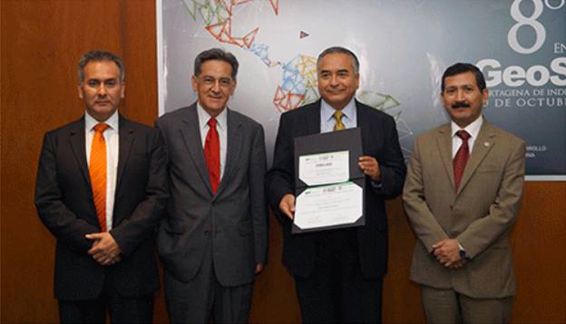
Mr. Carlos Guerrero, Director General of Geography and Environment of INEGI-Mexico, showing the 2015 GeoSUR award, given to the Digital Map of Mexico. On his right Santiago Borrero, GeoSUR Program Coordinator and on his left Rodrigo Barriga, Secretary General of the Pan-American Institute of Geography and History (PAIGH).
On behalf of INEGI, the award was accepted by geographer Carlos Guerrero Elemen and Director General of Geography and Environment, who also presented three papers: Progress in Caribbean Project (proposal by the National Section in Mexico); Integrating Statistical and Geographical Information, and Open Geospatial Data by INEGI.
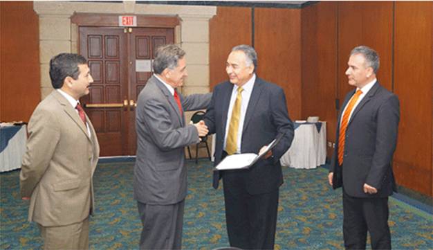
Mr. Carlos Guerrero, receiving the 2015 GeoSUR award from Mr. Santiago Borrero Mutis.

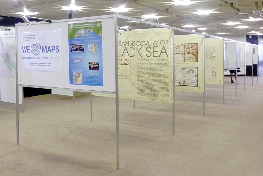
 Four countries (Croatia, Macedonia, Kosovo and Bulgaria) participated and were represented by the following companies and organizations: