Welcome to the International Cartographic Association
Welcome to the website of the International Cartographic AssociationGet to know the new ICA Executive Committee for the term 2023-2027Get to know the ICA Commissions for the term 2023-2027
Welcome to the website of the International Cartographic Association
Get to know the new ICA Executive Committee for the term 2023-2027
Get to know the ICA Commissions for the term 2023-2027

President’s Blog: A gathering of the ICA people – the ICA Retreat in Vienna

Many persons are involved in our organization. They have different roles, different background and different ideas. In order to learn to know each other better, to synchronize our understanding of “our” ICA and to allow for taking on board all those rich ideas, perspectives and thoughts all Executive Committee Members, Commission Chairs and Co-Chairs, Working Group Chairs and further ICA officers met at the Technische Universität Wien in Vienna, Austria from 22.3.2024 to 24.3.2024 for an intense working meeting.

The agenda included several information presentations on issues of mutual concern, several group-works and workshops and simply time to meet, discuss and be part of ICA.

In the unique venue of the “Kuppelsaal” of the Technical University of Vienna we found enough space and inspiration to gather and work together.

At the ICA retreat at TU Wien Kuppelsaal, Vienna, Austria 2024

At the ICA retreat at TU Wien Kuppelsaal, Vienna, Austria 2024

The meeting started with an introduction from President Georg Gartner on the nature, aims and scope and mission of the International Cartographic Association. It is really the global voice for Cartography and GIScience and the motto “We love maps” is a common nominator for all of us.

In order to learn to know each other better we performed a group work, where we paired in two to be able to introduce always the other person accordingly.

We then collected ideas about the questions:

  • What would you like to give to the ICA community?
  • What would you like to get from ICA?

which resulted in a long and rich list of relevant items.

Dusan Petrovic, Pyry Kettunen and Francis Harvey working hard and having fun at the retreat at TU Wien Kuppelsaal, Vienna, Austria 2024

Dusan Petrovic, Pyry Kettunen and Francis Harvey working hard and having fun at the retreat at TU Wien Kuppelsaal, Vienna, Austria 2024

Having set the tone for the meeting with this we then dived into several existing structures, instruments and elements of ICA, such as the ICA Webservices (presented by Webmaster Manuela Schmidt), the International Journal of Cartography (presented online from the Editors Anne Ruas and William Cartwright), the ICA Publication Regime (presented online from Publication Committee Chair Menno-Jan Kraak), the ICA Executive Committee (presented by President Georg Gartner and Secretary-General Thomas Schulz), the ICA Commissions and their Administration (presented by Secretary-General Thomas Schulz), the ICA Conferences (presented by Vice-President Serena Coetzee), the ICA memberships, MoUs and relations to other organisations (presented by Past-President Tim Trainor), the ICA Research Agenda (presented by Vice-President Haosheng Huang), the ICA Body of Knowledge (presented by Working Group Chair Terje Mitbo).

Inbetween further group interventions took place, refering to the idea of synchronizing our understanding of the core concept of our organization (What is a map?), identifying and presenting commission and working group plans and synergies (led by Vice-President Dusan Petrovic), a SWOT (Strengths-Weaknesses-Opportunities-Threads) – Analysis of ICA (led by Vice-President Alex Kent), a open mic session on ideas and visions (led by Vice-Presidents Amy Griffin, Jiping Liu and Dariusz Dukaczewski).

The ICA “people” in front of the Karlskirche during the ICA retreat, Vienna 2024

The ICA “people” in front of the Karlskirche during the ICA retreat, Vienna 2024

Socializing opportunities despite the amical, fruitful and constructive working atmosphere have been taken on a joined short “CartoWalk” around Karlsplatz and joined meals.

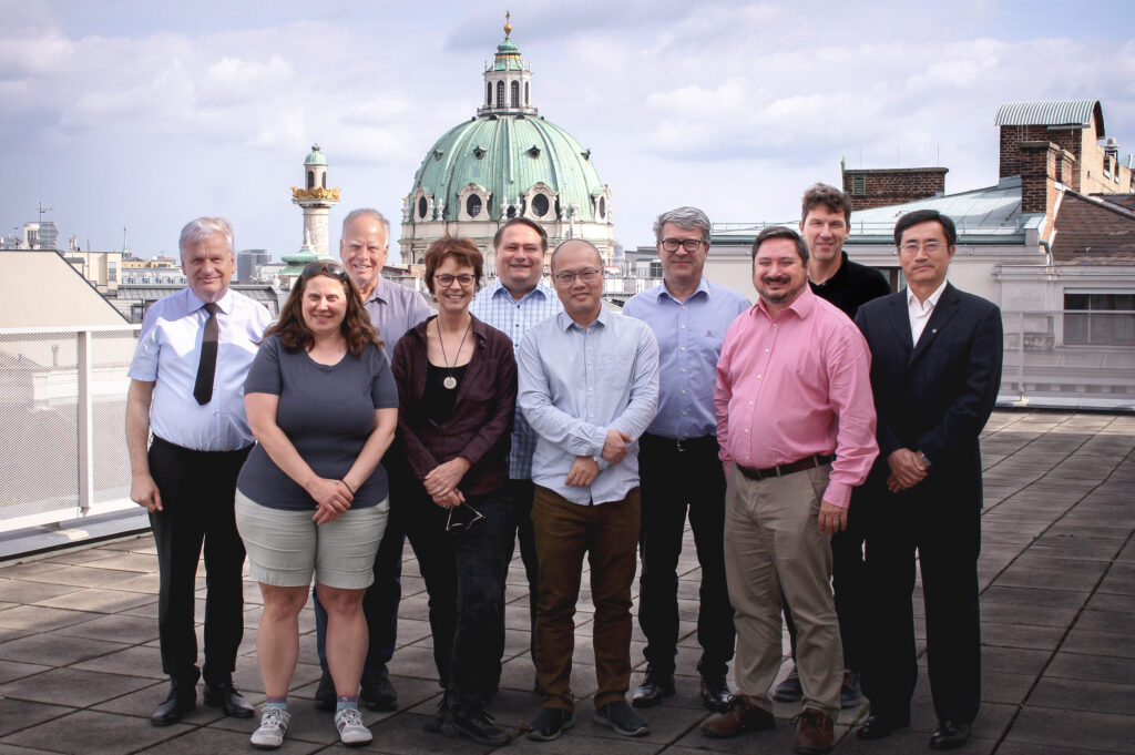
Participants of the ICA retreat in front of the Technische Universität Wien, Vienna 2024

Participants of the ICA retreat in front of the Technische Universität Wien, Vienna 2024

The event proofs my feeling right again, that ICA is really more like a family – it is such a privilege to be able to cooperate with so many bright, motivated, enthusiastic, fantastic scholars and persons!

List of Participants

Executive Committee

  • President: Georg Gartner
  • Past President: Timothy Trainor
  • Secretary-General and Treasurer: Thomas Schulz
  • Vice President: Serena Coetzee
  • Vice President: Dariusz Dukaczewski
  • Vice President: Amy Griffin
  • Vice President: Dusan Petrovic
  • Vice President: Haosheng Huang
  • Vice President: Alexander Kent
  • Vice President: Jiping Liu

Commission Chairs and Co-Chairs

  • Art and Cartography: Taien Ng-Chan
  • Atlases: Vitek Vozenilek, Eric Losang
  • Cartographic Heritage into the Digital: Matyas Gede
  • Cartography and Children: Silvia Marinova
  • Cartography and Sustainable Development: Britta Ricker
  • Cartography in Early Warning and Crisis Mgmt: Christophe Lienert, Jie Shen
  • Cognitive Issues: Tumasch Reichenbacher, Pyry Kettunen, Petr Kubicek
  • Digital Transformation of Mapping Agencies: Bin Jiang
  • Education and Training: Tao Wang
  • Ethics in Cartography: Aileen Buckley
  • GeoAI: Samantha Arundel
  • Geospatial Analysis and Modelling: Xintao Liu
  • Geospatial Semantics and Ontology: Francis Harvey
  • Geovisualization: Florian Ledermann, Arzu Cöltekin
  • High-Definition Maps: Qingyun Du
  • Integrated Geospatial Information: Anja Hopfstock, Kathryn Arnold
  • Location Based Services: Jukka Krisp
  • Map Design: Ian Muehlenhaus
  • Map Projections: Krisztian Kerkovits
  • Maps and the Internet: Otakar Cerba
  • Marine Cartography: Ron Furness, Lysandros Tsoulos
  • Mountain Cartography: Patrick Kennelly
  • Multi-scale Cartography: Guillaume Touya, Izabela Karsznia
  • Topographic Mapping: David Forrest, Lukas Halik
  • Toponomy: Matjaz Gersic
  • Ubiquitious Mapping: Toru Ishikawa, Angela Schwering, Armand Kapaj
  • User Experiences: Robert Roth

Working Group Chairs and Co-Chairs

  • Next Generation Cartographers: Katarzyna Slomska-Przech, Chelsea Nestel
  • Inclusive Cartography: Jakub Wabinski, Vincent van Altena
  • Body of Knowledge: Terje Mitbo

President’s Blog: AutoCarto became CaGIS + UCGIS Conference

The Cartography and Geographic Information Society (CaGIS) has joined forces with the University Consortium for Geographic Information Society (UCGIS) to organize a joint CaGIS and UCGIS conference in Columbus, Ohio, on June 3-6, 2024, replacing the traditional and popular AutoCarto Conferences. The theme of the meeting was Climate Smart GIScience: Mapping a Sustainable Future.

The final program offered 13 research papers, 3 vision statements, 21 lightning talks and 18 posters, two fantastic plenary speakers (Derek Arndt, Director of the National Oceanic and Atmospheric Administration’s (NOAA) and Dr. Virginia Burkett, Chief Scientist for Climate and Land Use Change, International Programs, U.S. Geological Survey), highlighting the necessity to be aware of the role of cartography and GIScience for climate change awareness and actions.

By participating in a panel on “Climate Smart Growth for Organisations” I was able to discuss and identify issues of responsibility for sustainable actions in an organization like ICA with Kari Craun (CAGIS), Aaron Addison (WGIC), Harvey Miller (UCGIS) and Patricia Carbajales (UCGIS). Ideas included discussion on quantity and quality of meetings, differentiated understanding of the functions of meetings and which format (online, in-person) matches with those functions, attributes of venues (accessibility) and governance of organization in general. ICA is taking its responsibility in this respect serious and will follow this up accordingly.

Georg Gartner giving a keynote at the CAGIS-UCGIS Conference, Columbus, Ohio 2024

As ICA is endorsing this conference as a Regional Cartographic Conference it is of imminent importance, to have the ICA aims and scope being reflected and visible in the program and activities. Also, young scholars have been entitled to apply for an ICA scholarship. A record number of 24 young scholars have benefited from this ICA instrument!

ICA Scholarship Winners on the stage at the CAGIS-UCGIS Conference, Columbus, Ohio 2024 after receiving their awards from Past President Tim Trainor and President Georg Gartner

President’s Blog: A landmark conference in Eastern Europe

The already 9th International Conference on Cartography and GIS has taken place in Bulgaria this time in Nessebar from 16-21 June 2024. The ICCGIS is a biannual conference that started in 2006 and had attracted attendees from more than 60 countries and has published more than 700 scientific papers in its proceedings.

The event has been organized by the Bulgarian Cartographic Association and the University of Architecture, Civil Engineering and Geodesy of Sofia, namely by Silvia Marinova and Temenoujka Bandrova. ICA is endorsing this conference, as it gives Cartography an international platform and allows to collect knowledge and share experiences about the latest achievements of Cartography and GIS.

Despite more than 100 presentations and  31 poster presentations four ICA Commission held their meetings at Nessebar, the Commission on Cartography and Children chaired by Silvia Marinova, the Commission on Cartography in Early Warning and Crisis Management with co-chairs Shen Jie and Christophe Lienert the Commission on Maps and the Internet chaired by Otakar Čerba and the Commission on Map Projections, chaired by Krisztian Kerkovits.

The organisers managed to have the presidents of ISDE (Alessandro Annoni), ISPRS (Lena Halounova) and ICA (Georg Gartner) being present, identifying the mutual interests of those societies and associations to contribute to global challenges by the means of cartography, GIScience and the wider geospatial industries.

Group picture

Participants of the 9th International Conference on Cartography and GIS, 18.6.2024, Nessebar (Bulgaria)

ISPRS President Lena Haounova and ICA President Georg Gartner

ISPRS President Lena Haounova and ICA President Georg Gartner at the 9th International Conference on Cartography and GIS, 18.6.2024, Nessebar (Bulgaria)

Otakar Cerba, Chair of the ICA Commission on Maps and the Internet, reporting on the commisson work

Otakar Cerba, Chair of the ICA Commission on Maps and the Internet, reporting on the commisson work and plans at the 9th International Conference on Cartography and GIS, 18.6.2024, Nessebar (Bulgaria)

Tag:

President’s Blog: Get your hands on! Check out what the pre-conference workshops of EuroCarto 2024 have to offer

The EuroCarto 2024 conference will take place from 9—11.9.2024 at Vienna, Austria. This conference will again see more then 180 contributions in oral presentations, posters and exhibitions demonstrating the wide range and contemporary character of cartography.

A number of pre-conference workshops are offered on Sunday, September 8, 2024 at TU Wien for the conference participants, covering a wide range of contemporary and highly relevant topics of cartography to be discussed in an interactive manner. I am sure there is something interesting for every cartographer included!


Barrier-Free Cartography

The ICA’s Working Group on Inclusive Cartography was established earlier this year to continue and extend the work of the former Commission on Maps and Graphics for Blind and Partially Sighted People. The primary objective of this working group is to advance the accessibility of cartographic products to all users and communities.

The idea is that special needs are not strictly related to physical aspects, and can also be related to social and educational aspects. These are also reflected in the UN’s SDGs that aim to “…ensuring that no one is left behind…”. Individuals with special needs remain underrepresented in the field of cartography. This underrepresentation may stem from the intricate and nuanced nature of their requirements, coupled with the need for highly tailored solutions. But what exactly are their needs? How can we define, develop, and promote barrier-free cartography, and who are the users that will benefit from accessible maps? We aim to provide a forum to address these questions and provide answers during the barrier-free cartography workshop.


Building the road to AI – how cartography links data integration, meaning and geospatial knowledge transmission

All countries need geospatial information to address their national strategic priorities. However, all countries have different levels of geospatial maturity. The United Nations Integrated Geospatial Information Framework (UN-IGIF) provides a basis and guide for developing, integrating and strengthening national arrangements in geospatial information management.

In this workshop, hosted by the ICA Commission on Integrated Geospatial Information for Cartography and Commission on Topographic Mapping, you will learn more about the development and activities of the UN-GGIM and UN-IGIF, how countries across Europe can adopt and implement the framework, how data can be provided via national Geoportals and how cartography builds the road to AI.


Collaborative mapping of commissions beyond the International Cartographic Association (ICA)

This workshop will allow participants to critically evaluate a landscape of map conceptions shaped by the ICA commissions. Drawing upon the work of the Iconoclasistas collective, the conception of a map as a collaborative practice will be explored. Through participatory methods, this workshop will reveal cartographic spaces where the ICA has yet to venture, both geographically and epistemologically.


Indoor location-based services (Indoor LBS)

The research on indoor LBS is not trivial. On the one hand, its design closely depends on both indoor themes (e.g., airports, shopping malls) and target users (e.g., passengers under time pressure, visually impaired customers). Therefore, there is a huge need to investigate the indoor LBS requirements and guarantee its usability. On the other hand, the emergence of agents, such as air drones and service robots, results in more diverse indoor LBS with various indoor map formats, including floor plans, BIM models, depth images, and point clouds. However, this is also challenging to communicate indoor spatial information among different agents and collaboratively provide indoor LBS for human users as well as other agents. The workshop is organized by the ICA Commission on Location Based Services.


Mapping Future Courses: Bridging Old and New in Cartographic Education for Europe

The ICA Commission on Education and Training, the ICA WG on Cartographic Body of Knowledge, and the ICA Commission on Digital Transformation of National Mapping Agencies are organizing a workshop, Mapping Future Courses: Bridging Old and New in Cartographic Education for Europe. The workshop brings together experts to share their latest thoughts and best practices on how to include new digital technologies and tools in cartographic education, including GIS, remote sensing and geomatics education. It will be a combination of oral presentations and live discussions.


Multiperspective Cartography in Conflict Visualisation

This workshop explores approaches, potentials and limitations of visualising multiple perspectives in peace and conflict cartography. It addresses complexities and uncertainties in how maps politicise space, and challenges in integrating critical perspectives in day-to-day cartographic research and practice. The engagement of maps with multiple perspectives is expected to enable discussions on scientific authority, transparency, and trustworthiness, as well as inclusion of bottom up and personal perspectives. The workshop takes up a reflective practice approach, starting from discussing existing examples of multiperspectivity in maps and visualisations (via short presentations). From there, participants work in groups on collecting and reviewing cartographic practices that engage with multiple perspectives in terms of both map analysis and production. The workshop aims to deliver an outline of a multiperspective approach to visualising peace and conflict, with the ambition of gathering a cartographic community around the topic.


Online User Experiments: Seeing What Map Users See without Seeing Them

This workshop is designed for researchers, practitioners, and students interested in conducting online user experiments in cartography with a special focus on webcam eye tracking to study map users’ behavior. Building up from a previous ICA workshop on “Workshop on Adaptable Research Methods For Empirical Research with Map Users”, we aim to collaboratively explore the possibilities and boundaries of the current state of conducting online experiments to inform cartographic practice and map use. This workshop represents the joint efforts of the ICA Commissions on Geovisualization and User Experience (UX).


Participatory mapping – new approaches and technologies

Participatory mapping, a widely employed geographical method across disciplines, remains relatively underexplored within the International Cartographic Association. This workshop seeks to introduce three distinct participatory mapping apps/approaches: an in-situ participatory mobile app, a web-based participatory mapping tool, and a paper-based “paper2GIS” style app. Each method has the potential to target diverse groups and serve different mapping purposes.


Storytelling with Geographical Visualization

This workshop explores how we express and communicate a current issue to a wide audience by visualizing geographical data. After an introductory talk on the implementation of cartographic design principles in data journalism (20 min), groups of participants will be given the task of devising a method for mapping a current issue using datasets, contextual maps, and drawing materials provided (70 min). After the activity, participants will be encouraged to feedback on their approach and discuss their decisions over the methods of representation chosen (30 min). The workshop provides an opportunity to discuss ways of visualizing data within the context of a current issue and by deliberately eliminating the need for technical skills in particular software. The workshop is therefore designed to maximise inclusivity (encouraging multinational and transgenerational participation) and to allow a greater focus on the process of creativity in exploring approaches to cartographic representation.


The Future of Atlases

In this workshop, hosted by the ICA Commission on Atlases, we want to rethink atlases and develop new approaches to both atlas production and atlas research – focal points of the Atlas Commission’s work. We believe it’s about recombining content structures, technical developments, geographical information and the re-organisation of knowledge. We would like to approach this by answering the following questions:

  • What will be the elements (or aspects) of an atlas of the future?
  • How will atlases of the future be technically realised?
  • What other aspects need to be taken into account in the future?
  • What research topics need to be focused to scientifically support these points?


Web Cartography Education in the Age of Artificial Intelligence

The main goal of the workshop is to promote knowledge sharing and collaboration among experts and stakeholders in the field of AI-enabled web cartography, to inspire participants to develop innovative solutions and projects in the field and to promote advancement in web cartography education through the responsible use of AI. During the interactive workshop, we will share experiences, challenges and examples of good practice in this dynamically developing field. The workshop will take the form of an interactive discussion to encourage active participation of all participants.

This workshop is organized by the Chair of the ICA Commission on Maps and the Internet.


One workshop will already take place on Saturday, Septemer 7 in Warsaw, Poland:

ICA Workshop on AI, Geovisualization, and Analytical Reasoning

This workshop is intended to relate to supporting geovisualization and analytical reasoning, including approaches that leverage AI methods applied at various stages: data processing, analysis, visualization generation and interpretation, as well as support in user perception interpretation.

For more details on the workshop in Warsaw, visit the CartoVis24 website.


For more details on all EuroCarto 2024 workshops, visit eurocarto2024.org/workshop-programme 

President’s Blog: The role of the United Nations for ICA and vice versa

Some weeks before the United Nations calls for the Fourteenth Session of the United Nations Committee of Experts on Global Geospatial Information Management, 7-9 August 2024, UNHQ, New York, I would like to take the opportunity to highlight the mutual connections, cooperation and contributions between UN entities and ICA.

Several entities and institutions of the UN are related to the aims and scope of ICA, this is why we take a great interest and pro-active view on cooperation and mutual interests. Derived from the general need of an international meta organization like the UN for spatial information in reliable manner has become more and more relevant. The saying “everything happens somewhere” can be applied to every global issue or crisis. The need to become aware about “what is happening somewhere”, to get tailored information, to underpin decisions asks very often for maps, cartography and GIScience.

It is therefore not a surprise, that ICA is taking a strong interest in related UN Activities, as the respective UN entities benefit from ICA involvement. The eventually most visible example of this involvement was the joined book publication “Mapping for a sustainable world” of UN and ICA.

Let me introduce some of the main UN bodies, we are cooperating with:

United Nations Committee of Experts on Global Geospatial Information Management (UN-GGIM)

Logo of the United Nations Committee of Experts on Global Geospatial Information ManagementThis is an entity to promote international cooperation in the field of global geospatial information, for consulting governments in the context of making joint decisions and setting directions with regard to the production, availability, and application of geospatial information within national, regional, and global policy frameworks. All member states of the UN can participate, but also “Thematic Networks” are represented, including geospatial societies, academic network, private sector network and the UN Geospatial Network.
ICA is actively participating in UN-GGIM since its inauguration by

  • Participating at the UN-GGIM yearly sessions
  • Participating in some of the so called “High Level Forums of UN-GGIM
  • Taking a strong interest in main outcomes and results of UN-GGIM work, such as the Integrated Geospatial Information Framework (IGIF) or the UN Centres of Excellence

Several ICA-related scholars are actively working with UN-GGIM. I would like to highlight especially the ongoing role of Past President Timothy Trainor, which has and is substantially involved in steering the UN-GGIM agenda in several consultative ways

Academic Network of UN-GGIM

 This is a network of universities and scholars trying to contribute to the agenda of UN-GGIM for an academic perspective, focusing on the role of research and education. ICA is traditionally well presented in the Academic Network, former President Menno-Jan Kraak was a board member, current president Georg Gartner is currently Board Member.

UN-GGIM Geospatial Societies

The UN-GGIM Geospatial Societies is a coalition of the Presidents, Secretaries-General or equivalent office bearers or their nominees that lead recognized international organizations involved in the coordination, development, management, standardization or regulation of geospatial information and related matters, trying to support the agenda of UN-GGIM.

ICA is highly involved in work of this entity, I would like to highlight especially the instrumental role of former president William Cartwright in forming and establishing this group.

Former President Menno-Jan Kraak in a meeting representing ICA at the UN-GGIM Geospatial Societies, New York August 2023 at the 11th UN-GGIM meeting

Former President Menno-Jan Kraak in a meeting representing ICA at the UN-GGIM Geospatial Societies, New York August 2023 at the 11th UN-GGIM meeting

Office of Outer Space Affairs, United Nations (OOSA)

A Memorandum of Understanding (MoU) signed March 2005 in Vienna by Milan Konecny (ICA President) and Sergio Camacho-Lara (UNOOSA Executive Director) is in place. This has led to mutual contacts e.g presentations and internships for students.

United Nations Educational, Scientific and Cultural Organisation (UNESCO)

ICA is an official partner of UNESCO as recognized Non-governmental organization (NGO) and as such fully included in the communication of UNESCO activities and policies as entitled to participate in UNESCO activities.

United Nations Group of Experts on Geographical Names (UNGEGN)

The objectives of this entity are

  • encourage national and international geographical names standardization;
  • promote the international dissemination of nationally standardized geographical names information; and
  • adopt single romanization systems for the conversion of each non-Roman writing system to the Roman alphabet.

ICA was and is always prominently participating in the work of UNGEGN, I would like to explicitly mention her the significant input of the former secretary-general Ferjan Ormeling or the former Commission Chair Peter Jordan. Currently Matjaž Geršič is the chair from the ICA side of the Joint ICA/IGU Commission on Toponymy, a joint venture of ICA and IGU committed to fostering cartographic and geographical research in toponymy supplementary to UNGEGN.

President’s Blog: A success story now in Japanese

In a truly unique effort, the book “Mapping for a Sustainable World” was co-published by the International Cartographic Association and the United Nations in 2021 as an open access document according to the CC BY-NC license, authored by Menno-Jan Kraak, Robert Roth, Britta Ricker, Ayako Kagawa and Guillaume Le Sourd. Drawing from cartography, the book offers guidelines for mapping geographic datasets related to the Sustainable Development Goals (SDGs) by introducing basic principles of map design and use, discussing established best practices and conventions, and explaining how different mapping techniques support understanding of the SDGs.

The English language is available here:

As the book embarks on the highly relevant topic of making the Sustainable Development Goals tangible and accessible through maps, translations in other languages was an immediate demand. The French version is titled “Cartographier pour un monde durable” and can be found here:

The Japan Cartographers Association (JCA) has picked the idea up to make the book available also in Japanese language. In a tremendous effort under the leadership of Dr. Momoko Yoshida and strategic guidance from Dr. Hiroshi Ota, Professor Takashi Morita and many more eminent cartographers in Japan, the book is now available and will be disseminated as print and online version in the upcoming months.

To me, this is another fantastic example of the enormous relevance of cartography and maps in the context of Sustainable Development Goals, which now becomes easily accessible for all Japanese-speaking interested persons!

This translation project has allowed the ICA and UN editorial team to draft a “MSW Translation Principles and Style Guide” to facilitate the translation process for JCA, and in case there are other ICA National Members and Affiliated Members who are interested to embark such a project in other languages in future. The documentation is intended to facilitate some best practices to ensure the quality and integrity of the spirit of the original version. Please contact the Publication Committee of ICA if you are interested in the “MSW Translation Principles and Style Guide”.

Source: Takehide Hishiyama, Japan Cartographers Association

President’s Blog: A continent ready to rise: Visiting Cameroon

Capacity Building and to liaise with institutions and countries of high potential but no strong presence at ICA currently is a key strategic priority. It has to be seen in this context, that I had the opportunity for a working visit to Yaoundé, Cameroon at 4.-6.March 2024. During the visit to Cameroon, I had three official meetings with top administrative representatives in the Cameroon Government. In addition, a workshop at the ministry of Scientific Research and Innovation on Contemporary Cartography has been given.

At the visits at the National Institute of Statistics, die National Institute of Cartography and the Ministry of Scientific Research and Innovation I had the opportunity to learn to know the activities, plans and constraints of working on Geoformation and Cartography in Cameroon. Topics of discussion involved issues related to National Spatial Data Infrastructures and the role of the UN-IGIF framework, the topic of working on an Atlas or cartographic products in respect to the SDGs from a national Cameroonian perspective, the eventual benefits of a regional cartographic conference in Africa, a national membership of Cameroon to ICA and strategies on how to ensure capacity building access to programs offered from international organizations as well as the challenge of producing reliable contemporary national topographic maps.

The workshop on Cartography and Geospatial Information management was meant for high-level representatives of the domain. After introducing the International Cartographic Association I addressed the contemporary nature and relevance of Cartography, followed by Madam Takem Ebangha Agbor Delphine, talking about the Collaborative Approach to a National Spatial Database. The last speaker was Mr. Fernand Guy Isseri, the Co-Chair of United Nations High Level Group on Integrated Geospatial Information Framework (IGIF) on the opportunities and challenges of a National Spatial Data Framework for Cameroon.

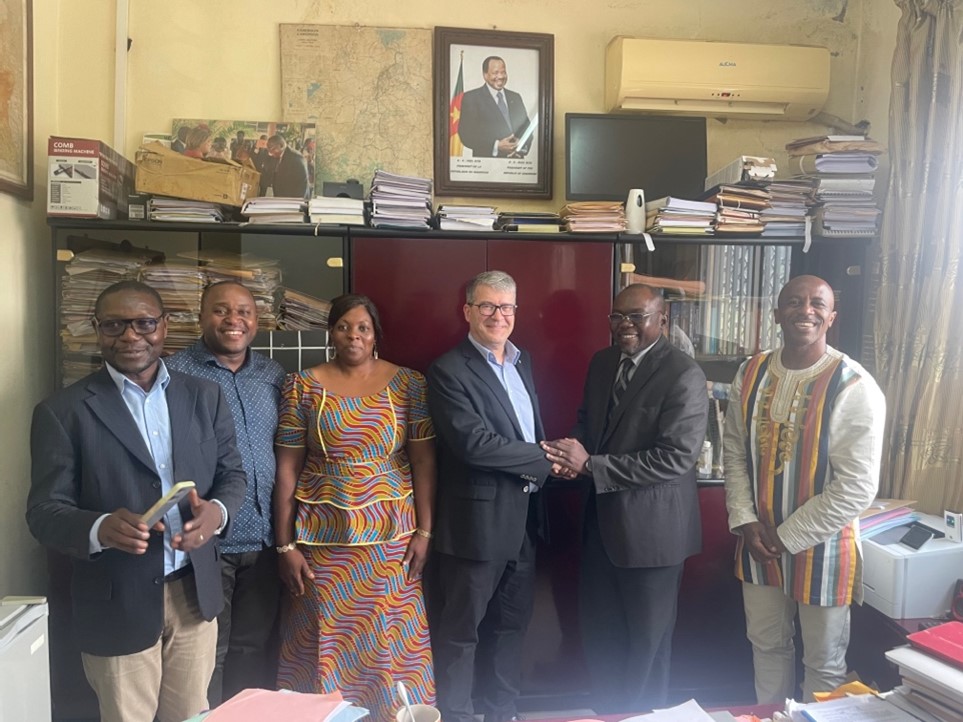
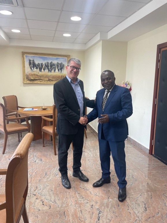
At the Ministry of Science and Innovation of Cameroon at Yaoundè with the Director for Scientific Policies and Planning Dr Jean Marcel and the Department Directors for Capacity Building, Strategy and Planning

At the Ministry of Science and Innovation of Cameroon at Yaoundè with the Director for Scientific Policies and Planning Dr Jean Marcel and the Department Directors for Capacity Building, Strategy and Planning

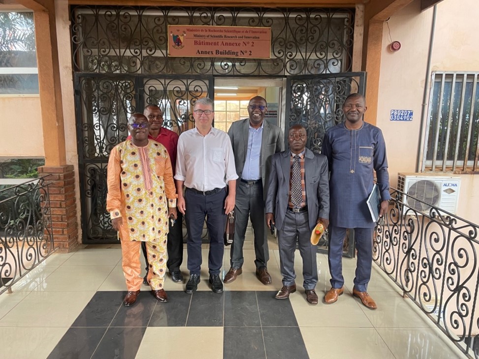
Some participants of the Workshop on Cartography and Geospatial Information Management

Some participants of the Workshop on Cartography and Geospatial Information Management at the Ministry of Scientific Research and Innovation of Cameroon at Yaoundè on 5.3.24, including
the UN-GGIM Africa representative Isseri Fernand Guy, governmental representatives and representatives of Cameroonian Universities

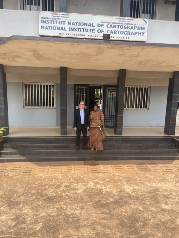
With senior Researcher Takem Agbor in front of the Cameroonian National Institute ofCartography

With senior Researcher Takem Agbor in front of the Cameroonian National Institute of
Cartography

With the Assistant Director General She Etoundi Joseph Guy Benjamin of the National Institute of Statistics of Cameroon

With the Assistant Director General She Etoundi Joseph Guy Benjamin of the National Institute of Statistics of Cameroon

The intention is to follow the identified areas of mutual interest up, so that the visit leads to further activities.

Georg Gartner

Tag:

President’s Blog: Warning about fake emails

The digital world we are living in has great opportunities to interact and communicate for all of us. However, is also needs our literacy. This is true for digital maps, but this is very much true also for our default communication means.

Unfortunately, fake emails are sent out in the name of ICA, and especially in the name of the President Georg Gartner. Those mails ask eventually for money transfer, claiming that there is some kind of urgent situation.

Such emails might be seemingly sent from the email address president@icaci.org, but if you check the header of the e-mail you can reveal the real sender of the fake e-mail (e.g. presidentgl2023@gmail.com; it can happen that other similar email addresses have also been used).

Beware of scam mails by Mohamed Hassan via pxhere.com

Beware of scam mails (Graphic by Mohamed Hassan via pxhere.com)

If you are suspicious about a mail you receive in the name of ICA, please

  1. Check the header of the e-mail and find out if there might be other sender addresses.
  2. Be ensured, that an ICA representative like the president or the Secretary-General will not ask for money, support, help in personal, private occasions ever.
  3. Double check by contacting the president and/or secretary-general or ICA webmaster right away.
  4. Please do not react on the email, if there are attachments don’t open them unless you can be absolutely sure (see points above).
  5. Please delete the email.

We have tried to identify several means on helping with this, but unfortunately, we cannot fully avoid fraud and criminal energy like this, and it is very unfortunate that the ICA President’s name is misused in this way.

Georg Gartner

President’s Blog: A year full of opportunities

The year 2024 is full of opportunities for Cartography and ICA.

In the advent of artificial intelligence and more and more digitalization in all parts of our lives and societies the functions of maps as instruments which bring some kind of order to complex phenomena, which help us to gain spatial awareness, to understand and attract attention, to provide illustrative information intuitively and to provide trustworthy information is eventually more important than ever.

The International Cartographic Association (ICA) is therefore seeking on pro-actively fostering research, education and exchange in the domain of Cartography and GIScience through all its channels, such as the commissions, publication instruments or conferences.

For the later, 2024 brings a number of excellent opportunities to meet, exchange ideas, pre-sent new insights and maps and learn from scholars. You can check out the ICA commissions to participate in one of the commission activities in person.

ICA has taken patronage or expressed endorsement for the following events:


CAGIS + UCGIS Symposium 2024

Jun 3–Jun 6 2024, Columbus (USA)
cartogis.org/conferences/cagis2024/

9th International Conference on
Cartography and GIS
Jun 16–Jun 21 2024, Nessebar (Bulgaria)
iccgis2024.cartography-gis.com

Regional Cartographic Conference EuroCarto 2024
Sep 9–Sep 11, Vienna (Austria)
eurocarto2024.org


Regional Cartographic Conference AsiaCarto 2024
Dec 8–Dec 10, HongKong (China)
asiacarto.org/2024/

All of those conferences have their Call for Submission currently open and allow excellent opportunities to network, learn, exchange and simply advance our discipline further.

I am looking forward to meeting you there!

Georg Gartner

Season’s Greetings

Dear Friends of the International Cartographic Association,

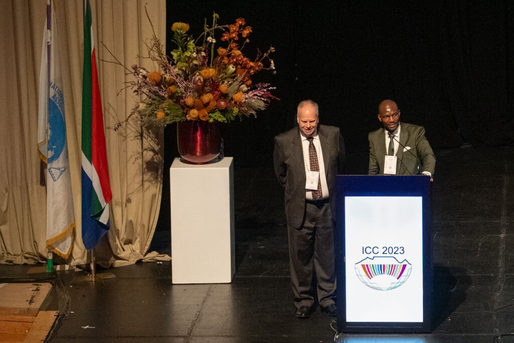
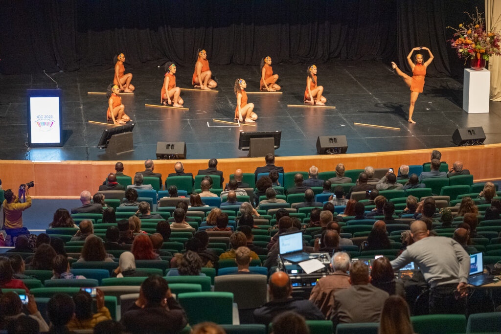
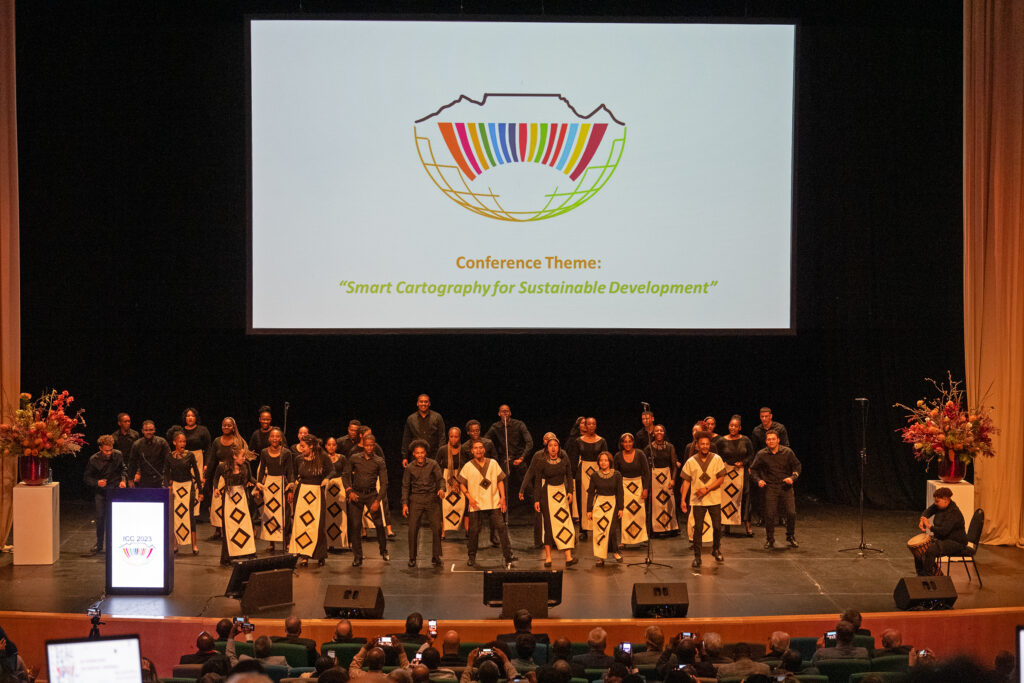
The year 2023 was in many ways a successful year for cartography and the ICA. Our International Cartographic Conference 2023 in Cape Town, South Africa was a fabulous event.
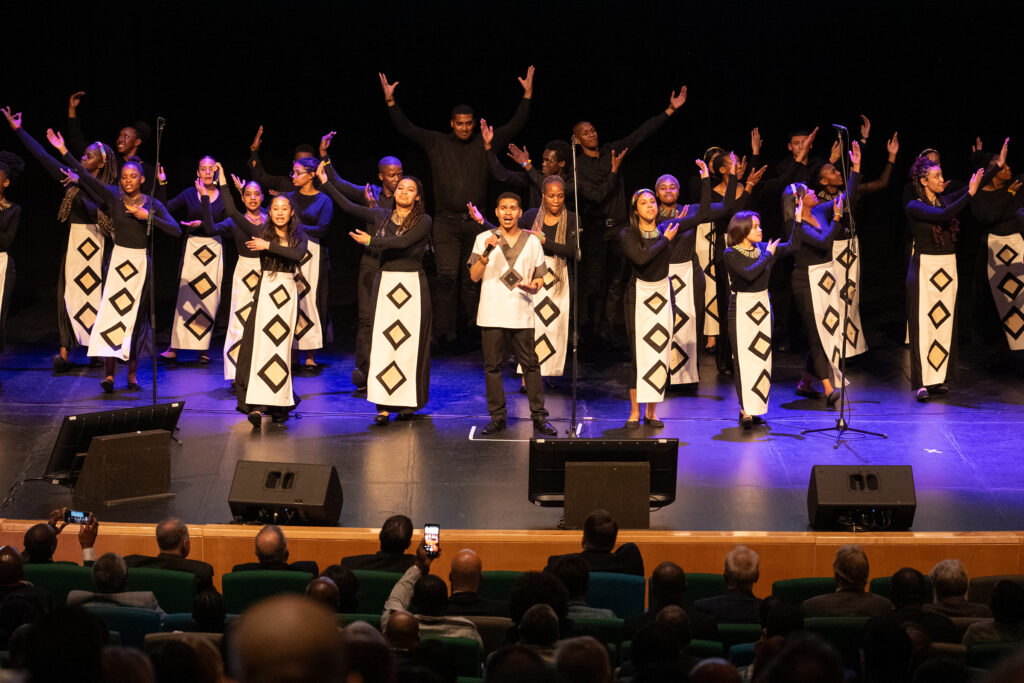
The commissions, working groups and committees of ICA have enhanced their agenda further, discussed, brainstormed and presented ideas, concepts and new results.

Many maps, from children maps to the most contemporary innovative map services haven been developed and used.

Publications, such as in the International Journal of Cartography, present new insights on modern cartography aspects.

Maps becoming even more ubiquitous in our modern life and societies, and it is no surprise, as more and more digitalisation, automatisation is taking place, producing more and more data, and thus the need for abstractions, narratives and accentuated knowledge presentation like through maps become more relevant then ever.

I want to thank all of you, which take efforts and interest in the role and work of ICA, for this successful year.

The Executive Committee is looking forward to working with you in the upcoming year and wishes to express their best season’s greetings.

– Georg Gartner
President of the International Cartographic Association

rawboned-refined