New commissions for the term 2023-2027 were elected at the General Assembly on 18 August 2023.
Commission on Art and Cartography
- Advance the field of artistic and experimental cartographies, including but not limited to such subfields as narrative cartography, cinematic cartography, sensory and phenomenological approaches to mapping, locative media, performative and performance-based cartographies, and media archaeological and other research-creation or practice-led processes.
- Facilitate, through workshops and special events, interdisciplinary collaborations and exchanges of ideas and practices amongst diverse practitioners and theorists to promote the development of hybrid cartographic practices, from arts and digital humanities to social and geo-sciences.
- Produce new forms of knowledge on mapping, space and place theory, location and spatial studies, as well as new cartographic expressions.
- Promote creative research and scholarly publication on art and cartography in all of its aspects, to both an academic audience (special issues of journals and edited collections) and to the general public (websites, screenings, exhibitions).
- Explore alternative avenues of publication as research-creation documentations and experimentations.
- Hold bi-annual meetings, in conjunction with the International Cartographic Conference.
- Abide by the ICA directory, which includes outreach to developing countries when requested and possible, coordination with other ICA commissions or other international organizations when possible and advantageous, and to support equity-seeking groups to take active roles in professional activities.
Website of the commission on Art and Cartography
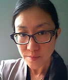 Chair: Taien Ng-Chan
Department of Cinema and Media Arts
York University
4700 Keele Street
Toronto, Ontario
Canada
e-mail: taien@yorku.ca
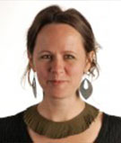 Vice-Chair: Joanna Gardener
Department of Communication Design
Swinburne University of Technology
Hawthorn, Victoria
Australia
e-mail: jgardener@swin.edu.au
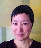 Vice-Chair: Sharon Hayashi
Department of Cinema and Media Arts
York University
Toronto, Ontario
Canada
e-mail: hayashi@yorku.ca
Executive Committee liaison: Alex Kent
Commission on Atlases
- Encourage and promote the production and use of all types of atlases
- Continue to discuss atlas theory and concepts, including atlas taxonomy,
- Develop an environment for searching and sharing atlas source data,
- Analyse existing atlases,
- Continue to maintain an electronic inventory of national atlases with key characteristics and relevant links,
- Organise workshops and discuss solutions to relevant issues in systematic cartography,
- Promote the publication of knowledge on the production and use of atlases,
- Deepen links with more ICA Commissions and develop joint research activities,
- Maintain the commission's website to ensure information exchange among cartographers involved in the commission and to disseminate information about the commission's activities within the ICA, to the international professional community and the wider public.
Website of the commission on Atlases
 Co-chair: Vít Voženílek
Department of Geoinformatics
Faculty of Science
Palacký University Olomouc
17. listopadu 50
771 46 Olomouc
Czech Republic
e-mail: vit.vozenilek@upol.cz
 Co-chair: Eric Losang
Leibniz Institute for Regional Geography (IfL)
Schongauer Str. 9
04329 Leipzig
Germany
e-mail: e_losang@leibniz-ifl.de
Executive Committee liaison: Tim Trainor
Commission on Cartographic Heritage into the Digital
- Promote research and development on the field of cartographic heritage, more specifically on:
- objects – old maps, charts, globes, relief models, bird’s eye views, etc.
- digitisation – 2d, 3d; hardware, software, issues, solutions
- georeferencing – georeferencing methods, tools, recognising map projections
- archiving – how to store; metadata
- extracting content – possibility of automatic content extraction (vectorisation)
- providing cartographic heritage on-line
- analysing old maps in the terms of…
- geometry: accuracy analysis, projection recognition
- map symbols: how symbols depend on age, place, author etc.
- content: spatial/spatio-temporal analysis of map content
- Partnership with MAGIC (Map and Geoinformation Curators Group)
- Promote intra- and interdisciplinary co-operation
- annual conferences on Cartographic Heritage
- thematic workshops, joint projects and workshops with other commissions, societies
- connecting existing on-line collections, creating meta-search pages
- interdisciplinary research – cartography and various fields of geo- and biosciences (e.g. landuse/landscape/habitat change analysis based on old maps) and especially digital humanities (history, archaeology, linguistics, literature),
- Popularisation – tools, websites, campaigns to popularise cartographic heritage
- Tutorials – examples of good practice of all above
- Documentation of commission work
- abstract database of all cartoheritage conference/journal papers
Website of the commission on Cartographic Heritage into the Digital
 Chair: Mátyás Gede
Department of Cartography and Geoionformatics ELTE Eötvös Loránd University
Budapest
Hungary
e-mail: saman@map.elte.hu
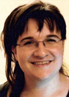 Vice-Chair: Angeliki Tsorlini
School of Rural and Surveying Engineering Aristotle University of Thessaloniki
Greece
e-mail: atsorlin@auth.gr
Executive Committee liaison: Dušan Petrovič
Commission on Cartography and Children
- Promote and disseminate the outcomes of research into map use by children and young people through an enhanced set of online bibliography and web links on cartography and children including publications in social networks.
- Organize sessions and meetings to stimulate a debate on various aspects of cartography for children in the interest of collecting and publishing (in digital or/and printed format) the research results.
- Promote the use of web-based cartographic solutions for visualization of geodata in School Cartography and Geography, including the use of GIS and GIS-based solutions in schools.
- Develop stronger connection with other ICA commissions as appropriate and relevant international and regional organizations related to cartography and children.
- Provide support to the ICA Executive Committee in relation to the rules, judging and other tasks related to the Barbara Petchenik Children's World Map Competition, including the popularization of the Competition in social networks.
Website of the commission on Cartography and Children
 Chair: Silvia Marinova
Department of Photogrammetry and Cartography
Faculty of Geodesy
University of Architecture, Civil Engineering and Geodesy
1 Hristo Smirnenski Blvd.
1164 Sofia
Bulgaria
e-mail: marinova_silvia@abv.bg
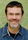 Vice-chair: José Jesús Reyes Nuñez
Department of Cartography and Geoinformatics
Eötvös Loránd University
Pázmány Péter sétány 1/A
H-1117 Budapest
Hungary
phone: +36 1 372 2975
e-mail: jesusreyes@caesar.elte.hu
personal website
Executive Committee liaison: Dariusz Dukaczewski
Commission on Cartography and Sustainable Development
- Advance the use of cartography to communicate effective Sustainable Development strategies by offering written visualization guides made available online and offering in person tutorials with governmental statistics and environmental agencies as the target audience.
- Demonstrate how cartography is an effective tool to illuminate gaps, evaluate challenges and identify solutions faced at different (spatial and administrative) scales (or levels of geography and government) in terms of cartographic design, production and data management (missing data).
- Illustrate, curate and share effective cartographic communication techniques for Sustainable Development initiatives for economic, environmental, educational and social phenomena.
- Define short- and medium-term research goals that address key issues associated with building a sound theoretical and applied methodological base to support the production of maps and geographic information used to advance Sustainable Development. Results will be shared through a Special Issue of the Journal of Cartography and made Open Access.
- Appraise the relevance of size in terms of data collection, analysis and visualization in combining global, national and local initiatives to achieve Sustainable Development – offering geovisualization and cartography solutions related to these specific challenges.
- Actively seek to encourage participation in the Commission from researchers and practitioners in the African, Latin America and Asia-Pacific regions, and those from Small Island Developing States (SIDS), which are currently underrepresented among our ICA membership. We commit to host at least one event in the African region during the term. We also seek, insofar as possible, to also open participation through electronic means, in workshops by using technologies such as Zoom to live cast and record events to improve access for those who cannot physically travel.
Website of the commission on Cartography and Sustainable Development
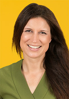 Chair: Britta Ricker
Copernicus Institute of Sustainable Development
Utrecht University
Utrecht
The Netherlands
e-mail: b.a.ricker@uu.nl
personal website
Executive Committee liaison: Serena Coetzee
Commission on Cartography in Early Warning and Crisis Management
- Initiate development of concepts, models and standards for the cartographic visualization of early warning, disaster management, monitoring and resilience.
- Integrate spatiotemporal information and related data in humanities and social sciences with thematic data for disaster detection, early warning, monitoring, damage assessment, response and training/education.
- Develop big data analysis, social computing, information distribution technologies (e.g., APIs) crowd-sourcing and artificial intelligence technologies for early warning and crisis management.
- Generate hazard zone, vulnerability and exposure maps for different type of hazards, such as forest fire, cyclone, floods, droughts, volcano eruptions, earthquakes, landslides, infectious disease etc., and for the identification and assessment of potential risk and disaster zones.
- Foster quality mapping and cartographic modeling, including state-of-the-art visualization and dissemination technologies, geospatial process and publishing tools, for early warning and crisis management through suitable publications.
- Provide methodological and technical inputs and advice for efficient technical systems for risk reduction and increase of resilience: monitoring, multi-hazard early warning systems, impact assessment, and risk-based decision-making
- Promote the development of disaster management plans for pre-, during and post- disaster situations and enhance support for early warning systems, emergency events mitigation and risk-based decision making.
- Develop technical training and know-how transfer about emergency geospatial information service for institutional partners and developing countries.
- Conduct international workshops or symposia about selected aspects of cartography and GIScience in early warning and crisis management.
- Compile and publish reports and proceedings about the work of the commission.
Website of the commission on Cartography in Early Warning and Crisis Management
 Co-chair: Christophe Lienert
Managing Director Steering Committee «Intervention in Natural Hazards» LAINAT
Federal Department of the Environment, Transport, Energy and Communications DETEC
Federal Office for the Environment FOEN
CH-3003 Berne
Switzerland
e-mail: christophe.lienert@bafu.admin.ch
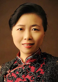 Co-chair: Shen Jie
School of Geography
Nanjing Normal University
1 Wenyuan Road
Nanjing 210023
China
phone: +86 25 85891347
e-mail: shenjie@njnu.edu.cn
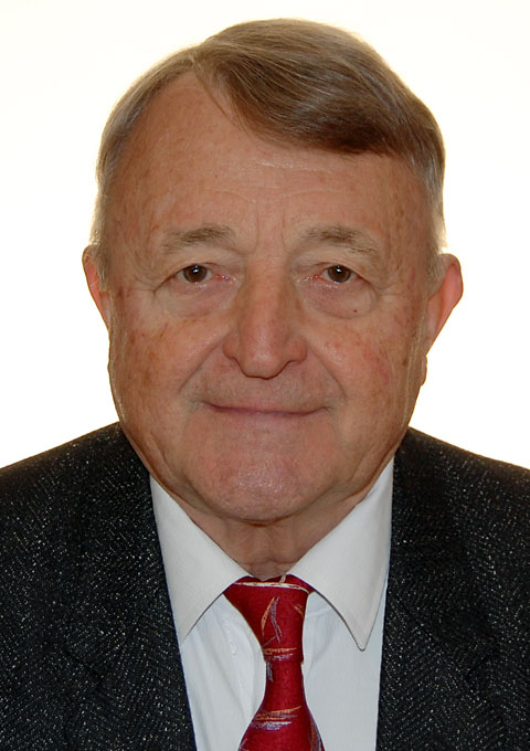 Vice chair: Milan Konecny
Cartography and Geoinformatics Lab
Masaryk University
Brno
Czech Republic
e-mail: undatra@yahoo.com
Executive Committee liaison: Jiping Liu
Commission on Cognitive Issues in Geographic Information Visualization
- Foster the awareness of cognitive issues in cartography, developing human- centered cartographic theory and practice based on sound empirical find- ings on the use of cartographic displays for spatio-temporal inference and decision-making.
- Develop events and activities that explore key issues relevant to building innovative maps that work, including those in 3D and immersive environ- ments and those that support human/machine cognition and collaboration (including artificial intelligence).
- Continue engagement with standards organisations (e.g., Open Geospatial Consortium - OGC) to use knowledge from our Commission to positively influence and contribute to standards related to maps and decision making.
- Encourage interdisciplinary and international collaboration with cognate disciplines and relevant stakeholders, including those internal to the ICA (e.g., other Commissions and Working Groups) and external to the ICA (e.g., International Association of Chinese Professionals of Geographic In- formation Science - CPGIS, ISPRS Working Groups, AGILE).
- Actively seek to encourage more participation in the Commission from re- searchers in the African, South American, and Asia-Pacific regions, which are currently underrepresented among our membership. We also seek, insofar as possible, to also open participation through electronic means, in workshops by using technologies such as Zoom to livecast and record events to improve access for those who cannot physically travel.
Website of the commission on Cognitive Issues in Geographic Information Visualization
 Co-Chair: Tumasch Reichenbacher
Department of Geography
University of Zurich
Switzerland
e-mail: tumasch.reichenbacher@uzh.ch
 Co-Chair: Pyry Kettunen
Finnish Geospatial Research Institute
National Land Survey
Finland
e-mail: pyry.kettunen@nls.fi
 Co-Chair: Petr Kubíček
Department of Geography
Masaryk University
Czechia
e-mail: kubicek@geogr.muni.cz
 Co-Chair: Hua Liao
School of Geographic Sciences
Hunan Normal University
Changsha
China
e-mail: liaohua@hunnu.edu.cn
Executive Committee liaison: Amy Griffin
Commission on Digital Transformation of National Mapping Agencies
- To facilitate NMAs for their second transformation in the big data era
- To promote NMA alignment to the United Nations’ new Integrated Geospatial Information Framework
- To network geospatial researchers who are interested in the digital transformation of NMAs
- To organize sessions and workshops for exploring related issues on new ways of mapping, AI/deep learning, new maps/data services in a cloud/mobile environment
- To communicate, disseminate, and publish as appropriate the efforts and findings of the commission through various communication and publication channels
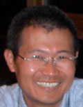 Chair: Bin Jiang
Division of Geomatics
Dept. of Technology and Built Environment
University of Gävle
SE-801 76 Gävle
Sweden
phone: +46 26 648901
fax: +46 26 648828
e-mail: bin.jiang@hig.se
personal website
 Vice-chair: Juha Oksanen
Finnish Geospatial Research Institute (FGI), Department of Geoinformatics and Cartography
National Land Survey of Finland
02150 Espoo
Finland
e-mail: juha.oksanen@nls.fi
Executive Committee liaison: Dariusz Dukaczewski
Commission on Education and Training
- To organize and deliver workshops and sessions in ICCs (and online, eLearning alternatives), possibly in conjunction with other ICA Commissions, with committees on education of sister societies and other international bodies, to incorporate latest research findings into teaching and learning materials, introducing, in particular, knowledge transfer to developing member nations of ICA, and further to promote CET as an academic research community of cartographic and geospatial teaching.
- To organize training and capacity building seminars, particularly engaging early career faculty members, with an emphasis on learning from those ICA member nations which have been successful in expanding cartographic and geospatial education into various application scenarios and motivate international collaboration among higher learning institutions.
- To maintain a website for commission’s news update, a membership database and teaching materials of cartographic and geospatial education, including bibliography, free geospatial datasets, software tools and case studies, which can be used or adapted by cartographic, geospatial and geographic educators at different levels.
- To support the ICA efforts of developing a Body of Knowledge (BoK) for cartography, which could be used for developing contemporary educational programmes and encouraging the creation of specific cartographic modules with valid and viable learning outcomes.
- To organize a special issue of a specific academic journal or an edited book to publish best practices, theories and findings of cartographic and geospatial education research.
Website of the commission on Education and Training
 Chair: Tao Wang
College of Geospatial Information Science and Technology
Capital Normal University
West 3rd Ring, North Road 105
Beijing, 100048
China
phone: +86-10-68903472
e-mail: wangt@cnu.edu.cn
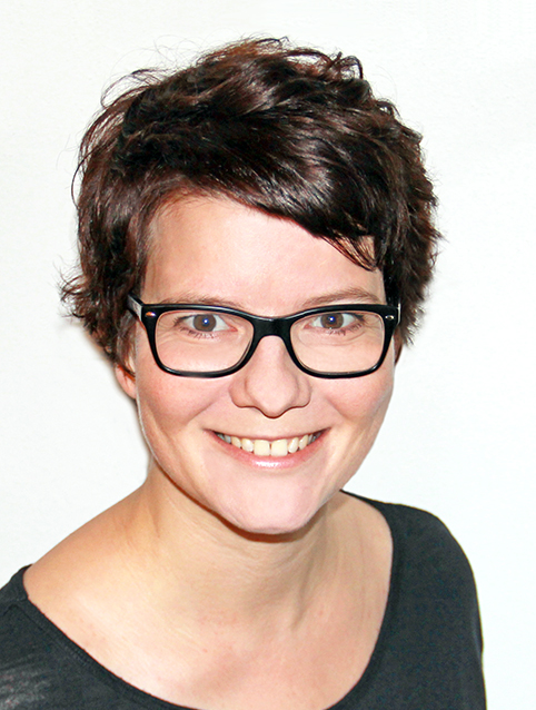 Vice-Chair: Juliane Cron
Chair of Cartography and Visual Analytics
Technical University of Munich
Arcisstr. 21
80333 Munich
Germany
e-mail: juliane.cron@tum.de
Executive Committee liaison: Serena Coetzee
Commission on Ethics in Cartography
- Review work to date on guidelines for ethical conduct and practices in cartography and closely related fields. This may include codes of ethics, codes of conduct, and principles for ethical practices, among others.
- Use the reviewed materials, and other resources as necessary, to identify basic guiding principles that reinforce ethical behavior and practice in cartography, focusing first on mapmaking, and in particular, the making of maps that are meant to support decision making (as opposed to maps for advertisement, propaganda, and such.)
- Identify resources created or endorsed by cartographic practitioners or professional organizations that relate to the guiding principles and provide a better understanding of and/or practical experience with the skills needed for ethical mapmaking.
- Maintain an open-access web-portal with information about Commission activities, links to other events, theme-specific knowledge, related websites, and bibliographic information.
- Promote community involvement in ethics in cartography among scholars, scientists, students, professionals and others in cartography and related fields through workshops and meetings (virtual and in-person), paying special attention to opportunities for inclusivity and accessibility.
- Assess additional areas within cartography for which principles and guidelines for ethical conduct and practices are also justified (the business of maps and map preservation and curation, for example).
Executive Committee liaison: Alex Kent
Commission on GeoAI
- Define the topics of GeoAI and promote the methods and knowledge of GeoAI among scientists and professionals in cartography, GIScience and related fields.
- Provide an updated, attractive web-portal with information about Commission activities, links to other events, theme-specific knowledge, related web sites and bibliographic information.
- Discuss different issues about the use of GeoAI to extract machine-readable knowledge from maps unavailable elsewhere and to guide cartographic map style, symbolization, and design.
- Develop a workshop series.
- Promote publication activities (proceedings, web-proceedings, journal articles and special issues) and common research activities.
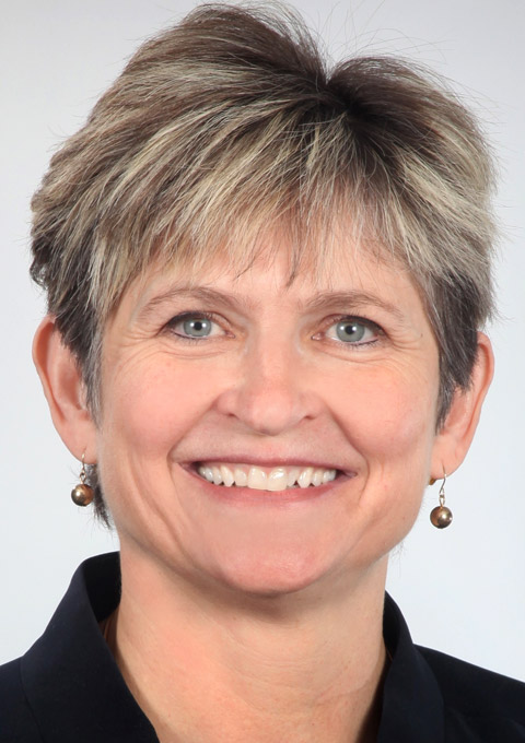 Chair: Samantha T. Arundel
Center of Excellence for Geospatial Information Science
US Geological Survey
Lake Ozark
Missouri 65049
USA
sarundel@usgs.gov
Executive Committee liaison: Amy Griffin
Commission on Geospatial Analysis and Modeling
- Foster a community for geospatial analysis, modeling, and data analytics research, with strong links to the use of maps and visualization techniques
- develop a medium-term research agenda for the commission, which will serve as the guiding basis for commission events.
- organize academic events for community members to share ideas and research findings.
- maintain social media accounts to promote the commission and attract more members to increase the visibility of the commission for a better professional service.
- Develop and maintain connections and joint efforts with other ICA commissions as well as other related GIScience and geographic academic organizations
- organize special sessions and workshops at ICC on a biennial basis.
- organize special sessions and workshops with other GIScience or geography conferences (e.g., AutoCarto, IGU, ISPRS, AAG, etc.) more frequently.
- collaborate with commissions within ICA or other academic associations to organize joint workshops on topics of shared interest.
- Encourage concerted efforts on new & interdisciplinary research topics (e.g., autonomous driving, metaverse, AI).
- Publish research findings in the community through various outlets including special issues of academic journals, books, and open-source projects such as GitHub.
Website of the commission on Geospatial Analysis and Modeling
 Vice-chair: Xintao Liu
Department of Land Surveying and Geo-Informatics
Faculty of Construction and Environment
Hong Kong Polytechnic University
Hong Kong SAR
e-mail: xintao.liu@polyu.edu.hk
personal website
Executive Committee liaison: Haosheng Huang
Commission on Geospatial Data Analytics
- Promote the original and practical research in use of image and range data acquired by various sensors for mapping with a focus on spatial big data handling, cartographic information extraction, 3D reconstruction of built environments, and integration of indoor mapping with BIM.
- Network cartographers with the researchers and practitioners in the photogrammetry and remote sensing community, computer science community involved in sensor-driven mapping.
- Develop closer links with ISRPS, IAG, FIG, IEEE-societies, and other ICA commissions with similar interests in sensor-driven mapping to organize ICA workshops or joint symposia during 2019-2023.
- Publish special issues with the International Journal of Cartography and other related journals as well as books and reports.
- Promote knowledge transfer at fundamental and advanced levels on sensor-driven mapping technology to natural and built environments, early warning and natural disaster mitigation.
- Prepare promotional materials reflecting the commission’s terms of reference and activities that can be used to support ICA’s presence at international forums (e.g., World Map, Map Middle East, meetings of the Joint Board of Geospatial Information Societies (JB GIS), UN meetings, and other regional conferences).
Website of the commission on Geospatial Data Analytics
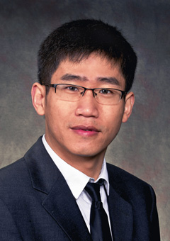 Chair: Ruisheng Wang
Department of Geomatics Engineering
University of Calgary
2500 University Drive NW
Calgary, Alberta T2N 1N4
Canada
phone: +1-403-210-9509
e-mail: ruiswang@ucalgary.ca
personal website
Executive Committee liaison: Haosheng Huang
Commission on Geospatial Semantics and Ontology
- The Commission continues to support the cartographic research community with investigations of geospatial semantics and ontology, their role in databases and visualization, including technical specifications, in the research and development of cartography. The commission broadly considers conceptual, linguistic, social/cultural, logical, and multiple perspectives. Commission support will include developing and maintaining a membership list, creating a commission website for information dissemination and exchange, and organizing scholarly events connected to the ICA. Subtopics of the domain to be researched include:
- Ontology design through knowledge graphs and query-based analysis
- Spatial semantics and data infrastructures
- Institutional aspects of semantics and ontology
- Creating, finding, and communicating meaning
- Linked open data and controlled vocabularies
- Reasoning and inference axioms
- Interfaces between natural language processing, cartography, and geographical information systems (GIS)
- The commission will facilitate science and humanities community interactions to connect semantic and ontological research and implementation in academic, government, and professional areas. The influence of institutions and their cultures on ontology and semantics is a particular area of interest. One or two central projects are proposed to provide a focus for collaborative work; a workshop with resulting edited publications, such as articles, journal special issues, and book publications (e.g, in The International Journal of Cartography or Springer's GIScience series); and education or resource building resources to advance geospatial semantics and ontology practices. The Chair and vice-chair plan to organize conference sessions at ICC 2023 and 2025 and host or collaborate with conference-connected workshops in the alternating years. The commission will offer support to conferences and workshops where it is invited to do so.
- Using the ICA Research Agenda as a broad framework, the commission will support approaches that address the complexity of growing online data repositories through ontological analysis and automated knowledge extraction of geographic information. Aspects of various ICA themes, such as generalization, visualization, society, history, and theory are areas that support strong collaboration with a possible Geospatial Semantics and Ontology commission, ICA working groups and groups outside the ICA. Among these are coordination with IGU Commission on Geographic Information Science, University Consortium for Geographic Information Science (UCGIS), or other institutions represented or contacted by Commission members.
Website of the commission on Geospatial Semantics
Leibniz-Institut für Länderkunde (IfL)
Schongauerstraße 9
04328 Leipzig
Germany
e-mail: f_harvey@leibniz-ifl.de
 Vice-Chair: Silvana Philippi Camboim
Department of Geomatics
Federal University of Paraná – UFPR
Caixa Postal 19001 – CEP 81531-980
Curitiba PR
Brazil
phone: +55 41 3361-3636
e-mail: silvanacamboim@gmail.com
Executive Committee liaison: Serena Coetzee
Commission on Geovisualization
- Promote and advance geovisualization in cartography, which is the science and technology of interactive visual interfaces for solving problems with spatio- temporal data. Geovisualization can take a variety of forms, ranging from desktop tools to virtual, immersive environments.
- Develop science, technology, and design approaches to address major challenges associated with geographic information visualization, analysis, and synthesis that enable users to solve key societal and environmental problems.
- Foster interdisciplinary and international collaboration between potential users of geovisualization and researchers, as well as between allied research communities in other disciplines and other ICA Commissions. Particular emphasis shall be put on forming an inclusive and truly global community of geovisualization practitioners and researchers, and on supporting the next generation of cartographers and early-career scholars to engage with the activities of the commission.
The Commission will achieve this vision by:
- Actively disseminating technical and methodological advances in geovisualization through workshops, seminars, edited special issues of journals, and peer- reviewed publications - with linkages to other ICA Commissions and allied organizations in other fields.
- Conducting annual meetings, workshops, or tutorials to develop research in key thematic areas, partnering with international conferences and other ICA commissions to expand our reach beyond traditional venues and audiences and to diversify who engages with geovisualization in the ICA.
- Recruiting and retaining one or multiple vice-chairs and bolstering the core membership to help guide Commission activities and foster collaboration within and outside of the ICA.
- Maintaining a dedicated web presence and engaging with members via social media to highlight Commission activities and promote participation beyond attendance at in-person meetings through new forms of distance collaboration.
Website of the commission on Geovisualization
 Co-Chair: Florian Ledermann
 Research Unit Cartography, Department of Geodesy and Geoinformation
TU Wien
Wiedner Hauptstraße 8-10 / E120-6
1040 Wien
Austria
phone: +43 58801 12614
e-mail: florian.ledermann@geo.tuwien.ac.at
personal website
 Co-Chair: Arzu Çöltekin
Institute of Interactive Technologies
University of Applied Sciences and Arts Northwestern Switzerland
Bahnhofstrasse 6
5210 Windisch
Switzerland
phone: +41 56 202 84 73
e-mail: arzu.coltekin@fhnw.ch
personal website
 Vice Chair: Anthony C. Robinson
 Department of Geography, Penn State University
318 Walker Building
University Park, PA, 16802
USA
phone: +1 814 865 3433
e-mail: acr181@psu.edu
personal website
 Vice Chair: Izabela Gołębiowska
Department of Geoinformatics, Cartography and Remote Sensing
Faculty of Geography and Regional Studies
University of Warsaw
ul. Krakowskie Przedmieście 30
00-927 Warszawa
Poland
phone: +48 225521511
e-mail: i.golebiowska@uw.edu.pl
personal website
Executive Committee liaison: Amy Griffin
Commission on High-Definition Maps
- comparing and studying selected topics of High-Definition Maps in a multi-disciplinary, cross-cultural and technical perspective.
- promoting the research topics on how cartography is evolving into a machine and AI related new field by interconnecting different new technology and sceneries in modern society.
- build the commission into a bridge between academic and industrial members for a sustainable move-on until more and more intelligent world of maps.
- establishing an efficient information system to facilitate collaboration among the researchers in the field by maintaining an up-to-date Commission website with news important for the membership, reports on the activities of the commission, information on recent publications of interest, etc.
- promoting the existing glossary in multi-language in the circle of researcher and extending the glossary with the further research interest.
- conducting workshops or symposia about selected aspects of HD map in different nations.
- compiling and publishing reports and collected papers about the work of the commission.

Chair: Qingyun Du
School of Resource and Environmental Science
Wuhan University
430072 Wuhan
PR China
phone: +86 27 68778842
e-mail: qydu@whu.edu.cn

Vice-Chair: Young-Hoon Kim
Department of Geography Education
Korea National University of Education
Cheongju-si, Chungbuk
South Korea
e-mail: gis@knue.ac.kr
Executive Committee liaison: Jiping Liu
Commission on Integrated Geospatial Information for Cartography
- Explore and research country-specific implementations of integrated geospatial information for maps and cartography in support of national strategic priorities, share national experiences on this and identify associated research and education needs.
- In collaboration with other ICA Commissions, participate at the scientific level with other organizations and agencies active in geoinformation management, UN-GGIM IGIF and the creation of geospatial knowledge infrastructures with a special focus on cartography.
- Develop reports, conference presentations and/or journal articles on our work and help to arrange workshops, conferences or other meetings.
- Organize reporting sessions on the Commission’s activities at the 2025 and 2027 International Cartographic Conferences.
- Organize and hold full Commission meetings in 2024, 2025, 2026 and 2027, and other meetings with Commission members at suitable events and conferences.
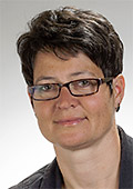 Co-chair: Anja Hopfstock
Abteilung Geodaten
Bundesamt für Kartographie und Geodäsie (BKG)
Richard-Strauss-Allee 11
60598 Frankfurt am Main
Germany
e-mail: anja.hopfstock@bkg.bund.de
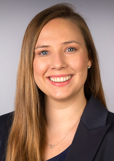 Co-Chair: Kathryn Arnold
Urban and Regional Dynamics Research Group, Smart Places
Council for Scientific and Industrial Research (CSIR)
Meiring Naudé Rd, Brummeria, Pretoria, 0184
South Africa
e-mail: KArnold@csir.co.za
Executive Committee liaison: Serena Coetzee
Commission on Location Based Services
- Actively promote research on Location based Services (LBS) in all its interdisciplinary aspects.
- Maintain the commission website and update it regularly to allow commission members to exchange information, as well as to disseminate information on activities in this field to a wider public.
- Maintain the commission E-Mail list for the exchange of activities, knowledge, news, and information on LBS.
- Adapt the LBS Research Agenda to reflect the new challenges brought by the new technological development, scientific advancement and societal changes.
- Organize ICC sessions, workshops, in particular continue the very successful serieon on the international conferences on LBS for colleagues from various disciplines to meet, and share research findings, ideas, and plans on how LBS can and could be improved and on how it will influence both science and society.
- Publish reports, books and special issues on LBS with scientific journals.
- Strongly encourage interdisciplinary and international collaboration with related disciplines and relevant stakeholders, including other ICA commissions and working groups, and other allied research communities.
Website of the commission on Location Based Services
 Chair: Jukka M. Krisp
Institute of Geography
Augsburg University
Alter Postweg 118
86159 Augsburg
Germany
e-mail: jukka.krisp@geo.uni-augsburg.de
personal website
 Vice-Chair: Anto Aasa
Department of geography
University of Tartu
Vanemuise st 46
Tartu 51003
Estonia
e-mail: anto.aasa@ut.ee
personal website
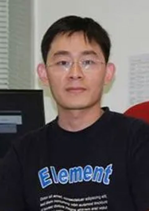 Vice-Chair: Weihua Dong
Faculty of Geography
Beijing Normal University
Beijing
China e-mail: dongweihua at bnu.edu.cn
personal website
 Vice-Chair: Zhiyong Zhou
Department of Geography
University of Zurich
Winterthurerstrasse 190
8057 Zurich
Switzerland
e-mail: zhiyong.zhou@geo.uzh.ch
Executive Committee liaison: Haosheng Huang
Commission on Map Design
- Reengage our users with brand-new content on our website and on social media;
- Draft several major essays and guiding principles on map design for the blog and to be downloaded as technical papers;
- Author a new book publication and e-learning resource on map design for geovisual analytics;
- Organize sessions at ICA conferences focused on map design theory and practice;
- Organize, sponsor or co-host Commission meetings either independent of, or in conjunction with, other cartographic events to promote map design discourse and practice; and
- Collaborate with colleagues in other ICA Commissions as appropriate.
Website of the commission on Map Design
Executive Committee liaison: Dariusz Dukaczewski
Commission on Map Projections
- Promote and foster research on map projections, coordinate systems, transformations and conversions, and disseminate the outcomes. Specifically, encourage research, development, and use of correct and possibly adaptable map projections for GIS and Web implementations and applications.
- Promote intra- and interdisciplinary co-operation. Encourage collaboration with other ICA commissions.
- Continue the study of terminology on map projections and preparation of the multilingual dictionary for this area of cartography. Construct useful definitions for commonly misused terms.
- Study the history of map projections to clarify the origin of various mappings and help the identification of historical reference systems.
- Promote the proper use of map projections at all levels of education.
- Organize sessions, workshops, and meetings at least once a year to stimulate a debate on all aspects of map projections with the aim of collecting and publishing the research results.
- Enhance and maintain the Commission web site. Provide consultative support in relation to map projections through the Commission web site.
- Link known map projection websites into the Commission site. Assemble links and guides for map projection selection including existing web tools such as map projection decision support systems. Provide single stop from which users can determine the appropriate map projection to use for a specific application.
- Develop new map projections that adapt to the changing mapping requirements of GIS, and make use of recent advances in computer science.
Website of the commission on Map Projections
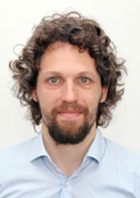
Chair: Krisztián Kerkovits
Institute of Cartography and Geoinformatics
ELTE Eötvös Loránd University
Budapest
Hungary
e-mail: kerkovits@map.elte.hu
website

Vice-Chair: Michael T. Gastner
Information and Communications Technology Cluster
Singapore Institute of Technology
Singapore
e-mail: michael.gastner@singaporetech.edu.sg
website
Executive Committee liaison: Dušan Petrovič
Commission on Maps and the Internet
- Research and identify emerging trends in the intersection of cartography and the Internet, such as 3D cartography, semantic issues in cartography and spatial data, participatory mapping and co-creation, new education methods related to the Internet, web 3, data science, Big Data, machine learning, artificial intelligence, virtual and augmented reality, Linked Open Data, and the Internet of Things.
- Develop short- and medium-term research goals that address critical challenges related to maps and the Internet, such as advancing Internet mapping technologies, perception and interpretation of web maps, including 3D views, interconnection of web cartography with non-cartographic web tools and technologies, or exploring transnational and multicultural perspectives of Internet maps.
- Facilitate educational activities related to maps on the Internet, including developing training materials, organizing workshops, webinars, and seminars, and fostering collaboration with relevant educational institutions.
- Disseminate research findings and relevant documents through various channels, including scientific journals (with a preference for Open Access journals), the official website of the commission, and social media.
- Organize or co-organize various events, such as ICC sessions, workshops, hackathons, mapathons, and international conferences, to promote networking and knowledge-sharing among professionals in the field, with the option to hold virtual events to accommodate a more significant number of participants.
- Actively promote the activities of the commission and the ICA in general to increase participation and engagement, focusing on addressing the issue of low involvement in the Commission on Maps and the Internet.
- Foster collaboration and knowledge-sharing with other ICA commissions, such as the Commission on Education and Training, the Commission on Cartographic Heritage into the Digital, the Commission on Location-Based Services, the Commission on Open Source Geospatial Technologies, the Commission on Ubiquitous Mapping, and the Commission on Use, User, and Usability Issues, to facilitate cross-commission research and information exchange; to consider closer interconnection with ICA commissions mentioned above.
Website of the commission on Maps and the Internet
 Chair: Otakar Čerba
Department of Geomatics
Faculty of Applied Sciences
University of West Bohemia
Technická 8
301 00 Plzeň
Czech Republic
phone: +420 37763 9206
e-mail: ota.cerba@gmail.com
 Vice-Chair: Karel Jedlička
Department of Geomatics
Faculty of Applied Sciences
University of West Bohemia
Technická 8
30100 Plzeň
Czech Republic
phone: +420 377 639 206
e-mail: smrcek@kgm.zcu.cz
Executive Committee liaison: Dariusz Dukaczewski
Commission on Marine Cartography
- Promote the specialism of Marine Cartography within ICA and other affiliated organisations.
- As the ICA expert focus group for Marine Cartography, promote research on cartography relating to the visualisation and management of ocean data.
- Identify and recommend appropriately qualified and experienced professional cartographers to represent ICA membership on the FIG/IHO/ICA International Board on Standards of Competence for Hydrographic Surveyors and Nautical Cartographers (IBSC).
- Promote a network of marine cartographers using media to facilitate the access by interested communities to marine cartographic knowledge.
- Foster and support local meetings and/or workshops on marine cartography and assist in engaging appropriate recognised experts.
- Liaise and coordinate with other relevant ICA Commissions and Working Groups.
- Liaise and coordinate with relevant groups from sister organisations and associations relating to the maritime environment (e.g. IHO, FIG, IGU …).
- Encourage and promote policies of equal opportunity wherever possible within the profession and especially within the marine cartography community.
Website of the commission on Marine Cartography
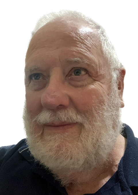 Chair: Ron Furness
IIC Technologies Pty Ltd
PO Box 174
Belrose West NSW 2085
Australia
phone: +61 (0)405 576 196
e-mail: rfurness@ozemail.com.au
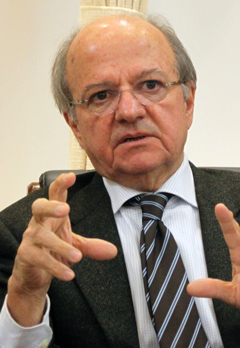 Vice-Chair: Lysandros Tsoulos
National Technical University of Athens
Greece
e-mail: lysandro@central.ntua.gr
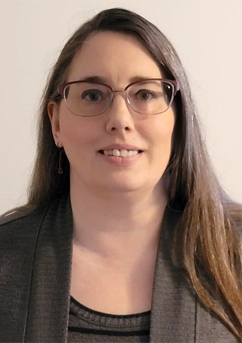 Vice-Chair: Christie Ence
National Oceanic and Atmospheric Administration
Office of Coast Survey, Marine Chart Division
1315 East-West Highway
Silver Spring, Maryland 20910
USA
e-mail: christie.ence@noaa.gov
Executive Committee liaison: Alex Kent
Commission on Mountain Cartography
- Define the knowledge areas of mountain cartography and promote the methods of mountain cartography among scientists and professionals in cartography and related fields.
- Provide an attractive web-portal with information about Commission activities, links to other events, theme-specific knowledge, related websites, and bibliographic information.
- Discuss how different topics and issues of mountain cartography relate to other areas of interest in cartography, especially the terms of reference of other commissions.
- Continue the well-established Mountain Cartography Workshop series.
- Promote publication and research activities (abstracts, proceedings, and journal articles and special issues).
Website of the commission on Moutain Cartography
Executive Committee liaison: Dušan Petrovič
Commission on Multi-scale Cartography
- To foster research and practical experience in multi-scale issues and automated map generalisation and to form a network and focal point for researchers and practitioners in this domain.
- To promote open science in map generalisation by developing open benchmark datasets (i.e. standardised sample test data), best practices, open source platforms, and open source code related to papers published at the commission workshops.
- To contribute to the effort to contain climate change:
- initiate research on energy-sober web maps
- promote new ways to gather the community, more compatible with climate change issues.
- To maintain a World Wide Web site for electronic dissemination of research on multiscale issues and map generalisation, including:
- a membership database,
- a bibliographic database,
- examples of research projects,
- links to related websites,
- promotion of the shared ontology designed in the past by commission members,
- and an electronic discussion list.
- To maintain a liaison with related commissions and working groups within the ICA as well as in related national and international organisations (e.g. ISPRS, IGU, EuroSDR).
- To organise sessions and meetings for exploring the issues named above, including:
- workshops held every two years in conjunction with International Cartographic Association conferences
- special sessions and/or panel sessions at International Cartographic Association conferences, in collaboration with local organisers
- To produce publications for dissemination of the above efforts, including one special issue of a peer-reviewed scientific journal or a book every four years.
Website of the commission on Multi-scale Cartography
 Chair: Guillaume Touya
LaSTIG, COGIT team, IGN France
73 avenue de Paris
94165, Saint-Mandé
France
phone: +33 1 43 98 62 37
e-mail: firstname.lastname@ign.fr
personal website
Executive Committee liaison: Haosheng Huang
Commission on Topographic Mapping
- Continue to develop the research agenda for topographic mapping in association with partners in academia and in industry (national mapping organizations and commercial producers of topographic maps).
- Enable and facilitate research generation and staff exchange between producers of topographic mapping.
- Establish and publish guidance for assessing topographic mapping products (print, web, digital data) in relation to their content, design and usability.
- Work in partnership with other ICA Commissions and Working Groups to organise and participate in joint events with the aim of advancing and disseminating knowledge regarding topographic mapping past, present and future.
- Develop and maintain the Commission website, incorporating news items relating to topographic mapping, a core bibliography on topographic mapping and other resources for those interesting in topographic mapping.
- Develop an online portal to allow easy access to information about producers and publishers of topographic mapping worldwide.
- Organise sessions at the 2025 and 2027 ICCs that focus on presenting the latest research with regard to topographic mapping and pursue its publication and wider dissemination.
Website of the commission on Topographic Mapping
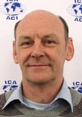 Chair: David Forrest
School of Geographical & Earth Sciences
University of Glasgow
Glasgow G12 8QQ
United Kingdom
phone: +44 141 330 5401
e-mail: david.forrest@glasgow.ac.uk
personal website
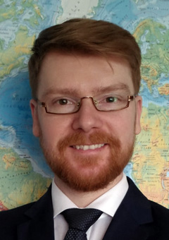 Vice-chair: Łukasz Halik
Department of Cartography and Geomatics
Faculty of Geographical and Geological Sciences
Adam Mickiewicz University in Poznań
Krygowskiego 10
61-680 Poznań
Poland
phone: +48 61 829 62 46
e-mail: topovicechair@icaci.org
Executive Committee liaison: Alex Kent
Commission on Toponymy (ICA-IGU joint commission)
- Act jointly with IGU fostering the geographic and cartographic research on all fields involving toponymy;
- Disseminate the scientific knowledge on processing and use of toponyms within geography and cartography;
- Verify the use of other sciences' toponymy concepts, such as anthropology, linguistics and others, in favour of cartography and geography;
- Maintain contacts and scientific exchange with UNGEGN and ICOS, such as by organizing joint events;
- Support and encourage the elaboration and publication of gazetteers, toponymic data files and toponymic reference systems (such as EuroGeoNames);
- Organize regional joint IGU/ICA events (workshops, symposia and others) with IGU and ICA members;
- Participate in IGU and ICA Regional, Thematic and Main Conferences;
- Organize and maintain a website to facilitate contact between researchers in the field of toponymy and disseminate source material and literature available to the community and the general public alike;
- Organize and publish books, chapters and encourage paper publishing in specialized journals and the International Journal of Cartography.
- Establish a consortium of universities organizing training courses on toponymy.
- Publish a study book on Critical Toponomastics.
- Promote the representation of under-represented groups on the research agenda (e.g. female commemorative naming, indigenous names).
Website of the commission on Toponymy
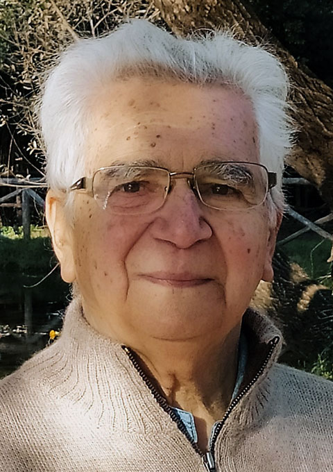 Chair: Cosimo Palagiano
Dipartimento di Lettere e Culture Moderne
Facoltà di Lettere e Filosofia
Sapienza Università di Roma
Piazzale Aldo Moro 5 (Città Universitaria)
00185 Roma
Italy
e-mail: cosimo.palagiano@uniroma1.it
Executive Committee liaison: Dušan Petrovič
Commission on Ubiquitous Mapping
- Organizing international workshops on ubiquitous mapping with other commissions at future ICA conferences;
- Fostering the link with other international conferences that discuss cognitive and social aspects of ubiquitous mapping, such as the International Conference on Spatial Information Theory (COSIT), the International Conference on Spatial Cognition (ICSC), and the Spatial Cognition Conference Series;
- Facilitating participation in ICA conferences by researchers in a wide range of disciplines related to cartography and geographic information science, including geography, psychology, computer science, architecture and planning, sociology, linguistics, and education, among others;
- Promoting the submission of research articles for presentation at ICA conferences and possibly proposing special issues of ubiquitous mapping in international journals of cartography and other related disciplines;
- Conducting research on the theory and application of ubiquitous mapping in interdisciplinary collaboration, for example, with researches in the related disciplines that explore geospatial information and technology from the perspective of computing and informatics (e.g., context awareness, artificial intelligence, robotics, autonomous cars, and IoT devices), social appli-cations and implications (e.g., volunteered geographic information, crowdsourcing, open data, public participation, collaborative mapping, locational privacy, and digital divide), and human spatial awareness (e.g., geospatial thinking, spatial literacy, map skills, navigation assistance, and sense of place); and
- Situating the concept of ubiquitous mapping in the domain of theoretical cartography.
Website of the commission on Ubiquitous Mapping
Department of Information Networking for Innovation and Design (INIAD)
Toyo University
1-7-11 Akabanedai, Kita-ku, Tokyo 115-8650
Japan
e-mail: toru.ishikawa@iniad.org
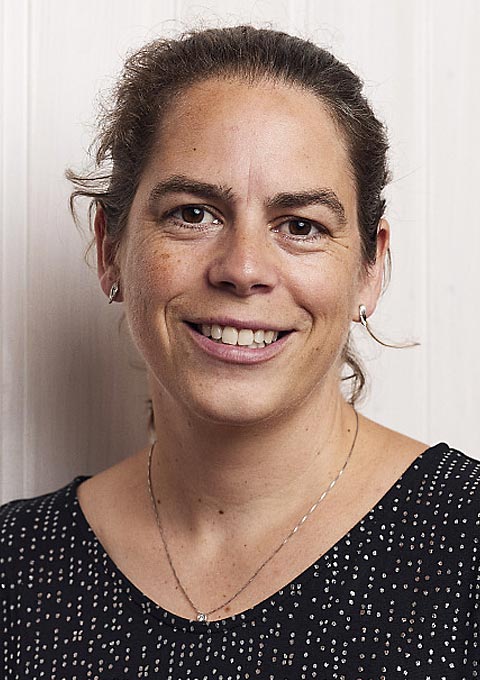 Vice-Chair: Angela Schwering
Spatial Intelligence Lab
Institute for Geoinformatics
University of Münster
Germany
e-mail: schwering@uni-muenster.de
 Vice-Chair: Armand Kapaj
Geographic Information Visualization and Analysis Group
Department of Geography
University of Zurich
Switzerland
e-mail: armand.kapaj@geo.uzh.ch
Executive Committee liaison: Jiping Liu
Commission on User Experience
- Website: Maintain and expand the ICA Commission website on user experience (UX) issues: use.icaci.org. Usability is identified as one of the 10 main research themes in the ICA agenda, and UX design encapsulates issues related to map use, maps users, and map usability. Map UX design herein is defined as the set of workflows, methods, and techniques needed for a successful user outcome with a map or interactive mapping system, as well as a productive and satisfying user process while arriving at this outcome.
- Bibliography: Maintain an online bibliographic database on user studies and UX design research in Cartography and related fields. The bibliography includes references on the following topics: map-based user interfaces (Ul) and user experience (UX) design; user-centered design and usability engineering, as applied to map design and development; studies of user abilities and differences therein; use case studies with print, web-based, and mobile maps; methods and techniques for evaluating products; the use of emerging mapping technologies.
- Student Services: Hold listening sessions to involve young (PhD) researchers and researchers from different cultural environments in all UX Commission activities in order to promote scientific research and support them in their activities.
- Educational Workshops: Organize training workshops for students and non-specialists on map-based user studies and UX design. The resulting educational materials will be made available on the commission's website.
- Scholarly Workshops: Jointly organize with other ICA Commissions pre-conference workshops in disciplines adjacent to Cartography (e.g., GIScience, Information Visualization, Human-Computer Interaction) aimed at research and design innovations.
- ICA Sessions: Organize special sessions on map-based user studies and UX design at future ICA conferences as well as other regional cartography conferences. Original scientific contributions will be gathered and organized through the UX Commission website.
- UX Research Agenda: Jointly organize with other ICA Commissions research agenda papers and/or special issues on topics intersecting with user studies and UX design. Planned topics include mobile map UX and reproducibility in cartography, although topics will evolve through the workshop process.
- User Studies Handbook: Jointly organize with other ICA Commissions a workshop to produce a handbook on user methods for cartography. The handbook will support an audience of both students and practitioners, treating user methods for basic science and user-centered design. The handbook will discuss best practices for a range of UX methods, breaking down method alternatives by participants, materials, procedures, and analyses.
Website of the commission on User Experience
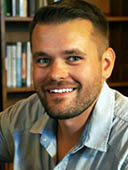 Chair: Robert Roth
Department of Geography
University of Wisconsin‒Madison
550 N. Park Street
Office #375
Madison, WI 53706
USA
e-mail: reroth@wisc.edu
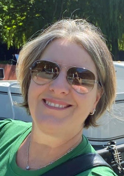 Vice-chair: Luciene Stamato Delazari
Geoinformation Applied Research Center
Federal University of Paraná
Brazil
e-mail: luciene@ufpr.br
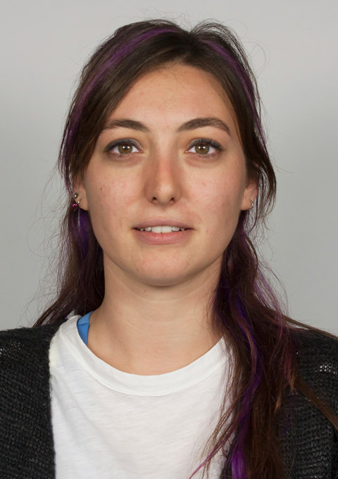 Vice-chair: Merve Keskin
Geo-social Analytics Lab
Department of Geoinformatics (Z_GIS)
Paris-Lodron University of Salzburg (PLUS)
Austria
Executive Committee liaison: Amy Griffin
For commissions of previous periods please see the Commissions Archive.


 Vice-Chair: Marcy Bidney
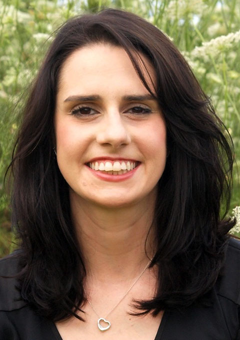 Chair: Carolyn Fish
 Vice chair: Yong Wang
 Chair: Aileen Buckley
 Chair: Ian Muehlenhaus
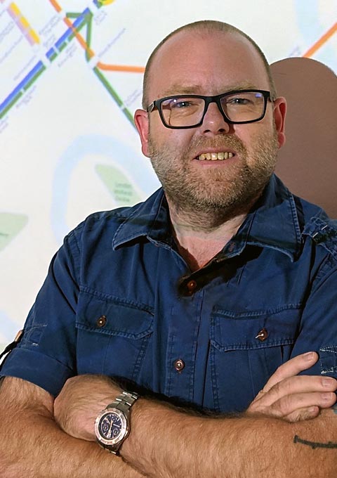 Vice-Chair: Ken Field
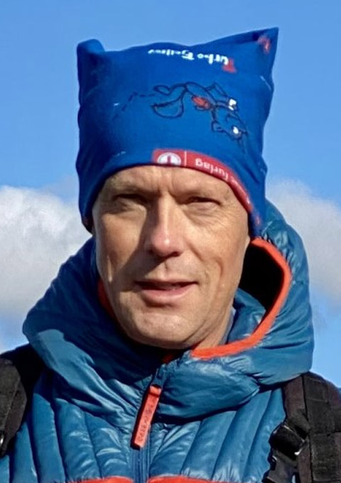


 Chair: Matjaž Geršič
 Vice-chair: Zdeněk Stachoň