The 24th International Cartographic Conference
took place in Santiago, Chile, 15–21 November 2009.
Conference website (external link)
Proceedings
Proceedings of the conference can be found here (external link).
International Cartographic Exhibition
The winning entries from the ICC 2009 map exhibition are listed below – some of them were featured in our Map of the Month section.
| Globes and atlases | 1st: Earth, Australia, details 2nd: Census Atlas of the United States, USA, details |
| Hydrographic or maritime navigation charts | 1st: Den Norske Kyst, Værøy-Lofotodden, Chart no. 70, Norway 2nd: SCAN Littoral des côtes de France, France, details |
| Digital products (maps and digital images) | 1st: Geografía Universal Interactiva, Chile, details 1st: Atlas Nacional de España 1986–2008, Spain, details |
| Maps and plans of towns and urban areas | 1st: Beijing Olympic Venues, Tourism and Transport Map, China 2nd: Diorama Kyoto (Spring), Japan |
| Maps based on satellite images and remote sensing | 1st: Parc National des Virunga 1:200,000, Belgium, details 2nd: Cobertura del Suelo 2005 1:10,000,000, Mexico, Canada, USA |
| Maps for tourism, orientieering and parks | 1st: Turistická Mapa – Set of 6 tourist maps, Slovakia 2nd: Red Sea 1:2,000,000, Hungary |
| Others | 1st: New School Maps of Greece, Greece, details 2nd: Panamap Manhattan, USA, details |
| Thematic maps | 1st: Canadian Circumpolar Map, Canada, details 2nd: Carte Géologique des Pyrénées à 1:400,000, Spain, details |
| Topographic maps | 1st: Cordillera Huayhuash (Perú) 1:50,000, Alpenvereinskarte 0/3c, Austria, details 2nd: Carte de Randonnée 4901 Wallis, France, details |
| Public vote | 1st: Les cartes portolanes. La representació medieval d’una mar solcada, Spain, details |
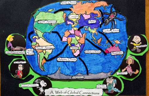
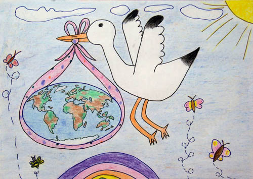
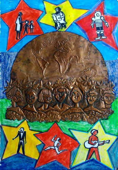
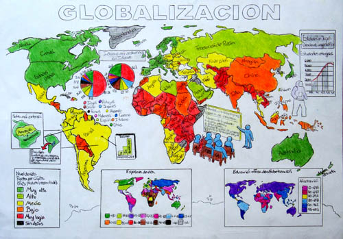
Barbara Petchenik
Too see all exhibited maps, please visit the Winner Map Collection at the Carleton University Library.
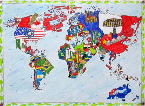
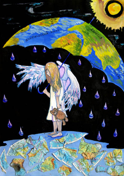
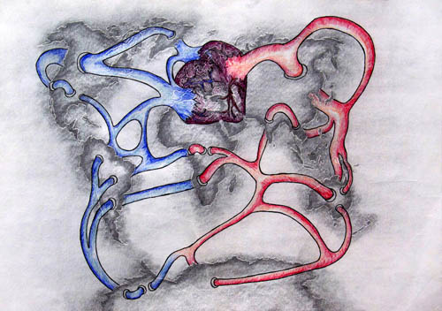
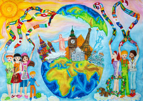
Dora Sakuntala (7), Indonesia,
Landon Parish and Joy Jackson (8), USA,
Adrienn Papp (8), Hungary,
Karolina Grzabka (11), Poland,
Beatriz Borroso Gstrein (12), Spain,
Constanza Jaqueline Soto Lopez (12), Chile, public vote
Vanessa Giroto Muniz (12), Brazil,
Alina Vakhitova (13), Russia,
Benas Turskis (15), Lithuania,
Daniela Borislavova Karaivanova (15), Bulgaria,
Travel Awards
| Victoria Molochko | Ukraine | System of educational geographical atlases in Ukraine |
| Tao Wang | China | Semantics of contour lines’ spatial relation |
| Małgorzata Wieczorek | Poland | Werenskiold Glacier (SW Spitsbergen) – morphometric characteristics |
| Rodrigo Mora | Chile | Retrieving hierarchical information from maps: The role of metric and configurational variables |
| Marcio Schmidt | Brazil | Expert system to classify semantic information |
| Maria Victoria Alves de Castro | Argentina | Nitrates pollution at Hurlingham District waters - Spatial analysis with GIS |
| Diallo Ngagne | Senegal | A diachronic study on the urban growth of Dakar and its impacts |
Unfortunately, Maria Victoria Alves de Castro and Diallo Ngagne couldn't come to Chile and present their work.
Orienteering event
To see details and results of the orienteering event, please visit our orienteering page.


