The 25th International Cartographic Conference and
the 15th General Assembly of ICA took place in Paris, France,
3–8 July 2011.
Proceedings
Proceedings of the conference (ISBN 978-1-907075-05-6) can be found here (external link)
General Assembly Documents
The conference hosted the 15th General Assembly of the ICA.
| Agenda of the 15th General Assembly in Paris | English French |
| Appendix 1 – Moscow 2007 minutes | English and French |
| Appendix 2 – President's report | English |
| Appendix 3 – SG report | English French |
| Appendix 4a – Treasurer's report | English French |
| Appendix 4b – Accounts | English |
| Appendix 5 – Proposed Budget | English and French |
| Appendix 6 – Strategic plan | English French |
| Appendix 7a – Guidelines for conferences | English French |
| Appendix 7b – Support for conferences | English and French |
| Appendix 7c – Guidelines for ICA officers | English French |
| Appendix 7d – National reports | English French |
| Appendix 7e – National member organisations | English French |
| Appendix 8 – Commissions | English French |
Final Minutes (in English an French)
International Cartographic Exhibition
A huge number of maps and map products was exhibited during ICC 2011, for a full list please check the PDF catalogue. The winning entries are listed below – some of them were featured in our Map of the Month section.
| Topographic maps | 1st: Bohinj (Julian Alps – Triglav – Krn – Crna Prst), Slovenia, details 2nd: Dolomiti di Brenta, Italy |
| Maps based on satellite images and Remote Sensing | 1st: Bhutan, Austria, details 2nd: Antarctic, Norway |
| Hydrographic or maritime navigation Charts | 1st: Oslo Havn, Norway, details 2nd: Port de Djibouti, France, details |
| Maps and plans of towns and urban areas | 1st: 1:10,000 Street Map (Series SM 10C), Hong Kong, details 2nd: Guide Map of Karaj Municipality Areas, Iran, details |
| Thematic maps | 1st: The Beautiful Game: a world of football, United Kingdom, details 2nd: Geological Map of SADC, South Africa |
| Maps for tourism | 1st: Panoramic Tourist Map of Resort Sunny Beach, Bulgaria, details 2nd: Hiking routes between Salmi and Oittaa, Finland, details |
| Others | 1st: Kii-Kinki 360º Panorama Map, Japan, details 2nd: Carte en Relief d’Afrique, Algeria |
| Educational cartographic resources | 1st: South America, Italy, details 2nd: France Physique – Administrative, Ukraine, details |
| Atlases | 1st: Landscape Atlas of the Czech Republic, Czech Republic, details 2nd: New Zealand Photo Atlas, Australia, details |
| Atlases: educational cartographic resources | 1st: Grosser Kozenn-Atlas, Austria, details 2nd: Jacaranda Atlas, seventh edition, Australia, details |
| Globes | 1st: Globe of the Moon, China |
| Digital products | 1st: Litto 3D sur l’île de Ré et sur les îles Ėparses, France, details 2nd: Katmai National Park and Preserve, USA, details |
| Digital products: educational cartographic resources | 1st: eAtlas of Global Development, United Kingdom, details 2nd: Columbus, school maps, Sweden, details |
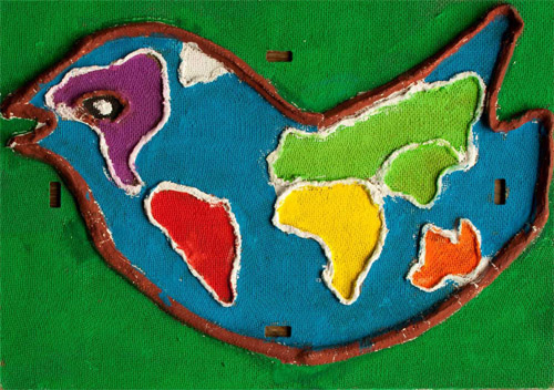
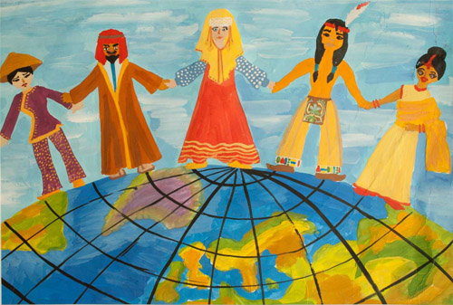
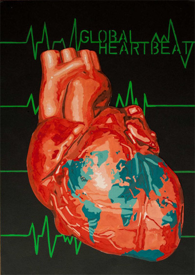
Barbara Petchenik Children's World Map Competition
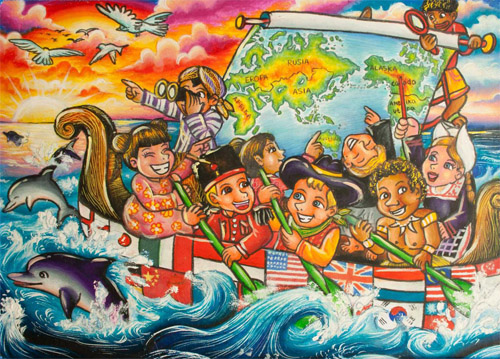
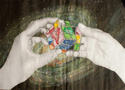
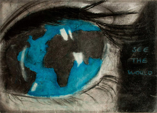
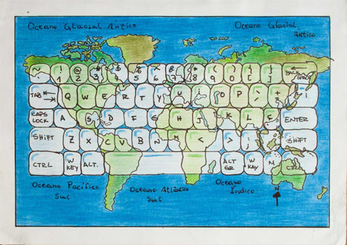
186 drawings from 31 countries were exhibited. Too see them all, please visit the Winner Map Collection at the Carleton University Library. We also have a PDF list. A jury selected the following winning entries:
Augustė Kriščiūnaitė (7), Lithuania, < 9 years
Alisa Yurchenko (7), Russia, < 9 years
Robert Breebaart (11), South Africa, 9–12 years
Juan Edwin Kusmartin (10), Indonesia, 9–12 years
Hayden Livingstone (15), New Zealand, 12–15 years
Helena Väinmaa (13), Estonia, 12–15 years
Ana Carolina Otton Sarmanho (12), Brazil, public vote
Arian Karimi Jahromi (15), Iran, public vote
Travel Awards
| Maythm Al Bakri | Iraq | User Generated Content and Formal Data Sources for Integrating Geospatial Data |
| Andrius Balciunas | Lithuania | The Possibilities of Functionality Research of Interactive Internet Maps |
| Haosheng Huang | China | Incorporating context-aware collaborative filtering into Location Based Services |
| Adonis Kouame | Ivory Coast | Cartographie du Risque Bilharzien a Partir de L’utilisation Combinee de la Télédétection et du SIG |
| Silvija Marinova | Bulgaria | Cross border maps and disaster management |
| Andre Mendonca | Brazil | What do people prefer and what is more effective for maps: A decision making test |
| Milad Niroumand | Iran | Optimal Visualization of Satellite Imagery and Superimposed Vector Data; a New Trend to the Conceptual Visualization of Land-Use Maps |
| Jean Marc Philius | Haiti | Création d’une plateforme technique de SIG en Haïti / définition des référentiels de base |
- Travel Award details for ICC2011 [FR] Détails pour ICC2011
- ICA Travel Awards for ICC2009 and ICC2011 [FR] Bourses de voyage de l'ACI pour ICC2009 et ICC201
Orienteering event
To see details and results of the orienteering event, please visit our orienteering page.



2 Responses