
The 26th International Cartographic Conference took place in Dresden, Germany, 25–30 August 2013.
Proceedings
The Proceedings of the conference (ISBN 978-1-907075-06-3) can be found here (external link).
Photos
Photos from the conference can be found at Flickr (external link).
Important Dates
| Call for Papers Open | mid of April 2012 |
| 2nd Announcement for the ICC2013 | July 24, 2012 |
| Paper Submission Deadline (changed) | November 15, 2012 |
| Papers Acceptance Notification (changed) | February 1, 2013 |
| Final Paper Deadline (changed) | April 15, 2013 |
| Authors Registration Deadline (changed) | April 15, 2013 |
Pre- and Post-Conference Activities
Several ICA Commissions organized events before or after the ICC:| Date | Venue | Title | Organized by the Commission(s) on |
|---|---|---|---|
| 22–23 Aug | Leipzig, Leibniz Institut für Länderkunde | Workshop on Historical Maps, Atlases and Toponymy | History of Cartography, Atlases, Joint ICA Working Group and IGU Commission on Toponymy |
| 22–24 Aug | Plzeň, Czech Republic | Maps and the Internet Commission Meeting | Maps and the Internet |
| 23 Aug | Dresden, University | Sharing Knowledge | Cartography and Children, Maps for Blind and Visually Impaired People, Education and Training, Planetary Cartography |
| 23–24 Aug | Dresden | Workshop on Street Networks and Transport | Geospatial Analysis and Modeling |
| 23–24 Aug | Dresden, University | Workshop on Eye Tracking: Why, When and How? | Use and User Issues, Cognitive Visualization, Geovisualization |
| 23–24 Aug | Dresden, TU | 16th Generalisation Workshop | Map Production and GeoBusiness, Generalization and Multiple Representation |
| 24 Aug | Dresden | Mapping in a digital world | Neocartography, Map Design |
| 25 Aug afternoon | Dresden, University | Street game activity | Art and Cartography |
| 28 Aug | Dresden, International Congress Centre | Open Source Geospatial Technologies Commission Meeeting | Open Source Geospatial Technologies |
| pre-conference | Czech Republic? | more info to come | Early Warning and Crisis Management |
ICA Awards
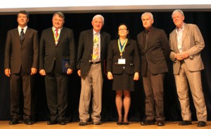
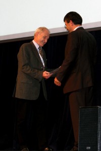
| Fraser Taylor | Canada | Carl Mannerfelt Gold Medal | |
| Kirsi Virrantaus | Finland | ICA Honorary Fellowship | |
| Milan Konečný | Czech Republic | ICA Honorary Fellowship | |
| Manfred Buchroithner | Germany | Diploma for outstanding services to ICA |
Map awards
For a full list of map products exhibited during ICC 2013, please check the PDF catalogue. The winning entries are listed below – some of them will be featured in our Map of the Month section.
| Maps on paper | 1st Over the Edge in 3D: Death in Grand Canyon, United Kingdom, details 2nd Khumbu Himal, Germany, details 3rd Tongariro National Park, New Zealand, details |
| Atlases | 1st Atlas De Wit, Belgium 2nd Circumpolar Health Atlas, Canada, details 3rd The Chang’E-1 Topographic Atlas of the Moon, China, details |
| Digital Products | 1st Diercke Globus Online, Germany 2nd Physical Geography of Ukraine. The 8th grade., Ukraine, details 3rd “Back in time” feature on Géoportail, France, details |
| Educational cartographic products | 1st Jacaranda World History Atlas for the Australian Curriculum, Australia, details 2nd Collins World Watch, United Kingdom, details 3rd Paper-craft 3d map Syowa-Shinzan, Japan |
| Other cartographic products | 1st Paper Cut Map, China 2nd Atlas of the World for the blind and visually impaired, Poland, details 3rd Smellmap Glasgow, United Kingdom, details |
| Public vote | The World atlas of mountains higher than 8,000 meters, China |
The international jury had the following members:
- Corné van Elzakker, Chair (The Netherlands)
- Kaile Bower (USA)
- Dirk Burghardt, Local Organizer (Germany)
- Damien Demaj (Australia)
- Waldirene Ribeiro (Brazil)
- Manuela Schmidt (Austria)
- Babak Shamei (Iran)
- Yaolin Lin (China)
Barbara Petchenik Competition
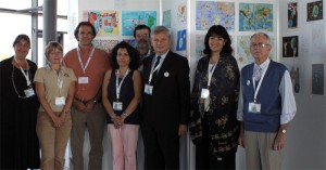
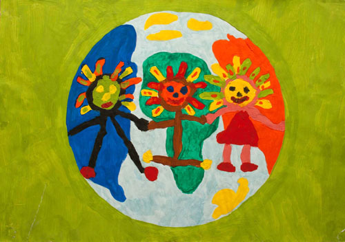
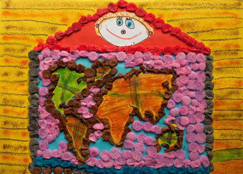
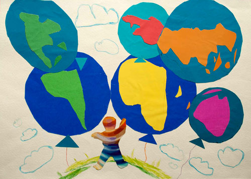
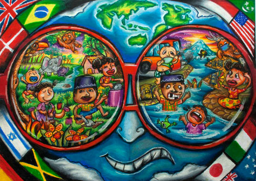
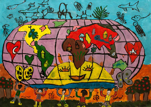
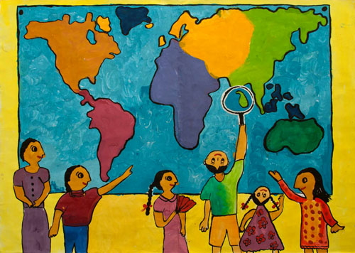
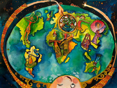
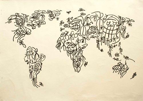
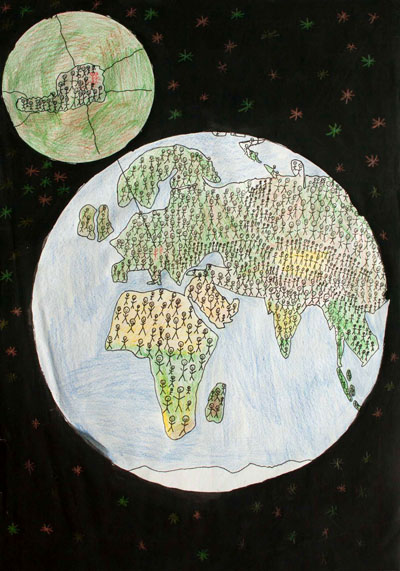
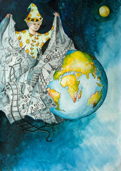
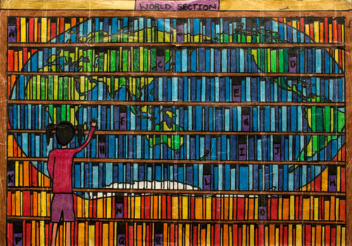
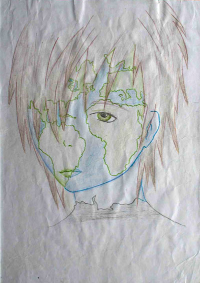
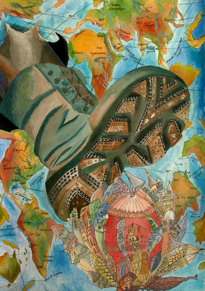
155 drawings from 30 countries were exhibited. Too see them all, please visit the Winner Map Collection at the Carleton University Library. 47 people participated in the public vote. The jury members were
- Necla Ulugtekin, Turkey, chair
- Temenoujka Lubenova Bandrova, Bulgaria
- Giedrė Beconytė, Lithuania
- Robert Edsall, USA
- Nei Erling, Brazil
- Pilar Sanchez Ortiz Rodriguez, Spain
- Dirk Burghardt, Germany, local organiser
- José Jesús Reyes Nuñez, Hungary, chair of the commission on cartography and children
- Joop van der Schee, Netherlands, IGU
- Dariusz Dukaczewski, Poland, subtitute member
Keagen Madodzi (5), South Africa, < 6 years, 1st place
Saulė Sinikovaitė (3), Lithuania, < 6 years, 2nd place
Nazar Stolyarov (5), Ukraine, < 6 years, 3rd place
Zeva Su'azra Malaika (7) , Indonesia, 6–8 years, 1st place
Altuğ Namık Yavaş (8), Turkey, 6–8 years, 2nd place
Vojitha Heshan Herat (8), Sri Lanka, 6–8 years, 3rd place
Ada Maria Ciontu (9), Romania, 9–12 years, 1st place
Wang Zhiling (12), China, 9–12 years, 2nd place
Florian Gruber & Lukas Schostal (12), Austria, 9–12 years, 3rd place
Karina Balitskaya (13), Russia, >12 years, 1st place
Amy Wang (13), New Zealand, >12 years, 2nd place + public
Beatriz Froehner (13), Brazil, >12 years, 3rd place
Alla Sukhanova (15), Russia, special jury award
Travel Awards
| Felipe Rufino Atkocius | Brazil | Maps in Decision Making: Why Almost Every Negotiation Starts and Ends With a Map? |
| Milad Niroumand | Iran | The Evaluation and Development of the Pixel Swapping Technique for Enhancing the Locational Perception of the Soft Classified Satellite Imagery |
| Viktor Putrenko | Ukraine | Assessment of Risk and Hazard of Technological Emergencies with GIS (on the Example Vinnytsia Region) |
| Iomara Barros de Sousa | Brazil | Mapping my Mangrove: New Technologies applied to cartography to support environmental education in Geography´s teaching |
- Travel Award details for ICC2013, deadline for application: 15 November 2012
Commissions at a glance
During ICC 2013 all commission chairs presented their commissions in a speed presentation. You can check out the presentation slides below.
- Art and Cartography
- Atlases
- Cartography and Children
- Cartography in Early Warning and Crisis Management
- Cognitive Visualization
- Data Quality
- Digital Technologies in Cartographic Heritage
- Education and Training
- Generalisation and Multiple Representation
- Geoinformation Infrastructures and Standards
- Geospatial Analysis and Modeling
- Geovisualization
- GI for Sustainability
- History of Cartography
- Map Design
- Map Production and Geo-Business
- Map Projections
- Mapping from Remote Sensor Imagery
- Maps and Graphics for Blind and Partially Sighted People
- Maps and Society
- Maps and the Internet
- Mountain Cartography
- Neocartography
- Open Source Geospatial Technologies
- Planetary Cartography
- Theoretical Cartography
- Ubiquitous Mapping
- Use and User Issues
- Working Group on International Map Year
- Joint ICA Working Group and IGU Commission on Toponymy
- ICA News, also available as ppsx file with music [23 MB]
Orienteering event
To see details and results of the orienteering event, please visit our orienteering page.




10 Responses