


Proceedings
The proceedings can be found at www.proc-int-cartogr-assoc.net (Proceedings of the International Cartographic Association, Volume 1, 2018, eISSN: eISSN 2570-2092).
The program can be viewed as PDF and in an interactive version.
Extraordinary General Assembly
The conference hosted an Extraordinary General Assembly of the ICA.ICA Awards
At the ICA Awards Ceremony at ICC2017 the following awards were presented in recognition of contributions to the ICA:| William Cartwright | Australia | ICA Honorary Fellowship |
| Anne Ruas | France | ICA Honorary Fellowship |
| Timothy Trainor | USA | ICA Honorary Fellowship |
| Igor Drecki | New Zealand | Diploma for outstanding services to ICA |
| Aileen R. Buckley | USA | Diploma for outstanding services to ICA |
| Cynthia A. Brewer | USA | Diploma for outstanding services to ICA |
| Matthew Rice | USA | Diploma for outstanding services to ICA |
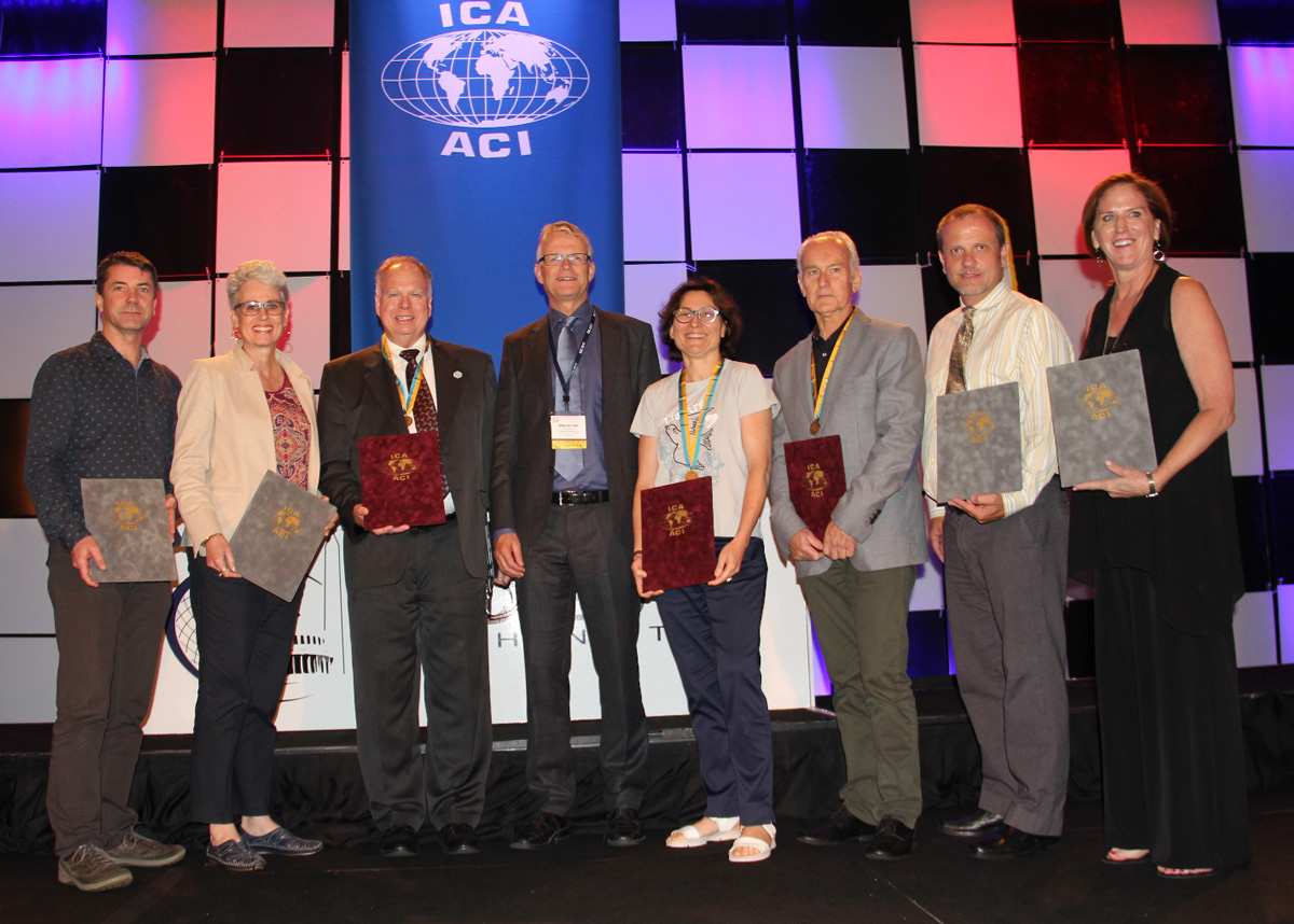
From left to right: Igor Drecki, Cynthia Brewer, Timothy Trainor, Menno-Jan Kraak, Anne Ruas, William Cartwright, Matthew Rice, Aileen Buckley
Pre-Conference Activities
Several ICA Commissions were organizing pre-conference events.
| Date | Venue | Title | Organized by the Commission(s) on |
|---|---|---|---|
| June 28–30 | Washington, DC | Charting the Cosmos of Cartography: History – Names – Atlases | History of Cartography, Toponymy, and Atlases |
| June 30 & July 1 | Williamsburg, VA | Meeting on Maps & the Internet, Ubiquitous Mapping and Education & Training | Education and Training, Maps and the Internet and Ubiquitous Mapping |
| July 1 | Washington, DC | Mapping Tools for Non-Mapping Experts: Incorporating Geospatial Visualization Tools in Libraries | Cartographic Heritage into the Digital |
| July 1 | Washington, DC | Different Fields – One Cartography | Cartography and Children, Maps and Graphics for Blind and Partially Sighted People and Planetary Cartography |
| July 1 | Washington, DC | Supporting sustainable development with geoinformation management and modern maps: things you hardly consider | Map Production and Geoinformation Management |
| July 1–2, 2017 | Washington, DC | Workshop on Maps & Emotions | Cognitive Issues in Geographic Information Visualization, Art and Cartography and Topographic Mapping |
| July 1–2, 2017 | Washington, DC | Workshop on Spatial Data Infrastructures, Standards, Open Source and Open Data for Geospatial (SDI-Open 2017) | Open Source Geospatial Technologies and the SDI and Standards |
| July 1–2, 2017 | Washington, DC | Workshop on Generalisation and Multiple Representation | Generalisation and Multiple Representation, second day in cooperation with Geospatial Analysis and Modeling and Location-based Services |
| July 1–2, 2017 | Washington, DC | Symposium on Location-Based Social Media and Tracking Data | Geospatial Analysis and Modeling and Location-based Services, second day in cooperation with Generalisation and Multiple Representation |
| July 2, 2017 | Washington, DC | Critical Review on Using Developable Surfaces in Map Projections Theory & Standardization in Map Projections | Map Projections |
| July 2, 2017 | Washington, DC | Disaster Management, Big Data, Services and Cartographic Representation | Cartography in Early Warning and Crises Management |
| July 2, 2017 | Washington, DC | Preserving Map Production Methodology Information | Atlases |
Map awards
The winning entries are listed below – some of them will be featured in our Map of the Month section.| Atlases | 1st: The National Atlas of Korea, Republic of Korea 2nd: Tactile Atlas of Switzerland, Switzerland 3rd: Grand Topographic Atlas of Catalonia 1:25,000, Institut Cartografic i Geologic de Catalunya Public vote: Swiss World Atlas 2017 Ed., Switzerland |
| Digital Products | 1st: Minecraft® on Demand, France 2nd: Augmented Reality App Swissarena, Switzerland 3rd & Public vote: Atlas of Switzerland Online, Switzerland |
| Educational cartographic products | 1st: genderATlas goes school, Austria 2nd: Historical Atlas of Poland for blind and visually impaired, Poland 3rd & Public vote: 3D Relief of Czechia, Czechia |
| Other cartographic products | 1st: Psychogeography in the age of the quantified self, Germany 2nd: Canal Full Map Long Scroll, China 3rd: Canton Berne – 3D printed Terrain Model, 1:25,000, Switzerland Public vote: Canal Full Map Long Scroll, China |
| Charts on panels | 1st: Zhenghe Navigational Chart with an Ancient vs. Modern Comparison, China 2nd: Stavanger Harbor with Seaward approaches (chart no. 455), Norway 3rd: IFR Enroute Low Altitude - Alaska L-1, Esri Public vote: VFR Aeronautical Chart of the Republic of Slovenia, Slovenia |
| Maps on panels | 1st: Relief MASSIF DU MONT BLANC, France 2nd: The Olivine Wilderness, New Zealand 3rd: Jenny Lake Hiking Map, USA Public vote: Blue and White Dream, China |
The international jury had the following members:
- Kenneth Field (Chair), United Kingdom
- Margaret Pearce (Organiser), USA
- Antoni Moore, New Zealand
- David Fairbairn, United Kingdom
- Paulo Menezes, Brazil
- William Cartwright, Australia
- Lorenz Hurni, Switzerland
- Dirk Burghardt, Germany
- Dušan Petrovič, Slovenia
- Serena Coetzee, South Africa
- Rosemary Wardley (LOC), USA
Barbara Petchenik Competition
193 drawings from 34 countries were exhibited. All of them will soon be accessible in the Winner Map Collection at the Carleton University Library.
Kenya Kesuma Dewi (5), Indonesia, < 6 years, 1st place

Taja Koša (5), Slovenia, < 6 years, 2nd place

Alicia Fleming (5), Australia, < 6 years, 3rd place

Oh Eun Ju (8), South-Korea, 6–8 years, 1st place

Preslava Ivanova (8), Bulgaria, 6–8 years, 2nd place

Beatrice Leoutsakou (8), Greece, 6–8 years, 3rd place

Noemi Sanchez Avramova et al. (12), Spain, 9–12 years, 1st place

Okubo Kasumi (9), Japan, 9–12 years, 2nd place

Klara Zagórska (11), Poland, 9–12 years, 3rd place

Ioana Larisa Guriţǎ (13), Romania, > 12 years, 1st place

Rebecca Kneale et al. (15), New Zealand, > 12 years, 2nd place

Micaela Mendoz (15), Argentina, > 12 years, 3rd place

Champ Turner (15), USA, Public vote

Urtėja Kardašiūtė, Lithuania, Creativity Award

Phoebe McClean, New Zealand, Creativity Award

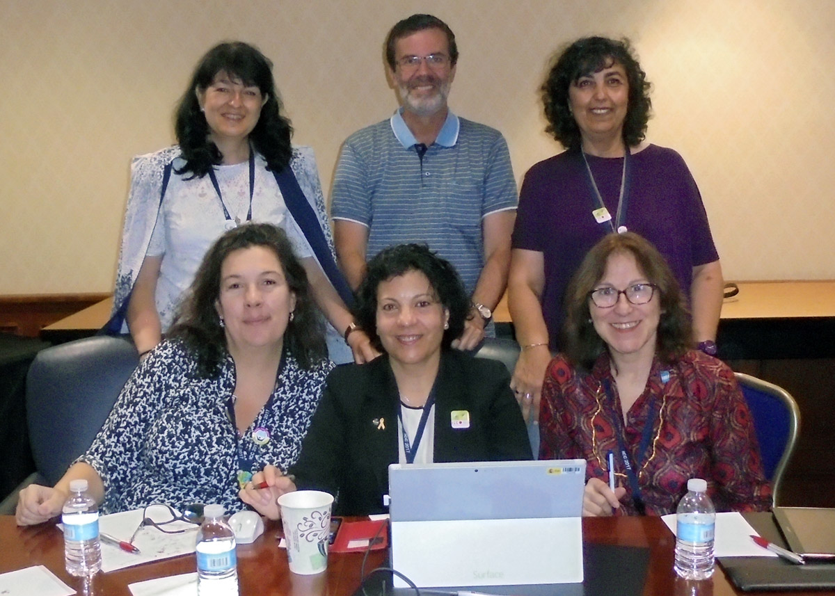
Members of the jury
The jury members were
- Pilar Sánchez-Ortiz Rodríguez, Spain – Chair
- Ana María Garra, Argentina
- Paulo Menezes, Brazil
- Temenoujka Bandrova, Bulgaria
- Dariusz Dukaczewski, Poland
- Necla Ulugtekin, Turkey
- Naeema Al Hosani, United Arab Emirates
- Rob Edsall, USA
- Carla Sena, Brazil and Jesus Reyes, Hungary – Substitute Members
- Peter van der Krogt, The Netherlands – International Coordinator
The Creativity Award was presented by the ICA Commission on Art and Cartography.
Scholarships
| Name | Country | ICA event | Date | Title of paper / poster | Sum in € |
|---|---|---|---|---|---|
| Julia Mia Stirnemann | CHE | ICC Workshop on Maps & Emotions | 07/2017 | Viewpoints evoke emotions | 400 |
| Javiera Advis | CHL / GER | ICC Workshop on Maps & Emotions | 07/2017 | LINESCAPES: virtual and real experiences of cities | 400 |
| Sébastein Biniek | FRA | ICC2017 | 07/2017 | Designing typefaces for maps. A protocol of tests. | 1000 |
| Mateusz Pitura | POL | ICC2017 | 07/2017 | Hebrus Valles - The Mars Exploration Zone Map | 1000 |
| Vit Paszto | CZE | ICC2017 | 07/2017 | Crowdsourcing Mapping and Participatory Planning Support System: Case Study of Brno, Czech Republic | Playing with maps – using geogames in geography field-courses | Reflective 2D visualization of 3D objects using cartographic projection | 1000 |
| Yvette Bevis | RSA | ICC2017 | 07/2017 | Expert opinions on using the third dimension to visualise wind speed uncertainty for wind farm planning | 1000 |
| Jelena Glisovic | SRB | ICC2017 | 07/2017 | The First Special Military Map Printed in Serbia | 1000 |
| Katrin Glinka | GER | ICC2017 | 07/2017 | Psychogeography in the age of the quantified self — Mental map modelling with georeferenced personal activity data | 1000 |
| Syed Attique Shah | TUR | ICC2017 | 07/2017 | A Framework for Enhancing Real-time Social Media Data to Enhance Disaster Management Process | 1000 |
| Olawale Oluwafemi | NIG | ICC2017 | 07/2017 | Effect of Sediment-Hosted Disseaminated Gold Deposit Mining on the Landscape of Itagunmodi-Igun Basin, SW. Nigeria | 1000 |
| Shahmy Said | MAS / GBR | ICC2017 | 07/2017 | Classifying the Diversity of Bus Mapping Systems; Mapping Landslides Susceptibilty In a Traditional Northern Nigerian City | 1000 |
| Lanfa Liu | CHN / GER | ICC2017 | 07/2017 | Feature learning for soil property mapping using Vis-NIR spectroscopy | – |
| Song Gao | USA | ICC2017 | 07/2017 | Identifying Geographic Features through Map Interpretation: A Case Study of Craters Using Controlling Variables | 100 |
| Bosse Amber | USA | ICC2017 | 07/2017 | For the Essentially Subjective Elements of Cartography, 1953-1995 | 100 |
| Annita Lucchesi | USA | ICC2017 | 07/2017 | HÓHTA’HANÉ: MAPPING GENOCIDE & RESTORATIVE JUSTICE IN NATIVE AMERICA | 100 |
| Andreas Keler | GER | ICC2017 | 07/2017 | Towards Traffic Bottleneck Visualization - Combining Traffic Congestion and Complicated Crossings | 100 |
| Jorge Chen | USA | ICC2017 | 07/2017 | Rapid integration of indoor and outdoor coordinate reference systems using 3D point cloud data | 100 |
| Jiri Pánek | CZE | ICC2017 | 07/2017 | Crowdsourcing Mapping and Participatory Planning Support System: Case Study of Brno, Czech Republic | Playing with maps – using geogames in geography field-courses; Reflective 2D visualization of 3D objects using cartographic projection | Psychophysics: The Foundation of Cartography | Research on Automatic Generation of Map Symbols based on Cognitive Semantics Analysis | Exploring visual cognition efficiency in map handling ability based on the eye movement experiment | 100 |
| Michele Denner | RSA | ICC2017 | 07/2017 | Assessing a potential solution for spatially referencing of historical aerial photography in South Africa | 100 |
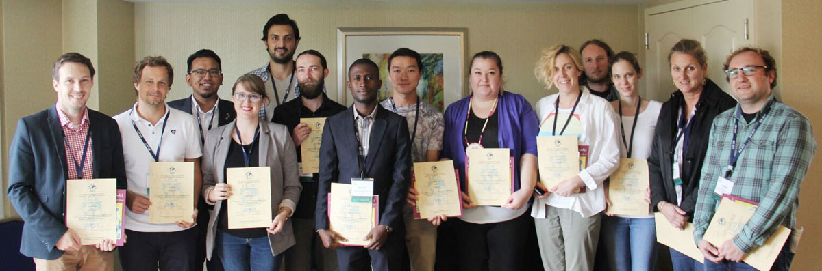
Some of the awardees of ICA Scholarships at ICC2017
Orienteering event
Details and results of the orienteering event on July 6 at Fountainhead Regional Park can be found in our orienteering section.

13 Responses