


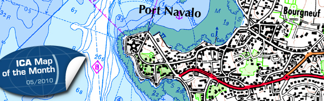
This month’s ICA Map of the Month is the map SCAN Littoral® chart of the golfe du Morbihan (Brittany). It was published as a joint project between the French Navy Hydrographic and Oceanographic Service (SHOM) and the French National Geographic Institute (IGN). It consists of a seamless merging of SHOM’s nautical charts and IGN’s terrestrial maps. At the last ICC in Chile it won the second jury prize in the category “hydrography or maritime navigational charts”.
Get more information and have a look inside at the ICA website!

Category: General News