


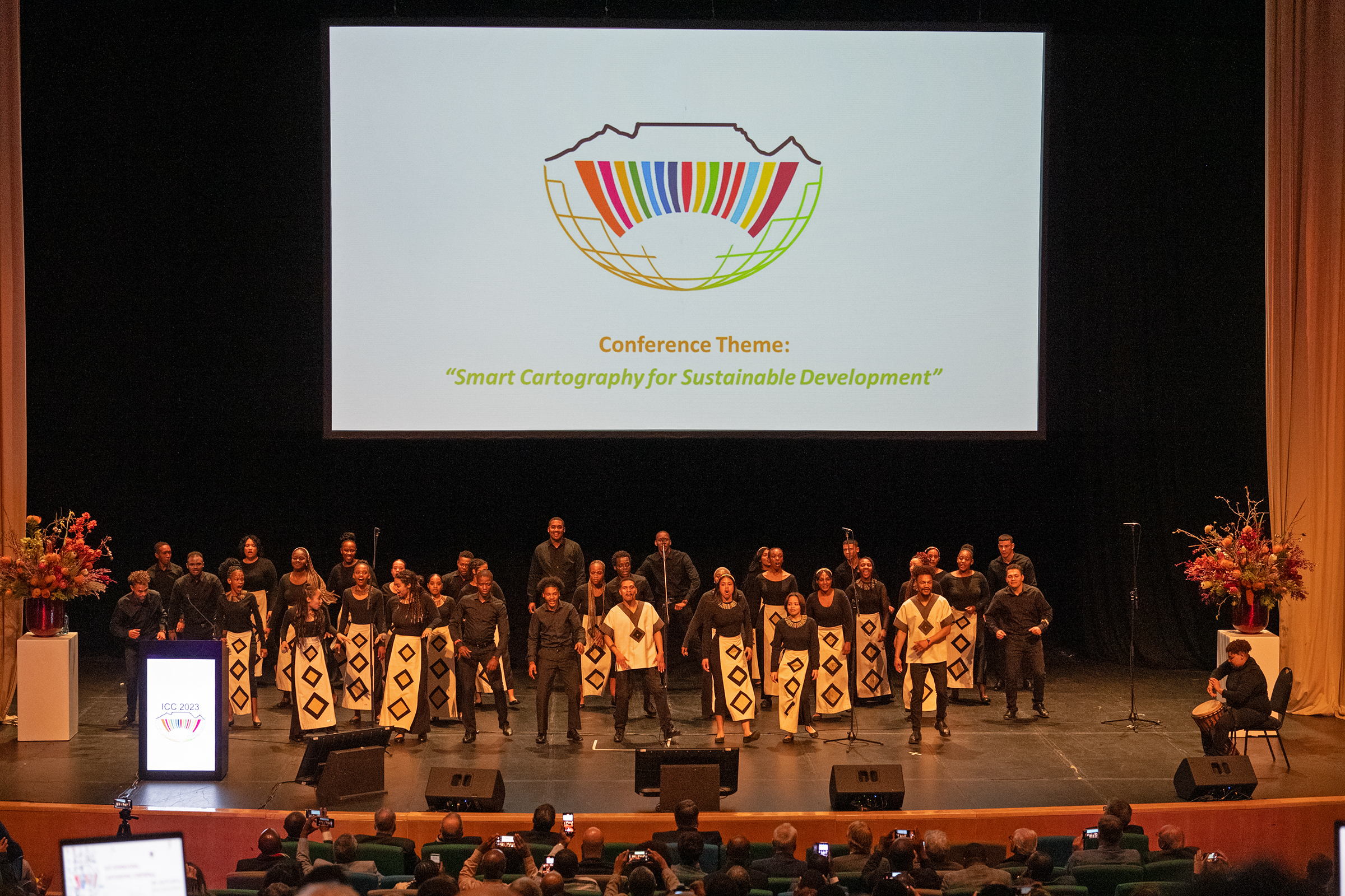
eCARTO News captures the latest cartographic news and developments from around the world. If you have any general cartography items of interest then please email them to David Fraser, editor of eCARTO News.
Industry
- Geospatial pioneer celebrates anniversary with mobile mapping solution launch – gim-international.com
- Bentley Sees Potential of AI, Gets Deeper in Subsurface Mapping – enr.com
- Data Doctors: Google Maps vs. Waze – wtop.com
- Google Maps vs. Apple Maps: Which navigation app is best? – tomsguide.com
- The cool new Apple Maps features you’re not using, but should be – thepointsguy.com
Education & Training & Opportunities
- Allard Pierson Fellowship – allardpierson.nl
- GEBCO Week set to gather ocean explorers and mapping experts – hydro-international.com
- ‘The Deepest Map’ explores the thrills — and dangers — of charting the ocean – sciencenews.org
- Join the geospatial conversation: contribute to GIM International – gim-international.com
- Create your own maps with the latest Google Earth update – androidpolice.com
- German campaign aims to get youngsters excited about mapping and surveying – gim-international.com
Cartographers
- A Love of Maps and a Legacy – 2.lehigh.edu
History
- A $7.5-million find: Overlooked Getty estate sale map turns out to be 14th century treasure – latimes.com
- Map of the Ancient Roman World from their perspective – vividmaps.com
Out of this world
- NASA Is Locating Ice on Mars With This New Map – nasa.gov
- Atacama Cosmology Telescope Reveals New Dark Matter Map – miragenews.com
- Precision Space Map Measures 400,000 Nearby Galaxies – miragenews.com
Just Maps
- Wild world – antonthomasart.com
- Map of the European Inland Waterway Network – unece.org
- The Fourth-Oldest Surviving “Complete” Portolan Chart of Europe – raremaps.com
- Interactive Map, Exhibit Spotlight London’s Literary Ties to Europe – miragenews.com
Related
- DeltaQuad and YellowScan team up for Lidar-powered 3D mapping – gim-international.com
- Interactive map of Flock cameras – news-journal.com
- Greater Noida authority to undertake GIS mapping to protect government land – hindustantimes.com
- Geospatial pioneer celebrates anniversary with mobile mapping solution launch – gim-international.com
- NGA to map lunar geography to enable GPS on the moon – spacenews.com
- Mapping altitudes in the Alpine region – gim-international.com
Environment
- Mapping methane: Satellites seek out gas-spewing waste sites – aljazeera.com
- MapLab: Uncovering the Native Landscape of Los Angeles – bloomberg.com
- Mapping hidden meltwater paths in glaciers: importance – miragenews.com
- Remember the climate map from your school atlas? Here’s what climate change is doing to it – phys.org
- Wildlife Worldwide Contaminated by Flame Retardants: New Map – ens-newswire.com
- Research Refines Accuracy of East Asia’s Planted Forest Mapping – miragenews.com
- Proposed offshore wind map protects a key Maine lobster fishing ground – newhampshirebulletin.com
Disclaimer: The views and opinions expressed by the weblink authors are their own and do not represent the official position of the ICA. The links are assembled for information and education purposes only.
Category: eCARTO News, General News


 It is with a heavy heart that I inform our ICA community of the tragic passing of our dear friend and colleague, Igor Drecki from New Zealand, and his wife, Iwona. Igor served with distinction as the