


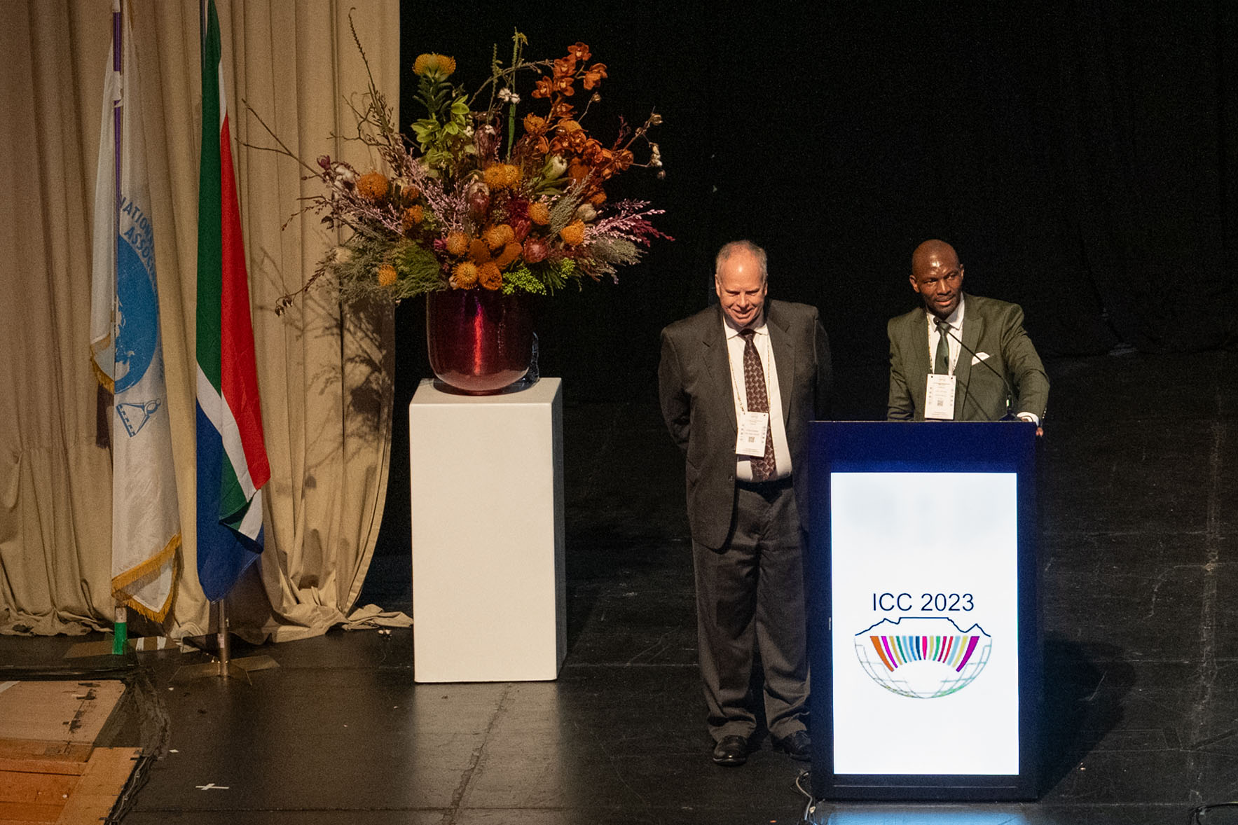
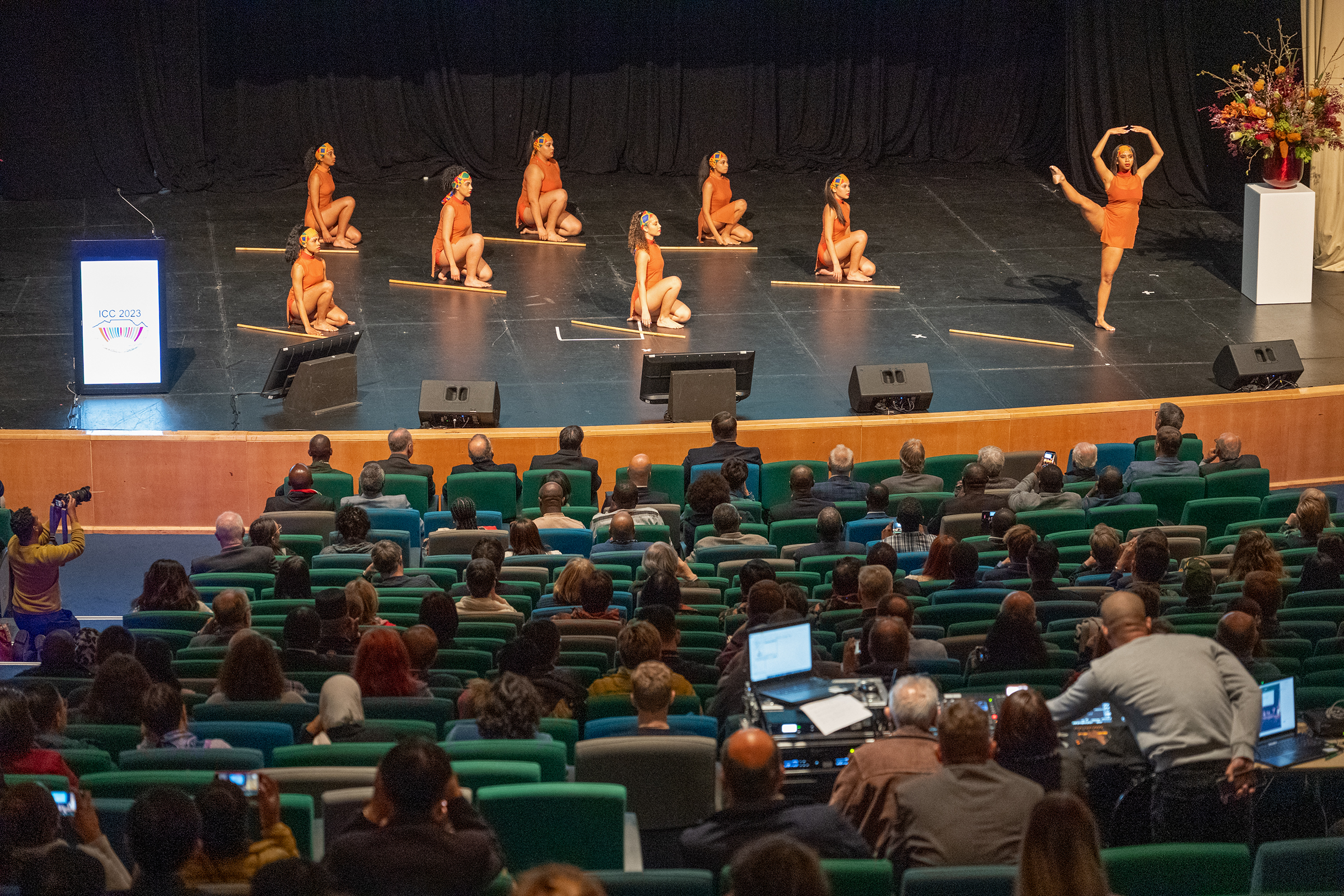
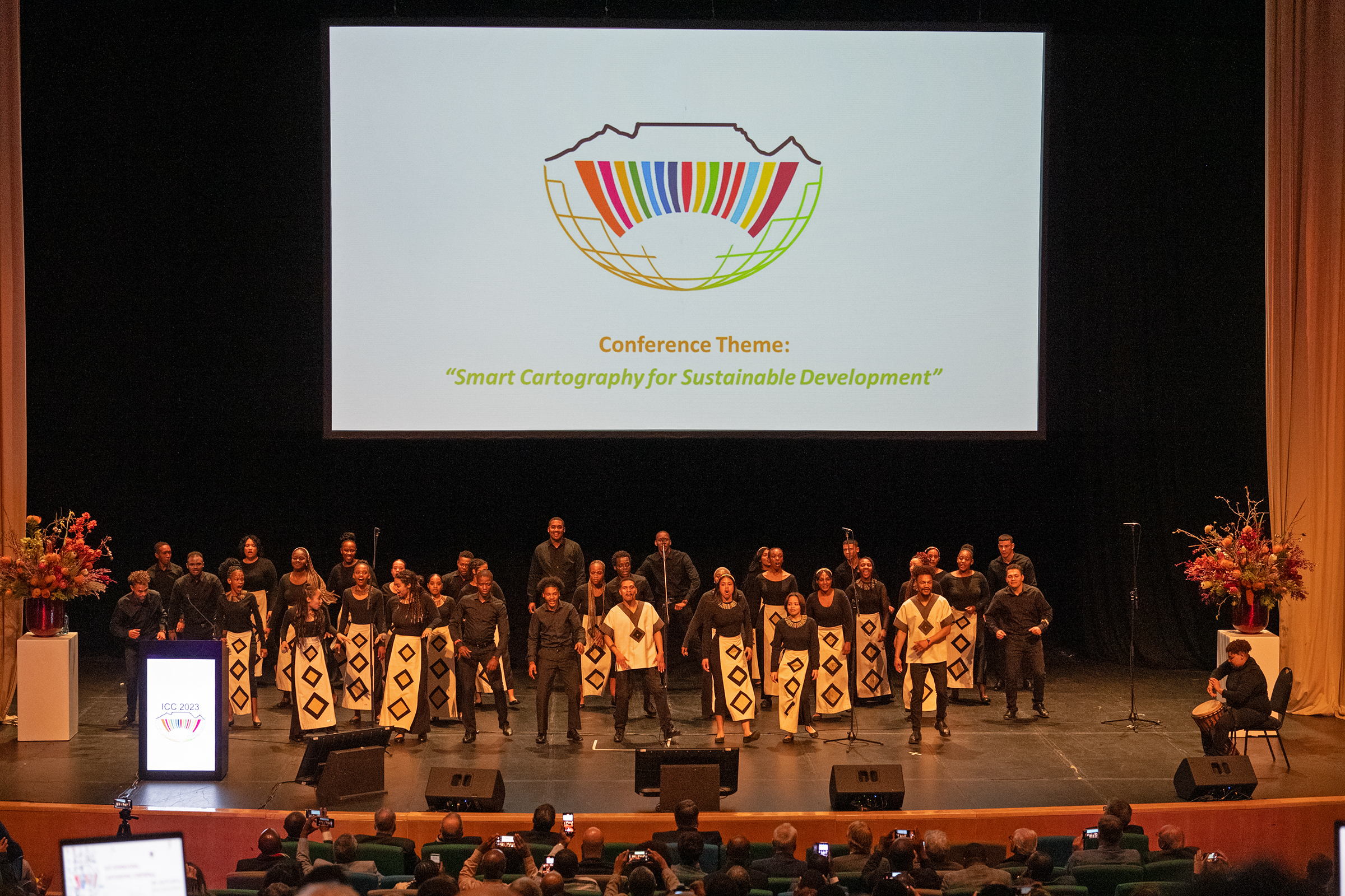
The International Cartographic Association sees a change of its “term” every fourth year. This change is a result of the discussions and decisions at the General Assembly of the national members of ICA. The most recent General Assembly (the 19th of ICA) took place during the (most successful) International Cartographic Conference 2023 in Cape Town, South Africa and decided on the main proponents of the new term, which will last from 2023 to 2027.
Let me introduce you to the new members of the Executive Committee:
- President Georg Gartner (Austria)
- Secretary General Thomas Schulz (Switzerland)
- Past President Timothy Trainor (United States of America)
- Vice President Serena Coetzee (South Africa)
- Vice President Dariusz Dukaczewski (Poland)
- Vice President Amy Griffin (Australia)
- Vice President Haosheng Huang (Belgium)
- Vice President Alex Kent (United Kingdom
- Vice President Jiping Liu (China)
- Vice President Dusan Petrovic (Slovenia)

Georg Gartner

Thomas Schulz
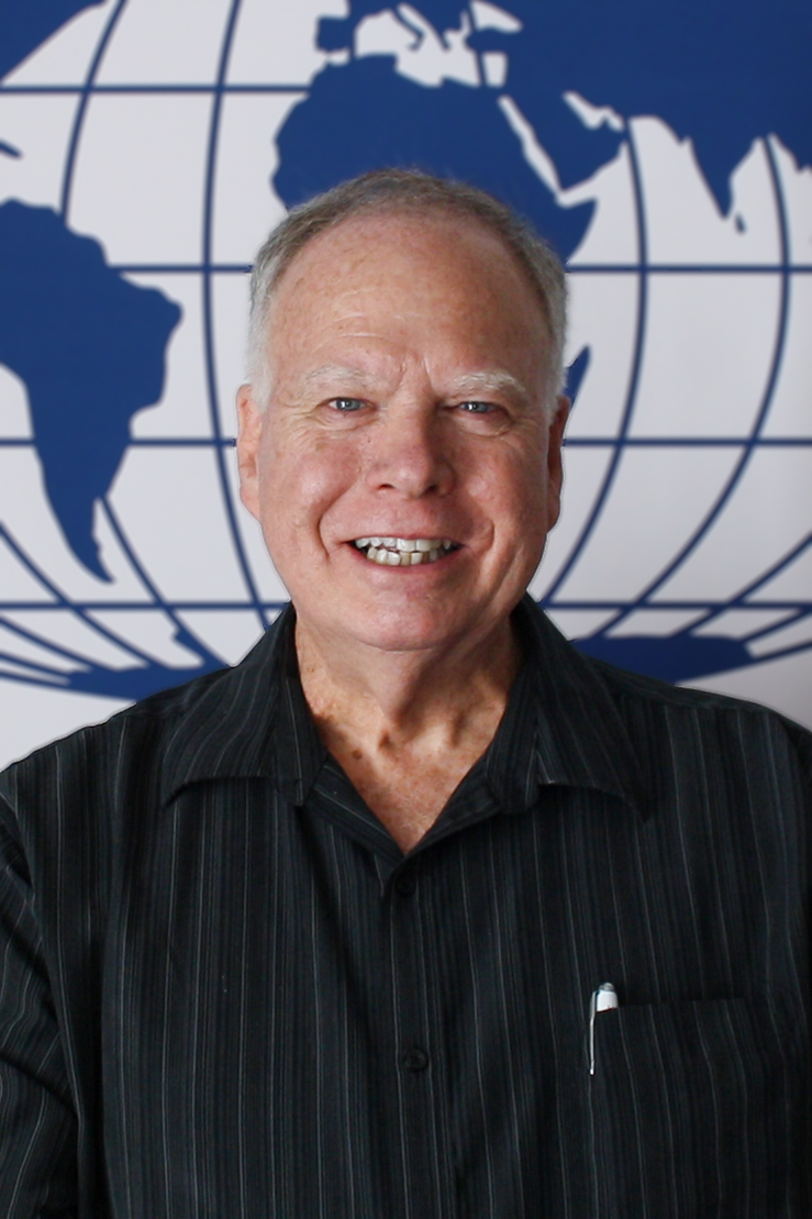
Tim Trainor

Serena Coetzee

Dariusz Dukaczewski

Amy Griffin

Haosheng Huang

Alex Kent

Jiping Liu

Dušan Petrovič
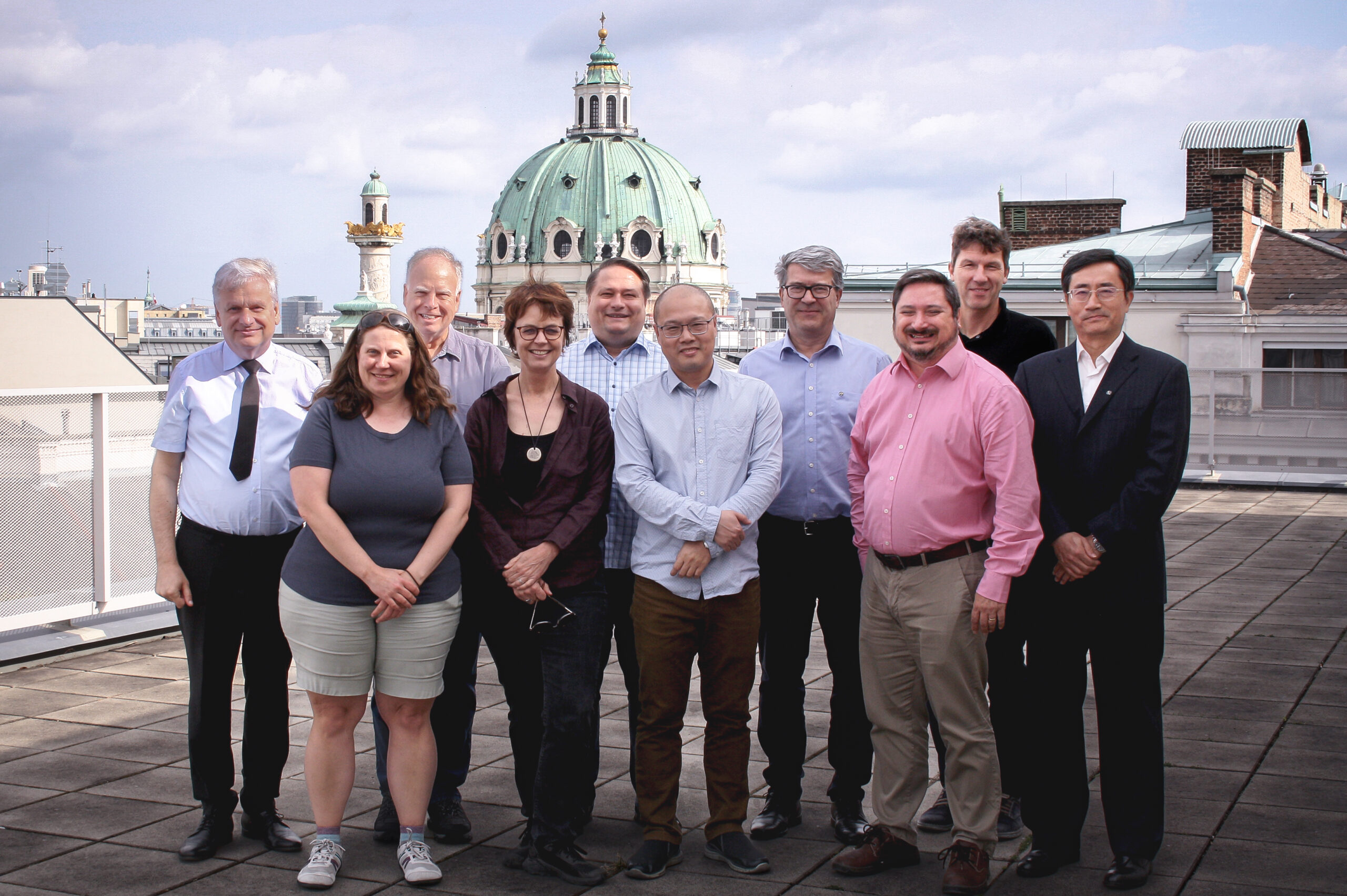
This team has already met for the first Executive Committee meeting in Vienna and is keen to advance the International Cartographic Associations activities, instruments, aims and scope further. By doing so we are happy to build upon most successful former terms, such as the now ended with President Tim Trainor. We are highly grateful for all the work which has been done on behalf of ICA and we feel inspired to follow those paths!
– Georg Gartner
President of the International Cartographic Association


 It is with a heavy heart that I inform our ICA community of the tragic passing of our dear friend and colleague, Igor Drecki from New Zealand, and his wife, Iwona. Igor served with distinction as the