


A graffiti wall in Dresden, 2013
I argued further, that the enormous relevance of the ever growing amount of geodata and geoinformation can only be “unleashed” when it becomes accessible to human users. To make geodata and geoinformation accessible to human users means to try to package it in a way that it can be perceived, “digested” and used, thus simply communicated. I argued further, that this was and is exactly the aim and contribution of cartography. Maps are most successful in being the interface between spatial data and human users. They order information based on the spatial attribute, they engage to explore, the can be entertaining, they help to become spatially aware, they tell stories, they help me to position myself in a particular topic by showing entities and their relations.
I argued that without this contribution we would be somehow “spatially blind.” Maps enable us to answer space-related questions. Maps can be used to support spatial behaviour. I argued further, that in order to enable spatial thinking, spatial planning, spatial reasoning or decision making cartography is needed. I pointed out that maps are the most successful and powerful instruments to enable spatial awareness.
By looking at those arguments as a way to describe the relevance of cartography as a discipline and the enormous drive and popularity cartography gets from applying most contemporary technologies I argued in my take-away messages:
- Cartography is relevant
- Cartography is attractive
- Cartography is most contemporary
If my arguments are trueg, then there is no need to step back or hide away as a cartographer but rather the other way around. It is of high importance that cartography and cartographers are actively contributing their skills, knowledge, methods and research to the geospatial domains.
I therefore argued, that
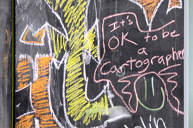
It is OK, to be a Cartographer!
Georg Gartner
President of the International Cartographic Association
