


Dear ICA Colleagues,
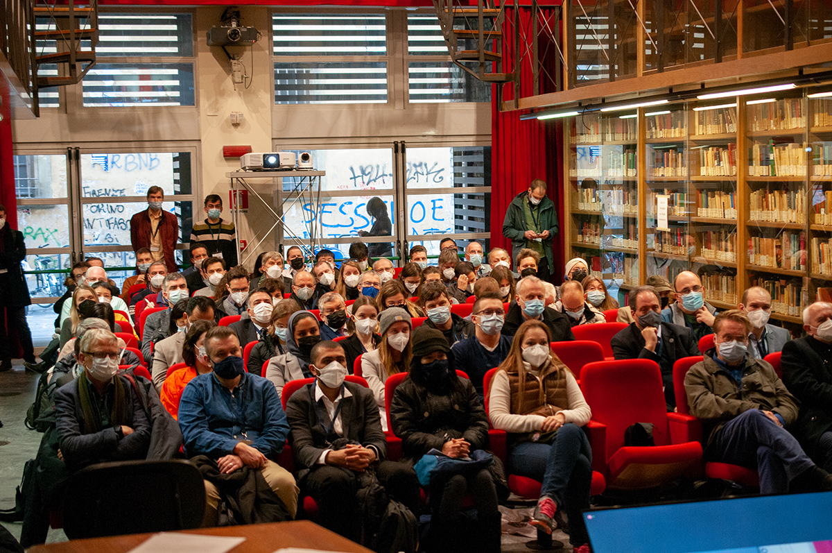
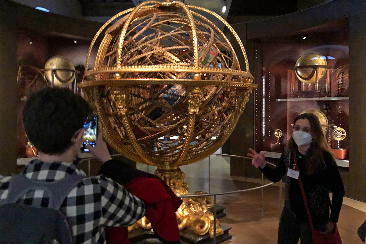
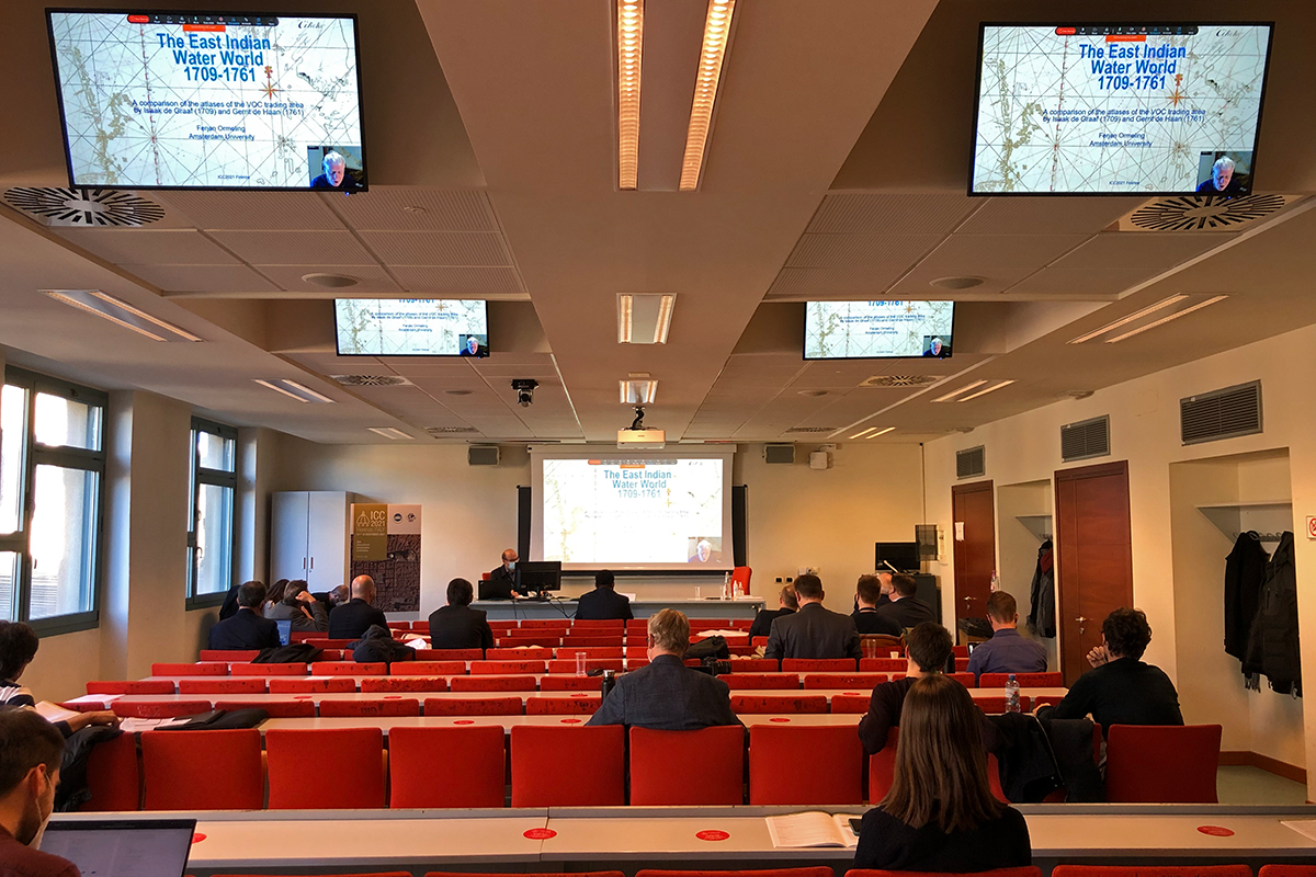
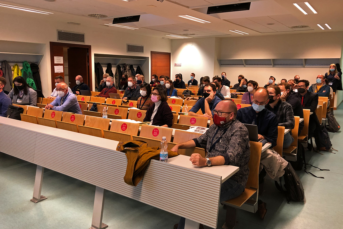
![]() The halls of the University of Florence are lively with ICC conference goers as they move from one session to another while our colleagues on-line from distant lands present, observe, and participate in sessions of their choosing. Dependence on internet connections from near and far is not perfect in a hybrid environment, but most sessions appear to work well. The International Cartographic Exhibition opened on Monday at the Italian Military Geographic Institute as well as the Children’s Cartographic Exhibition at the Palazzo Medici Riccardi.
The halls of the University of Florence are lively with ICC conference goers as they move from one session to another while our colleagues on-line from distant lands present, observe, and participate in sessions of their choosing. Dependence on internet connections from near and far is not perfect in a hybrid environment, but most sessions appear to work well. The International Cartographic Exhibition opened on Monday at the Italian Military Geographic Institute as well as the Children’s Cartographic Exhibition at the Palazzo Medici Riccardi.
Two special sessions are highlighted in this blog. What was learned from the special session on “Geospatial Data, Dashboards, Analytics and Scientific Communication – Lessons Learned from the COVID-19 Pandemic”? While the achievements have had an unparalleled global impact, there are more questions than lessons learned. This is critically important work that demands for more attention. This discussion needs to continue.
A second special session convened for National Mapping, National Geospatial, and National Statistical Agencies where they experienced a day of collaboration and information sharing. The United Nations Secretariat for UN-GGIM presented details on the Integrated Geospatial Information Framework (IGIF) where resource information was shared that is available on the UN-GGIM website. Several developing countries have been testing comprehensive IGIF information and tools. The UK Ordnance Survey discussed a collaboration with Zambia that is a model for data sharing, resource enhancement, and technology transfer that offers potential further development and use. Lastly, while the recent ICA/UN publication “Mapping for a Sustainable World” focuses primarily on thematic mapping topics, NMAs, NGAs, and NSOs were challenged to use the book’s construct to expand beyond their traditional work environments and product offerings.

– Tim Trainor
President of the International Cartographic Association
Photos by Stephan Wondrak – thanks!
