


Publications of conferences and workshops
The ICA publishes the outcomes of its conferences and workshops in three series:
- Advances in Cartography and GIScience of the International Cartographic Association (short: Advances of the ICA, eISSN 2570-2084): single-blind peer review based on a full paper;
- Proceedings of the International Cartographic Association (short: Proceedings of the ICA, eISSN 2570-2092): single-blind peer review based on submitted abstracts, developed to full paper;
- Abstracts of the International Cartographic Association (short: Abstracts of the ICA, eISSN 2570-2106): single-blind peer review based on submitted abstracts; publication of abstract only.
Events
| Year | Event title | Date, place | Advances volume number | Proceedings volume number | Abstracts volume number |
|---|---|---|---|---|---|
| 2023 | 31st International Cartographic Conference – ICC 2023 | 13–18 August 2023, Cape Town, South Africa | 4 | 5 | 6 |
| 2022 | European Cartographic Conference – EuroCarto 2022 | 19–21 September 2022, Vienna, Austria | 5 | ||
| 2021 | 24th ICA Workshop on Map Generalisation and Multiple Representation – Building Benchmarks for Map Generalisation | 13 December 2021, Florence, Italy | 4 | ||
| 2021 | 30th International Cartographic Conference – ICC 2021 | 14–18 December 2021, Florence, Italy | 3 | 4 | 3 |
| 2021 | 8th International Symposium of the ICA Commission on the History of Cartography “Mapping the Ottoman Realm: Travelers, Cartographers and Archaeologists” | 21–23 April 2020, Istanbul, Turkey (rescheduled for December 2021, Florence, Italy) | 3 | ||
| 2020 | Central European Cartographic Conference and 68th German Cartography Congress – EuroCarto 2020 | 21–25 September 2020, Vienna, Austria (online) | 2 | ||
| 2019 | 15th International Conference on Location Based Services – LBS 2019 | 11–13 November 2019, Vienna, Austria | 2 | ||
| 2019 | The 29th International Cartographic Conference | 15–20 July 2019, Tokyo, Japan | 1 | 2 | 1 |
| 2017 | The 28th International Cartographic Conference | 2–7 July 2017, Washington, D.C., USA | 1 |
Useful resources
- Publication regulations
- Templates: Word-Template | LaTeX-Template
- Licence and copyright agreement
- Publication ethics
- Article level metrics
International Journal of Cartography (IJC)

Published by Taylor & Francis for ICA
Print ISSN: 2372-9333
Online ISSN: 2372-9341
Current editors: William Cartwright and Anne Ruas
tandfonline.com
ICA News

Published twice a year in print and pdf form.
For information, please visit the ICA News page.
ICC Proceedings 1993–2015
Until 2015, proceedings of International Cartographic Conferences (ICC) were published by the local organizing committees for ICA. Digital versions are available online since ICC 1993.
- 27th ICC, Rio de Janeiro 2015 (external link)
- 26th ICC, Dresden 2013 (external link)
- 25th ICC, Paris 2011 (external link)
- 24th ICC, Santiago 2009 (external link)
- 23rd ICC, Moscow 2007 (external link)
- 22nd ICC, A Coruña 2005 (external link)
- 21st ICC, Durban 2003 (external link)
(only works when opened within the browser) - 20th ICC, Beijing 2001 (external link)
- 19th ICC, Ottawa 1999 (zip file, 75mb)
- 18th ICC, Stockholm 1997 (external link)
- 17th ICC, Barcelona 1995 (external link)
- 16th ICC, Cologne 1993 (external link)
Affiliate Journals

The Cartographic Journal
Published by Taylor & Francis for the The British Cartographic Society
First published in 1964
Print ISSN: 0008-7041
Online ISSN: 1743-2774
Current editor: Alexander Kent
https://www.tandfonline.com/journals/ycaj20
 Cartographica
Published by University of Toronto Press for the Canadian Cartographic Association
First published in 1965
Print ISSN: 0317-7173
Online ISSN: 1911-9925
Current editors: Emmanuel Stefanakis
www.utpjournals.press/loi/cart
 Cartography and Geographic Information Science (CaGIS)
Published by Cartography and Geographic Information Society (CaGIS)
First published in 1973
Print ISSN: 1523-0406
Online ISSN: 1545-0465
Current editor: Nicholas Chrisman
https://www.tandfonline.com/journals/tcag20
Mapping for a Sustainable World
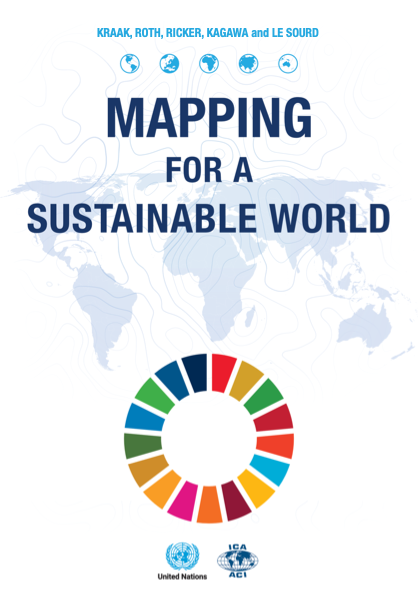 On the International Day of Education 2021 the new book Mapping for a Sustainable World a co-publication by the United Nations and the International Cartographic Association, was published online.
It is published as an open access document according to the CC BY-NC license. Drawing from cartography, the book offers guidelines for mapping geographic datasets related to the U.N. Sustainable Development Goals (SDGs) by introducing basic principles of map design and use, discussing established best practices and conventions, and explaining how different mapping techniques support understanding of the SDGs. The pdf-version of the book can be downloaded from the page https://www.un-ilibrary.org/content/books/9789216040468. The book was also printed. Printed copies can be obtained from the authors, at ICA conferences or from the ICA Secretary-General.
Menno-Jan Kraak (ICA), Robert E. Roth (ICA), Britta Ricker (ICA), Ayako Kagawa (UN), Guillaume Le Sourd (UN): “Mapping for a Sustainable World”, Unites Nations & International Cartographic Association, New York, 2020, 152 pages.
Cartographier pour un monde durable
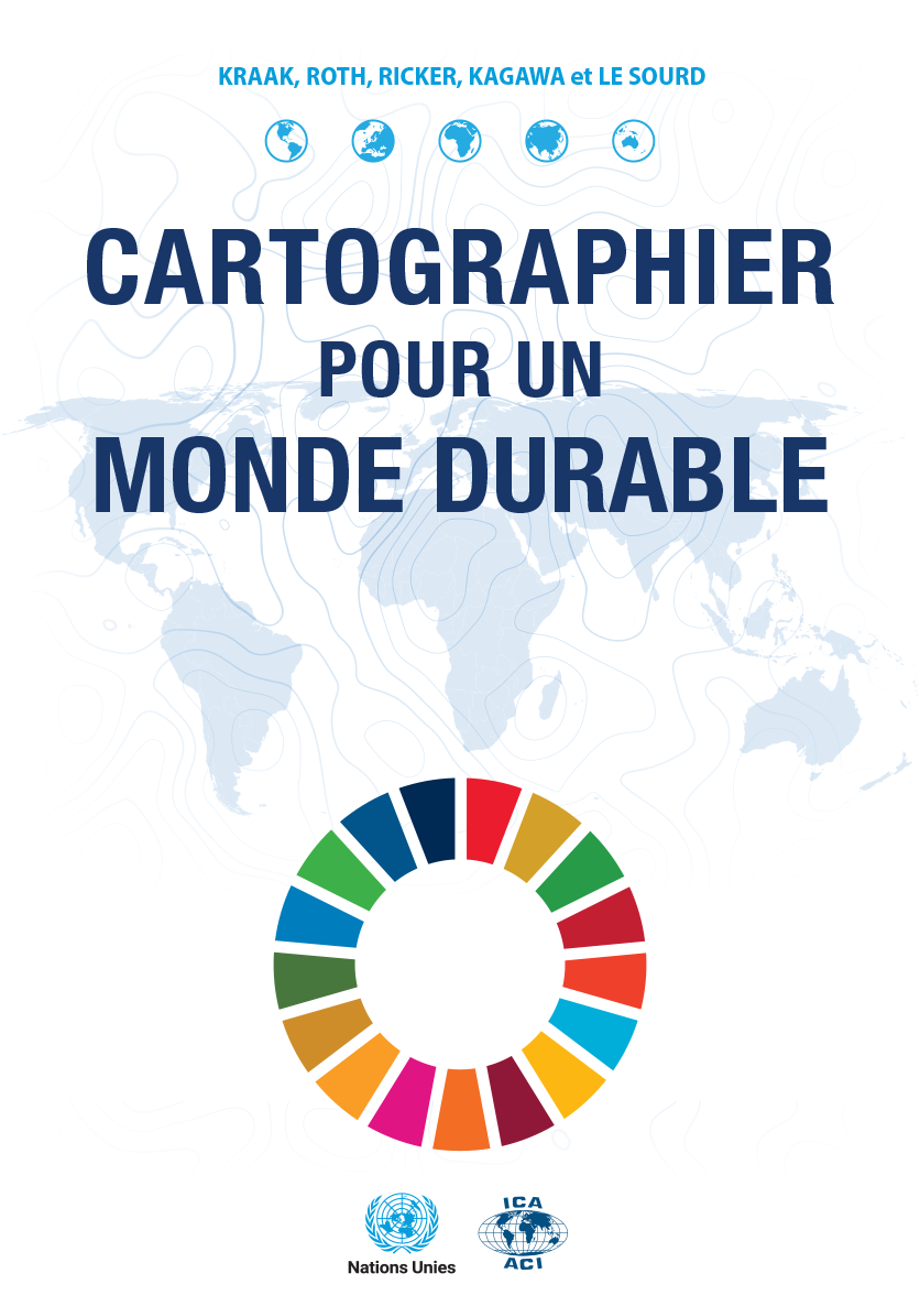 Le livre de Menno-Jan Kraak (ACI), Robert E. Roth (ACI), Britta Ricker (ACI), Ayako Kagawa (ONU), Guillaume Le Sourd (ONU), que l’ICA a publié en 2021 en collaboration avec les Nations Unies sur le thème important des Objectifs de Développement Durable (ODD), existe maintenant aussi en français – la deuxième langue officielle de l’ICA.
La version pdf du livre peut être téléchargée à partir de la page accessible via https://digitallibrary.un.org/record/3898826?ln=en. Une version imprimée est en préparation.
The world drawn by children. Maps from the Barbara Petchenik International Competitions 2017 & 2019
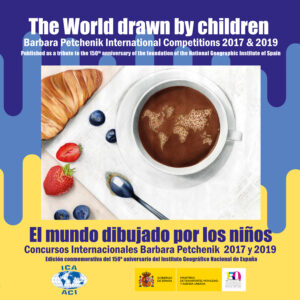 The National Geographic Institute of Spain has published the book “The World drawn by children. Barbara Petchenik International Competitions 2017 & 2019 / El mundo dibujado por los niños. Concursos Internacionales Barbara Petchenik 2017 y 2019” as a tribute to the 150th anniversary of its foundation.
This book has been created thanks to the valuable contribution of the ICA Commission on Cartography & Children and the remarkable cooperation of the Spanish Society for Cartography, Photogrammetry and Remote Sensing. However, above all, it could only come into fruition thanks to the wonderful drawings made by children competing in the 2017 and 2019 editions of the international competition. This competition is organised by the ICA and aims to promote creative representation of the world as seen by schoolchildren, to strengthen geographic and cartographic knowledge and to make participants aware of the world in which they live, favouring understanding and preservation.
The pdf-version of the book can be downloaded here (35mb).
More books on the Barbara Petchenik Children’s Map Competition can be found here.
The World of Maps
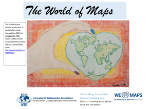 The World of Maps is a book produced to accompany the International Map Year. The perspective of the book is to broaden the knowledge of cartography and geographic information among the general public and especially among school children. The World of Maps includes individual chapters covering a variety of cartographic topics and issues that form a coherent introduction, reference volume and work-book for those who are interested in investigating the nature of contemporary mapping.
It has been translated to several languages, an overview can be found here.
B. Rystedt, F.J. Ormeling (ed.): “The World of Maps”,
International Cartographic Association, Stockholm, 2014, 147 pages.
The Atlas Cookbook
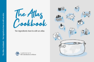 The ICA Commission on Atlases published “The Atlas Cookbook – 10 ingredients how to edit an atlas”. The intention of The Atlas Cookbook is to advise atlas authors in a general way to give an overview over the realization phases, to show how to start a new atlas project (which is always the hardest part), and how to deal with conceptual, organizational, graphical or publishing issues.
The Atlas Cookbook is intended for atlas makers, map producers, and all kind of cartographers; it can be read as a whole, but even just a single chapter can help! The Atlas Cookbook is written at a management level, not in a technical way. Most comments and recommendations apply to current and emerging digital technologies, but many sections are also valid and useful for editing printed atlases.
To get a digital copy, you can download it here. You can download it for free and use it according to the CC license. Additionally, a printed book in a limited edition of 200 copies was produced, supported by ICA and ETH Zurich.
![]()
Springer
The Springer ICA series is a subseries of the Lecture Notes in Geoinformation and Cartography.
- Burghardt, D., Duchene, C. & Mackaness, W. (2014),
Abstracting Geographic Information in a Data Rich World (external link) - Moore, A. & Drecki, I. (2013), Geospatial Visualization (external link)
- Zentai, L. & Reyes Nunez, J. (2012), Maps for the Future (external link)
- Liebenberg, E. & Demhardt, I. (2012), History of Cartography (external link)
- Ruas, A. (2011), Advances in Cartography and GIScience. Volume 1 (external link)
- Ruas, A. (2011), Advances in Cartography and GIScience. Volume 2 (external link)
![]()
Elsevier Science
- Curran, J. (1988), Compendium of Cartographic Techniques
- Moellering, H. (1997), Spatial Database Transfer Standards 2 (external link) (20 % off for ICA Members; contact Linda Versteeg)
- Peterson, M. P. (2003), Maps and the Internet, volume 1 (external link)
- Moellering, H. (2005), World Spatial Metadata Standards (external link)
- Dykes, J., A. M. MacEachren and M. J. Kraak (2005), Exploring Geovisualization (external link)
- Mackaness, W. A, A. Ruas and L. T. Sarjakoski (2007), Generalisation of Geographic
Information (external link) - Taylor, D. R. F. (1999), Policy Issues in Modern Cartography: R & D (external link) (20 % off for ICA Members; contact Linda Versteeg) is published in the Modern Cartography series and not in the International Cartographic Association book series.
![]()
Butterworth Heinemann
(a subcompany of Elsevier specialized in educational books)
- Anson, R. and F. J. Ormeling (1994), Basic Cartography, volume 1, ed. 2
(copies available at Amazon.com (external link)) - Anson, R. and F. J. Ormeling (2002), Basic Cartography, volume 2, ed. 2
- Anson, R. and F. J. Ormeling (1996), Basic Cartography, volume 3
![]()
Map Collector Publications
- Pelletier, M. (1996), How to Identify a Map Maker
- Wallis, H. and A. H. Robinson (1987), Cartographical Innovations
GIM International: ICA reports
ICA regularly publishes in GIM International magazine. All current issues (since 2014) can be found in the online archive of GIM. Older contributions can be found below. You can access the scanned monthly pages bundled as one PDF per year.
- 2014 (1.1mb)
- 2013 (3.7mb)
- 2012 (3.2mb)
- 2011 (3.3mb)
- 2010 (3.5mb)
- 2009 (3.7mb)
- 2008 (3.1mb)
- 2007 (2.7mb)
- 2006 (2.8mb)
- 2005 (2.6mb)
- 2004 (1.9mb)
Publication Agreement
By submitting a paper or similar type of work to an ICA conference, symposium or commission meeting the author allows ICA to publish it on paper or in digital form and to distribute copies free of charge or for sale. All other rights remain with the author.
Paper submitted should be original contributions and should not be under consideration for any other publication. Authors submitting papers warrant that the work is not an infringement of any existing copyright and will indemnify the ICA against any break of such warranty. If the paper has some kind of text, illustration or image with copyright a declaration of the corresponding copyright shall be included. The author is responsible for obtaining the necessary permission of copyright.

11 Responses