AutoCarto is a Cartography and Geographic Information Society (CaGIS) research symposium held every two years. CaGIS is the US adhering body to the ICA. AutoCarto 2016 was held in Albuquerque, New Mexico, USA, 14 – 16 September 2016.
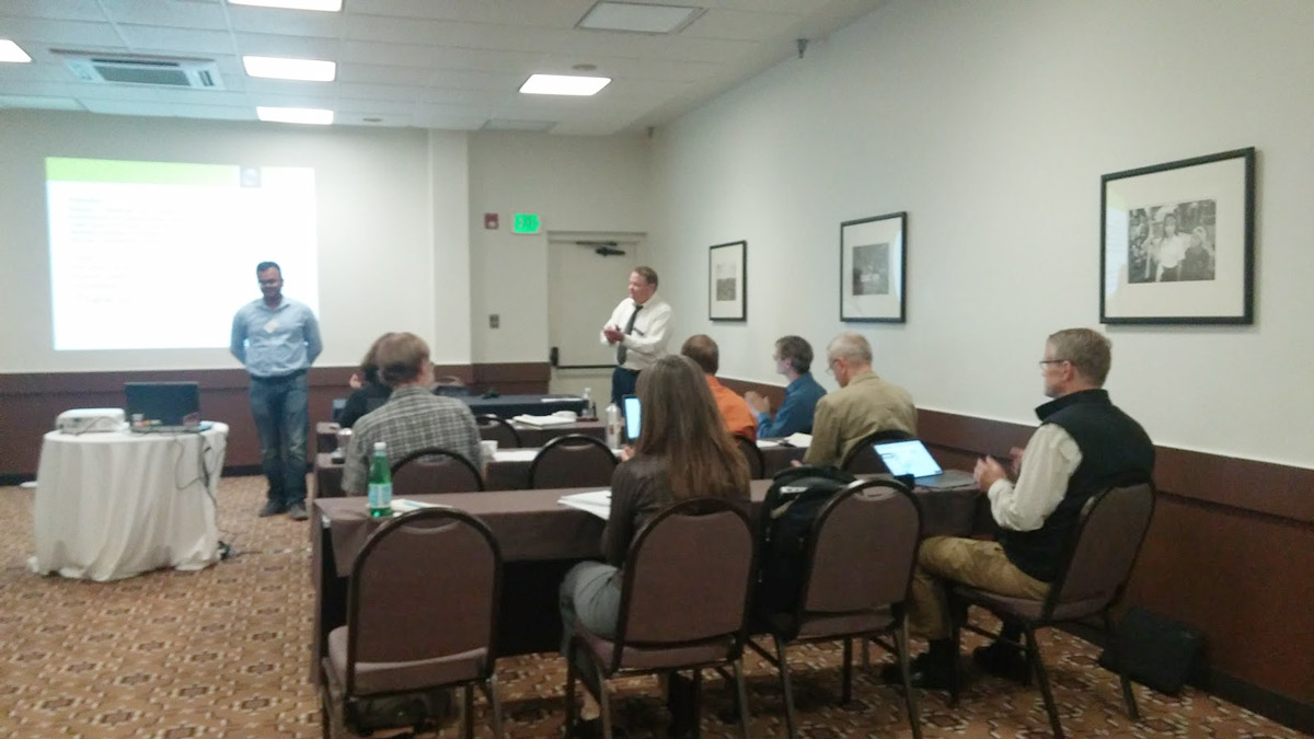
The ICA Commission on Open Source Geospatial Technologies held a very well-attended, successful one-day workshop on Advancing GIScience with Open Source Technologies the day before the start of Auto Carto. The agenda (details below) consisted of seven invited speakers and an open discussion session. The Chair of the commission, Silvana Camboim, opened the presentations and led the discussion. The Vice-Chair, Michael P. Finn, organized the workshop and served as the moderator.
All the presentations are available on GitHub at this URL: https://github.com/mfinnCEGIS/workshopAdvancingGIScienceOST/, which includes the original agenda announcing the workshop and a subdirectory of photographs.
There were 22 attendees from six nations, including the President of ICA, Menno-Jan Kraak, who sat in during the afternoon and contributed to the lively open discussion. In addition, at the start of the discussion session, Helena Mitasova, North Carolina State University, USA, did a short, overview presentation of “Geo forAll.”
Agenda
Invited Speakers (30 minutes each for presentation and questions)
- Experiences on How Openness Can Help to Reduce Inequality – Silvana Camboim, Federal University of Paraná – UFPR, BRAZIL, Commission Chair
- GRASS GIS as open source innovation platform: from dynamic visualizations to collaborative tangible modeling – Helena Mitasova, North Carolina State University, USA, co-authors: Anna Petrasova, Vaclav Petras, and Brendan Harmon
- Open-Source Software in the Cutting Edge Geocomputaion Research at ORNL – Alex Sorokine, Oak Ridge National Laboratory (ORNL), USA
- Keeping Map Data Current Through the Use of Volunteered Geographic Information – James McAndrew, Colorado State University, contractor to the US National Park Service, USA
- Teaching Open Source Web Mapping – Carl Sack, University of Wisconsin–Madison, USA, co-author: Robert Roth
- Doing Datacubes in Open-Source: the rasdaman Scalable Array Engine – Peter Baumann, Jacobs University Bremen, GERMANY
- Development of an Open Source 3D Browser to Visualize Modeling Results – Syed Monjur Murshed, European Institute for Energy Research (EIFER), GERMANY, co-authors: Jochen Wendel, Akila Sriramulu, and Alexandru Nichersu
Open Discussion: Future Directions: Thinking About the Road Ahead – chaired by Silvana Camboim
– Michael P. Finn
Vice-Chair, ICA Commission on Open Source Geospatial Technologies


