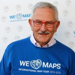
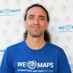
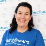
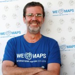
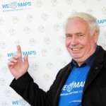
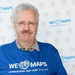
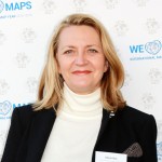
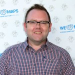
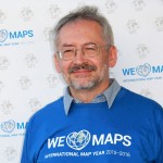
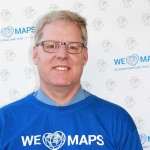
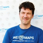
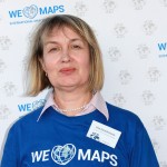
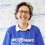
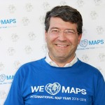
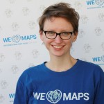
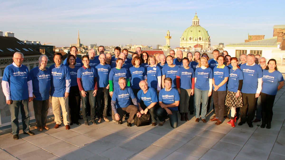
November 8 and 9, 2015 the (co)chairs of ICA’s Commissions and Working Groups met with the members of the Executive Committee (EC) to discuss the future activities of the ICA. The objective of the meeting was to offer the ICA officers a good and fresh start for the 2015–2019 period. A side effect of the meeting was that all of us met new and old friends, and we had a chance to become familiar with each other.
The meeting, hosted by the Past-President at the Technical University of Vienna, was organized in three distinct parts. The first dealt with “What ICA expects from you”, the second part with “What do you expect from ICA”. The third part was linked to the International Map Year (IMY) and the UN sustainability goals.
What ICA expects from you
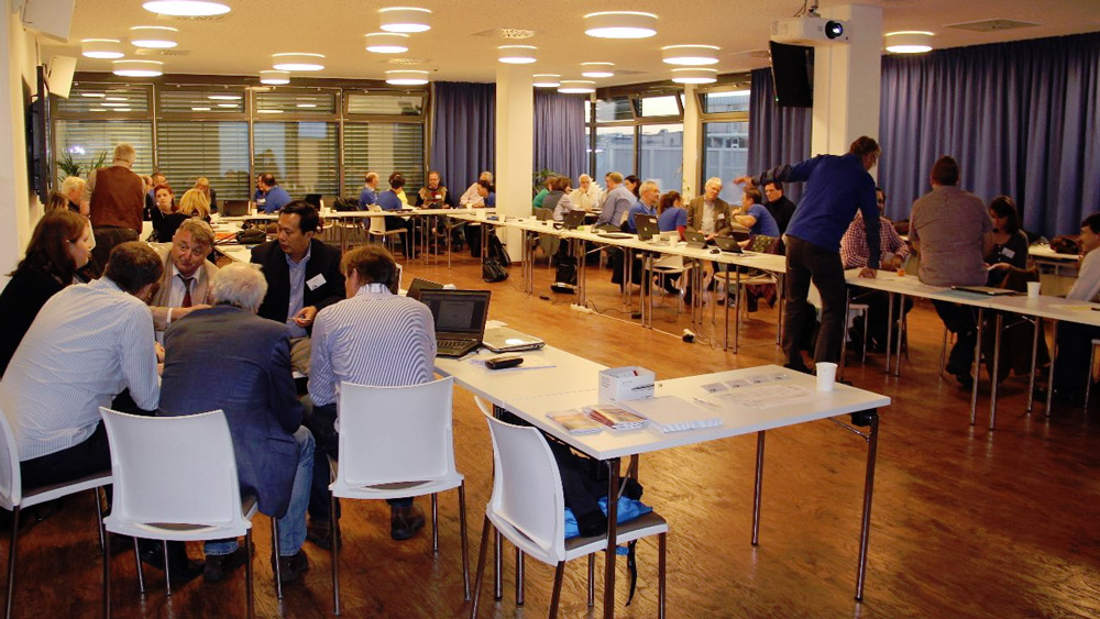
After an introduction round, Laszlo Zentai, our Secretary-General informed us on how ICA Commissions and Working Groups are supposed to operate, based on our statues and by-laws. This included information on how to organize a Commission (Chair/co-chair, website, members etc), how to communicate within ICA (the newsletter, the bi-annual report to the EC), options for publication of results (our International Journal of Cartography, again ICA news and the Springer book series), activities related to our International Cartographic Conferences (reviews, (joint)workshops, business meetings), and financial support. This might seem trivial since all information is available on the website, but it proves that these sessions are useful anyhow.
In an exercise the (co)chairs had to revisit their terms of reference, and decide which of those will be their focus point in the next four years. These so-called flagship projects could be joint commissions efforts. Also they had to think of there planned activities on the short term and for whole 2015-2019 period, to allow us share and combine events. And as you can imagine, they had to indicate how they would think to contribute to the International Map Year.
What do you expect from ICA
This session started with short presentations by different EC members of what we call ICA’s instruments, such as our strategic plan, the ICA directory, publications, the research agenda, our scholarships, and ICA external relations with the Joint Board of GIS and the GeoUnions. The first unites international organizations involved with geospatial information and strives to act as a collective and unified voice at the international level, such as within the UN. The second represents those geo-related organizations that are member of ICSU.
After this flow of information, the (co)chairs where asked to react and express their opinion about our instruments both from a positive and negative perspective. They where also asked to come forward with any issue they would like to see discussed to be able to let ICA better operate.
IMY / Mapping the sustainability goals
The third part of the workshop dealt with the International Map Year (IMY) and how we as ICA can make an impact by “mapping” the sustainability goals.
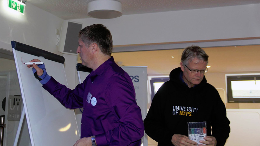
The new UN 17 sustainability goals can be found at sustainabledevelopment.un.org. Each of these goals has a specific objective. For instance Goal 4 on education states: “Ensure inclusive and equitable quality education and promote lifelong learning opportunities for all”. For each goal a number of targets have been set. An example of an educational target is “By 2030, ensure that all girls and boys complete free, equitable and quality primary and secondary education leading to relevant and effective learning outcomes”. To see if those target are met multiple indicator have been defined. Indicators are numbers, for instance “Completion rate (primary, lower secondary, upper secondary)”.
These indicators can be mapped. As individual variable or in combination with each other. During the IMY ICA will organize a cartographic exhibition at the next UNGGIM meeting in New York, August 2016. The plan is to create a set of 17 posters, one for each goal that demonstrates how maps can help to get insight in these goals. The plan is not just to create a single map for each goal. The idea is to offer different cartographic perspectives on these goals via story maps. These perspectives are offered by our Commissions. Each of the 17 goals has been adopted by two Commissions and together these wil map a goal based on their skills set. So for instance the poster that involved the Commission on Visual analytics might show how in an exploratory environment one can combine different indicators to reveal trends, the poster involving the Commission Mountain Cartography could show how the landscape influences the distribution of certain phenomena. The poster co-designed by the Commission on Map Projections might show good and bad examples of global projection.
The final goal of this exercise is to create an atlas of best practices of mapping the sustainability goals. This should be ready by the end of the 2015–2019 period.
– Menno-Jan Kraak
President of the International Cartographic Association
 The ICA Commission on Location Based Services and Technische Universität Wien are pleased to invite you to the 15th International Conference on Location-Based Services (LBS 2019), which will take place in Vienna, Austria on 11–13 November 2019.


