The International Cartographic Association is an organization of organizations. It is built upon its members, consisting of National Members and Affiliate Members.
What are members?
National Members are those national cartographic or geographical information organisations, national mapping and cadastral institutions, or coordinating national cartographic committees who wish to represent their nation as a member in ICA. Affiliate Members are organisations, institutions or companies wishing to support the mission and activities of the International Cartographic Association.
ICA has a long list of active members, which can be found at icaci.org/national-members and icaci.org/affiliate-members. Membership comes with a lot of benefits, the most important one as being an active and driving part of the mission, aims and scope of the world of cartography! Details about this can be found on icaci.org/membership-types.
What members do
It is important for ICA that our members flourish. Only if our members are strong, ICA can be a strong global voice for cartography. As the world is changing, the role of societies, institutions and associations is changing as well. In some of our member countries the representation of the national cartographic community might be decreasing, limited or changing. I want to therefore highlight from time to time some best practices and selected successful activities some of our members are pursuing. As I had the opportunity to participate in three recent events let me describe activities of the British Cartographic Society, the German Cartographic Society and the Hellenic (Greek) Cartographic Society as examples.
British Cartographic Society
On 20. September 2023 the British Cartographic Society (BCS) celebrated 60 years during their annual conference at Cambridge, UK. BCS has developed since its foundation 1963 a wide range of activities. To name a few highlights I want to mention publications, such as The Cartographic Journal as well as the magazine “Maplines”. To give map curators a home BCS is also providing a periodical newsletter called “Cartographitti”. BCS has also developed a variety of awards for excellence in cartography, which are presented at the annual conferences. Those awards include entries for best map, printed maps, electronic maps, thematic maps, use of Ordnance Survey Data and 3D cartography as well as the Henry Johns Award for the most outstanding article published in the Cartographic Journal. On their website BCS provides also resources for education, including free data, software links and online support sites. Also, annual conferences are organized as well as so called “Tea Time Talks”, giving the members several opportunities to stay connected. It should be mentioned as well, that BCS has always been a key member of the International Cartographic Association, providing beneath two presidents (Deny Thackwell 1964-1968, Michael Wood 1995-1999) several Vice-Presidents, Commission Chairs and Map Enthusiasts!
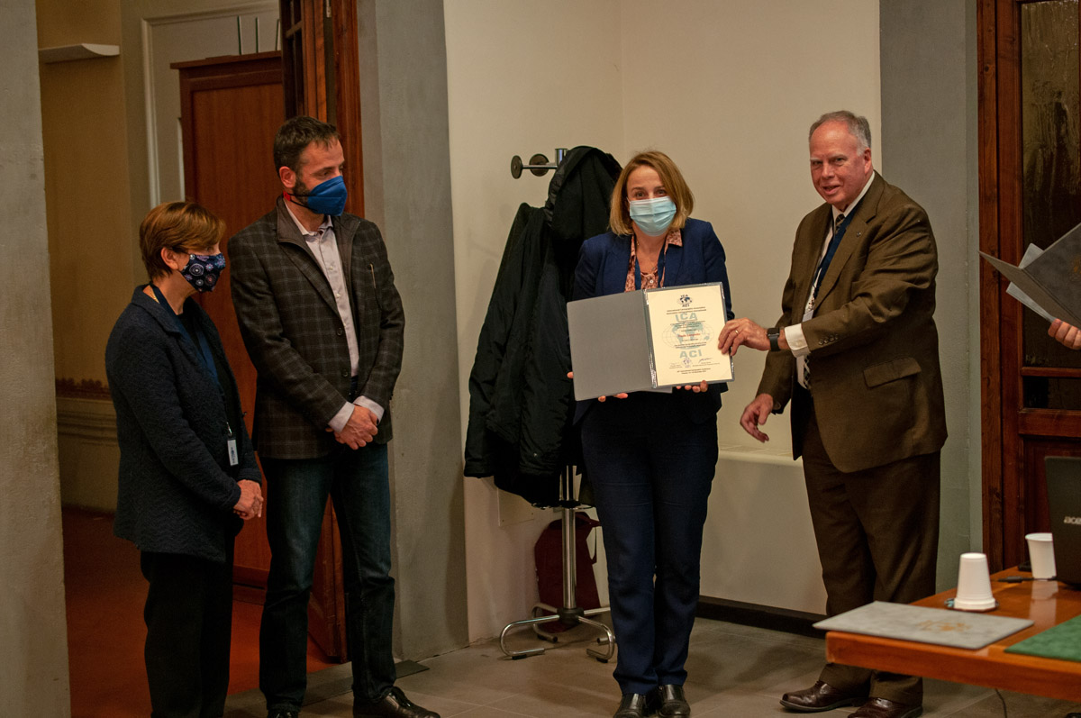
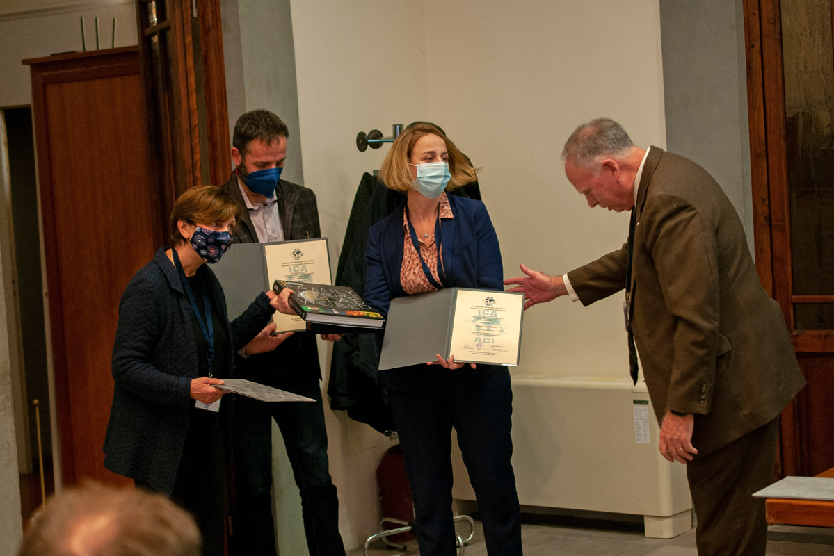
During the celebrations of the 60th Anniversary I had the opportunity to address the members as well as hand over one of the BCS awards for excellence in cartography as well as hand over an ICA Map Exhibition Award Winner from ICC 2023.

Former SG David Fairbairn and former VP David Forrest enjoying the festive celebrations of the 60th Anniversary of BCS

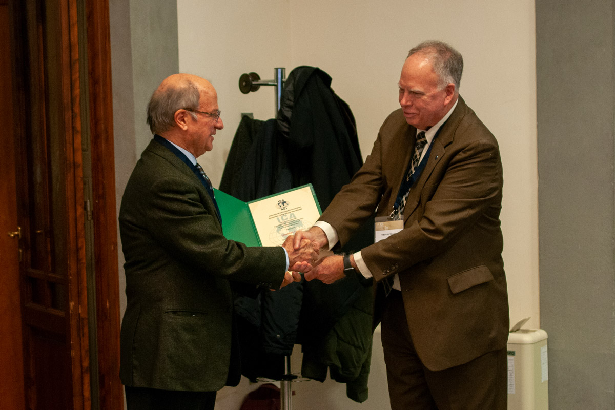
Georg Gartner handing over the Stanfords Award to Luke Harvey (Harvey Maps) for the Map “Wales Coast Path”

Georg Gartner handing over the Certificate for the 2nd place of the International Cartographic Exhibition at ICC 2023 in the category “Map on Panel” for the entry “The World – Great Discoveries”
German Cartographic Society
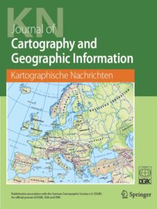
Cover of Kartographische Nachrichten
The German Cartographic Society (Deutsche Gesellschaft für Kartographie, DGfK) has just recently organised it‘s 71. German Cartographic Conference (Deutscher Kartographentag). The DGfK was founded already in 1950 and has since then developed several activities to promote cartography, such as thematic commissions, regional sections, educational materials, symposia (such as the legendary “Arbeitskurse Niederdollendorf” and the follow-up events called “Symposium Practical Cartography”), or the annual german cartographic conference. DGfK is also awarding outstanding scholars with the very prestigious “Mercator-Medal”. The recently offered “CartoCafé” is a regular series of online lectures and presentations and has found its audience. DGfK is also organizing once a year a “new year event”, which has become a very popular meeting point. It has to be mentioned especially, that the society is running its own journal, the “Kartographische Nachrichten”. DGfK has been always a strong member and supporter of ICA, contributing with ideas, activities and persons to all the ICA activities over decades.
Hellenic Cartographic Society
The Hellenic Cartographic Society was established 1994 in Thessaloniki. Soon the organization developed as the main forum for cartographers in Greece, organizing since 1994 sixteen cartographic conferences all over the country. The society is most successful in reaching out to all main stakeholders of cartography in Greece, including National Agencies, Academia, Practicioners as well as companies. The HCS is a very active partner of ICA, contributing regularly to the Barbara Petchenik Map Competition, supporting actively the FIG/IHO/ICA International Board of Standards of Competence for Hydrographic Surveyors and Nautical Cartogaphers, being the founder and driver of the ICA Commission on Cartographic Heritage into the Digital, which also runs its own journal called “e-perimetron”.

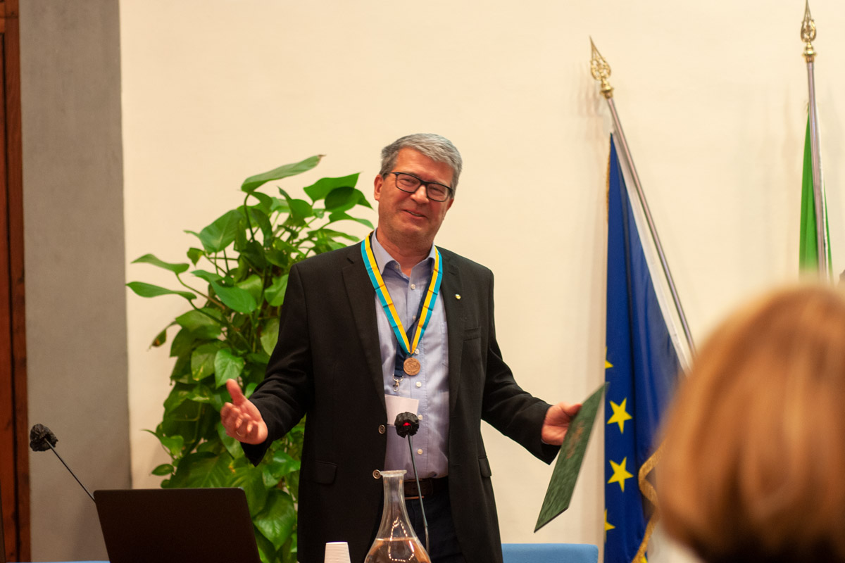
Current President of HCS Chrysoula Boutoura, Former President and ICA Honorary Fellow Evangelos Livieratos and ICA President Georg Gartner at the Hellenic Cartographic Conference in Athens, November 2023

Prof Evangelos Livieratos receiving a honourable professorship of University of Western Attica during the Hellenic Cartographic Conference November 2023