Welcome to the International Cartographic Association
Welcome to the website of the International Cartographic AssociationGet to know the new ICA Executive Committee for the term 2023-2027Get to know the ICA Commissions for the term 2023-2027
Welcome to the website of the International Cartographic Association
Get to know the new ICA Executive Committee for the term 2023-2027
Get to know the ICA Commissions for the term 2023-2027

Programme of the ICC2017 Pre-Conference Symposium on Location-Based Social Media and Tracking Data is available

Symposium-header

The ICA Commission on Geospatial Analysis and Modeling and the ICA Commission on Location-Based Services are organizing a pre-ICC2017 symposium on location-based social media and tracking data.

The programme has just been published on the symposium at lbs.icaci.org. In total, we have accepted 27 oral presentations for the symposium. These presentations will be organized into 6 oral sessions, covering

  • theories and data models,
  • participation and user tasks,
  • traffic modelling,
  • analyzing human dynamics,
  • research applications using location-based big data and
  • place modelling.

After the symposium, a special issue of the International Journal of Geographical Information Science (IJGIS) is planned.

For more details regarding the symposium, please refer to http://gam.icaci.org/symposium2017/.

Looking forward to seeing you at the symposium.

– Huang Haosheng (LBS)
– Angela Yao (GAM)

Invitation to the ICC Joint Pre-Conference Meeting on Disaster Management, Big Data, Services, and Cartographic Representation

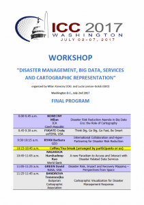
Click here to download the program as PDF

The ICA Commission on Cartography in Early Warning and Crises Management (CCEW&CM) and GEO (Group of Earth Observations) are organizing a joint workshop within the activities of the 28th International Cartographic Conference.

  • Location: Marriott Wardman Park Hotel, Washington, DC
  • Date: Sunday, July 2, 8.30am–6pm
  • Cost: 30 USD
  • Registration: via icc2017.org; also on-site registration starting at 7.30am in front of the workshop room

The final program can be downloaded here.

Milan Konecny, ICA CCEW&CM Commission Chairman, sent us the following details on the event:

You can see that in cooperation with GEO we arranged topic speakers leaded by Ms. Barbara Ryan, The GEO Secretariat Director, and Mr. Craig Fugate, former FEMA (USA) administrator. Keynotes deal with better, faster and smarter solutions in Big Data Era and also with international collaboration and hyper-partnering for Disaster Risk Reduction. Also research agenda of  the ICA CCEW&CM will be presented by commission chairman.

We also invited  specialists and experts in cartography and GI sciences and remote sensing, investigating various topics connected with workshop agenda, such as: problems with help of  geospatial information for disaster risk management, investigation on positioning technologies for emergency rescue, cartographic generalization and visualization  for disaster  management response, isaster risk, impact and recovery mapping supported by data and information from  Space, geodisasters for capacity building dealing with  Big Data, from satellites, drones and others, to products, attempts of  new Paradigm to access and interact with disaster related data services, and last but not least using data and creating and designers of new approaches inside the research frontiers efforts like Smart Cities or Big Data, from Japan, USA, P.R. of China, Czech Republic, Bulgaria, Chile, South Africa.

As inspiring are expected also speeches from important organizations dealing with early warning, crises management and civil protection, like NASA, World Bank and U.S. Geological Survey.

All research agenda of the workshop would like to contribute to the agenda defined by Sendai U.N. Conference for Disaster Risk Reduction (DRR).

Contacts: 
An overview over the ICC2017 Pre-Conference Workshops

white-house-451544_1920-1180x450

Many ICA commissions use the days before the ICC conference for dedicated workshops on their fields of research. This year, the following workshops will take place:

Charting the Cosmos of Cartography: History – Names – Atlases

Meeting on Maps & the Internet, Ubiquitous Mapping and Education & Training

Mapping Tools for Non-Mapping Experts: Incorporating Geospatial Visualization Tools in Libraries

Different Fields – One Cartography

Supporting sustainable development with geoinformation management and modern maps: things you hardly consider

Workshop on Maps & Emotions

Workshop on Spatial Data Infrastructures, Standards, Open Source and Open Data for Geospatial (SDI-Open 2017)

Workshop on Generalisation and Multiple Representation

Symposium on Location-Based Social Media and Tracking Data

Critical Review on Using Developable Surfaces in Map Projections Theory & Standardization in Map Projections

  • Date: July 2
  • Location: Marriott Wardman Park Hotel, Washington, DC
  • Involved commission: Map Projections

Disaster Management, Big Data, Services and Cartographic Representation

Preserving Map Production Methodology Information

Invitation to the ICC Joint Pre-Conference Meeting on Maps & the Internet, Ubiquitous Mapping and Education & Training

The ICA Commissions on Education and Training, Maps and the Internet and Ubiquitous Mapping are organizing a joint meeting prior to the 28th International Cartographic Conference.

  • Location: The campus of William and Mary University in Williamsburg, VA USA
  • Date: Friday, June 30 and Saturday, July 1, 2017

Day 1: Map coding event

Presenters will lead map coding sessions. Participants can bring a laptop and work through coding problems with the presenters.

Day 2: Research presentations

Presentation topics will center on the fields of Cartographic Education, Web Cartography, Internet Mapping, and Ubiquitous Mapping. We encourage individuals to present on their latest research, both completed and in progress. Students and Early Career Faculty and Professional are encouraged to present their work.

Deadline for presentation submissions: April 30, 2017

Please find all information about registration, social events and travel options to Williamsburg on the meeting website: internet.icaci.org/commission-workshop-2017

Workshop organizer: Rex G. Cammack

Invitation to the Joint ICC Pre-Conference Workshop Different Fields – One Cartography

The ICA Commissions on Cartography and Children, Maps and Graphics for Blind and Partially Sighted People and Planetary Cartography have the pleasure to invite you to a one-day workshop on July 1, prior to the 28th International Cartographic Conference.

Key dates

  • 30 March 21 April: Deadline for the submission of full papers with registration form
  • 17 April: Notification of the authors
  • 6 June: Deadline for the submission of the registration form (without full paper, only participant)
  • 1 July: Workshop at the Marriott Wardman Park Hotel

Local Organizer: David Alvarez, JMT Technology Group (USA)

For more information, please visit the conference website: lazarus.elte.hu/~jesus/jointworkshop2017

Invitation to the 20th ICA Workshop on Generalisation and Multiple Representation

In the tradition of pre-conference workshops in association with the International Cartographic Conference (ICC) the ICA Commission on Generalisation and Multiple Representation will organise a workshop in Washington, United States, 1–2 July, 2017.

The workshop will explore new challenges and solutions in the domain of automated generalisation. A special focus will be set on approaches to generalise location-based social media data. The first day (1 July 2017) will be carried out as a regular workshop of the ICA Commission on Generalisation and Multiple Representation. For the second day we have the aim to have combined sessions with ICA Commission on Geospatial Analysis and Modeling and ICA Commission on Location-based Services on topics related to Scalability and Abstraction of Location-based Social Media Data and Tracking Data.

The challenges of research in Generalisation and Multiple Representation draws upon researchers and practitioners alike, working in the fields of on-demand mapping, geovisual analysis, multiple representations, data integration and generalisation of geographic information. Participants of the workshop are invited to submit research papers or positions papers.

Key dates

  • 1 March: Deadline for submission of short papers (limit 3000 words, and 8 pages including figures)
  • 17 April: Notification of acceptance of paper for presentation
  • 31 May: Deadline for submission of revised papers
  • 1–2 July: Workshop

Submission and review of short papers will be managed through EasyChair.

Workshop organizers: Dirk Burghardt, Cecile Duchene

For more information, please visit the conference website: generalisation.icaci.org/index.php/nextevents

Invitation to the ICA Pre-Conference Workshop Charting the Cosmos of Cartography: History – Names – Atlases

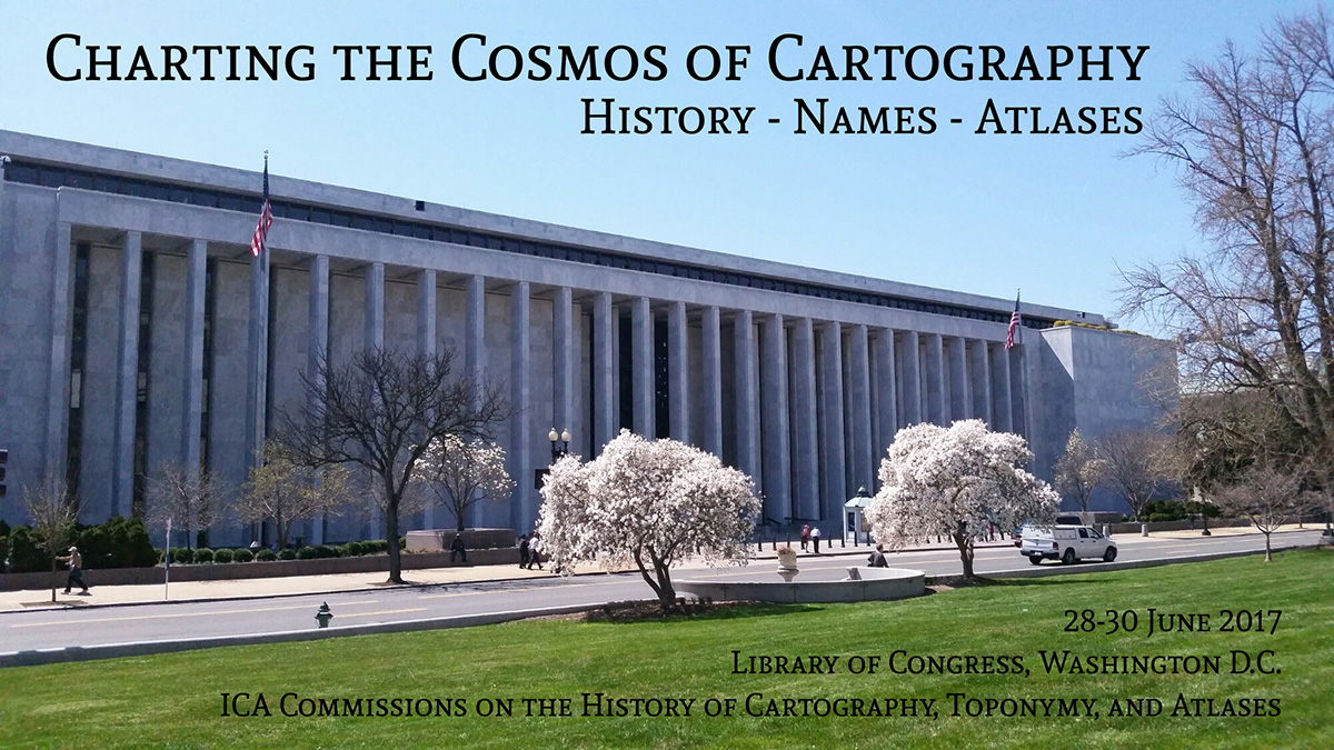
loc-madison-building-banner

In conjunction with the 28th International Cartographic Conference, held in Washington DC on 2–7 July 2017 (http://icc2017.org/), the Library of Congress’ Geography & Map Division and the three ICA Commissions on the History of Cartography, Toponymy, and Atlases would like to invite you to attend their joint pre-conference Workshop Charting the Cosmos of Cartography: History – Names – Atlases.

The workshop will be held at the Library of Congress (Madison Building) in Washington DC (USA), from Wednesday, 28 June to Friday, 30 June 2017.

Call for Papers

  • Deadline for submissions: 15 February 2017
  • Notification of acceptance: 15 March 2017

Participants are invited to submit abstracts on any topic of merit addressing at least one of the subjects of the partnering ICA Commissions. The abstracts should be between 200 and 500 words long, written in English and provided as a Word file using this template. A brief biographical note should also be provided at the end of the abstract. Each author, either as sole author or co-author, may only submit one paper proposal; each paper has to be an original contribution that has not been published or presented before.

All submissions must be sent electronically via the online submission system. When submitting, authors will also be asked to indicate their interest to write a full paper after the conference which – if enough authors are interested – will be published in a dedicated conference volume.

Please find more information and updates on the workshop website: history.icaci.org/washington-dc-2017

Invitation to the ICC2017 Pre-Conference Workshop Mapping Tools for Non-Mapping Experts: Incorporating Geospatial Visualization Tools in Libraries

Detail of George Washington's map A plan of my farm on Little Huntg. Creek & Potomk. R., 1766. Free downloaded from the Library of Congress web-provider.

Detail of George Washington’s map A plan of my farm on Little Huntg. Creek & Potomk. R., 1766. Free downloaded from the Library of Congress web-provider.

The ICA Commission on Cartographic Heritage into the Digital organizes a one day pre-conference workshop in the frame of the 28th International Cartographic Conference, Washington DC, USA, in association and partership with the MAGIC group.

This one day workshop will highlight and discuss how librarians can easily incorporate user-friendly geospatial visualization tools into their work – whether that is instruction sessions, workshops for faculty, graduate students or the community, or other projects within libraries.

Date & Venue

To be defined – tentatively before or after the ICC2017 in the same conference venue, the Marriott Wardman Park Hotel, located in Northwest DC.

Fees & Registration

Participation is free. The registration form can be found here.

Organizers & Contact

  • Marcy BIDNEY, Curator, American Geographical Society Library
  • Nathan PIEKIELEK, Geosaptial Services Librarian, The Pennsylvania State University

Contributions

  • BGDb.be: a map based search tool for geological publications Annick ANCEAU, Eric PIRARD, Pierre STEVENS
  • CartoShop: Empowering non-mapping experts to get spatial, one workshop at a time Theresa QUILL, Erika JENNS
  • Digital spatial indexes for large-scale urban atlases using GeoJson.io, GitHub, and Leaflet.js Evan THORNBERRY
  • Geovisualization instruction at Columbia University Libraries’ Digital Social Sciences Center Jeremiah TRINIDAD-CHRISTENSEN, Eric GLASS
  • “GIS for the Rest of Us”: Collaborating on GIS Education and Outreach at Ohio State Joshua SADVARI
  • Visual Knowledge Aggregation: From Static To Dynamic Information Systems in Library Contexts Andrea NANETTI, Angelo CATTANEO, Siew-Ann CHEONG, Yao-Yi CHIANG, Chin-Yew LIN

For more and updated information, please consult the workshop website: cartography.web.auth.gr/ICA-Heritage/2015-2019/pg/ICC2017.html

rawboned-refined