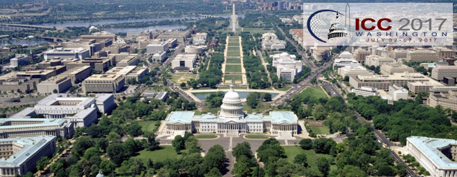
Many ICA commissions use the days before the ICC conference for dedicated workshops on their fields of research. This year, the following workshops will take place:
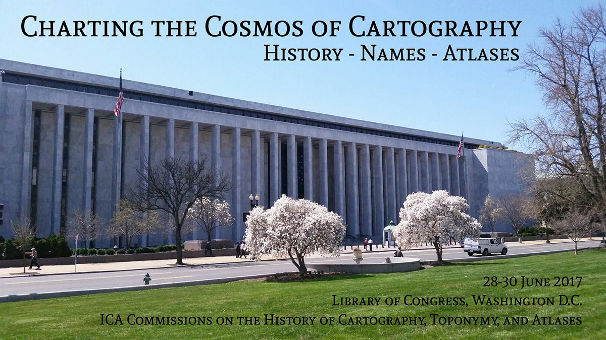
Charting the Cosmos of Cartography: History – Names – Atlases
- Date: June 28–30, 2017
- Location: Library of Congress (Madison Building) in Washington, DC
- Involved commissions: History of Cartography, Toponymy, and Atlases
- Deadline for submissions:
February 15 - Website
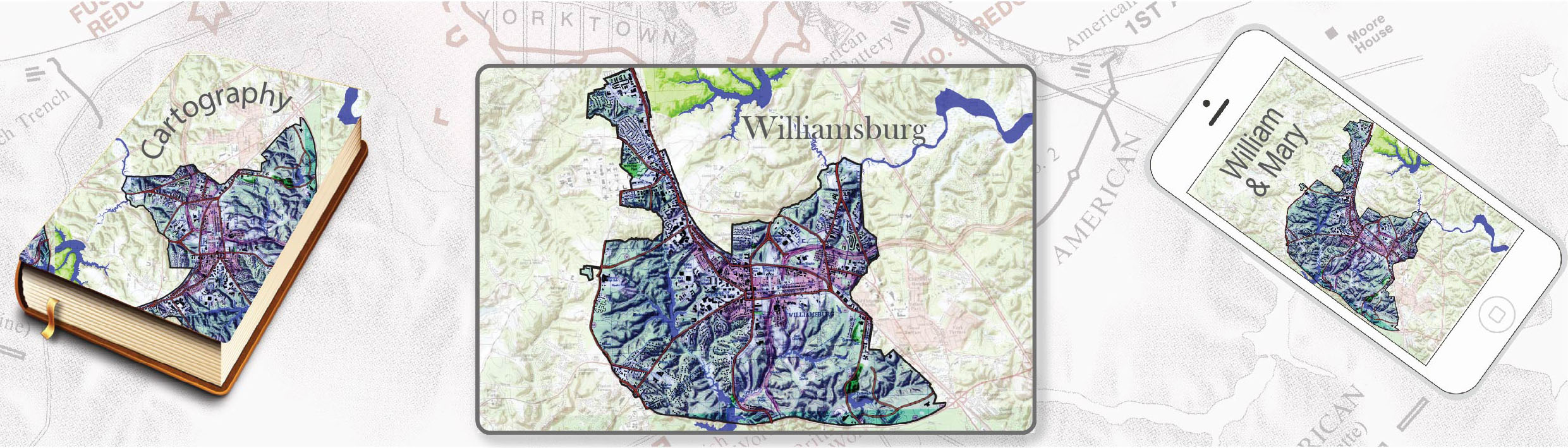
Meeting on Maps & the Internet, Ubiquitous Mapping and Education & Training
- Date: June 30 & July 1
- Location: The campus of William and Mary University in Williamsburg, VA
- Involved commissions: Education and Training, Maps and the Internet and Ubiquitous Mapping
- Deadline for submissions: April 30
- Website
Mapping Tools for Non-Mapping Experts: Incorporating Geospatial Visualization Tools in Libraries
- Date: July 1
- Location: Marriott Wardman Park Hotel, Washington, DC
- Involved commission: Cartographic Heritage into the Digital
- Website
Different Fields – One Cartography
- Date: July 1
- Location: Marriott Wardman Park Hotel, Washington, DC
- Involved commissions: Cartography and Children, Maps and Graphics for Blind and Partially Sighted People and Planetary Cartography
- Deadline for submissions: April 21
- Website
Supporting sustainable development with geoinformation management and modern maps: things you hardly consider
- Date: July 1
- Location: Marriott Wardman Park Hotel, Washington, DC
- Involved commission: Map Production and Geoinformation Management
Workshop on Maps & Emotions
- Date: July 1–2, 2017
- Location: George Washington University, Washington, DC
- Involved commissions: Cognitive Issues in Geographic Information Visualization, Art and Cartography and Topographic Mapping
- Deadline for submissions:
September 30, 2016 - Website
Workshop on Spatial Data Infrastructures, Standards, Open Source and Open Data for Geospatial (SDI-Open 2017)
- Date: July 1–2, 2017
- Location: George Washington University, Washington, DC
- Involved commissions: Open Source Geospatial Technologies and the SDI and Standards
- Website
Workshop on Generalisation and Multiple Representation
- Date: July 1–2, 2017
- Location: Marriott Wardman Park Hotel, Washington, DC
- Involved commissions: Generalisation and Multiple Representation, second day in cooperation with Geospatial Analysis and Modeling and Location-based Services
- Deadline for submissions:
March 24 - Website
Symposium on Location-Based Social Media and Tracking Data
- Date: July 1–2, 2017
- Location: Marriott Wardman Park Hotel, Washington, DC
- Involved commissions: Geospatial Analysis and Modeling and Location-based Services, second day in cooperation with Generalisation and Multiple Representation
- Deadline for submissions:
March 1 - Website
Critical Review on Using Developable Surfaces in Map Projections Theory & Standardization in Map Projections
- Date: July 2
- Location: Marriott Wardman Park Hotel, Washington, DC
- Involved commission: Map Projections
Disaster Management, Big Data, Services and Cartographic Representation
- Date: July 2
- Location: Marriott Wardman Park Hotel, Washington, DC
- Involved commission: Cartography in Early Warning and Crises Management
Preserving Map Production Methodology Information
- Date: July 2, 10am
- Location: Congress center, Washington, DC
- Involved commission: Atlases
- Contact and details: Philippe de Maeyer and Eric Losang
Category: Art and Cartography, Atlases, Cartographic Heritage into the Digital, Cartography and Children, Cartography in Early Warning and Crisis Management, Cognitive Issues in Geographic Information Visualization, Commission News, Education and Training, Generalisation and Multiple Representation, Geospatial Analysis and Modeling, History of Cartography, Location Based Services, Map Production and Geoinformation Management, Map Projections, Maps and Graphics for Blind and Partially Sighted People, Maps and the Internet, Open Source Geospatial Technologies, Planetary Cartography, SDI and Standards, Topographic Mapping, Toponymy, Ubiquitous Mapping