Welcome to the International Cartographic Association
Welcome to the website of the International Cartographic AssociationGet to know the new ICA Executive Committee for the term 2023-2027
Welcome to the website of the International Cartographic Association
Get to know the new ICA Executive Committee for the term 2023-2027

ICA Awards Ceremony at ICC2019

In the ICA Awards Ceremony at ICC2019, the following awards were presented in recognition of contributions to the ICA.

Evangelos Livieratos, Miljenko Lapaine, Takashi Morita

From left to right: Evangelos Livieratos, Miljenko Lapaine, Takashi Morita

ICA Honorary Fellowship

The ICA Honorary Fellowship is for cartographers of international reputation who have made special contribution to the ICA. It includes a bronze medal.

  • Evangelos Livieratos, Greece
    • Active participant and discussant in several ICA activities, such as ICCs
    • Chair of the WG Digital Technologies in Cartographic Heritage (2005–2007)
    • Chair of the ICA Commission on Digital Technologies in Cartographic Heritage (2007–2015) and ICA Commission on Cartographic Heritage into the Digital (2015–2019)
    • Founder of e-Perimetron
    • Active supporter of the International Map Year
    • Greek National Delegate to ICA
  • Miljenko Lapaine, Croatia
    • Participation in all International Cartographic Conferences since 1989
    • Chair of the ICA Map Projections Commission (2011–2019)
    • Vice-Chair of the ICA Map Projections Commission (2019–2023)
    • Led the development and editing of the 2017 book Choosing a Map Projection for the ICA
    • Active supporter of the International Map Year
    • Croatian National Delegate to ICA

Diplomas for outstanding services to ICA

The Diplomas for outstanding services to ICA are for colleagues who have made special contribution to the ICA as commission officers or conference organizers.

  • Takashi Morita, Japan
    • Member of the ICA Commission on Theoretical Cartography
    • Vice-President of ICA (1999–2003)
    • Chair of the ICA Commission on Ubiquitous Mapping (2003–2011)
    • Chair of Local Organizing Committee for ICC2019
    • President of Japan Cartographers Association (JCA)
    • Chair of the National Committee for Cartography, Science Council of Japan


Congratulations to all awardees!

International Map Year is coming to a close…

IMY logo translations

International Map Year (IMY) is coming to a close. Over the last 18 months, some 40 countries have been involved in arranging National Map Days and other types of national events in celebration of IMY. The Executive Committee (EC) of the International Cartographic Association (ICA) and its IMY Working Group are now working to determine whether the IMY concept could be continued with an annual Map Day. Because International GIS Day is held every year in November, it is possible that a suitable month for an International Map Day could be April or May, about six months later. A preliminary decision whether and when to declare such an International Map Day may be made by the IC EC at the 2017 International Cartographic Conference (ICC) in July in Washington, DC, USA, to be followed by a final decision by the ICA General Assembly at the 2019 ICC in Tokyo.

In the meantime, the IMY book, The World of Maps, will be extended with a chapter on Geological Maps to be written by an Italian team and based on a presentation at the Italian Map Day in September 2016 which concentrated on geological maps. The book has already been translated from English to French, Spanish, Italian and Portuguese and there are now several translation teams working in China, Indonesia, Germany/Switzerland, and United Arabic Emirates.

The IMY Working Group is in the process of producing a report on the IMY activities held worldwide. An abstract of a paper, titled Outcomes of the International Map Year, has been submitted for presentation at ICC 2017. That report is also being considered for publication in the ICA’s Cartographic Journal.

The IMY Working Group is grateful to the writers of the various chapters of The World of Maps and to the book’s many translation teams. It is also indebted to Manuela Schmidt for acting as webmaster of the IMY website, for continually updating the website with the latest news and events, and for design of the IMY logo. Members of the ICA Executive Committee, ICA Commission Chairpersons, as well as United Nations Committee of Experts on Global Geospatial Information Management (UN-GGIM) and the Joint Board of Geographic Information Societies (JBGIS) have also been very supportive, in particular by producing the posters of the UN sustainability goals. In all, IMY has been a great success and we congratulate everyone for their participation in this worldwide effort to celebrate of maps and their unique role in our world.

– Bengt Rystedt
Chair of the IMY Working Group

Category: Commission News

President’s Blog: A map perspective on the sustainable development goals

The Sustainable Development Goals, officially known as Transforming our world: the 2030 Agenda for Sustainable Development are a UN Initiative. Official website: https://sustainabledevelopment.un.org

In the light of the International Map Year (IMY), the ICA and its commissions are highlighting the value of cartography by “mapping” the UN sustainable development goals.

In the past months, a set of posters has been created, one for each sustainable development goal. They do not map the goals and their target based on indicators as such. The poster series tells the story of cartographic diversity, of mapping options, and of multiple map perspectives. Each of the goals has been mapped from a particular perspective by different ICA Commissions. All posters have a short take-home-message that should make one aware of particular strengths of the map.

The posters as well as the catalog for the poster exhibition can be found on icaci.org/maps-and-sustainable-development-goals

A huge thank you to all commissions involved and to Wim Feringa from ITC for the poster design and production. Let’s make the world a better place with maps!

Menno-Jan Kraak
– President of the International Cartographic Association

President’s Blog: Report of the ICA Commissions and Working groups meeting in Vienna

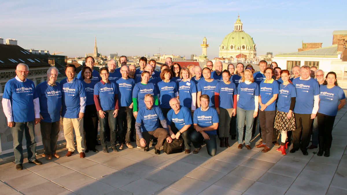
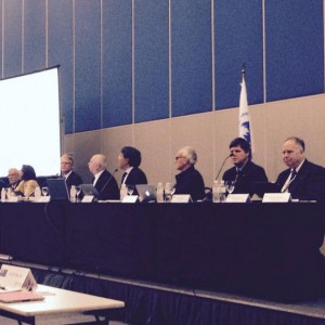
November 8 and 9, 2015 the (co)chairs of ICA’s Commissions and Working Groups met with the members of the Executive Committee (EC) to discuss the future activities of the ICA. The objective of the meeting was to offer the ICA officers a good and fresh start for the 2015–2019 period. A side effect of the meeting was that all of us met new and old friends, and we had a chance to become familiar with each other.

The meeting, hosted by the Past-President at the Technical University of Vienna, was organized in three distinct parts. The first dealt with “What ICA expects from you”, the second part with “What do you expect from ICA”. The third part was linked to the International Map Year (IMY) and the UN sustainability goals.

ica-commission-meeting

ica-vie

What ICA expects from you

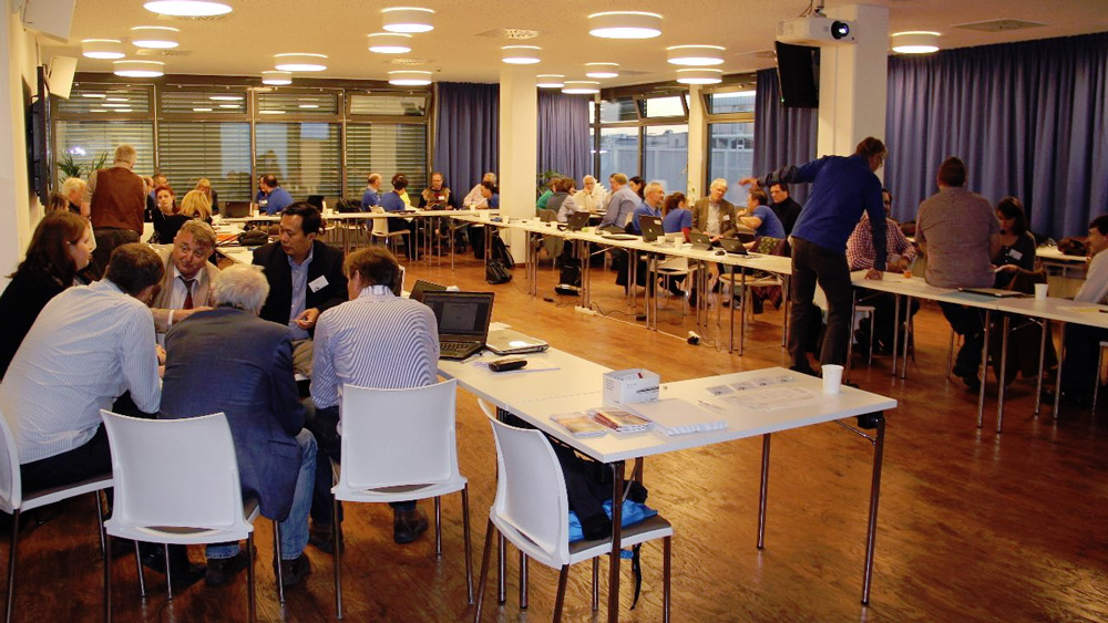
After an introduction round, Laszlo Zentai, our Secretary-General informed us on how ICA Commissions and Working Groups are supposed to operate, based on our statues and by-laws. This included information on how to organize a Commission (Chair/co-chair, website, members etc), how to communicate within ICA (the newsletter, the bi-annual report to the EC), options for publication of results (our International Journal of Cartography, again ICA news and the Springer book series), activities related to our International Cartographic Conferences (reviews, (joint)workshops, business meetings), and financial support. This might seem trivial since all information is available on the website, but it proves that these sessions are useful anyhow.

In an exercise the (co)chairs had to revisit their terms of reference, and decide which of those will be their focus point in the next four years. These so-called flagship projects could be joint commissions efforts. Also they had to think of there planned activities on the short term and for whole 2015-2019 period, to allow us share and combine events. And as you can imagine, they had to indicate how they would think to contribute to the International Map Year.

What do you expect from ICA

This session started with short presentations by different EC members of what we call ICA’s instruments, such as our strategic plan, the ICA directory, publications, the research agenda, our scholarships, and ICA external relations with the Joint Board of GIS and the GeoUnions. The first unites international organizations involved with geospatial information and strives to act as a collective and unified voice at the international level, such as within the UN. The second represents those geo-related organizations that are member of ICSU.

After this flow of information, the (co)chairs where asked to react and express their opinion about our instruments both from a positive and negative perspective. They where also asked to come forward with any issue they would like to see discussed to be able to let ICA better operate.

IMY / Mapping the sustainability goals

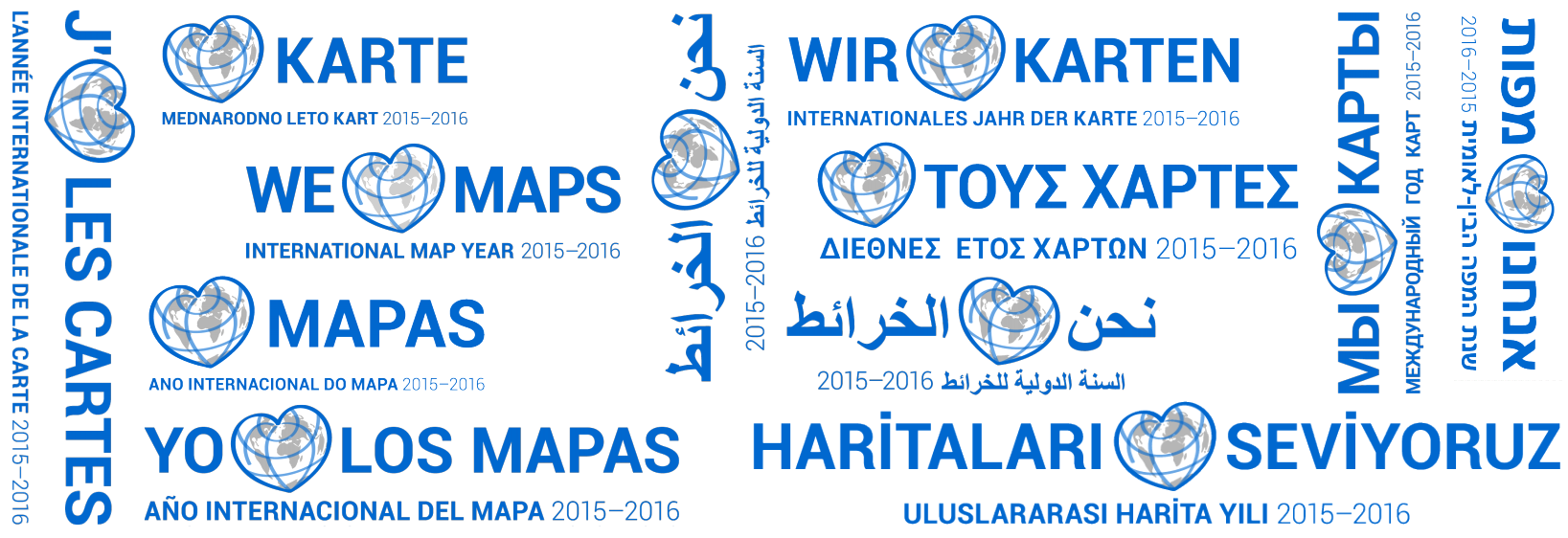
The third part of the workshop dealt with the International Map Year (IMY) and how we as ICA can make an impact by “mapping” the sustainability goals.

ica-vie2

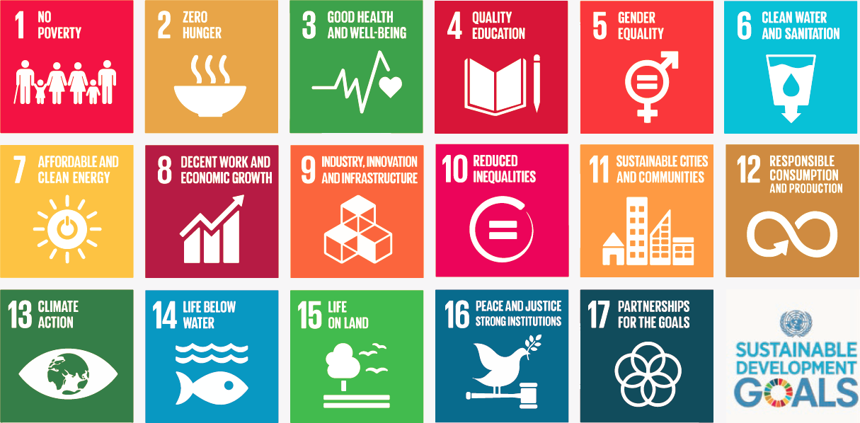
The new UN 17 sustainability goals can be found at sustainabledevelopment.un.org. Each of these goals has a specific objective. For instance Goal 4 on education states: “Ensure inclusive and equitable quality education and promote lifelong learning opportunities for all”. For each goal a number of targets have been set. An example of an educational target is “By 2030, ensure that all girls and boys complete free, equitable and quality primary and secondary education leading to relevant and effective learning outcomes”. To see if those target are met multiple indicator have been defined. Indicators are numbers, for instance “Completion rate (primary, lower secondary, upper secondary)”.

These indicators can be mapped. As individual variable or in combination with each other. During the IMY ICA will organize a cartographic exhibition at the next UNGGIM meeting in New York, August 2016. The plan is to create a set of 17 posters, one for each goal that demonstrates how maps can help to get insight in these goals. The plan is not just to create a single map for each goal. The idea is to offer different cartographic perspectives on these goals via story maps. These perspectives are offered by our Commissions. Each of the 17 goals has been adopted by two Commissions and together these wil map a goal based on their skills set. So for instance the poster that involved the Commission on Visual analytics might show how in an exploratory environment one can combine different indicators to reveal trends, the poster involving the Commission Mountain Cartography could show how the landscape influences the distribution of certain phenomena. The poster co-designed by the Commission on Map Projections might show good and bad examples of global projection.

The final goal of this exercise is to create an atlas of best practices of mapping the sustainability goals. This should be ready by the end of the 2015–2019 period.
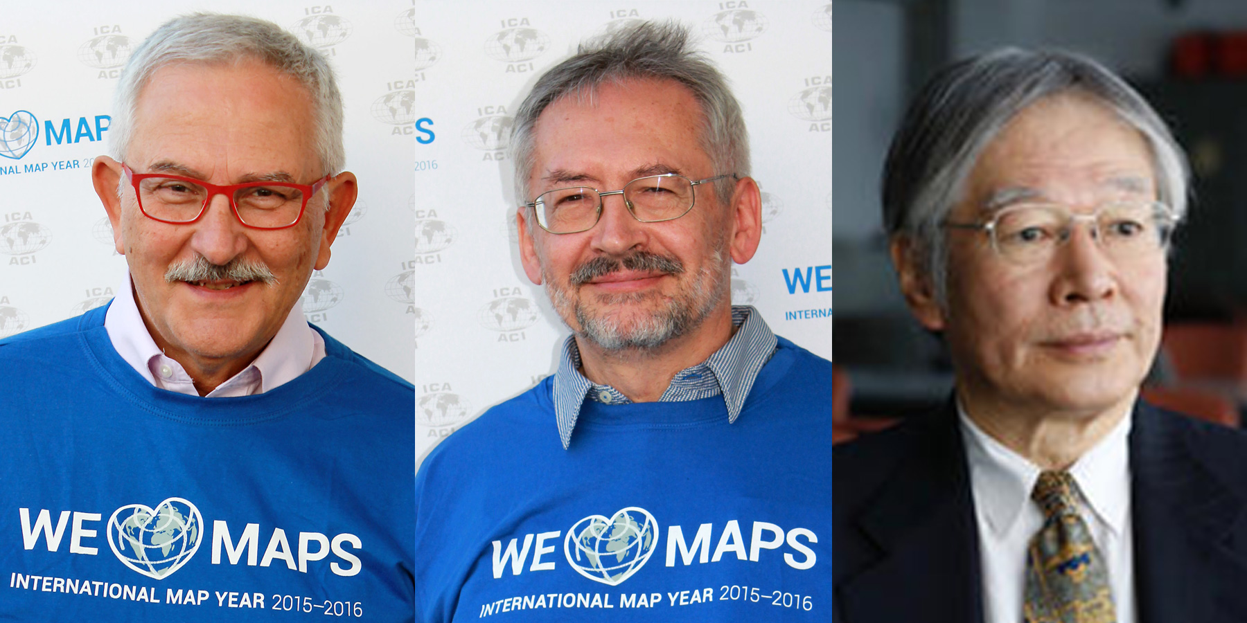
– Menno-Jan Kraak
President of the International Cartographic Association

Joint ICA meeting in Vienna, November 8–9

ica-commission-meeting

All chairs and vice-chairs of the ICA commissions and working groups were invited to join an ICA meeting in Vienna on 8–9 November 2015 to plan and discuss their activities for the term 2015–2019. 46 chairs, vice-chairs and members of the executive committee followed the invitation and spent two intensive workshop days at Technische Universität Wien.

Meeting participants

Commission chairs and vice-chairs

Working Group International Map Year

Executive Committee

Website

More photos of the workshop can be found on the ICA Facebook page.

Welcome to ICC2015 in Rio de Janeiro #icc2015rio

Today, the 27th International Cartographic Conference is opened in Rio de Janeiro, Brazil!

ICC2015 banner

After busy days with nine well-attended pre-conference workshops, the main conference will be opened today. The opening ceremony will also officially open the International Map Year 2015–2016. Dr. Gregory Scott from UN-GGIM will give a plenary keynote on the topic of “Positioning Geospatial Information to Address Global Challenges”.

Later today, also the Technical Exhibition, the International Cartographic Exhibition and the exhibition of the Barbara Petchenik Competition will open. More than 70 oral and poster sessions will follow in the next five days. All abstracts and papers are available on icc2015.org.

Impression from the first part of the general assembly. Photo by @mappingcenter

First part of the general assembly. Photo by @mappingcenter

ICC2015 also hosts the 16th General Assembly of the ICA. All material and reports for the General Assembly can be found at icaci.org/general-assembly-2015. The first part took place yesterday, the second part – including the voting of the new ICA executive committee, the ICA commissions for the term 2015–2019 and the selection of the place for ICC2019 – will take place on Friday. All results will be published on the ICA website soon after the event.

To share your experiences and to stay up-to-date with everything happening at the conference, please use hashtag #icc2015rio.

Enjoy the conference!

Category: General News

Review of ICA activities in the FIG Working Week, Bulgaria

FIG Working Week 2015 was held with 1.000 participants from 68 countries from 17–21 May 2015 in Sofia. ICA was very visible at the event. President Prof. Georg Garter gave a keynote speech in the plenary session entitled “Modern Cartography”. The conference also included an ICA session and a Cartographic Exhibition of Wall Maps – held in celebration of International Map Year.

Georg Gartner (ICA president), Temenoujka Bandrova (president of the Bulgarian Cartographic Association)

Georg Gartner and Temenoujka Bandrova

In the ICA session, ICA President Prof. Georg Gartner, Past-President and Commission Chair Prof. Milan Konecny, Commission Chair Prof. Philippe de Mayer, Prof. Bashkim Irdisi and members of the Bulgarian Cartographic Association (BCA) presented their last cartographic achievements. All papers and presentations can be found on fig.net.

The Cartographic Exhibition of Wall Maps at FIG Working Week

The Cartographic Exhibition of Wall Maps at FIG Working Week

One of the most popular places in the National Palace of Culture during FIG Week was the Cartographic Exhibition of Wall Maps. Many participants were delighted to see such an exhibition and congratulated ICA and the Bulgarian Cartographic Association for the organization.

IMY-bulgaria_exhibition2
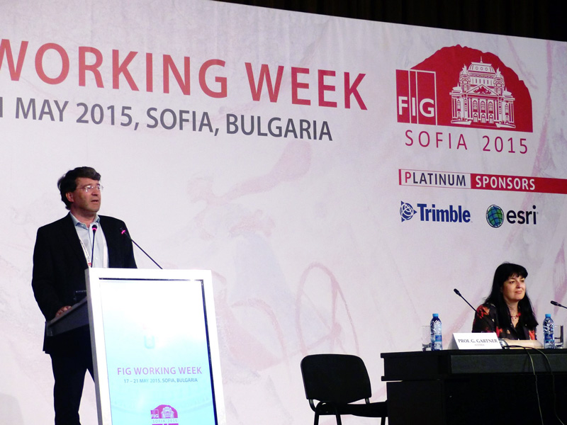
Four countries (Croatia, Macedonia, Kosovo and Bulgaria) participated and were represented by the following companies and organizations:

The exhibitors received certificates for the participation and a special IMY calendar produced by the Bulgarian Cartographic Association and the Military Geographic Service.

More photos and information are available on the Facebook page of the Bulgarian Cartographic Association.

– Prof. Temenoujka Bandrova
President, Bulgarian Cartographic Association

Category: Member News

President’s Blog: “The World of Maps” now available in Spanish

elmundodelosmapasAlthough the International Map Year 2015/16 will be launched officially at the ICC 2015 in Rio de Janeiro later this year, activities are planned and shaped already in several countries.

That is why it is good to announce, that a Spanish version of the accompanying book “The World of Maps” has been made available on the website mapyear.org. The translation of the book was done under the supervision of Pilar Sanchez-Ortiz from ICA’s Spanish national member organisation SECFT. With this the most useful book as source for understanding and disseminating the role of maps is available to all those being interested in cartography in the Spanish speaking world.

Muy bien!
– Georg Gartner
President of the International Cartographic Association

President’s Blog: International Map Year 2015–2016

Logo of the International Map Year 2015/2016

It is my sincere pleasure to inform you that at the fourth session of the United Nations Committee of Experts on Global Geospatial Information Management at the UN Headquarters in New York, 6–8 August 2014, the ICA Initiative on an International Map Year 2015–2016 was positively discussed.

The resolution states:

The committee endorses the International Map Year 2015–2016 as proposed by the International Cartographic Association as a valuable means to promote the importance of maps and geoinformation.

With this we have reached a most prominent framework for the planned acitivities and I invite all members of the ICA family to consider their active participation. To stay up-to-date with all activities around the International Map Year, please visit mapyear.org.

Georg Gartner
– President of the International Cartographic Association


Joint commission meeting children/planets

cccmeeting2014
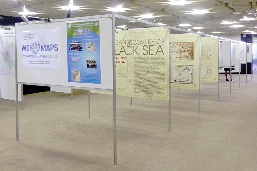
A day before beginning the 9th International Workshop on Digital Approaches to Cartographic Heritage, the Commission on Cartography and Children will have a meeting together with the Commission on Planetary Cartography. There will be a special presentation by former ICA President Bengt Rystedt representing the Working Group on the International Map Year.

All of you are invited to participate!

For more information, please see the Preliminary Programme.

rawboned-refined