


Dear ICA Colleagues,
![]() At every biennial International Cartographic Conferences an International Map Exhibition is organized by ICA, where map products originating from ICA member countries and affiliate members are exhibited. An international jury selects the best entries in various categories.
At every biennial International Cartographic Conferences an International Map Exhibition is organized by ICA, where map products originating from ICA member countries and affiliate members are exhibited. An international jury selects the best entries in various categories.
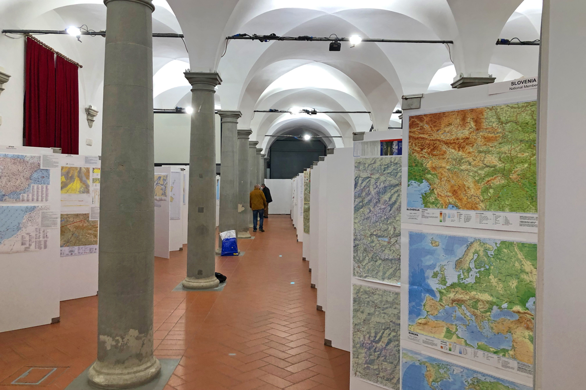
From 13–17 December 2021 a total of 410 maps and related objects from 32 ICA members were displayed at the Italian Geographic Military Institute in Florence. As usual, the exhibition was open to the public and well visited during all day. A virtual exhibition can still be viewed at geografia-applicata.it.

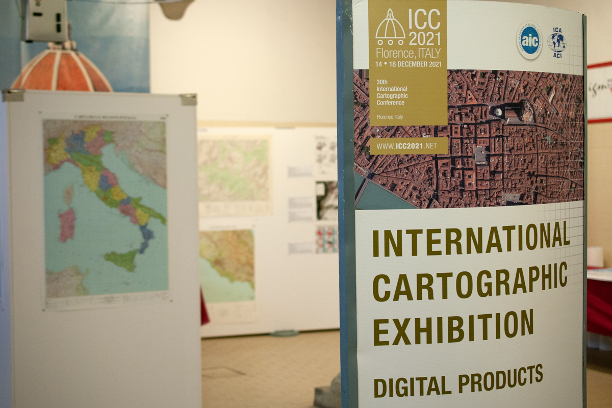
An international jury selected 18 awards in six categories, reaching from Maps on Panels, Charts on Panels, Atlases, Digital Products and Educational Products, to Other Products. In addition, a popular vote was conducted online, which resulted in 8 additional awards for six categories. All map awards were presented by the jury at the Closing Ceremony on 18 December in the beautiful Sala Pegaso in Palazzo Guadagni Strozzi Sacrati.
Screenshots of the winning entries are presented below:
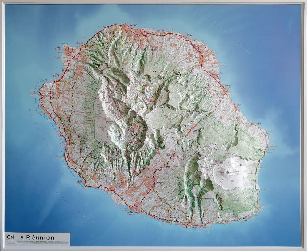
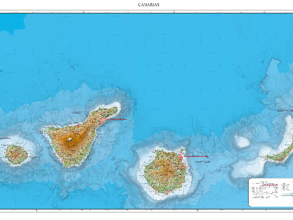
Maps on panels
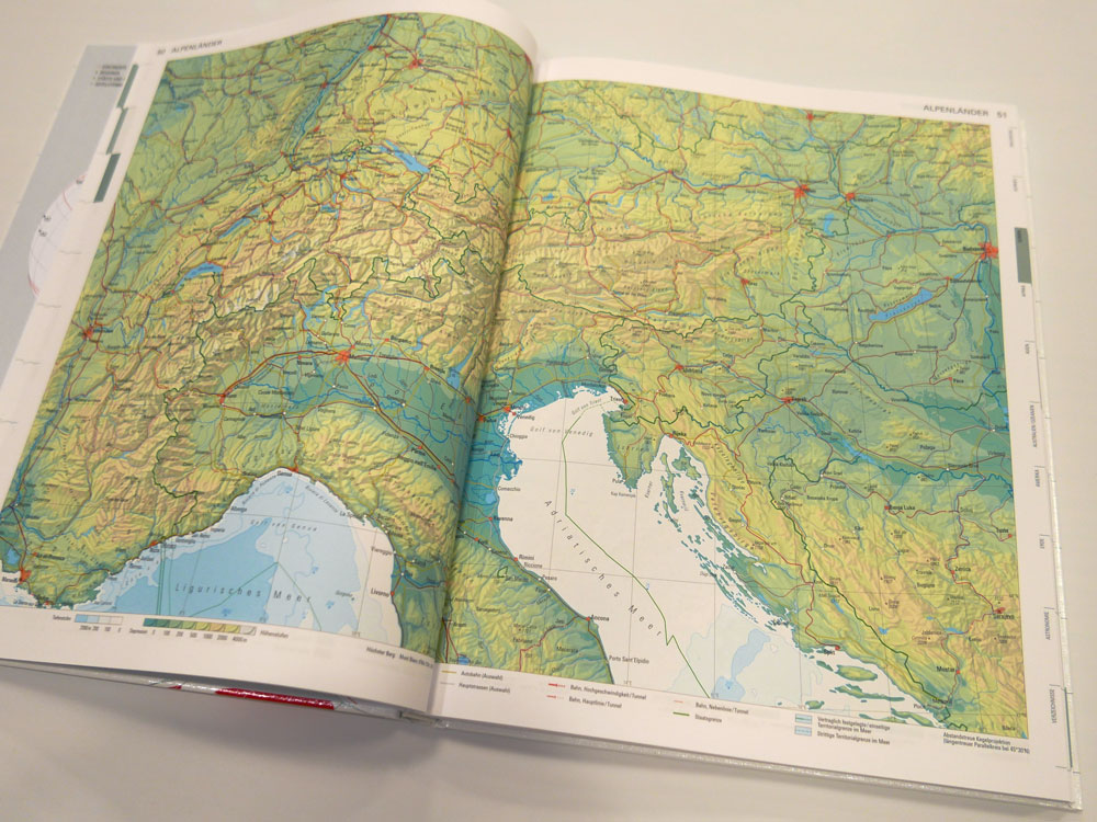
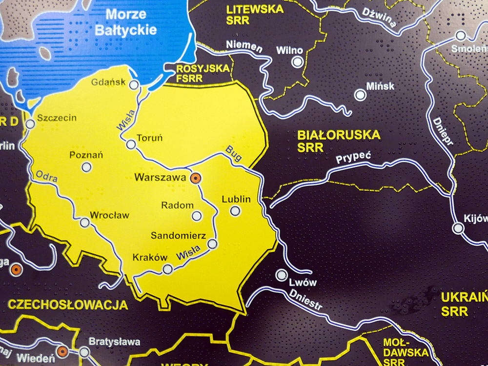
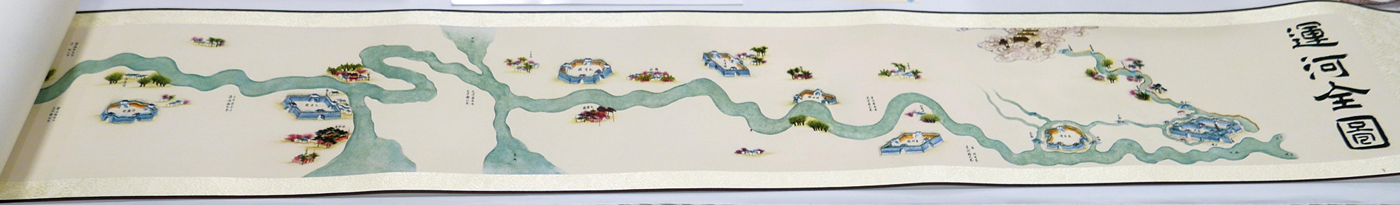
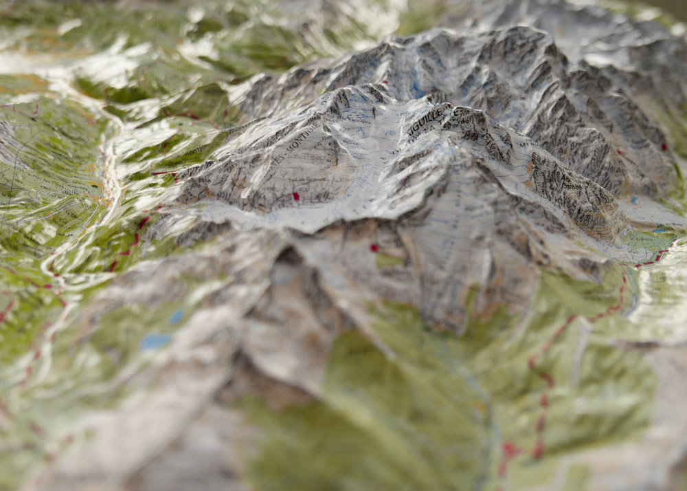
1st place: La Réunion (France)
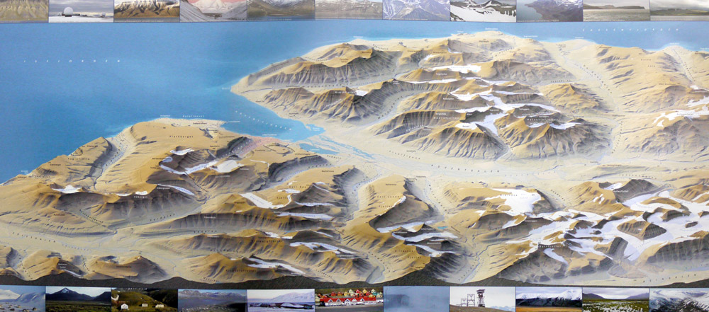
2nd place: Regional Map of the Canary Islands (Spain)
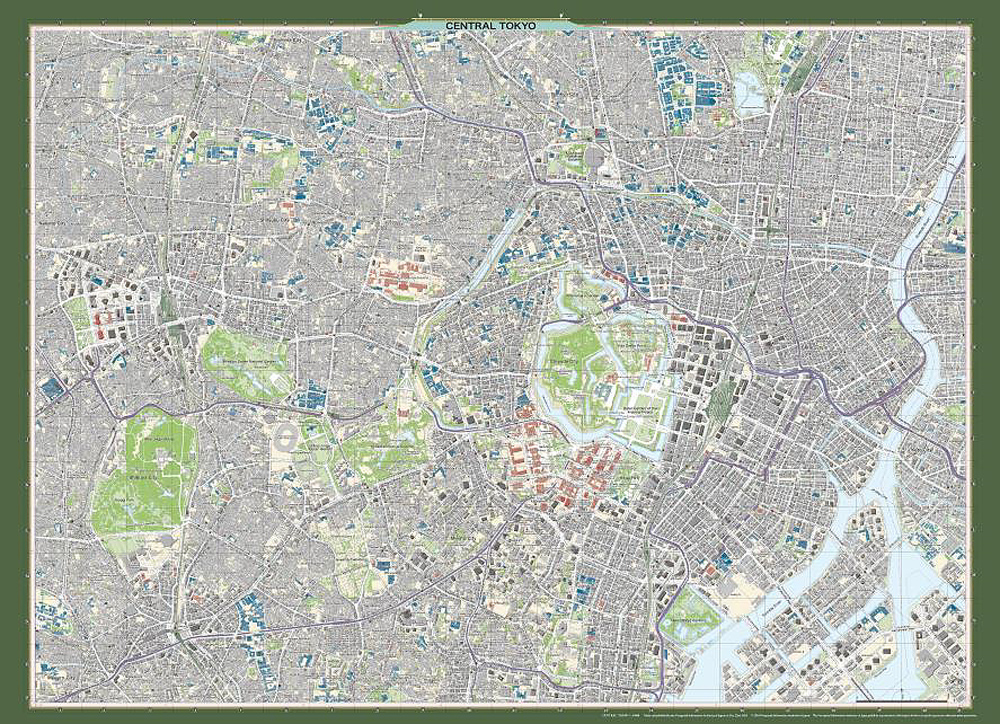
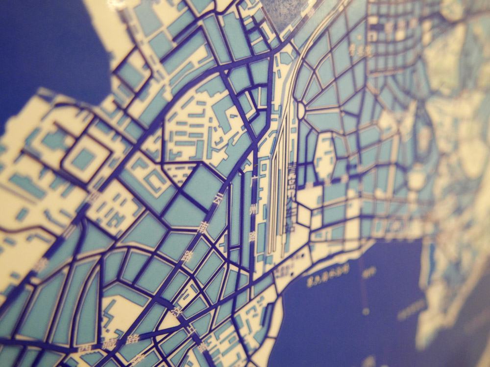
3rd place: Central Tokyo (Japan)
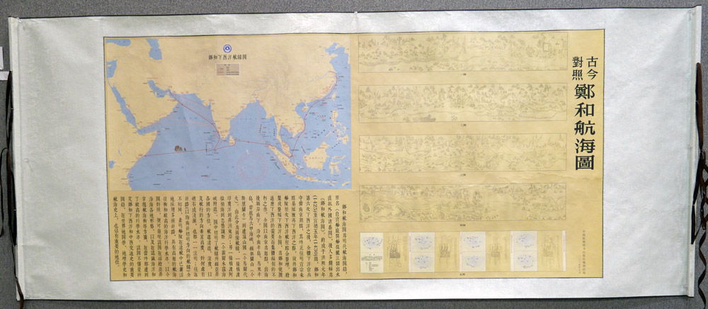
10,000 Topographic Map «Central Tokyo» in commemoration of the enthronement of His Majesty the Emperor
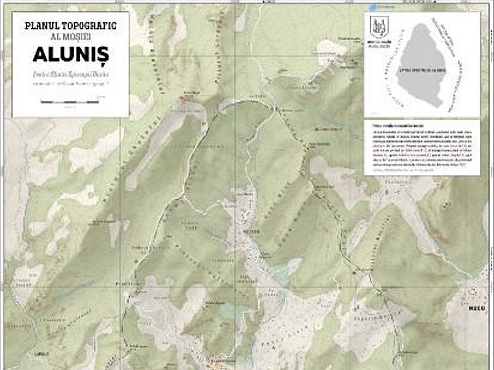
Popular vote: The Topographic Plan of Aluniș Estate – property of the Bazau Diocese (Romania)
Atlases
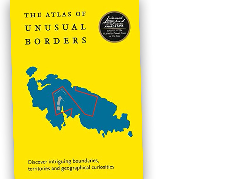
1st place: The Atlas of Unusual Borders (United Kingdom)
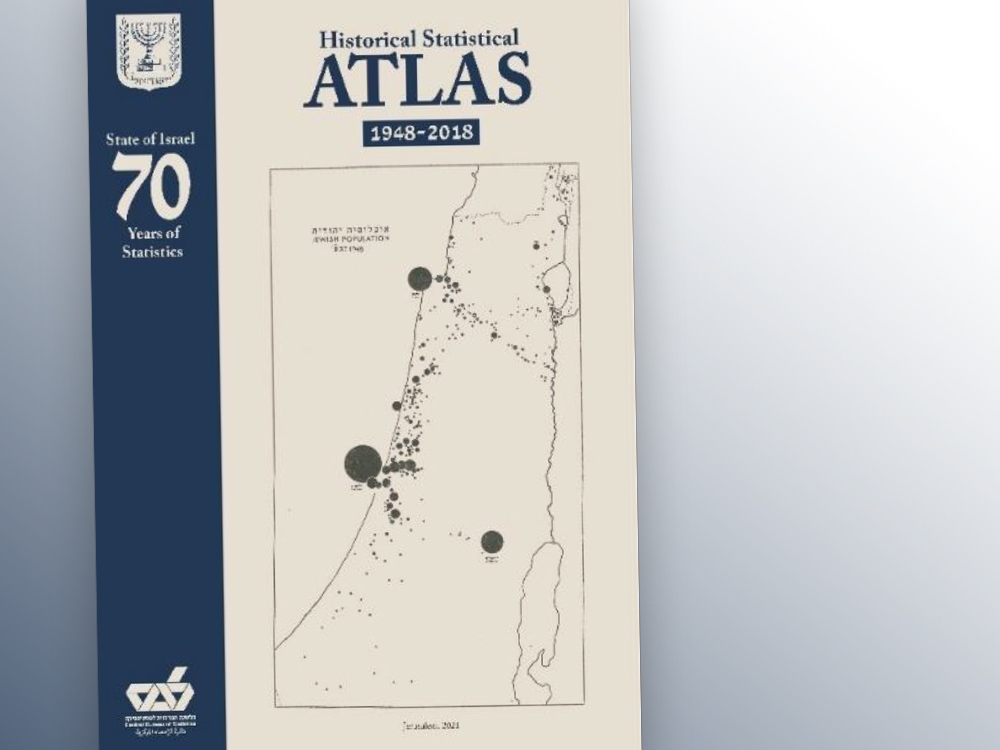
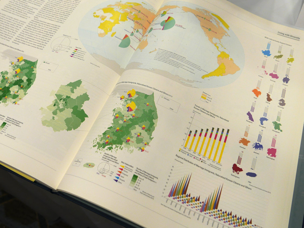
2nd place: State of Israel – 70 years of Statistics, Historical Statistical Atlas 1948-2018 (Israel)
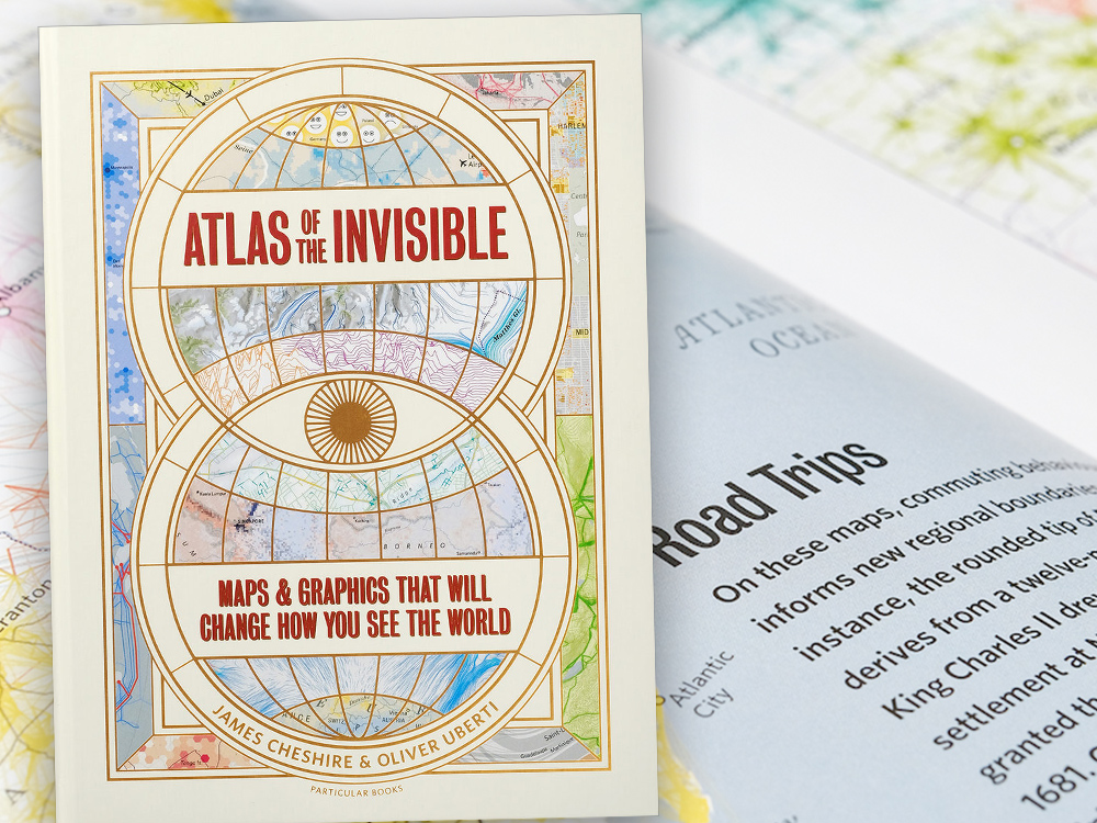
3rd place: Atlas of the Invisible (United Kingdom)
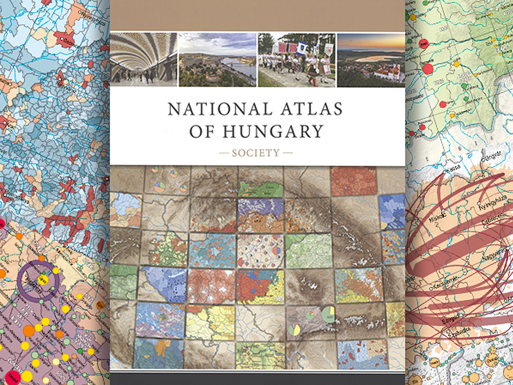
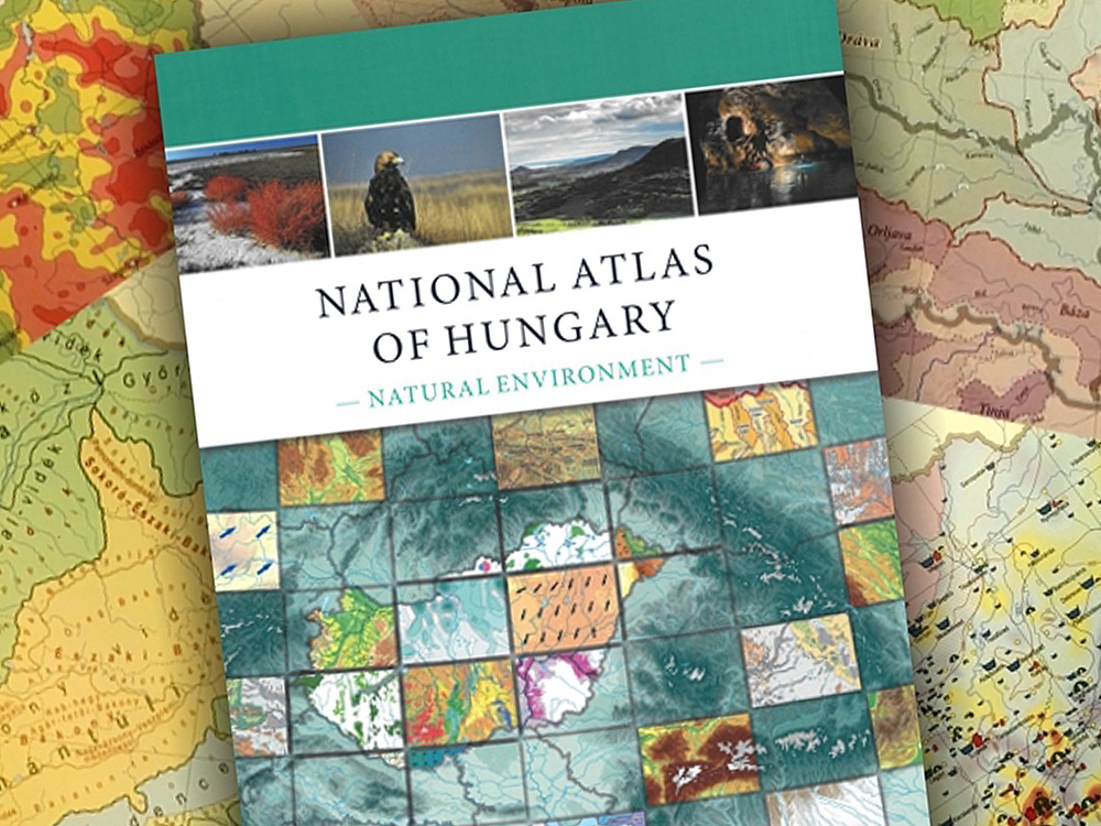
Popular vote: National Atlas of Hungary – Society (Hungary)
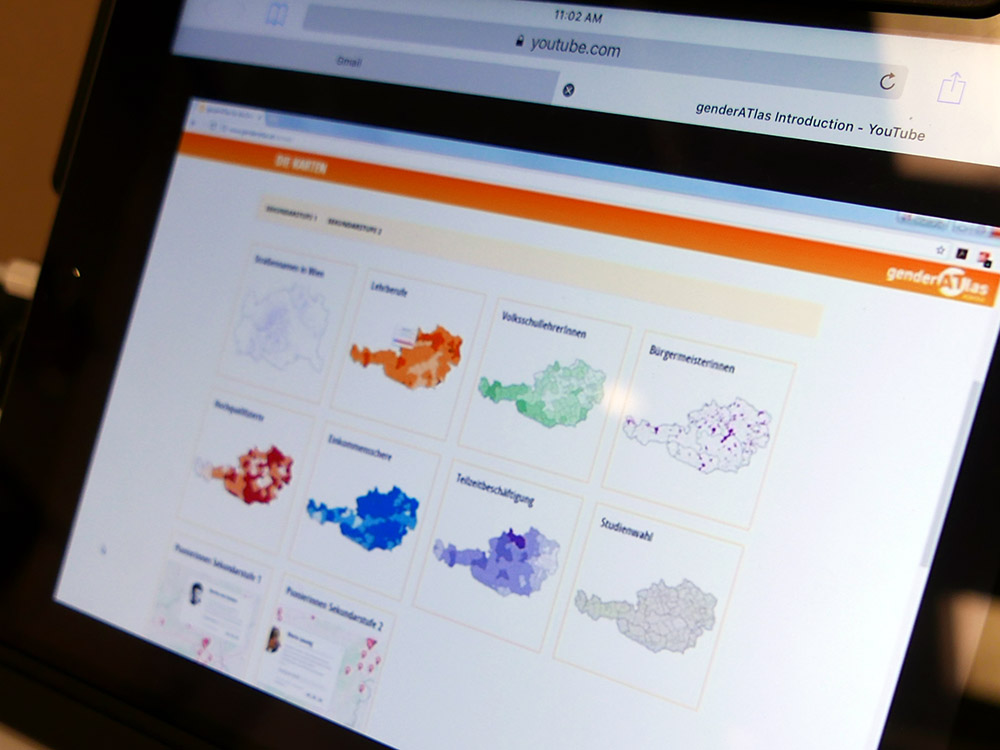
Digital products
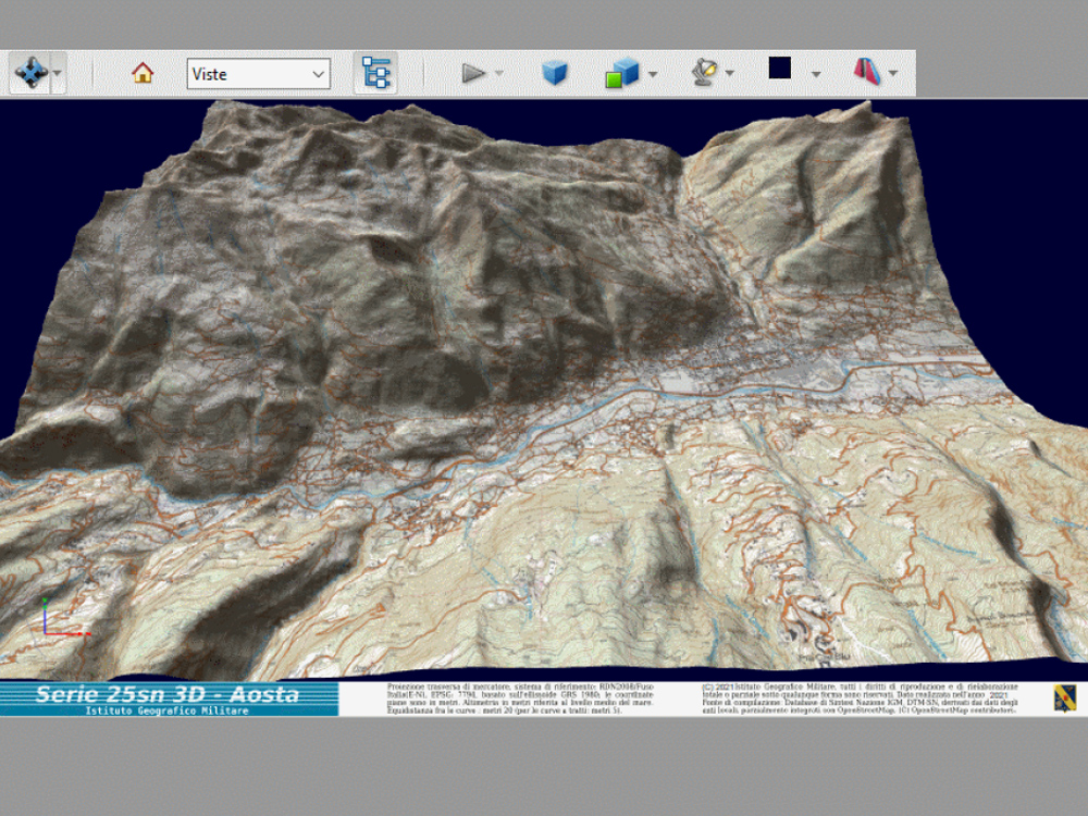
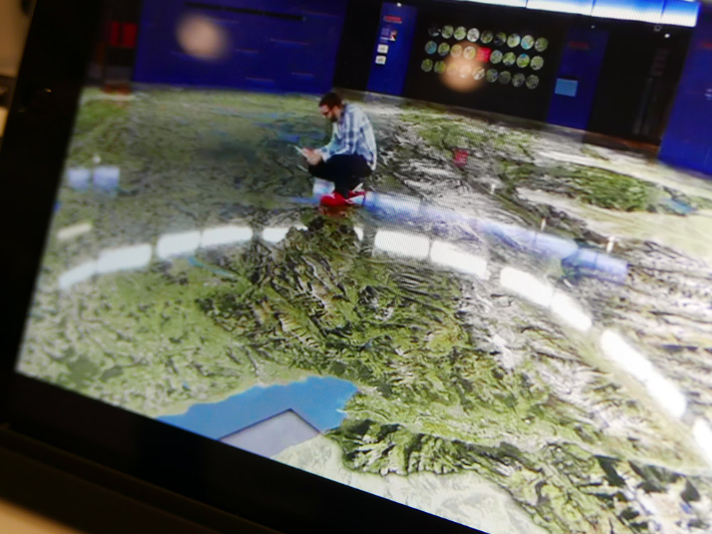
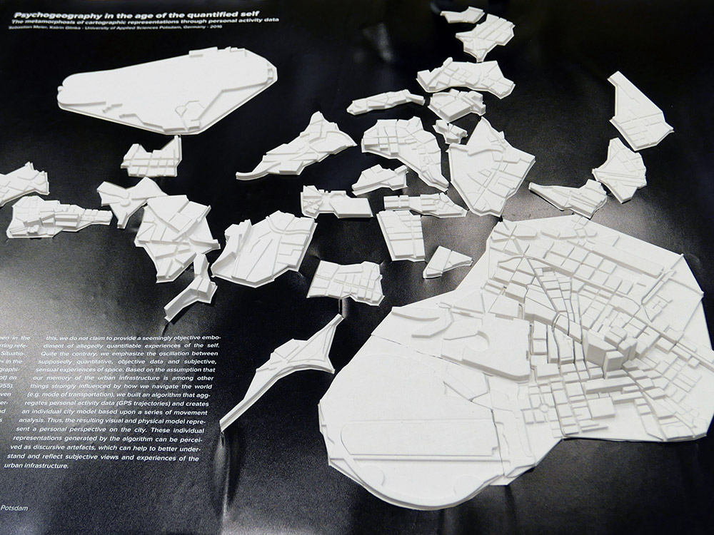
1st place: 3D Map Aosta (Italy)
2nd place: The migrations of the American South, 1790-2010 (United States)

3rd place: Edugeo – Module Minetest/Kidscode for education on natural risk (France)

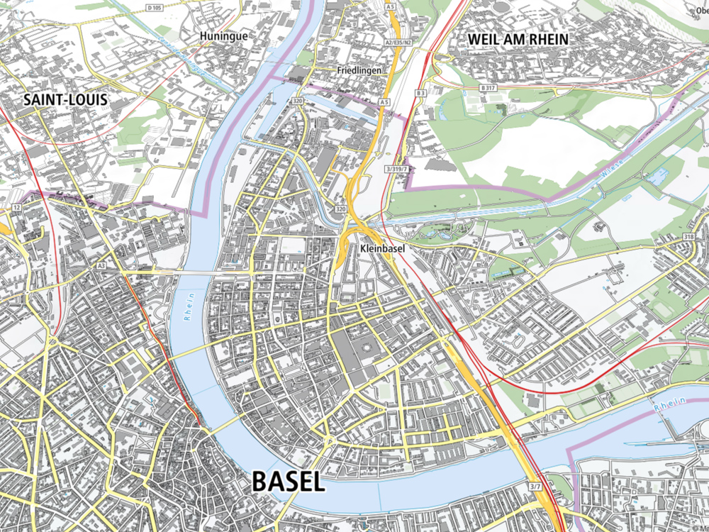
Popular vote: Swisstopo Vector Tiles (Switzerland)
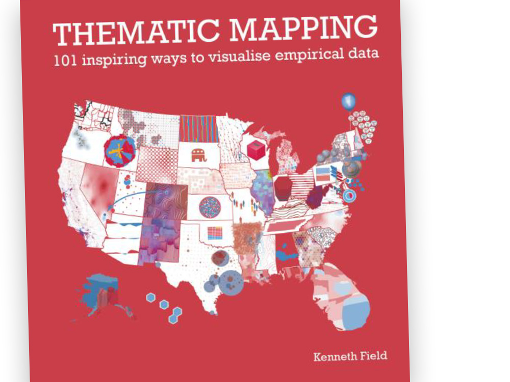
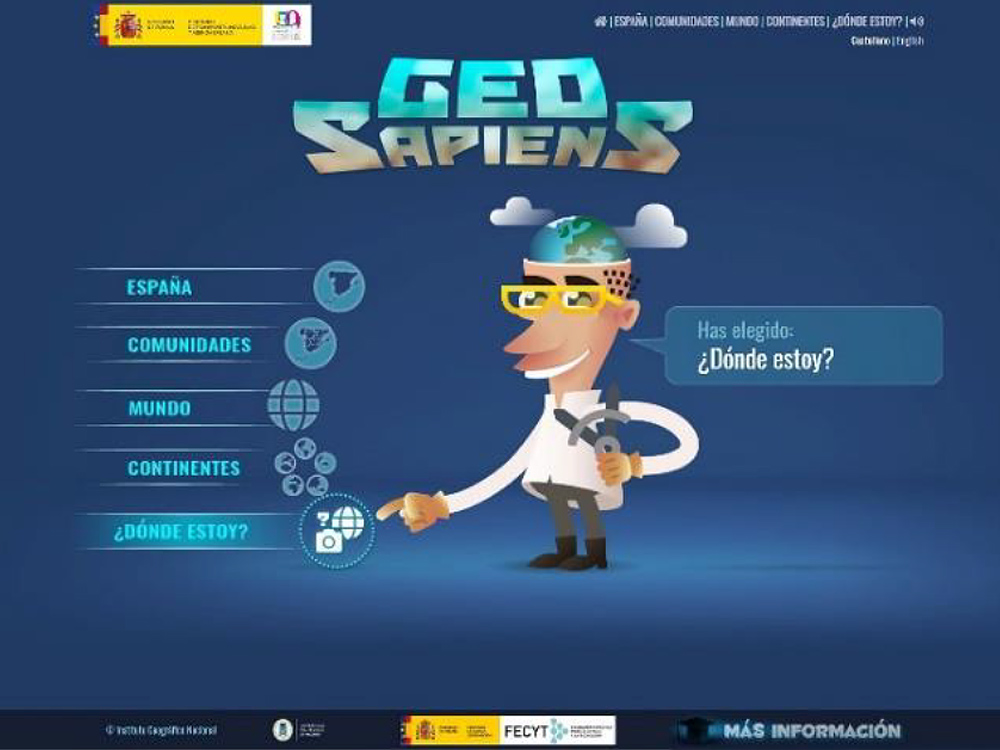
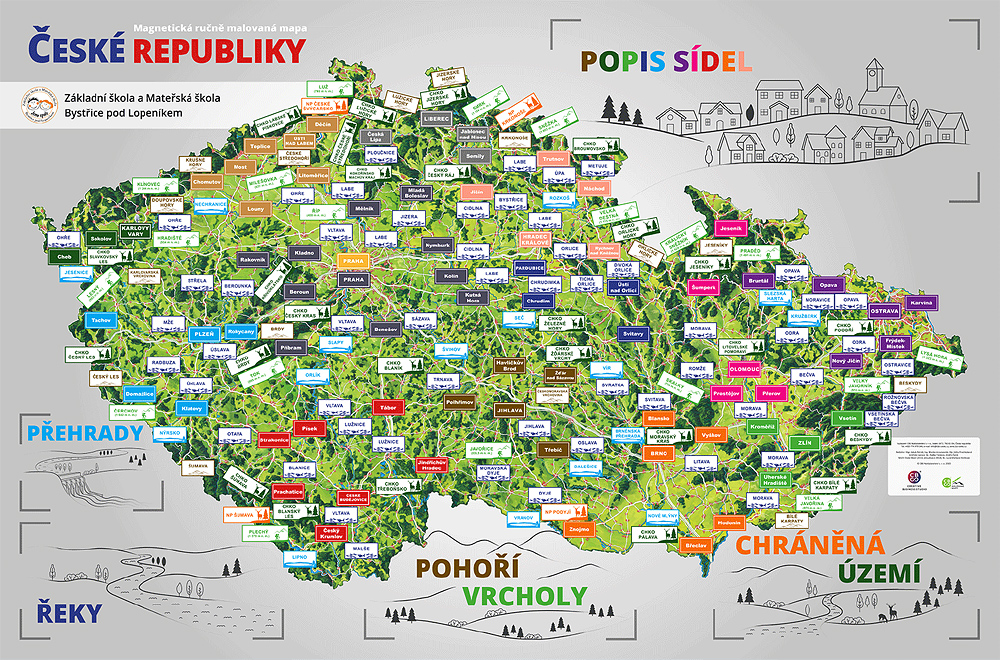
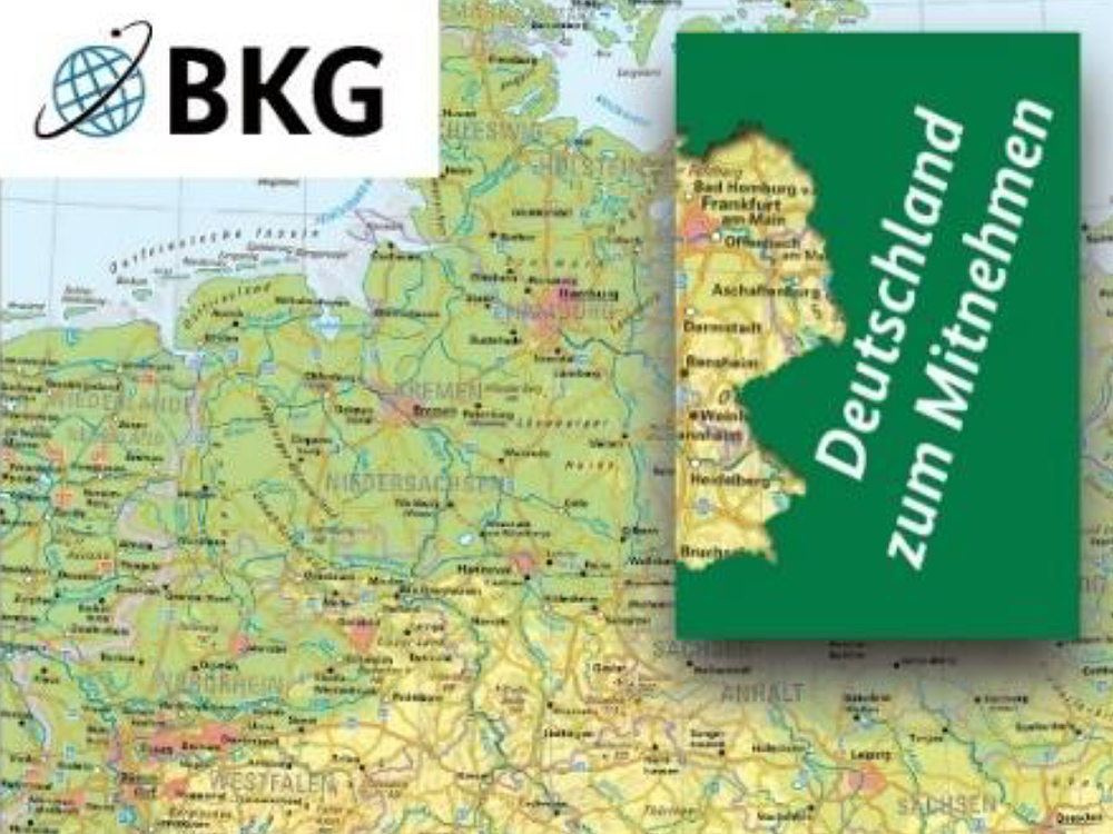
Educational cartographic products
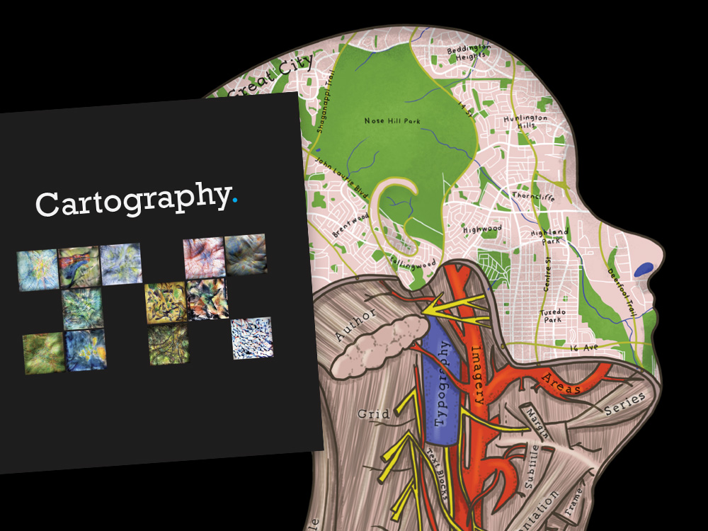
1st place: Thematic Mapping: 101 inspiring ways to visualize empirical data (United States)
2nd place: Geoexplorer (Spain)
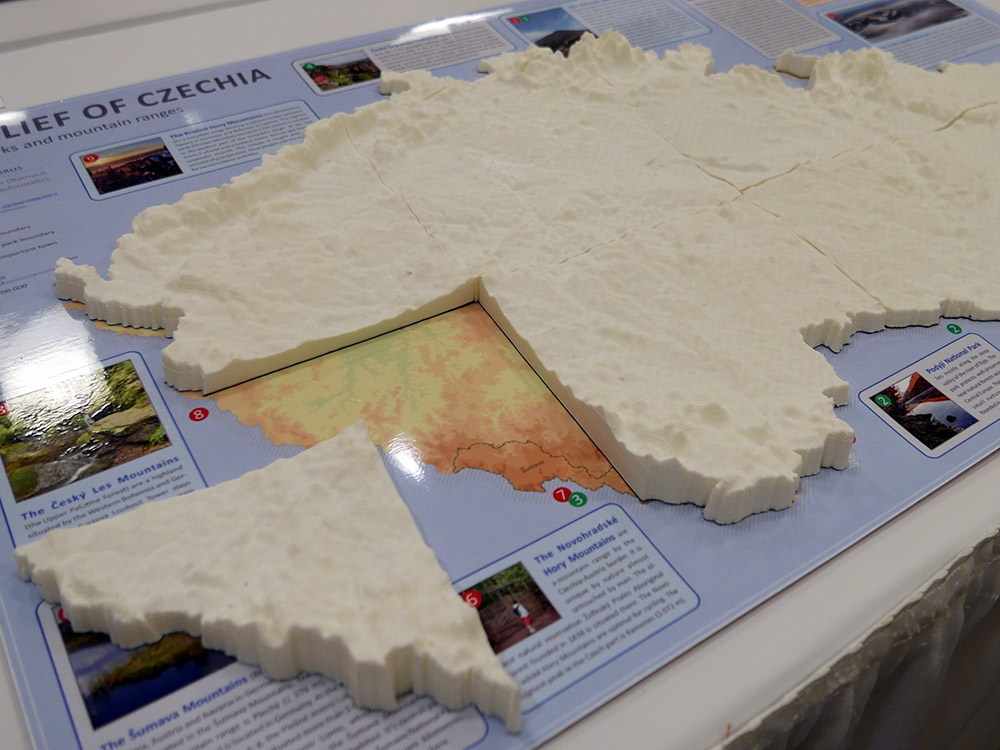
3rd place: Magnetic Hand-painted Map of the Czech Republic (Czech Republic)
Popular vote: Mini-map of the World 1:100 Mio. (Germany)
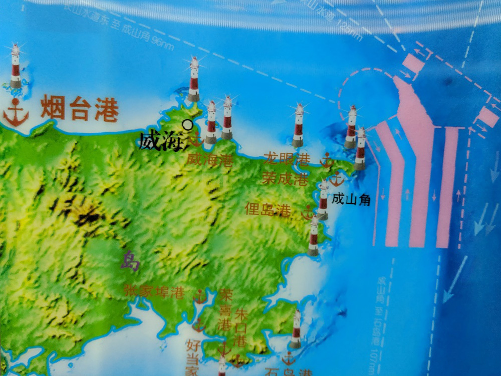
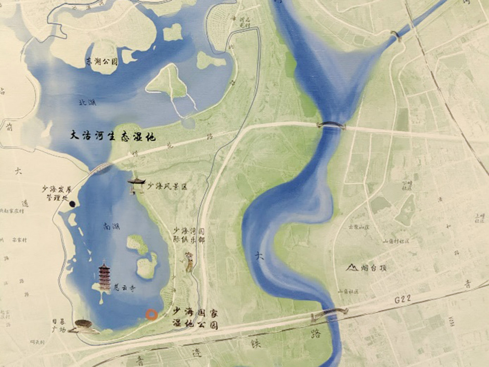
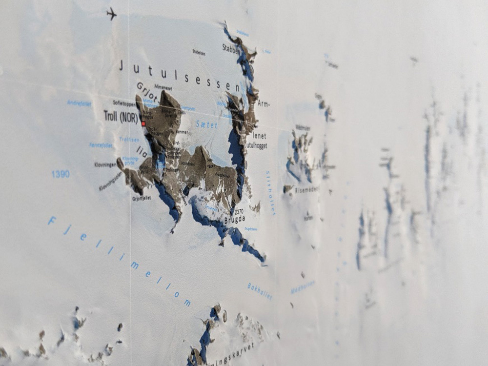
Charts on panels
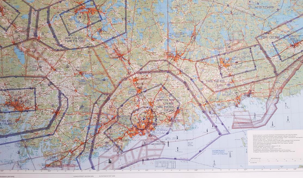
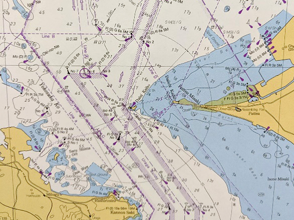
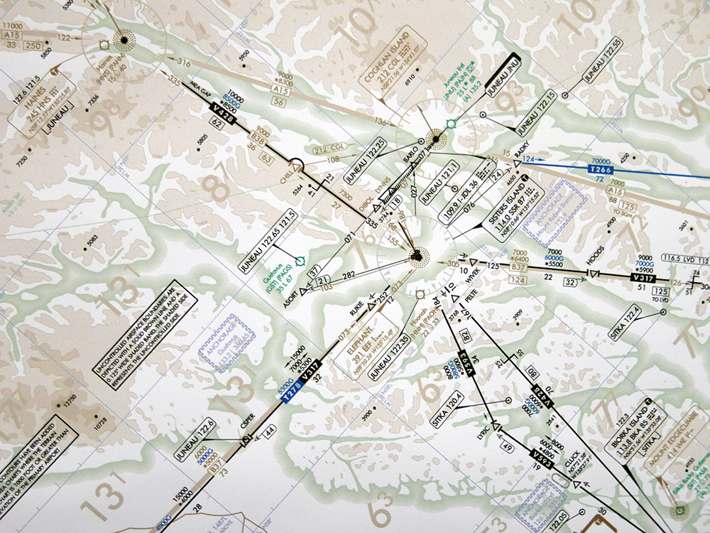
1st place: Aeronautical chart (Finland)
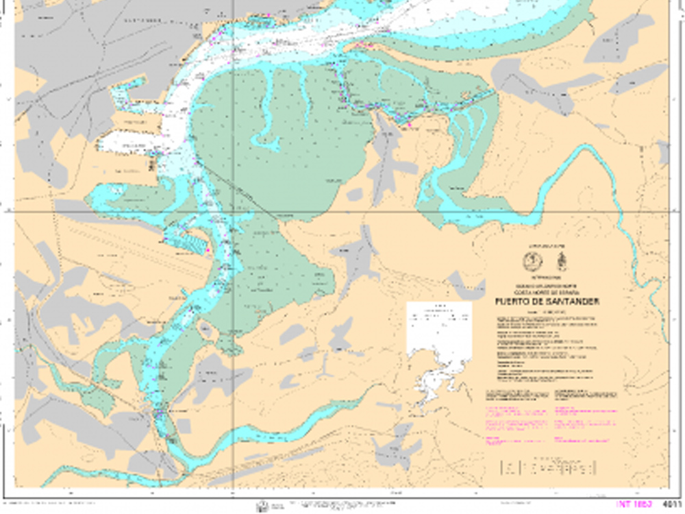
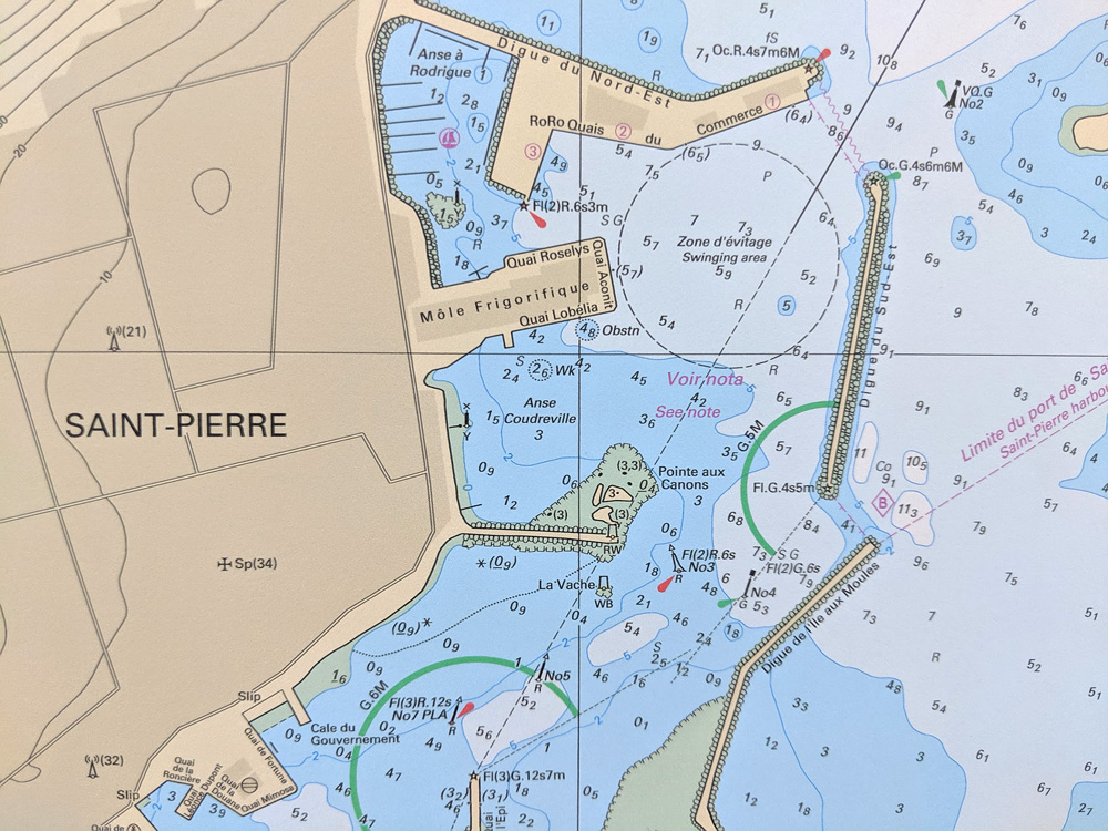
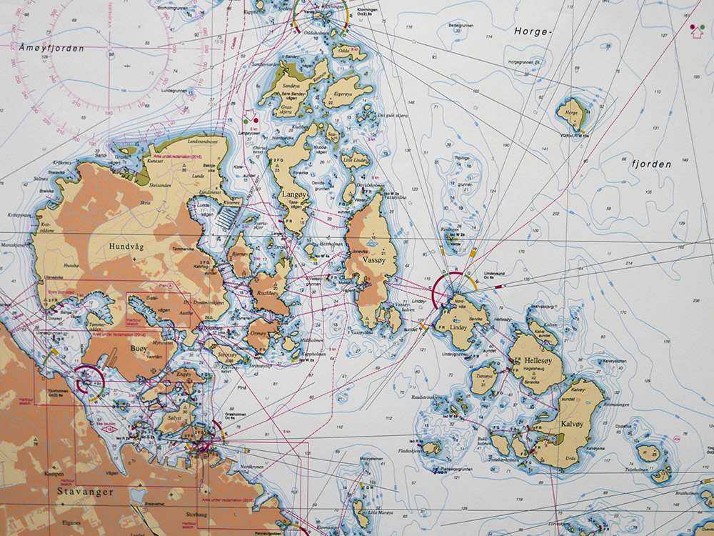
2nd place: Puerto de Santander 4011 INT 1852 (Spain)
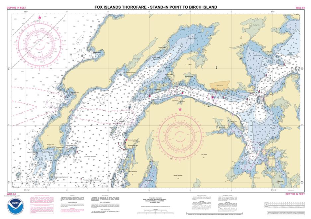
3rd place: Fox Islands Thorofare – Stand-in point to Birch Island (United States)
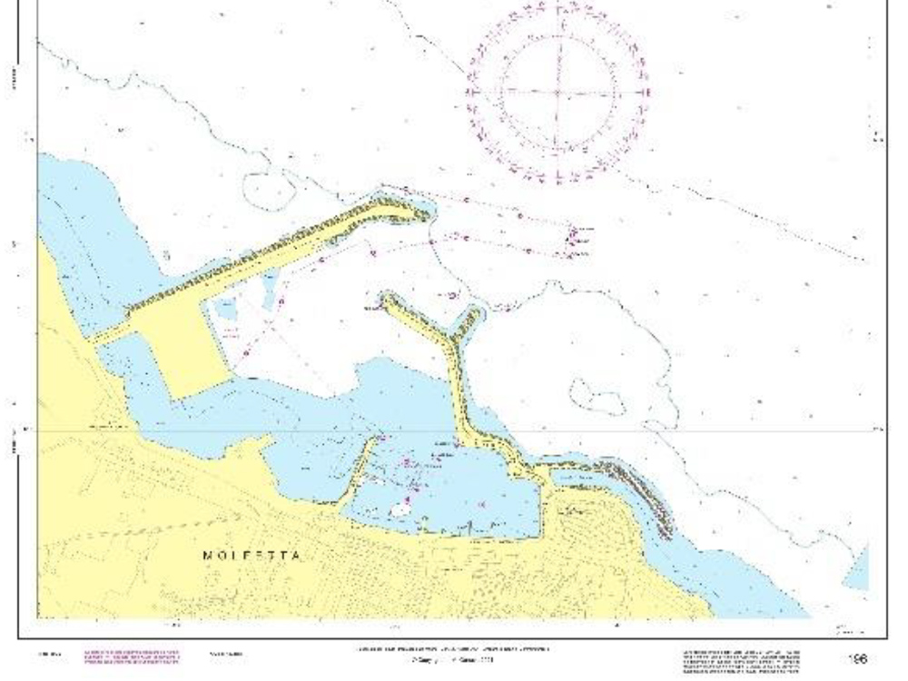
Popular votes:
Augusta Harbour (Italy)
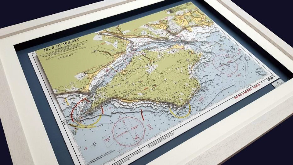
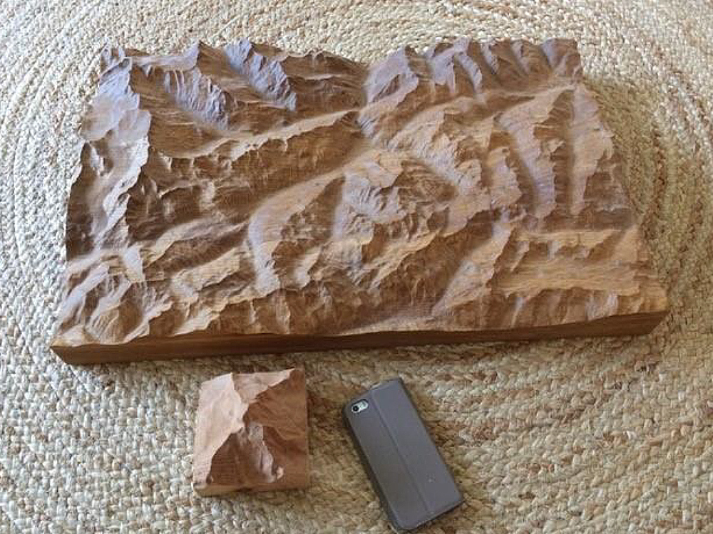
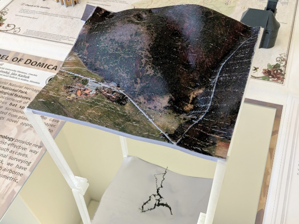
Hand cut depth model of the Isle of Wight (United Kingdom)
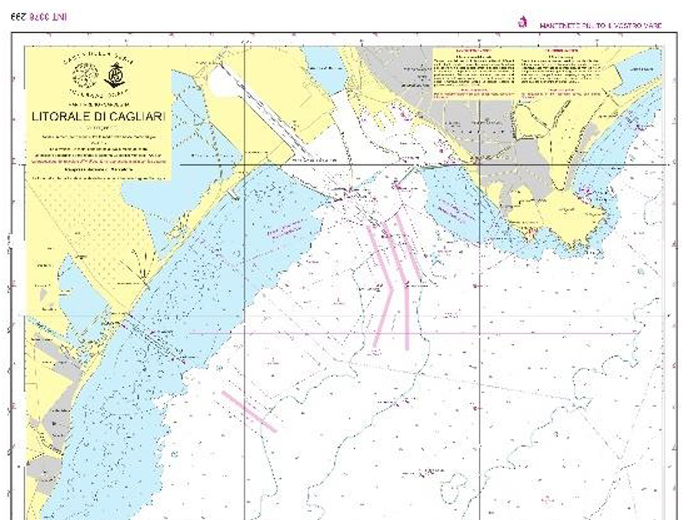
Approach to Cagliari (Italy)
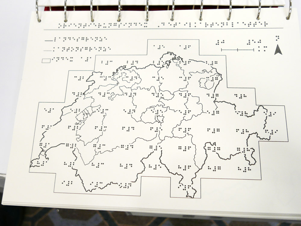
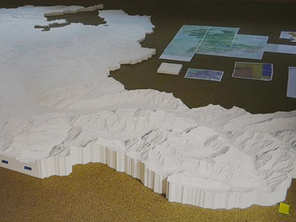
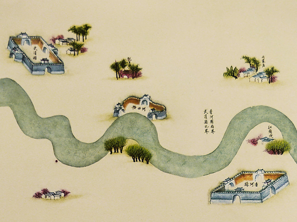
Other cartographic products
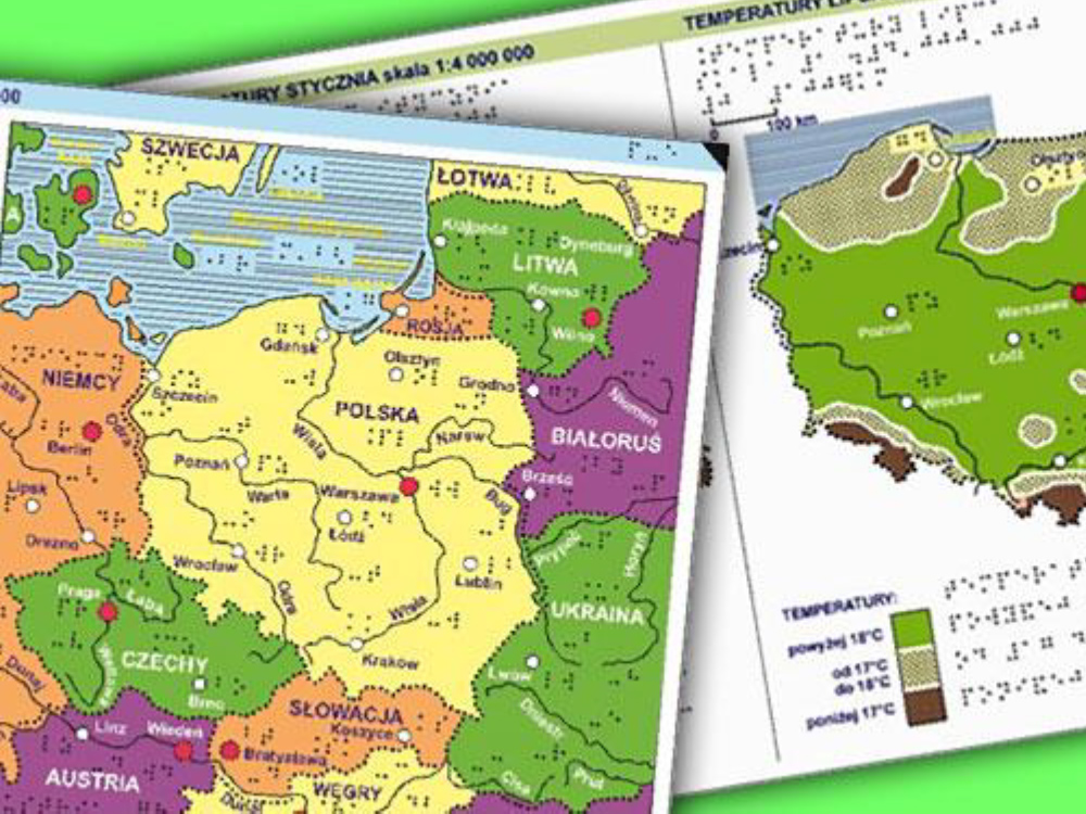
1st place: Geographical atlas of Belarus for the blind and visually impaired (Poland)
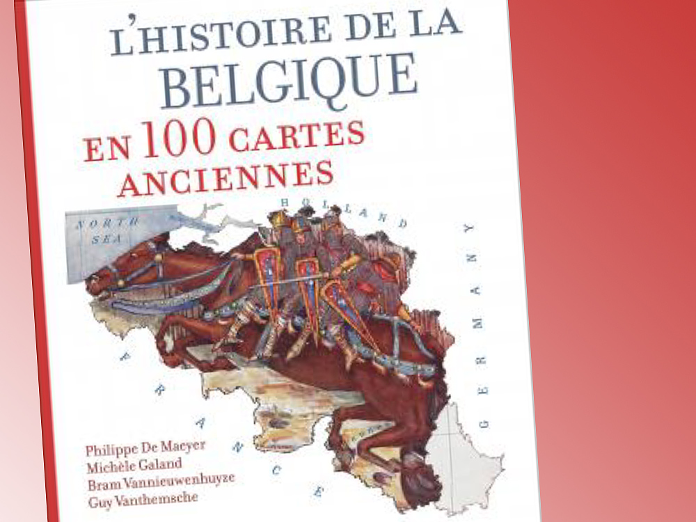
2nd place: L’Histoire de la Belgique en 100 cartes anciennes (Belgium)
3rd place: The vividness of cartography – Andermatt and Matterhorn (Switzerland)
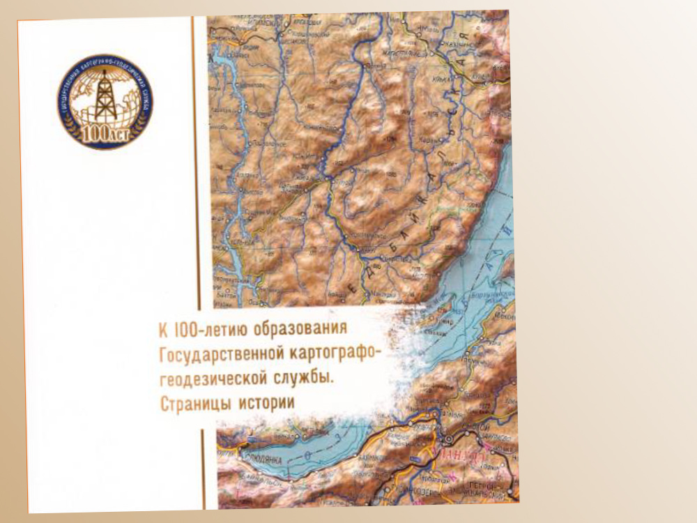
Popular vote: Booklet «To the 100th Anniversary of the State Cartographic and Geodetic Service. History pages» (Russia)
The ICA warmly congratulates all the winners and thanks them for submitting so many exhibits in these difficult times!
– Thomas Schulz
Secretary General & Treasurer ICA


")
")
")
")
")
")
")
")
")
")
")
")
")
")
")
")
")