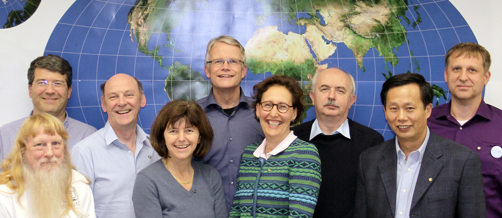
Dear collegue and friend of ICA,
The year 2013 was in many ways a most successful year for cartography and the International Cartographic Association.
We are witnessing an enormous popularity of maps. Today maps can be created and used by anyone with just modest computing skills from virtually any location on Earth and for almost any purpose. Cartographic data may be digitally and wirelessly delivered in finalized form to the device in the hands of the users or they may derive the requested visualization from downloaded data in situ. Real-time data handling and visualization are other significant developments as well as location-based services and mobile cartography. We see a significant interest of big companies to participate in these developments as well as an ever growing number of map users.
We are witnessing growing awareness for the relevance of communicating spatial data efficiently through maps. Maps and cartography play a key role for our society, economy and decision making processes and this becomes more and more understood by governments, authorities, companies and the society, thus driving developments such as Spatial Data Infrastructures and Service-oriented Cartography. It was interesting to see, that the United Nations Initiative on Global Geospatial Information Management (UN-GGIM) is confirming this statement exactly, because maps are most efficient in enabling human users to understand complex situations. Maps can be understood as tools to order information by their spatial context. Maps can be seen as the perfect interface between a human user and all those big data and thus enable human users to answer location-related questions, to support spatial behavior, to enable spatial problem solving or simply to be able to become aware of space.
Cartography is facing fast, challenging and demanding developments. But on the other hand it’s highly rewarding to contribute to cartographic research, developments, applications or products. Such contributions have been done under the umbrella of the many, many activities of the International Cartographic Association in 2013, with the International Cartographic Conference in Dresden as highlight!
Therefore I would like to use this opportunity to thank all of the many commission chairs, commission members, committee members, participants at ICA events, correspondents, cartographers and GIScientists or simply friends of ICA which have contributed to the further development of our most attractive, modern and relevant discipline!
With this I would like to express my sincere season’s greetings and wish all of us a most successful, interesting “cartographic” year 2014!
Georg Gartner
President of the International Cartographic Association


