Welcome to the International Cartographic Association
Welcome to the website of the International Cartographic AssociationGet to know the new ICA Executive Committee for the term 2023-2027Get to know the ICA Commissions for the term 2023-2027
Welcome to the website of the International Cartographic Association
Get to know the new ICA Executive Committee for the term 2023-2027
Get to know the ICA Commissions for the term 2023-2027

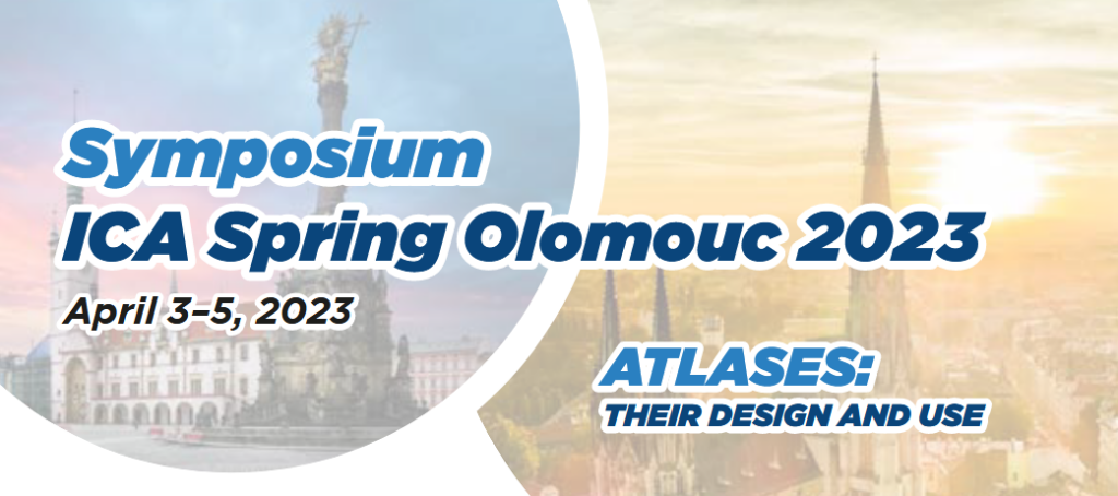
Invitation to the Symposium ICA Spring Olomouc 2023

Objectives of the symposium

  • to explore current issues and themes in the theory and practice of three ICA commissions – atlases, map design, and user studies,
  • to exchange professional experiences and discuss problems arising from merging approaches of the commissions‘ domains,
  • to expose cartographers to current developments in atlases, their design and use.

ICA commissions

Venue

Palacký University Olomouc, Dept. of Geoinformatics (Vit Vozenilek)

Program

  • cartographic notions (3–5min calls for assistance in research,
    questions to be answered, info about the latest releases, etc.)
  • regular conference contributions (15min)
  • open discussion (after each session)
  • social program
    • Czech pub experience with cartoQuiz
    • short organ concert
  • atlases exhibition

Registration

  • includes access to sessions, material, coffee breaks, lunches, social program
  • open from November 1st, 2022
  • deadline for submission: January 31st, 2023
  • fee – 80 Euro


Please find more information at the symposium website: icaspring2023.upol.cz

Invitation to the ICA Symposium on Early Warning and Crisis Management in the Big Data Era

The ICA Symposium on Early Warning and Disaster Risk Management for Urban Areas in Big Data Era is being reconvened following the success of the previous meetings. This series of symposiums aims to bring together leading academic scientists, researchers and domain experts to share their research results on all aspects of Early Warning (EW) and Crises Management (CM). Recent major disasters such as earthquakes, floods, hurricanes and landslides have resulted in huge losses in terms of human life and property destruction in urban areas. Therefore, policies, mechanisms and solutions to handle the increasing risk of disasters is urgently needed. Organizers would like to provide an interdisciplinary platform for researchers, practitioners and educators to discuss the most recent innovations, trends, challenges and practical solutions of EW and CM for Urban Areas in the Big Data Era.

The event will be held on 1–3 December 2018 at Shenzhen University, Shenzhen.

The final program can be downloaded here.

Further details can be found on the conference website: conf.fishmap.site

Cartographier les récits : enjeux méthodologiques et technologiques

The Art and Cartography Commission is organizing a colloquy (in French) entitled “Cartographier les récits : enjeux méthodologiques et technologiques” (Montréal, May 12–13, 2014). Deadline to submit an abstract (in French) for this event is January 31, 2014. The call for papers, as well as all the details are available at http://artcarto.wordpress.com/2014/01/17/appel-a-communication-cartographie-et-recits-montreal-12-13-mai-2014/

CfP: LBS 2012 in Munich

We would like to inform you about the 9th International Symposium on Location-Based Services, which will take place in Munich, Germany, from October 16 to 18, 2012.
Given the fact, that a number of activities and industries in the domain of GNSS, LBS and geoinformation management are situated in and around Munich, this promises to be an excellent venue.

The call for paper is currently open, please consider the deadline of April 15, 2012.
Publication in either the Journal on LBS and/or a book within the series Lecture Notes on Geoinformation and Cartography is anticipated.

Detailed information can be found at http://www.lbs2012.tum.de.

rawboned-refined