Welcome to the International Cartographic Association
Welcome to the website of the International Cartographic AssociationGet to know the new ICA Executive Committee for the term 2023-2027
Welcome to the website of the International Cartographic Association
Get to know the new ICA Executive Committee for the term 2023-2027

Programme published for “Advances in Topographic Mapping”

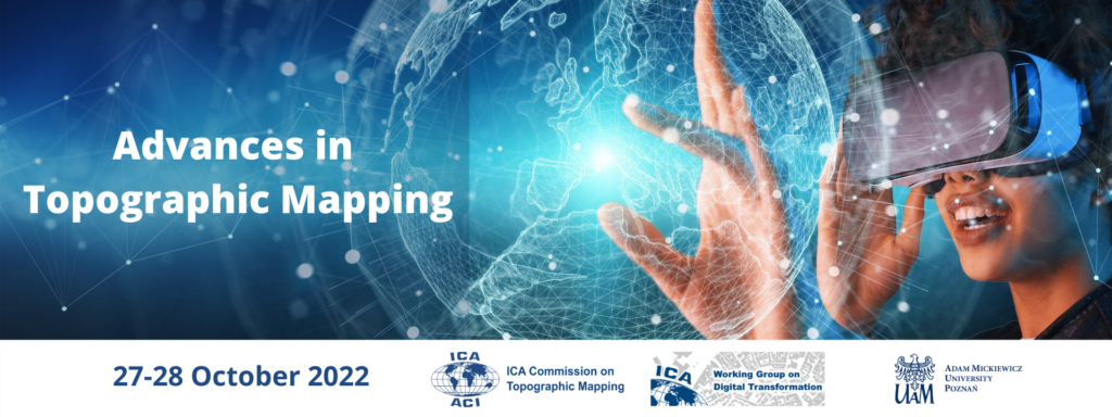
The ongoing development of technologies and datasets present new challenges and opportunities for producers and users of topographic mapping. In particular, AI and machine learning present new methods for facilitating the design and production of topographic maps, while AR/VR offer new possibilities for users to engage with topographic data. This virtual conference aims to provide a forum for national mapping organisations and academic researchers to discuss the strategic implementation of these technologies and to explore their potential. This includes the  use of open-source data for national mapping and the creation of new topographic products, such as immersive virtual geographic environments. The conference offers a forum for national mapping organisations and academic researchers to address key issues in the utilisation of new technologies and to explore opportunities for collaboration, particularly for establishing best practice and a relevant research agenda.

The conference is organised jointly by the ICA Commission on Topographic Mapping, the ICA Working Group on Digital Transformation of National Mapping Agencies and the Adam Mickiewicz University in Poznań.

Conference Topics

  • Topographic Mapping and Immersive Virtual Environments (IVE)
  • Utilising Open-Source Data in Topographic Mapping
  • Developments in Topographic Map Production
  • Enhancing User Experience of, and Trust in, Topographic Maps

Programme

The full programme has been published and can be accessed here.

Registration

Registration is open here. Deadline for registration is 21 October 2022.

For more information visit the conference website: https://topo.icaci.org/advances-in-topographic-mapping-2022/

Call for Papers for the International Virtual Conference Advances in Topographic Mapping

The International Cartographic Association’s Commission on Topographic Mapping and the Working Group on Digital Transformation of the National Mapping Agencies will jointly host the Virtual International Conference on the Advances in Topographic Mapping on 27-28 October 2022.

Conference Topics

  • Topographic mapping and Immersive Virtual Environments (IVE)
  • AI and machine-learning applications in topographic map production
  • Enhancing user experience of, and trust in, topographic maps
  • Developing Augmented/Virtual Reality environments using topographic data
  • Utilising open source data in topographic mapping
  • Developing effective national geoportals in an era of digitalization

Call for Papers

The organizers invite the submission of abstracts for papers. These need to reach the organisers by the 4 September 2022. You can submit your abstract here.

Registration

Registration is open here. Deadline for registration is 21 October 2022

For more information visit the conference website: https://topo.icaci.org/advances-in-topographic-mapping-2022/

Congress of Cartographic Science successfully held as virtual congress

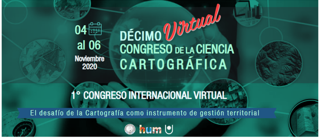
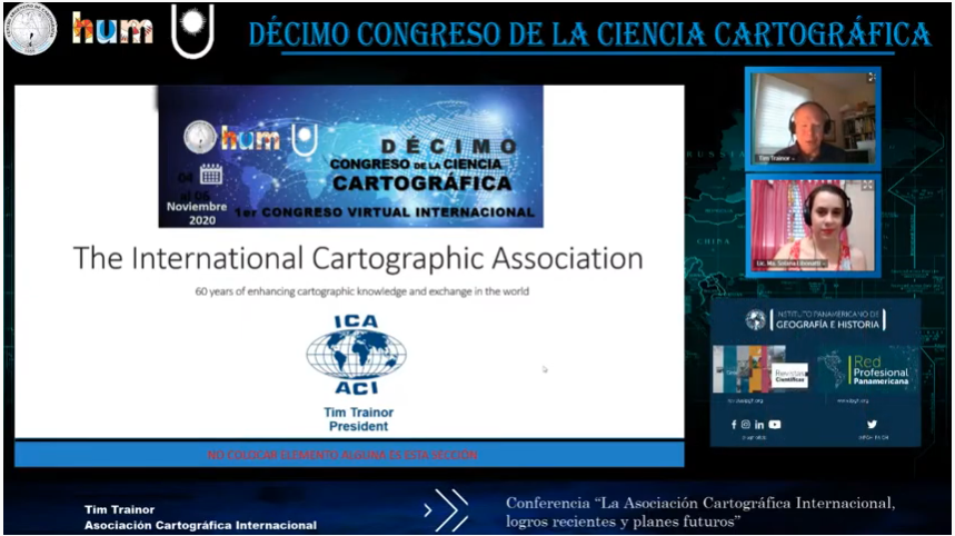
The 10th Congress of Cartographic Science “The challenge of cartography as an element of territorial management” planned to take place in Resistencia, Argentina, was held as the 1st Virtual International Congress on 4–6 November 2020.

This event, which is biannual in nature, was organized by the Argentine Center of Cartography and the Faculty of Humanities of the National University of the Northeast of the Argentine Republic and its main objective was to contribute to the dissemination of activities, projects and research related to knowledge and cartographic work based on geographic information of a different nature due to its objectives, capture scale and recipients.

Throughout its three long days, the work has been very intense due to the amount and diversity of activities: conferences, scientific papers, technical exhibitions, virtual cafes, posters, awards, etc.

The congress summoned a total of 622 attendees, of which 261 were students and 183 guests. They were connected to the virtual transmission through the YouTube channel, with an average of 200 participants per day, from the 23 Argentine provinces and 14 countries: Brazil, Bolivia, Chile, Colombia, Costa Rica, Ecuador, Guatemala, Paraguay, Peru, Uruguay, Mexico, Spain, Hungary and the United States.

The transmissions were made live from the city of Resistencia in the province of Chaco, and were broadcast on the YouTube channel of the Congress of Cartographic Science, where they were recorded for public viewing. This meant a total of 33 hours of live transmission, and more than 5,900 reproductions of the 3 days on the YouTube channel so far.

Simultaneously, 6 Virtual Cafes were held with topics such as: Teacher Education and Training, Collaborative Cartography, Fires, Land Cover and Use, Geographical Names, and Climate Change. An average of 20 participants accessed them, and a total of about 100 people got in touch by this means.

For more information visit https://centrodecartografia.wixsite.com/10ccc/resultadofinal

Category: Member News

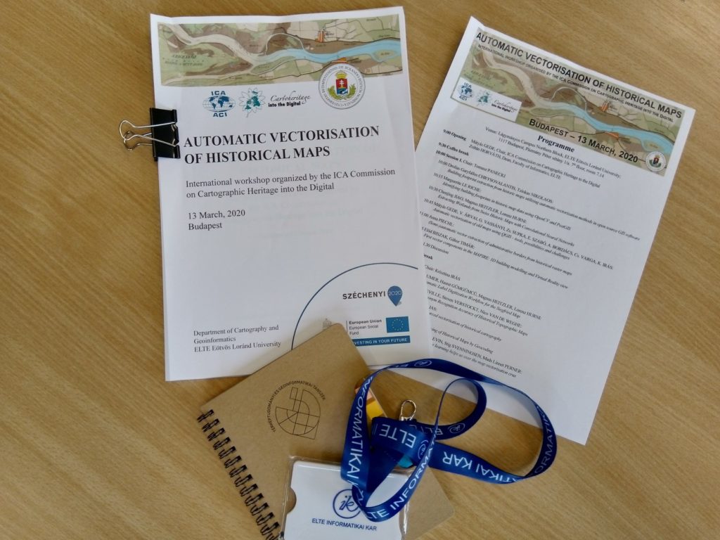
Workshop on Automatic Vectorisation of Historical Maps held as virtual conference

On 13th March, the Commission on Cartographic Heritage into the Digital had its workshop on the Automatic Vectorisation of Historical Maps. Due to the coronavirus situation the workshop had to be held online only. Despite the short time (the meeting ban at the hosting institution was announced only 3 days before the event) most authors managed to join the meeting. The workshop was streamed online, the discussion was realized in a chat group.

rawboned-refined