This page lists working groups of former periods. Current working groups can be found here.
2019–2023
Working Group on the Digital Transformation of National Mapping Agencies
- To facilitate NMAs for their second transformation in the big data era.
- To promote NMA alignment to the United Nations' new Integrated Geospatial Information Framework.
- To network geospatial researchers who are interested in the digital transformation of NMAs.
- To organize sessions and workshops for exploring related issues on new ways of mapping, AI/machine learning, new maps/data services in a cloud/mobile environment.
- To communicate, disseminate, and publish as appropriate the efforts and findings of the Working Group through various communication and publication channels.
Website of the Working Group on the Digital Transformation of National Mapping Agencies
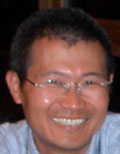 Chair: Bin Jiang
Division of GIScience
Faculty of Engineering and Sustainable Development
University of Gävle
SE-801 76 Gävle
Sweden
e-mail: bin.jiang@hig.se
personal website
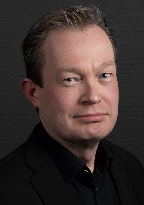 Vice-chair: Juha Oksanen
Finnish Geospatial Research Institute (FGI), Geoinformatics and Cartography
National Land Survey of Finland
Finland
e-mail: juha.oksanen@nls.fi
Working Group on Cartography and Sustainable Development
- Demonstrate how cartography is an effective tool to illuminate gaps, evaluate challenges and identify solutions faced at different (spatial and administrative) scales (or levels of geography and government) in terms of cartographic design, production and data management (missing data).
- Illustrate, curate and share effective cartographic communication techniques for Sustainable Development initiatives for economic, environmental, educational and social phenomena.
- Actively seek to encourage participation in the Working Group from researchers and practitioners in the African, Latin America and Asia-Pacific regions, and those from Small Island Developing States (SIDS), which are currently underrepresented among our ICA membership. We commit to host at least one event in the African region during the term. We also seek, insofar as possible, to also open participation through electronic means, in workshops by using technologies such as Zoom to live cast and record events to improve access for those who cannot physically travel.
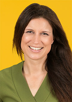 Chair: Britta Ricker
Copernicus Institute of Sustainable Development
Utrecht University
Utrecht
The Netherlands
e-mail: b.a.ricker@uu.nl
personal website
Working Group on the Cartographic Body of Knowledge
- Review current terms related to cartography and propose new terms and updated definitions to current terms as appropriate.
- Investigate Body of Knowledge for related sciences and consider those parts relevant to CartoBoK.
- Identify the core knowledge and concepts of Cartography (what a cartographer should know) and associate those in connection with related sciences/disciplines. Involve ICA Commissions in the work.
- Evaluate and include findings from the revised research agenda and other future trends documents.
- Present a conceptual model for the organization of CartoBOK at ICC in Florence. Get acceptance of the model to carry on with detailed framing of CartoBoK.
- Collect, review, and publish individual contributions to the CartoBoK and develop a procedure for updating and refining the CartoBoK to make it a dynamic, living document. This process should be carefully handled by an editor.
- Keep the Cartographic community updated on the progress in the development of CartoBoK through a web-site. Eventually the Body of knowledge for Cartography will be communicated through this web-site.
Website of the Working Group on the Cartographic Body of Knowledge
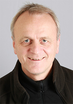 Chair: Terje Midtbø
Department of Civil and Environmental Engineering
Norwegian University of Science and Technology
Norway
e-mail: terjem@ntnu.no
Working Group on the History of ICA
- ICA Archives
- to identify, assess, organise, digitise and preserve ICA records and documents held at various locations around the world
- to recommend strategies for discoverability, accessibility and storage of ICA archives
- to recommend management solutions concerning ICA records
- to actively search for new documents relevant to ICA history
- to record, document and preserve oral history concerned with ICA
- ICA Chronicle
- to research and document the history of ICA
- to develop foundations for the knowledge base concerning ICA
- to publish results of the work undertaken (ICA News, journal articles, etc)
- ICA Hub
- to provide support and expertise to ICA community (Committees, Commissions, ICA members) relating to Association's history and heritage
- to answer general enquiries concerning ICA and its history
- to recommend strategies for sustaining institutional knowledge into the future
Website of the Working Group on the History of ICA
 Chair (2019-2023):
Igor Drecki †, editor of the ICA News
The University of Auckland Library
Private Bag 92019
Auckland 1142
New Zealand
Working Group on a New Research Agenda in Cartography
- Exchange with ICA commissions, the ICA working group on “Body of Knowledge” and regional cartographic communities
- Categorize contemporary cartographic research topics according to an inclusive principle
- Analyze the impact of new technologies on cartography and vice versa
- Collect and reflect on review papers in different topic categories along with contextual information
- Identify emerging topics with cartographic initiatives or active participation
 Chair: Liqiu Meng
Chair of Cartography
Technical University of Munich
Germany
e-mail: liqiu.meng@tum.de
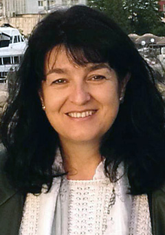 Vice-Chair: Temenoujka Bandrova
University of Architecture, Civil Engineering and Geodesy
Bulgarian Cartographic Association
Bulgaria
e-mail: tbandrova@abv.bg
Working Group on Ethics in Cartography
- Review work to date on guidelines for ethical conduct and practices in cartography and closely related fields. This may include codes of ethics, codes of conduct, and principles for ethical practices, among others.
- Use the reviewed materials, and other resources as necessary, to articulate a set of basic guiding principles that reinforce ethical behavior and practice in cartography, focusing first on mapmaking, and in particular, the making of maps that are meant to support decision making (as opposed to maps for advertisement, propaganda, and such.)
- Develop guidelines that arise from and are justified by the basic guiding principles that help direct and assess a mapmaker’s decisions. These guidelines should reinforce the making of maps that convey their message accurately, justifiably, and thoroughly and, as such, can be taken to be reliable information sources.
- Identify resources created or endorsed by cartographic practitioners or professional organizations that relate to the guidelines and provide a better understanding of and/or practical experience with the skills needed for ethical mapmaking.
- Distribute all of the above in an open access format (distributed online and free of access charges or other barriers).
- Promote community involvement in the development of guidelines and collection of resources, paying special attention to opportunities to expand or update existing materials due to technological advancements or societal changes.
- Assess additional areas within cartography for which principles and guidelines for ethical conduct and practices are also justified (the business of maps and map preservation and curation, for example).
2015–2019
Working Group on Body of Knowledge on Cartography
Institute of Geoinformation and Cartography
Vienna University of Technology
1040 Vienna
Austria
phone: +43 1 58801 12611
e-mail: georg.gartner@tuwien.ac.at
Center of Excellence for Geospatial Information Science
U.S. Geological Survey
1400 Independence Rd.
Rolla, MO 65401-2502
phone: +1 573-308-3837
e-mail: usery@usgs.gov
Working Group on International Map Year
Website of the International Map Year
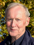 Chair: Bengt Rystedt
 Leif Erikssons Väg 4
SE-261 62 Glumslöv
Sweden
phone: +46-418-734 05
mobile: +46-70-607 3429
 Member: Ferjan Ormeling
Cartography section
Faculty of Geographical Sciences
Utrecht University
PO Box 80115, 3508TC
The Netherlands
fax: +31 30 2540604
e-mail: f.ormeling@geog.uu.nl
personal website
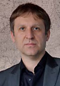 Member: Vít Voženílek
Department of Geoinformatics
Palacký University, Olomouc
17. listopadu 50, 771 46 Olomouc
Czech Republic
phone: +420 585634513
e-mail: vit.vozenilek@upol.cz
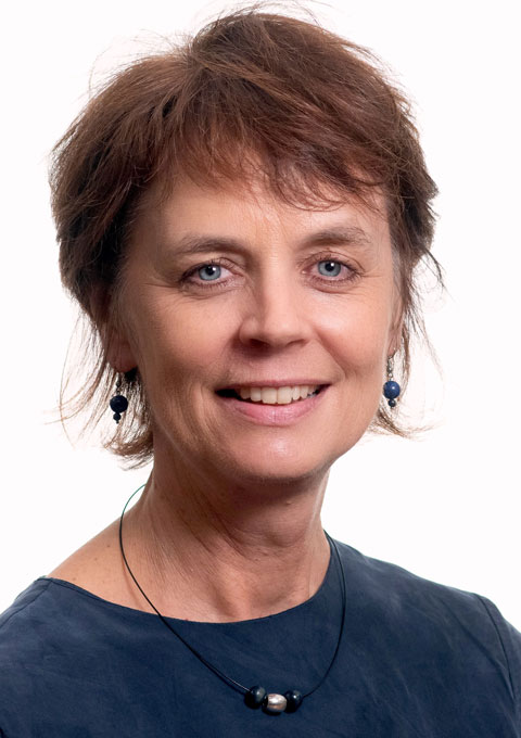 Member: Serena Coetzee
 Centre for Geoinformation Science
University of Pretoria
Republic of South Africa
e-mail: serenacoetzee@gmail.com
 Member: David Fairbairn
School of Civil Engineering and Geosciences
Cassie Building
Newcastle University
Newcastle upon Tyne NE1 7RU
England
phone: +44 (0)191 222 6353
fax: +44 (0)191 222 6502
e-mail: dave.fairbairn@newcastle.ac.uk
Executive Committee liaison: Vít Voženílek
Working Group on Marine Cartography
- Establish a cohort of interested members on the WG on Marine Cartography, working to consolidate the WG with the longer term aim of re-establishing an ICA Marine Cartography Commission by the time of ICA General Assembly 2019.
- Maintain a positive ICA "voice" as the expert voice of cartography within the maritime industry.
- Provide a focus group within ICA for harnessing authoritative cartographic advice pertaining to the maritime world, such as, but not exclusively, in the areas of navigation, ocean management and the depiction of ocean systems.
- Foster quality mapping and cartographic modelling, including state-of-the-art visualization technologies, geospatial processing and publishing tools, for nautical charts and ECDIS systems.
- Cooperate at the scientific level with the IHO for the development of Marine Spatial Data Infrastructures, standards and bathymetric data quality.
- Articulate cartographic issues arising in the marine cartography industry sector and the ICA Commissions, suggesting areas where ICA cartographic expertise and research can be brought to bear on a specific issue or topic.
- Study the development of cartographic influence with special reference as a primary aid to the management of coastal regions of the world, including critical maritime incidents.
- Provide appropriate qualified and/or experienced members representing ICA membership (two persons) on the FIG/IHO/ICA IBSC.
- Liaise with the CoastGIS Scientific Committee (NB: the previous ICA Commission on Marine Cartography was a founding partner in the CoastGIS series of symposia).
- Liaise with the IGU Commission on Coastal Systems.
PO Box 174
Belrose West 2085
Australia
phone: +61 405 576 196
e-mail: rfurness@ozemail.com.au
Executive Committee liaison: Menno-Jan Kraak
2011–2015
Joint ICA Working Group and IGU Commission on Toponymy
- to foster geographic/cartographic research in the field of place names, especially as regards:
- functions of place names on maps
- rendering of place names on maps
- names placement on maps
- elaborating principles for creating new place names
- place names as expression of time – or space-related identity
- place name/feature relations
- motives for place naming
- place names and administration
- place names and transportation
- place names in the cyber world
- social dimensions of place names
- elaborating principles for solving place-name conflicts
- to disseminate the scientific knowledge on processing and use of place names within geography and cartography;
- To link the toponymy concepts used by other sciences such as anthropology and linguistics to those used in cartography and geography;
- to support the establishment of national and regional boards on geographical names;
- to support the efforts of international standardization of geographical names, such as undertaken by UNGEGN);
- to maintain contacts and scientific exchange with UNGEGN and ICOS, such as by organizing joint events;
- to support and encourage the elaboration and publication of gazetteers, toponymic data files and place-names reference systems (such as EuroGeoNames).
 Chair: Paulo Menezes (ICA)
 R Conselheiro Zenha 21 Cob 01
Tijuca
Rio de Janeiro, RJ 20550-090
Brazil
phone (home): +55 21 25688991
phone (mobile): +55 21 99143269
phone (university): +55 21 25901880
fax: +55 21 22707773
e-mail: pmenezes@acd.ufrj.br
personal website
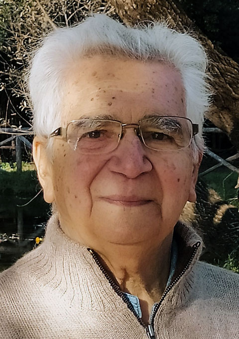 Chair: Cosimo Palagiano (IGU)
 Emeritus Professor of Geography
University of Rome "La Sapienza"
Piazzale Aldo Moro 5
00100 Rome
Italy
phone: +39 06 49913 917
fax: +39 06 49913874
e-mail: cosimopalagiano2@gmail.com
personal website
Executive Committee liaison: Georg Gartner
Working Group on International Map Year
- Create a text book on Cartography and Geographic Information for the general public;
- Elaborate plans for national activities and establish national contacts;
- Involve the ICA commissions in the work;
- Find sponsors among the affiliate members;
- Establish contacts with the UN and the sister organizations (through the ICA Executive Committee and the JBGIS);
- Produce information that can be used at national Map Days;
- Follow up and update the working plan at the ICC in Dresden 2013.
Website of the International Map Year
 Chair: Bengt Rystedt
 Leif Erikssons Väg 4
SE-261 62 Glumslöv
Sweden
phone: +46-418-734 05
mobile: +46-70-607 3429
 Member: Ferjan Ormeling
Cartography section
Faculty of Geographical Sciences
Utrecht University
PO Box 80115, 3508TC
The Netherlands
fax: +31 30 2540604
e-mail: f.ormeling@geog.uu.nl
personal website
 Member: Vít Voženílek
Department of Geoinformatics
Palacký University, Olomouc
17. listopadu 50, 771 46 Olomouc
Czech Republic
phone: +420 585634513
e-mail: vit.vozenilek@upol.cz
 Member: Serena Coetzee
 Centre for Geoinformation Science
University of Pretoria
Republic of South Africa
e-mail: serenacoetzee@gmail.com
 Member: David Fairbairn
School of Civil Engineering and Geosciences
Cassie Building
Newcastle University
Newcastle upon Tyne NE1 7RU
England
phone: +44 (0)191 222 6353
fax: +44 (0)191 222 6502
e-mail: dave.fairbairn@newcastle.ac.uk
Executive Committee liaison: Georg Gartner
2007–2011
Working Group on Art and Cartography
- To explore the art element of cartography by:
- facilitating for a that encourages interaction between cartographers who work with the Art aspects of cartography and artists who produce cartographic artefacts.
- developing theory on art and cartography and cartography and art
- To encourage interdisciplinary cross-fertilisation of ideas and concepts by:
- encouraging inter-disciplinary discourse.
- facilitating inter-disciplinary discourse.
- encouraging inter-disciplinary projects.
- encouraging interdisciplinary publications.
- Disseminating information about developed theory and ontologies related to the interaction of art with cartography and cartography with art by:
- facilitating installations with associated annotated catalogues.
- developing blogs.
- publishing special issues of journals.
- developing and publishing books.
Website of the Working Group on Art and Cartography
Co-chair: Barbara Piatti
Institut für Kartografie
ETH Zürich
Wolfgang Pauli Straße 15
8093 Zürich
Switzerland
e-mail: bpiatti@ethz.ch
Co-chair: Sébastien Caquard
316 Saint-Joseph est
Montreal, Qc, H2T 1J2
Canada
e-mail: scaquard@gmail.com
Executive liaison: William Cartwright
Department of Geospatial Science
RMIT University
GPO Box 2476V
Melbourne, Victoria 3001
Australia
phone: +61 3 9925 2423
fax: +61 3 9663 2517
e-mail: w.crtwrght@gmail.com
Working Group on Cartography on Early Warning and Crisis Management
- Provide leadership in the development of concepts, ontologisation and standardization of early warning for hazard, risk and vulnerability mapping and cartographic modelling.
- Promote the cartographic use of remotely sensed and other geospatial data and various analysis techniques for early warning and crisis management by organizing conferences, seminar and workshops.
- Investigate psychological condition of end user given by their personal character and situation and psychological condition of rescued persons.
- Promote capacity building and quality mapping, and cartographic modelling including modern technology for early warning and crisis management through topic related publications.
- Participate and contribute to global initiatives in early warning and crisis management for instance through the maintenance of a website.
- Promote hazard, risk and vulnerability mapping for crisis management and communication.
- Develop mechanisms and networks for exchange of information among stakeholders on crisis management and early warning.
Chair: Milan Konecný
Department of Geography
Masaryk University
Kotlárská 2
611 37 Brno
Czech Republic
phone: +420 5 4949 5135
fax: +420 4949 1061
e-mail: konecny@geogr.muni.cz
personal website
Working Group on Census Cartography
- Share and exchange information on mapping methodologies that support censuses and statistical surveys.
- Encourage the use of new technologies and approaches supporting census mapping.
- Serve as a forum for census cartographers and organizations that promote census mapping activities.
Website of the Working Group on Census Cartography
Chair: Tim Trainor
Geography Division
U.S. Census Bureau
4600 Silver Hill Road – Mail Stop 7400
Washington, D.C. 20233-7400
United States of America
phone: +1 301 763 9161
fax: +1 301 763 4710
e-mail: timothy.f.trainor@census.gov
Working Group on Crime Mapping
- To sketch out a research agenda for crime mapping.
- In collaboration with other ICA Commissions and Working Groups, as appropriate, to conduct research on crime mapping, focusing especially on the forensic and cartographic rigour of crime maps, particularly for their use in court.
- To collaborate at the scientific level with other organizations active in crime mapping research, such as by arranging joint meetings.
- To develop books, reports, conference presentations and/or journal articles on our work, and to hold specialist meetings on these topics.
- To organize a reporting session on the Working Group's activities at the 2011 ICA meetings. To organize and hold Working Group meetings in 2010 and 2011.
- To exchange information and reports by the ICA member countries and relevant bodies concerning crime mapping research.
- To establish a mailing list and a web site for the Working Group.
Chair: Peter Schmitz
CSIR South Africa
phone: 012 841-3841
e-mail: pschmitz@csir.co.za
Working Group on GIS and Sustainable Development
- The creation of a precise action plan of the working group (the results of the work should be supervised on volume and terms of performance and should have various connections with each other).
- To produce a program for GIS and Cartographic basis of sustainable development (SD) of territories. Creation of some its modules.
- The organization of uniform actions (including performance of projects, holding conferences etc.), on which experts from the different spheres would be involved. In particular to hold the conference that will unit the different experts interested in sustainable development of territories. The press will be involved for propagation of achievements of cartography and GIS.
- To organise a regional workshops and summer-schools on GIS and Cartography for developing SD projects.
- To provide the connections and performance of teamwork, holding conferences, schools with the adjacent organizations - the commission on geographical information sciences IGU, Digital Earth, UNIGIS et cetera.
- To continue the work on realization of international conferences InterCarto, which since 1994 were annually carried out in Russia and in the other countries.
- To encourage and support the involvement of student cartographers in the working group activities.
Chair: Vladimir Tikunov
Laboratory of Integrated Mapping and Laboratory of Sustainable Development of Territories
Faculty of Geography
M. V. Lomonosov Moscow State University
Vorobievy Gory, MSU, main building
119991 Moscow
Russia
phone: +7 495 939 13 39
fax: +7 495 932 88 36
e-mail: tikunov@geogr.msu.su
personal website
Working Group on Mapping Africa for Africa
- To further the objectives of the Durban Statement on Mapping Africa for Africa.
- To liaise with the Committee on Development Information (Geo-information) of the UN Economic Commission for Africa relating to Mapping Africa for Africa initiatives and projects.
- To bring together experts in fields relevant to ICA to provide a voluntary advisory service to Mapping Africa for Africa initiatives and projects.
- To promote Mapping Africa for Africa initiatives and projects at the international and regional level, including the New Partnership for Africa’s Development (NEPAD).
Chair: Derek Clarke
Chief Directorate, Surveys and Mapping
Private Box X 10
Mowbray 7705
South Africa
phone: +27 21 658 4300
fax: +27 21 689 1351
e-mail: dclarke@sli.wcape.gov.za
Working Group on Open Data Access and Intellectual Property Rights
- Disseminate information on the subject to the ICA member nations.
- Continue the implementation of the ICA Third World Policy by providing experts for workshops in developing countries when requested.
- Coordinate commission activities with other ICA commissions, whenever possible.
- Coordinate activities with commissions of other international organizations if this is in line with the aims and objectives of ICA.
- Encourage representatives of all groups to participate in the Working Group on Open Data Access and Intellectual Property Rights (ODA and IPR).
- Serve as a resource in preparing papers about current legislation in different countries for open data access and intellectual property rights, with particular reference to their application to cartography.
- Develop an agreement on the definition and characteristics of open data access and intellectual property rights in cartography, paying particular attention to digital cartographic material and dissemination over the Internet.
- Identify and present issues with respect to the objects and subjects of IPR and the free use and archival of cartographic works.
- Develop or foster an agreement on the development of open data access and IPR in the field of cartography.
- Prepare guidelines about best practices, policies and business models for ODA and IPR.
- Organise workshops and conferences on ODA and IPR.
- Foster harmonisation of ODA and IPR among subjects or within objects such as digital cartographic works.
Website of the Working Group on Open Data Access and Intellectual Property Rights
Chair: Lucia Lovison-Golob
Afriterra Foundation www.afriterra.org
Lucia Lovison-Golob
Afriterra Foundation
60 Temple Street
Boston, MA 02114
United States of America
phone: 617-852-8389
lovison@afriterra.org
lovison@post.harvard.edu
Working Group on Open Source Geospatial Technologies
- To promote the widespread use of open source geospatial software.
- To provide support for the use of open source geospatial software in education through relevant publications.
- To organise conferences, workshops and training sessions for open source geospatial technologies.
- To organise special lectures and demonstrations on open source geospatial technologies.
- To make open source geospatial software more accessible to end users.
- To serve as a network for ICA members interested in open source geospatial technologies by the use of mailing lists, wiki etc.
- Through collaboration with other ICA commissions and working groups promote coordination with different open source geospatial organisations (eg. Open Source Geospatial Foundation) and developer communities.
- Develop and keep updated the working group's website to disseminate the working group activities.
- Produce annual reports of the working group activities.
Website of the Working Group on Open Source Geospatial Technologies
Chair: Suchith Anand
Centre for Geospatial Science
Sir Clive Granger Building
Nottingham University
Nottingham NG7 2RD
England
phone: +44 115 846 8408
suchith.anand@nottingham.ac.uk
Working Group on Tourist Cartography
- Investigation of development tendencies on special branch of cartography vis-à-vis tourist cartography on international level.
- Propaganda of the best form producing and products on the world tourist cartography.
- Establishing of working contacts between ICA and IOF (International Orienteering Federation), IMTA (International Map Trade Association).
- Assistance and support of those countries, which have a little experience in producing of tourist cartographic products.
- Creation of Tourist map and atlas general catalogue (annual report). Working out of the structure and content. Gathering of database.
- Creation of content glossary of tourist map products.
- Unification of tourist map symbols.
Chair: Yuriy Artemyev
JSC "Karta"
ul. Chernyakhovskogo, 49-b
Saint-Petersburg
Russia 191119
1989–1995
| Working Group | Chair |
| Gender in Cartography | Eva Sikierska (CAN) |
| IFLA/ICA cooperation | Johann Neumann (GER) |
| Marine Charting | Ron Furness (AUS) |
| Market of GI | Victor Glickman (CAN) |
| Theoretical cartography | Tosimoto Kanakubo (JAP) |
1980–1984
| Working Group | Chair |
| Basic Manual of Cartography | Koeman |
| Multilingual Dictionary of Technical Terms | Meynen |
| Inter-Association WG ICA-IFLA on Documental Aspects of Cartographic Material | |
| Inter-Association WG ICA-IGU on Environmental Atlases |


 Chair: Aileen Buckley
One Response