If this newsletter is not shown correctly, please click here.


Table of contents


eCARTO News December 2020

eCARTO News captures the latest cartographic news and developments from around the world. If you have any general cartography items of interest then please email them to David Fraser, editor of eCARTO News.

Cartography – A World View

Cartographic Crime

Cartographic Communication

Cartography – Interactive

Cartographic Algorithms

  • Machine Learning and Object Detection in Spatial Analysis – gislounge.com
  • Machine Learning and Object Detection for the rest of us – mapscaping.com

Mapping Applications

Sharing – real or virtual

Cartography Sources & Resources

Just Maps

History

  • The intriguing maps that reveal alternate histories – bbc.com
  • William Hacke: A Pirate’s Cartographer – blogs.loc.gov

Allied to Cartography


President’s Blog: ICA joins the OGC as Associate Member

OGC logoThe ICA recently joined the Open Geospatial Consortium (OGC) as an associate member. As an international consortium of more than 500 businesses, government agencies, research organizations, and universities, the OGC focuses on the interoperability of geospatial data, applications and services “to make geospatial (location) information and services FAIR – Findable, Accessible, Interoperable, and Reusable” (https://www.ogc.org/).

OGC membership makes it possible for ICA Commission Members to participate in standards development and gives them access to member-only content in the OGC portal. This includes attendance and participation in OGC meetings, voting rights in working groups, and insight into geospatial technology trends with recommendations for actions in the technology forecast report. Additional benefits are the awareness and promotion of the ICA and cartography to a broader public and further intensified contact with leading geospatial organisations.

The Commissions on SDI and Standards, Cognitive Issues in Geographic Information Visualization and Open Source Geospatial Technologies have started regular discussions to coordinate the ICA’s involvement in the OGC. We think that the ICA can make a particular contribution by contributing to the standardization of cartography-specific terminology and by bringing in a user-centred perspective to the technical standards of the OGC through communicating our understanding of what design choices are effective.


Congress of Cartographic Science successfully held as virtual congress

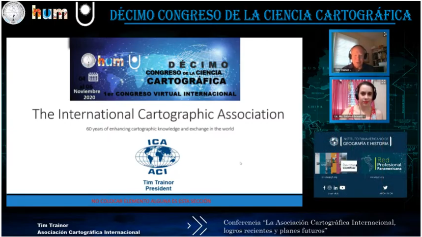
The 10th Congress of Cartographic Science “The challenge of cartography as an element of territorial management” planned to take place in Resistencia, Argentina, was held as the 1st Virtual International Congress on 4–6 November 2020.

This event, which is biannual in nature, was organized by the Argentine Center of Cartography and the Faculty of Humanities of the National University of the Northeast of the Argentine Republic and its main objective was to contribute to the dissemination of activities, projects and research related to knowledge and cartographic work based on geographic information of a different nature due to its objectives, capture scale and recipients.

Throughout its three long days, the work has been very intense due to the amount and diversity of activities: conferences, scientific papers, technical exhibitions, virtual cafes, posters, awards, etc.

The congress summoned a total of 622 attendees, of which 261 were students and 183 guests. They were connected to the virtual transmission through the YouTube channel, with an average of 200 participants per day, from the 23 Argentine provinces and 14 countries: Brazil, Bolivia, Chile, Colombia, Costa Rica, Ecuador, Guatemala, Paraguay, Peru, Uruguay, Mexico, Spain, Hungary and the United States.

The transmissions were made live from the city of Resistencia in the province of Chaco, and were broadcast on the YouTube channel of the Congress of Cartographic Science, where they were recorded for public viewing. This meant a total of 33 hours of live transmission, and more than 5,900 reproductions of the 3 days on the YouTube channel so far.

Simultaneously, 6 Virtual Cafes were held with topics such as: Teacher Education and Training, Collaborative Cartography, Fires, Land Cover and Use, Geographical Names, and Climate Change. An average of 20 participants accessed them, and a total of about 100 people got in touch by this means.

For more information visit https://centrodecartografia.wixsite.com/10ccc/resultadofinal


Upcoming events

26 May 202128 May 2021
(POSTPONED) IGU Conference on Heritage Geographies: Politics, Uses and Governance of the Past
14 Jun 202119 Jun 2021
(POSTPONED) 8th International Conference on Cartography and GIS

To get more information about the events, please visit our calendar.